바우어스트 최고의 워킹 & 하이킹 경로
4.6
(830)
6,142
등산객
473
하이킹
Komoot에 등록된 바우어스트 내 트레일 및 경로 컬렉션 중에서 하이킹과 워킹을 가장 멋지게 즐길 수 있는 곳을 알려드릴게요. 아래에서 각 경로의 상세 정보를 모두 확인한 후, 바우어스트 속 자연에서 즐거운 시간을 누려보세요.
마지막 업데이트: 10월 7, 2026
4.7
(10)
84
등산객
10.7km
02:58
190m
190m
보통 하이킹. 좋은 체력 필요. 실력과 관계없이 누구나 쉽게 갈 수 있는 길.
4.7
(6)
24
등산객
6.36km
01:48
130m
130m
초급용 하이킹. 모든 체력 수준에 적합. 실력과 관계없이 누구나 쉽게 갈 수 있는 길.

4.3
(3)
19
등산객
16.2km
04:26
240m
250m
보통 하이킹. 좋은 체력 필요. 실력과 관계없이 누구나 쉽게 갈 수 있는 길.
4.3
(4)
14
등산객
11.1km
02:56
90m
100m
보통 하이킹. 좋은 체력 필요. 실력과 관계없이 누구나 쉽게 갈 수 있는 길.
5.0
(4)
10
등산객
8.86km
02:18
60m
60m
보통 하이킹. 좋은 체력 필요. 실력과 관계없이 누구나 쉽게 갈 수 있는 길.
더 다양한 경로와 다른 탐험가들의 추천을 살펴보세요.
이미 komoot 계정이 있나요?
투어 추천은 다른 사람들이 komoot에서 완료한 수천 개의 활동을 바탕으로 구성되어 있습니다.
오늘 무료 계정으로 시작하세요
다음 모험이 기다리고 있어요.
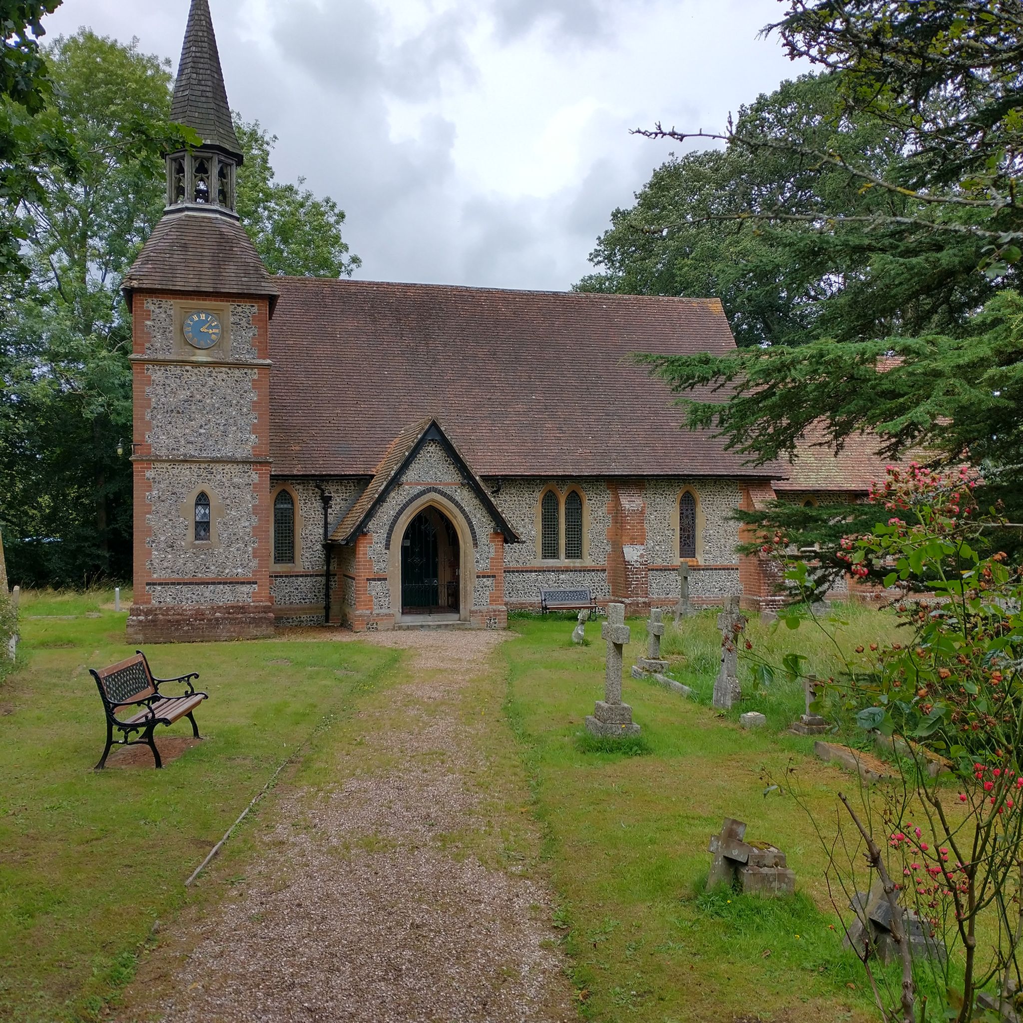
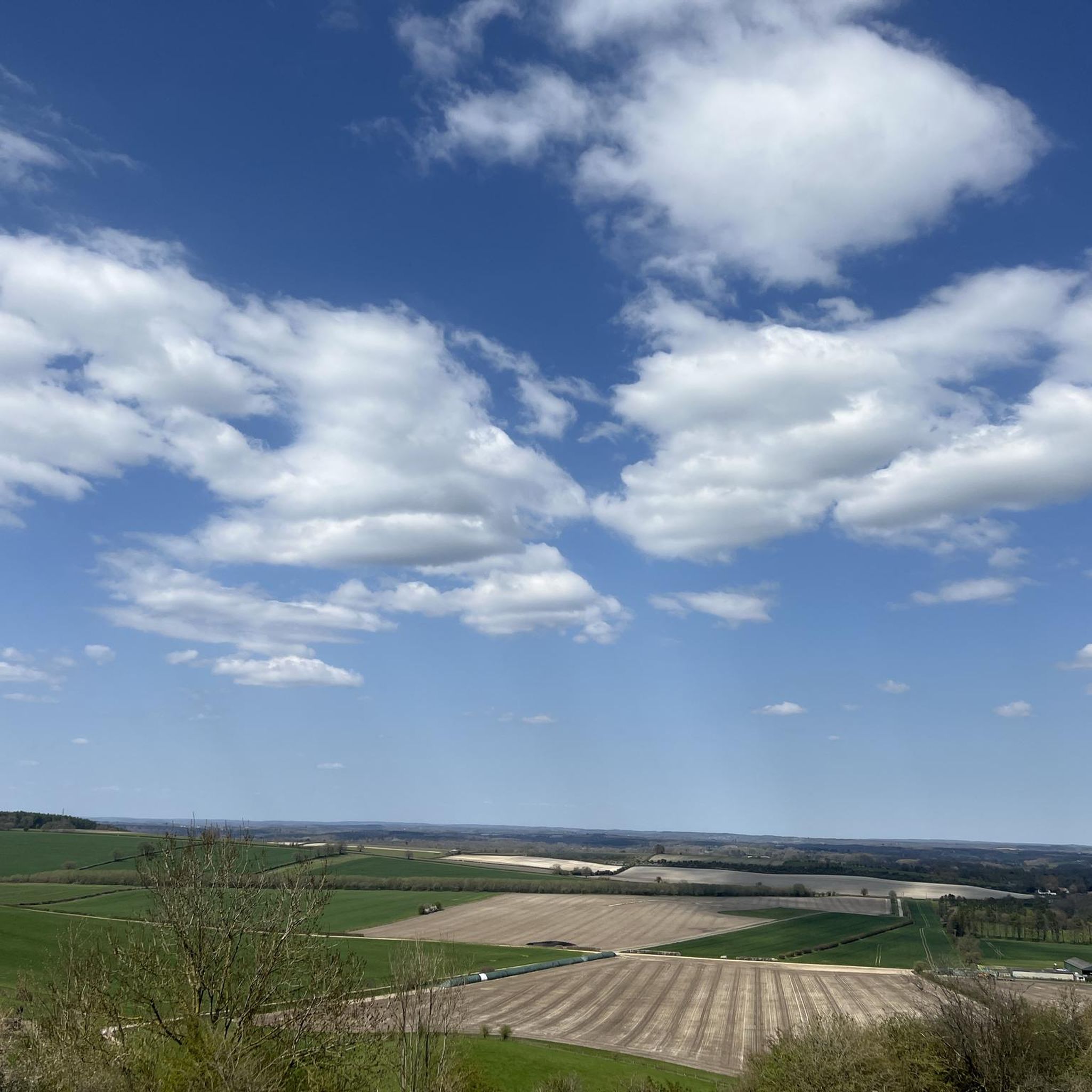
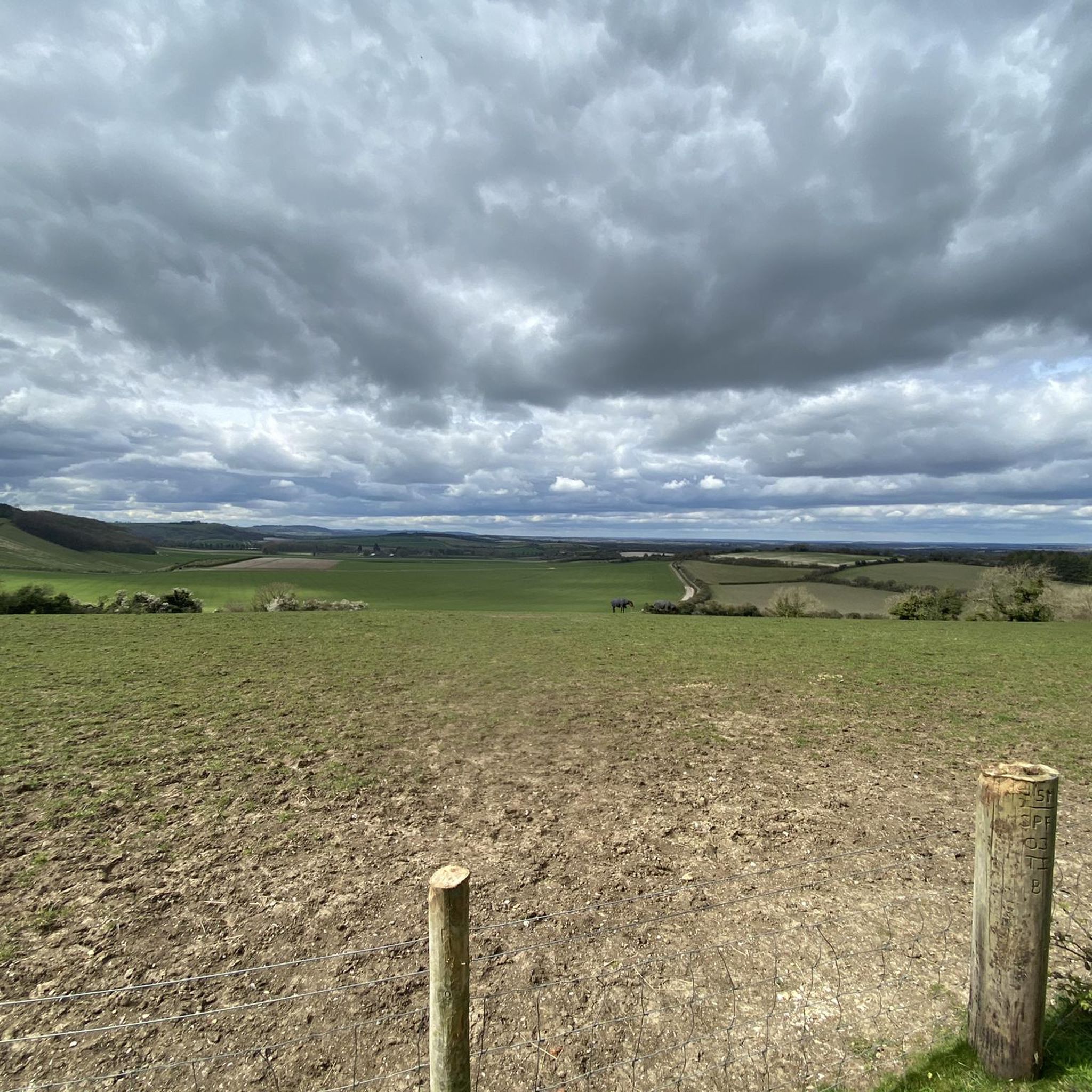
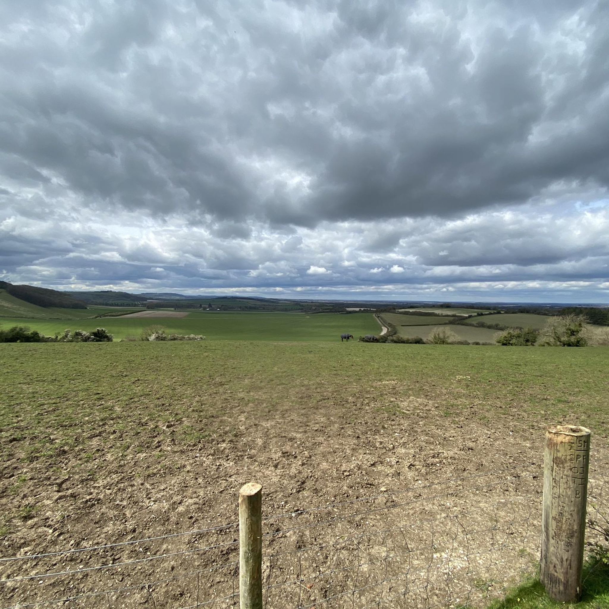

커뮤니티 팁

Watership Down Star rating: 4.7 out of 5 stars4.7Category:📍 Scenic spot Click to open side panel for more information'... I’m a huge Watership Down fan and it was magical to be here. ...'Opens in a new windowKaylaIf you’ve ever wanted to live out your own bunny adventure (minus the scary owls and general peril), Watership DownClick to open side panel for more information is a real, spectacularly beautiful place in North Hampshire. It’s part of a high chalk ridge that feels like the "top of the world" with views that stretch on forever.Everything in Richard Adams’ famous book—from the steep slopes to the specific farmhouses—is based on the real-life geography of this area. Here is how to enjoy it in a fun, relaxed way:The "Summit" ExperienceThe hill itself rises steeply on its northern side and slopes gently to the south. It’s a favorite for hikers and cyclists who want to feel like they’re standing on the spine of England.The Memorial Tree: At the top, you’ll find a beech tree planted in memory of Richard Adams. The original "Beech Hanger" from the book was destroyed in a 2004 storm, but the new one is protected by a wooden fence where fans have carved the names of the rabbits like Hazel, Bigwig, and Fiver.The "Iron Age" Vibe: The top of the hill is actually a partially completed Iron Age hill fort. You can still see the ancient earthworks and burial mounds (tumuli) that give the place a mysterious, ancient energy.Real Rabbits: Yes, there are actually plenty of rabbits! If you go at dawn or dusk, you’ll see the modern-day descendants of the book’s heroes hopping around the chalk grassland.Hidden Book LocationsYou can actually "track" the rabbits' journey through the local landscape, as almost every landmark in the story exists in the real world.Nuthanger Farm: This is a real working farm located just below the down. You can see it from the public footpaths, and it looks remarkably like the descriptions in the novel.The River Test: The rabbits famously crossed this river on a wooden punt. In reality, the Test is one of the clearest "chalk streams" in the world, famous for its trout and crystal-clear water.The Wayfarer’s Walk: This is the main "highway" for hikers that runs right along the ridge of the down. It’s the easiest way to navigate the area while soaking in the 360-degree views of the North Wessex Downs.
0
0
It's rather a steep way up, and weather depending, can be quite the challenge. Good footwear essential, but the hard effort is worth it with the views up top
1
0
Ladle Hill Fort is a famous unfinished Iron Age hillfort in Hampshire, England. Its abandonment mid-construction makes it invaluable for archaeologists, revealing the building methods for univallate enclosures. The site, also a Scheduled Monument, features well-preserved earthworks, a disc barrow, and earlier Bronze Age linear ditches, offering clear insights into ancient construction.
0
0
The Wayfarer's Walk is a 70-71 mile (113-114 km) long-distance footpath in England, running from the highest chalk downland to the coast. Here are the key details, which clarify its route regarding Wiltshire: Overall Route: It stretches from Inkpen Beacon (near the border of Berkshire/Hampshire) in the north, southwards to Emsworth Harbour on the south coast of Hampshire. Wiltshire Connection: The trail is primarily located within Hampshire and starts just over the border in West Berkshire. It does not pass through the main body of Wiltshire. Highlights: The walk follows ancient drovers' tracks and includes spectacular scenery over the North Wessex Downs, passing notable sites like: Walbury Hill (England's highest chalk hill) Watership Down Ladle Hill (the fort you asked about previously) Views of Highclere Castle The Meon Valley The path is well-marked with a distinctive "WW" waymarker.
0
0

It was memorable to see, but other parts of this walk were more scenic.
0
0
The hillfort on the top of the hill has never been excavated, but the land and ditch are sharply defined and well preserved. This Iron Age fort is roughly rectangular and enclosed seven acres within an embankment and ditch. There are two probable entrances to the east and west. The work seems to have been undertaken by several different labour forces, each working on a section of the defences, but for some reason the task was abandoned and the fort left unfinished. Great to walk along the unfinished ramparts, it's windy and flipping huge!!!
0
0
As a child the tale of Watership down haunted me, the movie traumatised me, to finally be able to visit where Richard Adams based it on was amazing. Such a beautiful area, I rewatched the film a day before coming. I'd not seen it since I was a child. Still a harrowing tale, but can see the genius and beauty of what was hidden in it.
1
0
바우어스트 주변에서 가장 인기 있는 명소


더 살펴보기
다른 지역의 최고의 하이킹를 살펴보세요.
