노스 타우튼에서 가장 멋진 10개의 천연기념물
천연기념물을 방문하여 노스 타우튼의 아름다운 풍경을 만나보세요. 노스 타우튼에 있는 10
개의 천연기념물과 상세 정보를 살펴본 후에 방문하고 싶은 천연기념물을 다음 모험 계획에 추가해보세요!
마지막 업데이트: 8월 19, 2026
나인 메이든스 스톤 서클
하이라이트 • 역사적 장소
팁에 의해

이런 장소를 발견하려면 지금 가입하세요
최고의 싱글 트랙, 봉우리 및 다양한 흥미로운 야외 장소에 대한 추천을 받아보세요.
무료 회원 가입
오늘 무료 계정으로 시작하세요
다음 모험이 기다리고 있어요.
로그인 또는 가입하기

커뮤니티 팁

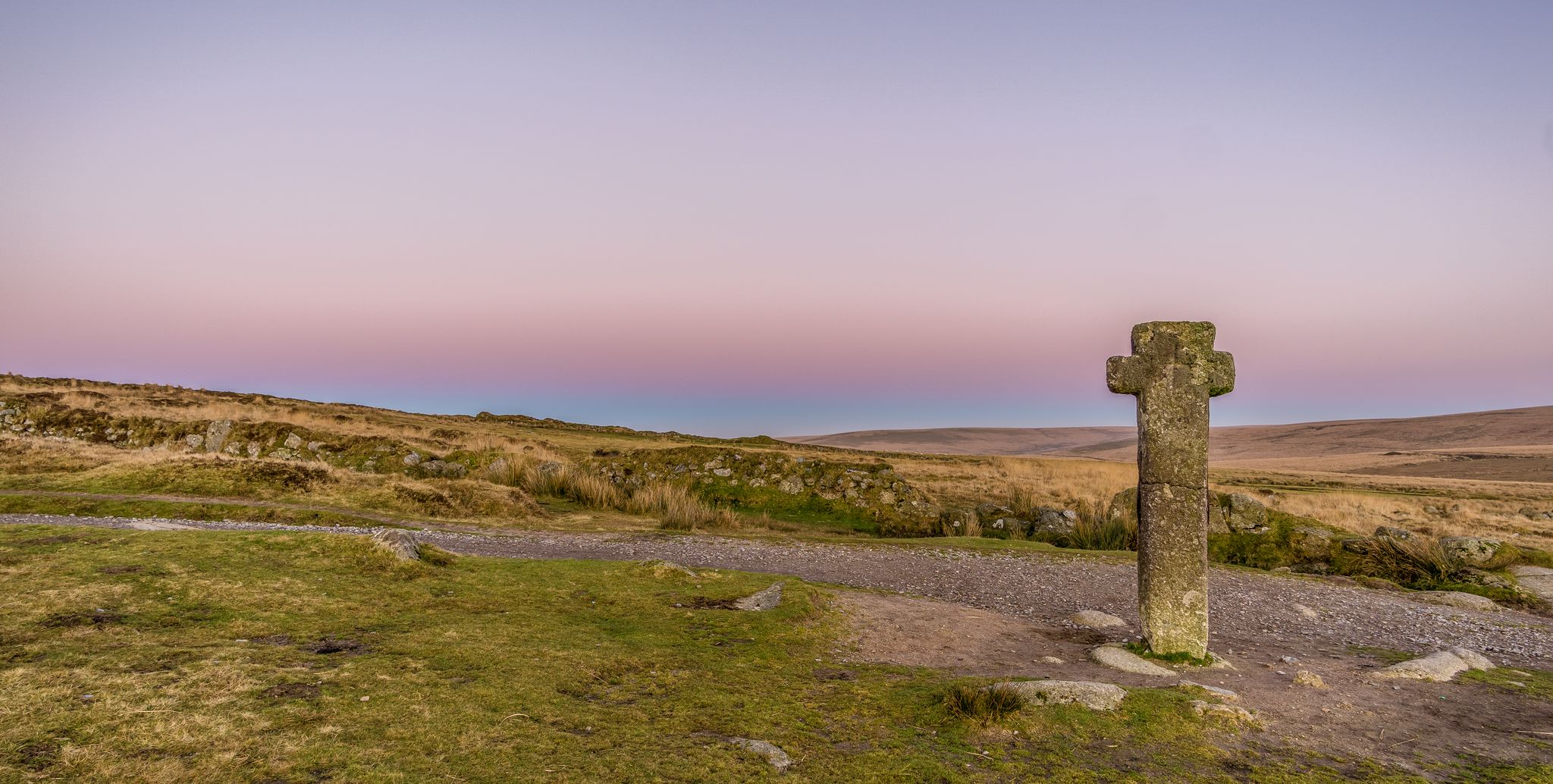
This stone circle from the Bronze Age, thousands of years before the beginning of the Christian era, is not as large and nowhere near as famous as the legendary "Stonehenge" (which is, after all, a UNESCO World Heritage Site; if you're interested, see => https://www.komoot.com/de-de/highlight/960007 ), but this one can be visited without the tourist crowds that are typical there, and it also has a much more interesting-sounding name...
2
0

On the 1st of May every year the local morris dancers come to dance the summer in at dawn at this spot
2
0

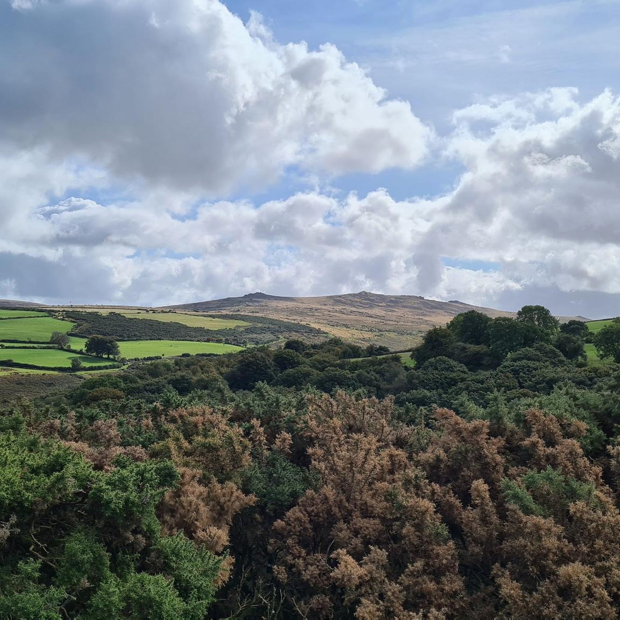
Just below Belstone Tor, Higher Tor is huge. The granite rocks extend across the hillside and give a glimpse into the past when the whole of the area would have been strewn with rock. Running up here you'll find rewarding views across to Yes Tor in the West and Cosdon Hill in the east.
0
0

A charming start to the extensive collection of tors on the Belstone Ridge, Tors End is a long thin band of exposed granite, stretching up the north-western edge of Belstone Common, with an extensive clitter field on the western side. In 'High Dartmoor' Hemery mentions the outcrop but appears to incorrectly place it at the northern edge of the higher ground, at what we call 'Belstone Common Tor'; "...the land falls sharply to a fine satellite pile; smaller, but fiercely characteristic, its bold cone dominates the declining northward crest and is aptly known as Tors End (approx. 1,500 feet)." Also, there is, according to Hemery, a small quarry at the north end known as 'Sand Pit'. As Tors End was the easiest tor to get to and being located closest to the village it seems to have been a target for quarrying. A quarter segment of an abandoned apple crusher can be found on the east side of the main outcrop. There are also abandoned millstones and troughs on the slopes all around the Belstone Tors area. Tim Jenkinson (2001/2) writes; "The quarry at Sand Pit is symbolic of the interest in Belstone's granite and most probably reflects the execution of Venville Rights, a privilege bestowed upon the inhabitants of Dartmoor in return of the payment of rent to the Duchy." Venville Rights allow local people "to remove anything from the Forest that may be for their own use and good"; they date back to 1609 during the reign of James I when it was decreed that the "digging and removal of moorstone is to be used only for the mending of houses and land." Just over 100 years ago Dora James (1911) depicts an interesting scene at the village of Belstone; she bemoans; "There are now at least two granite working yards in the village, although the owners have I believe to pay an annual fee to the Duchy for the removal of stone in such large quantities, which, if for their good, can scarcely be considered for their 'own use'." At that time Belstone was a hive of industry and rocks that were being plundered from the tors, and some stones were worked upon in situ and presumably cast aside if imperfect - that's why we find so many abandoned artefacts up there. Dora was very unhappy about the whole situation as she calls the working places an "eyesore" and felt that the process of "digging out and cutting up the glorious piles" of Belstone Tors "are infinitely to be regretted." She refers to the stones as "grey memorials". It is more commonly accepted by the locals that this, the lower outcrop, is the actual location.
2
0
Unfortunately, the Ordnance Survey representation of the Belstone Ridge is rather disappointing, naming only Belstone Tor and Higher Tor; and while indeed these are prominent tors, it leaves out equally impressive and fascinating outcrops, particularly at the north end. As a result of this, there has been confusion as to the names for some of these rockpiles, leaving some to call the entire collection 'Belstone Tors'. One tor in particular between Belstone Tor and Tors End despite its prominence appears to have never been named, so we have simply labelled this 'Belstone Common Tor'. In the past it has been incorrectly labelled 'Tors End' and even 'Ladybrook Tor', the latter a robust outcrop sitting on the opposite hillside above the River Taw. Eric Hemery (1983) mentions the outcrop at the northern end of the high ground but identifies it, in our opinion, incorrectly; "...the land falls sharply to a fine satellite pile; smaller, but fiercely characteristic, its bold cone dominates the declining northward crest and is aptly known as Tors End (approx. 1,500 feet)." Whilst this is certainly the end of the high ground, which may have swayed Hemery, it ignores the outcrops below to the north-west, which are the true end of the Belstone Ridge and the accepted location of Tors End known to locals. Belstone Common Tor is a fabulous tor in its own right, sufficiently detached from its neighbours to warrant an identity. Its composition is surprisingly dissimilar when compared to the rest of the common: its main pile is a massive heap of broken stones, presenting almost alpine-like from the south. The tor's appearance - that of a jumbled mound of granite rocks - is reminiscent of Sharpitor near Burrator Reservoir. The concentration of clitter all around, but particularly on the east flank of the hill, is mesmerising and indicative of these tors' former magnitude before they were brutally broken up by weathering. The area, strewn as it is by magnificent granite blocks, has also been a target for stonecutters who utilised the abundance of rock and easy accessibility from Belstone village to cut up stone for monetary gain. The north side of Belstone Common Tor has suffered by the scar of a small quarry where you can find an abandoned granite roller at SX 61589 92494, buried in the turf. Where granite cracked under pressure or transportation was deemed to be too laborious, these artefacts were simply abandoned in situ. A number of millstones, troughs, and apple crushers can be found amidst the clitter. The lively stonecutting industry at Belstone Common was not without its critics, however. One well-known figure was Dora James (1911) who proclaimed that the "digging out and cutting up of the glorious piles are infinitely to be regretted." Later, she refers to the stones as "grey memorials", clearly expressing her sadness and frustration at the enterprise. It is fortunate that the extent of the quarrying was kept to a minimum and never took off or else we may be left with an entirely different scene today. On top of the tor you will notice the remains of a concrete flagpole base; presumably this was placed here because of the more extensive views afforded of Belstone from where it could be viewed. Bob Fitzpatrick (2017) also noted no less than three rock basins near to this which are thought to be undocumented. At least two of the basins can retain water and are unusual in that none of the other Dartmoor tors this far north possess any basins. Mr. Ormerod (1859) himself states that: "From near the same point in the northerly part of the moor the Tavy flows westerly and the Teign easterly: to the north of these rivers very few rock-basins exist, and those too are in the immediate vicinity of these rivers. The Belstone examples are therefore unique.
1
0
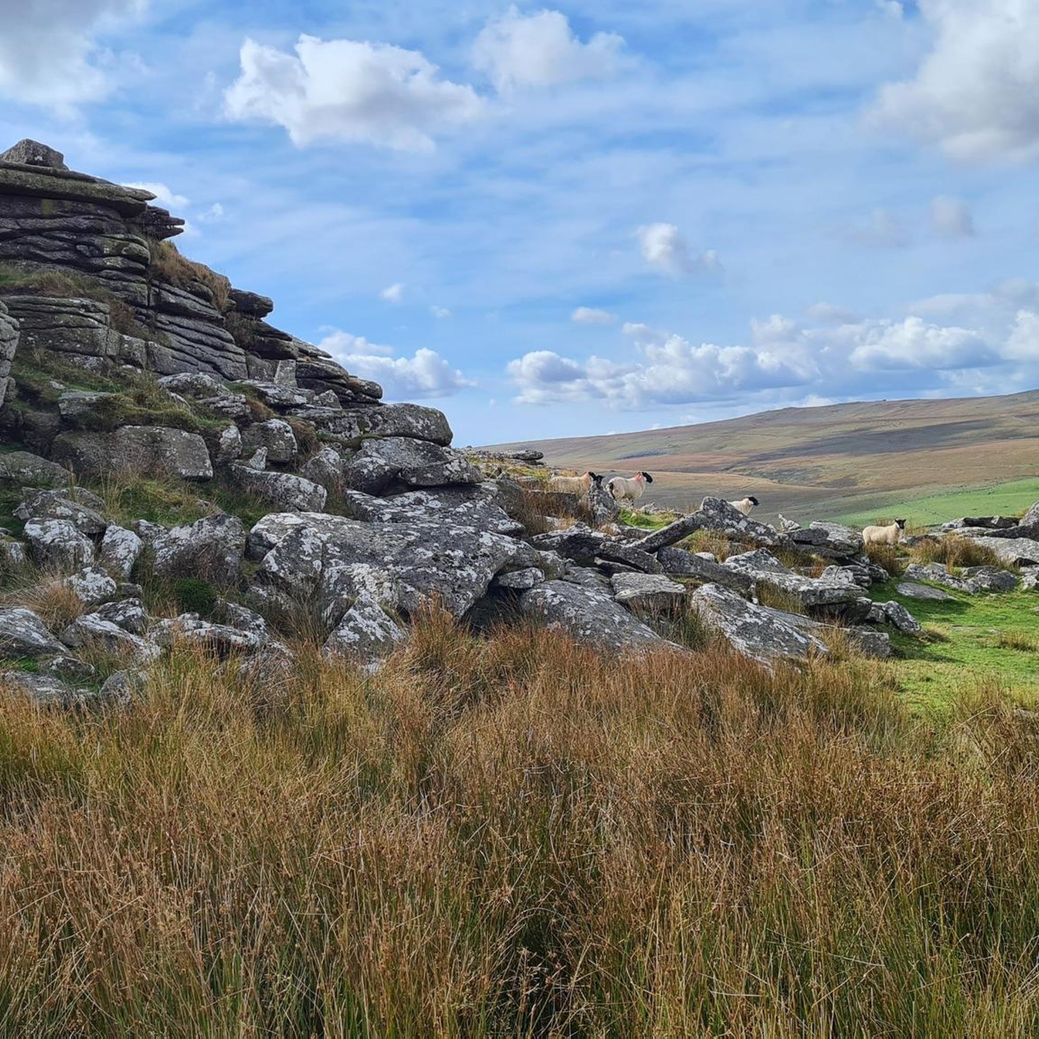
This majestic tor sits a short distance below the castellated peaks of Belstone Tor but retains its own character and is very distinct. Its huge granite mass, which from certain angles is block-like, is on the southern side of Belstone Common. The tor is a truly epic rock formation in its own right that is noted for its striking jointings, looking a little like tightly packed cubes that are accentuated by patches of moor grass. Indeed, Hemery (1983) describes it as a "splendid ruin of Nature" that "has a massive east face - resembling cyclopean masonry - and a huge break-away on both south and west sides." Collingwood (2017) later remarks that "Its bulk and pattern of jointing make it unforgettable." Higher Tor affords terrific views in all directions, even to the north where the fine southern outcrop of Belstone Tor stands in stark contrast as a smooth-faced pile. To the south, Oke Tor sits on the elongated ridgeline that extends towards Knack, but it is perhaps the grand Steeperton Hill, that is topped by Steeperton Tor, that is the most conspicuous landmark towering high above Taw Marsh. Whilst modern Ordnance Survey Maps place Higher Tor south of the ridge summit where Belstone Tor resides, that was not always the case. The survey of Devon, by Lieutenant Colonel William Mudge, in 1809, named the summit 'Higher Tor' as one might expect and placed Belstone where Higher is now. Whilst it makes sense that the highest point on the ridge would be named 'Higher Tor', later surveys were amended and this is now the accepted location. This alteration juxtaposes the widely accurate survey of Mudge and the reason for the movement of the two names remains to be seen. It is an anomaly that rarely, if ever, receives attention. The entire moorscape, capped by tremendous rockpiles as far as the eye can see, is well worth a visit, and the visitor will not be left disappointed by what he finds here, as it is one of the most captivating pieces of scenery on Dartmoor.
2
1
This is the distinctive yet small tor 150 metres to the south of Higher Tor on the Belstone Ridge. It is a heavily fissured outcrop with conspicuous, marked horizontal jointings that are so different from the nearby granite on high, and is in respect considered a separate tor in its own right. Eric Hemery (1983) describes the tor but, surprisingly, fails to give it a name, when describing the route from the Belstone parish boundstones to Higher Tor; "This picture also shows a rock outcrop on the rising ridge beyond the stones; equidistant from stones and distant tor, the rock consists of a cohesive mass of medium-grained granite with a pronounced canopy." Indeed, the small overhang is quite prominent especially from the east side where it provides a little shelter from prevailing winds coming from the north and west. The somewhat diminutive stature of the outcrop here in comparison to its neighbours has possibly leant it the name of 'Rock Tor', a name that appears on a map published
1
0
One of the legend says that the Nine Maidens are or were a group of maidens who danced on a Sunday and were immediately turned to stone. For their punishment they were compelled to dance every day at noon for the rest of eternity and it is said that to this day they can be seen rhythmically moving at midday. It is also suggested that the sound of the Belstone church bells will also bring them to life.
6
0
노스 타우튼 주변에서 가장 인기 있는 명소


더 살펴보기
노스 타우튼 주변의 최고의 동굴을 찾기 위해 이 가이드를 확인해보세요:
