20의 브램실가지 명소 & 주요 장소
브램실에는 둘러볼 만한 장소가 많답니다. 하이킹 또는 사이클링을 좋아한다면 브램실에 숨겨진 20
가지 보석을 만날 수 있을 거예요. 이 지역의 주요 명소를 살펴보면서 다음 모험을 계획해보세요.
마지막 업데이트: 9월 8, 2026

칼레바 아트레바툼 로마 도시 및 성벽
하이라이트 • 기념물
팁에 의해

이런 장소를 발견하려면 지금 가입하세요
최고의 싱글 트랙, 봉우리 및 다양한 흥미로운 야외 장소에 대한 추천을 받아보세요.
Coombes Lane
하이라이트 • 숲
팁에 의해


Beech Hill에서 Grazeley Road
하이라이트 (구간) • 트레일
팁에 의해

무료로 가입하여 브램실 주변의 더 많은 명소를 발견하세요.
이미 komoot 계정이 있나요?
오늘 무료 계정으로 시작하세요
다음 모험이 기다리고 있어요.
커뮤니티 팁

2026년 6월부로 Cross Lane와 Mortimer Road 사이의 도로가 자갈길로 포장되었습니다. 로드 바이크로는 갈 수 없습니다 :(
0
0

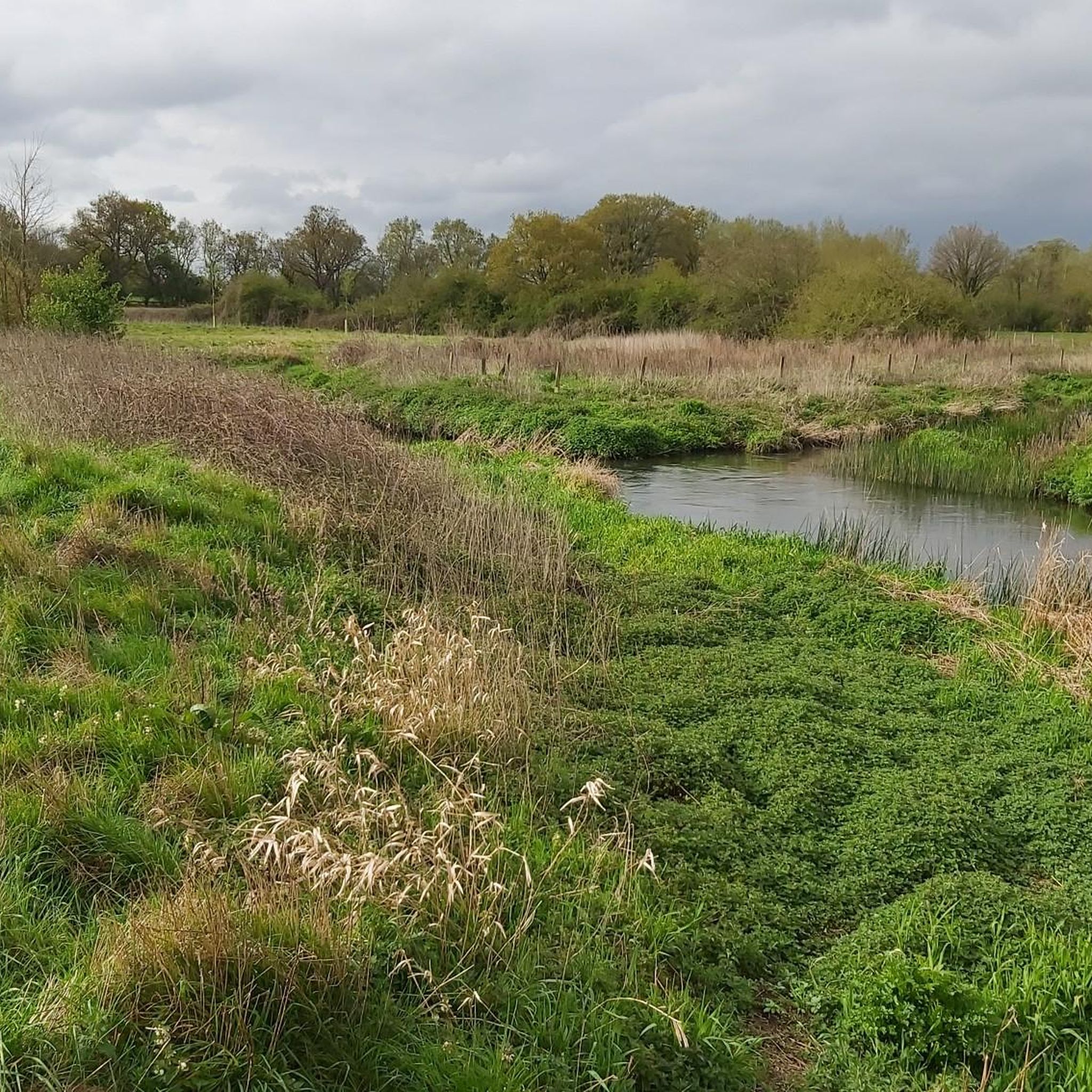
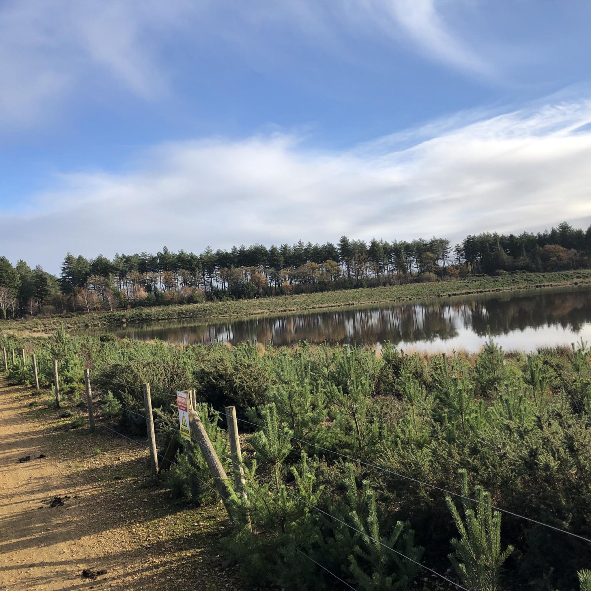
Approaching Coombes Lane from the east, the light begins to change. The shadows stretch too long, too early. The gravel beneath your wheels seems to hum—low, nearly imperceptible, like a pressure change behind your ears. Some say it’s just the trees. Others claim it’s a localized temporal anomaly, like brushing the edge of a vortex or slipping sideways through time. Either way, once you cross the threshold, things feel different. This junction once marked part of the old Bearwood estate. Before the event, “Bearwood” might’ve referred to ancient bear hunts across the land. Now it seems to describe the path itself—bare, worn, and faintly haunted by old instincts. Stripped-back gravel flows down the sandy track, smooth enough for fast two-wheel traversal—if you don’t stop moving. The lane runs tight along the perimeter of a forgotten golf course, its greens now gone to seed. Golf Men still roam there—solitary figures locked in endless loops, trailing white objects with ritualistic obsession. No one knows if they ever finish a round, but the low groans they emit suggest occasional joy, frequent regret, and a heavy air of bunked sadness. Keep your distance. Don’t try to help. And above all, don’t retrieve the ball. Reports of large wild cats once circulated here. Some say they’re still around—shadows with tails, low to the ground, seen only between blinks. Add that to the interference in your comms, occasional compass spin, and persistent sense of déjà vu, and Coombes Lane earns its reputation. A hidden bunker is rumored somewhere near the lane, though most agree it’s more likely the ghost of an ancient Roman outpost. Caesar’s Camp isn’t far off, and the landscape still holds the scars of older empires. Byways peel off into Barkham Woods, a tangled sprawl of secondary paths, watchpoints, and blind corners. Good for exploration. Also good for ambushes. Z movement has been mapped here. Canine patrols, too—some with collars, some without. Assume neither is friendly. This trail was once favored by the Finchmen—a band of gravel-bike scavengers known for their speed, discipline, and strict adherence to the old countryside code. You’d do well to ride in their spirit: leave no trace, close all gates, pack out your trash, and never—ever—feed the Golf Men. If you’re looking for quiet exploration with a side of strangeness and the feeling that time might not run quite right here… Coombes Lane delivers.
0
0

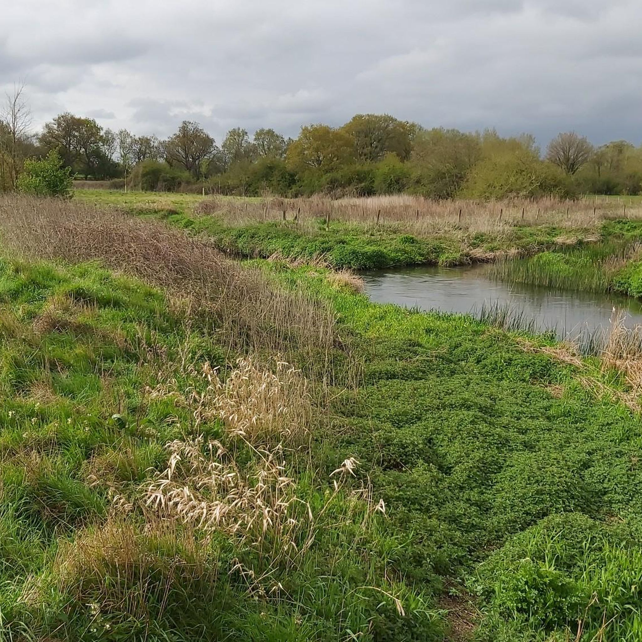
Accessed via the towpath on the Basingstoke Canal, which makes for a pleasant walk, if sometimes a little busy, Odiham Castle is interesting to walk around. The towpath can get a little muddy!
0
0

Calleva originated during the Iron Age and became the centre of the kingfom of the Atrebates. After Roman invasion in 43AD, the town was enlarged. It thrived throughout Roman rule, but, upon their departure, the town was slowly abandoned. Today, the site is managed by English Heritage. You can visit the crumbling Roman walls and amphitheatre. Entrance is free.
0
0
The roads surrounding the old Roman city of Calleva Atrebatum are all pleasant to ride. Some narrow and a little 'messy' but all passable on a road bike. Very little traffic, but be aware of cars on Church Lane - the road is wide enough for one car but not much more!
0
0


One of King John's three castles, this spectacular ruin sits on the edge of the Basingstoke Canal around halfway between Windsor and Winchester castles. Odiham Castle was built at the very beginning of the 13th century and was possibly where the king rode out from to sign the Magna Carta at Runnymede. Extended during the later 13th century, over the next 200 years it was sometimes used as a prison. King David II of Scotland was incarcerated here for over a decade although was allowed to keep a household, so it was possibly quite a pleasant stay. Used as a hunting lodge in the 15th century and ruined by 1600, the castle has a significant history. Today, you can visit for free.
0
0

Have only ever looked at the wall as I go past, will stop at some point.
0
0
브램실 주변에서 가장 인기 있는 명소


더 살펴보기
찾고 있는 하이라이트를 아직 못 찾으셨나요? 다른 지역의 주요 명소 가이드를 확인해보세요:
