그슈니츠 최고의 등산 경로
4.9
(73)
578
등산객
15
하이킹
그슈니츠에서 하이킹하며 위프탈 구석 부분까지 살펴볼까요? 그슈니츠에 있는 모든 하이킹 및 워킹 경로 컬렉션 중 가장 멋진 하이킹 경로를 엄선하여 소개해드릴게요. 다른 하이커가 공유한 실제 팁과 사진을 살펴보고 후기를 읽으며 마음에 드는 그슈니츠 워킹 경로를 찾아보세요.
마지막 업데이트: 10월 11, 2026
4.9
(13)
106
등산객
5.20km
04:51
850m
850m
어려운 등산 코스. 좋은 체력 필요. 튼튼한 신발을 신고 미끄러지지 않게 조심해야 하며, 높은 산을 오른 경험이 있어야 함.
4.8
(17)
104
등산객
13.9km
10:27
1,910m
1,910m
어려운 등산 코스. 우수한 체력 필요. 튼튼한 신발을 신고 미끄러지지 않게 조심해야 하며, 높은 산을 오른 경험이 있어야 함.

4.9
(14)
114
등산객
4.89km
02:25
370m
370m
어려운 등산 코스. 좋은 체력 필요. 튼튼한 신발을 신고 미끄러지지 않게 조심해야 하며, 높은 산을 오른 경험이 있어야 함.
4.5
(2)
38
등산객
12.0km
06:31
1,080m
1,080m
어려운 등산 코스. 우수한 체력 필요. 튼튼한 신발을 신고 미끄러지지 않게 조심해야 하며, 높은 산을 오른 경험이 있어야 함.
5.0
(2)
15
등산객
5.45km
03:07
410m
410m
어려운 등산 코스. 좋은 체력 필요. 튼튼한 신발을 신고 미끄러지지 않게 조심해야 하며, 높은 산을 오른 경험이 있어야 함.
더 다양한 경로와 다른 탐험가들의 추천을 살펴보세요.
이미 komoot 계정이 있나요?
투어 추천은 다른 사람들이 komoot에서 완료한 수천 개의 활동을 바탕으로 구성되어 있습니다.
오늘 무료 계정으로 시작하세요
다음 모험이 기다리고 있어요.
그슈니츠 주변 인기 장소
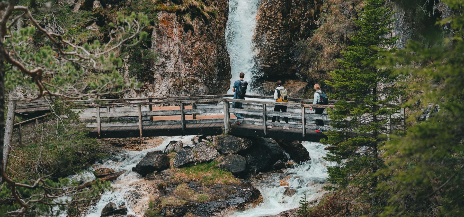
Idyllic mountain lakes and rushing waterfalls – hiking in the Wipptal
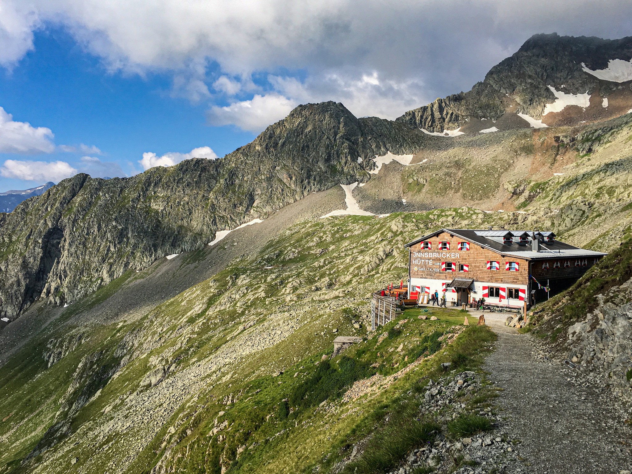
Gschnitztal Hüttenstern – 6 glorious day hikes to mountain huts
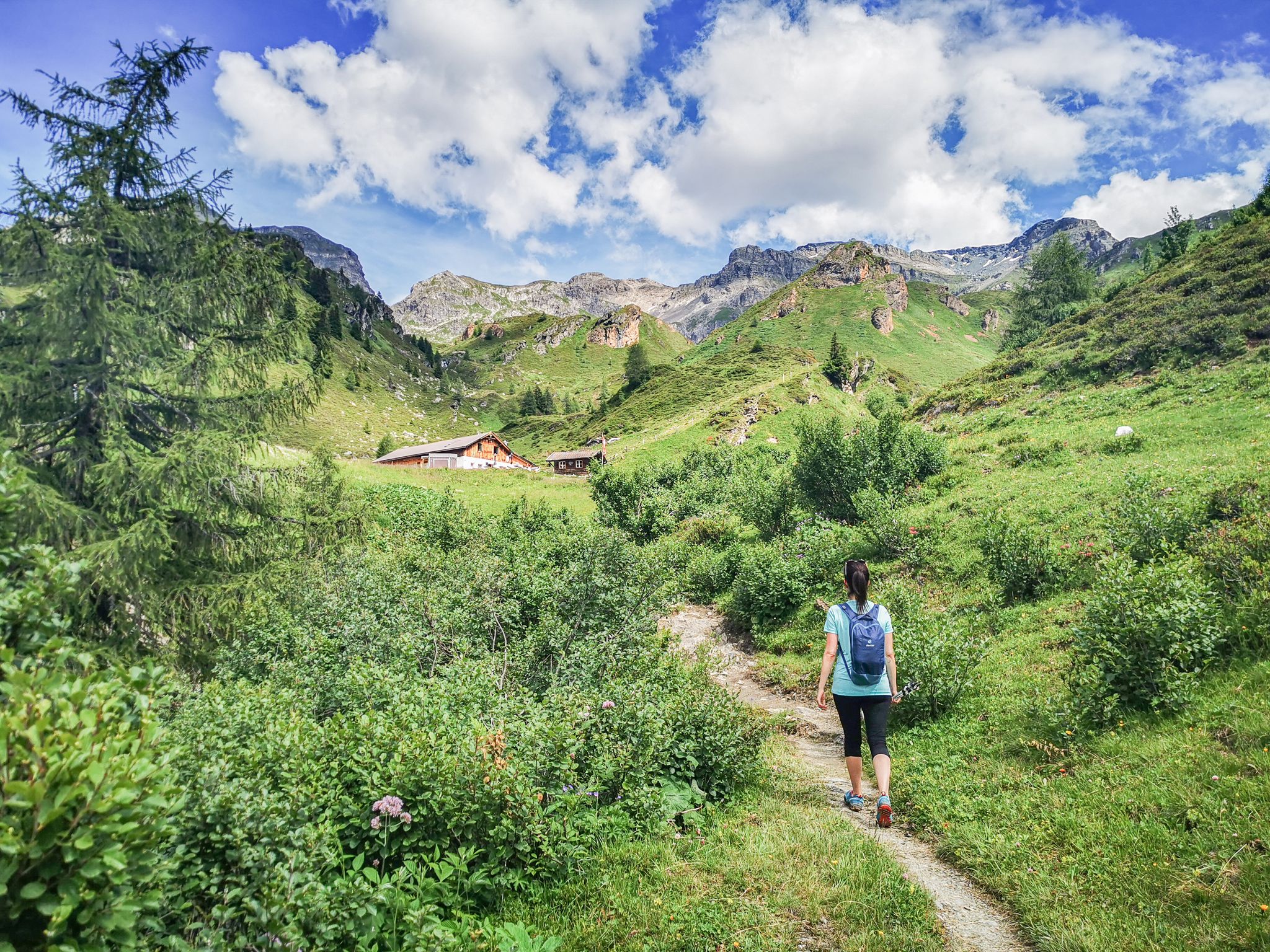
5 culinary alpine and hut hikes in Austria's Wipptal
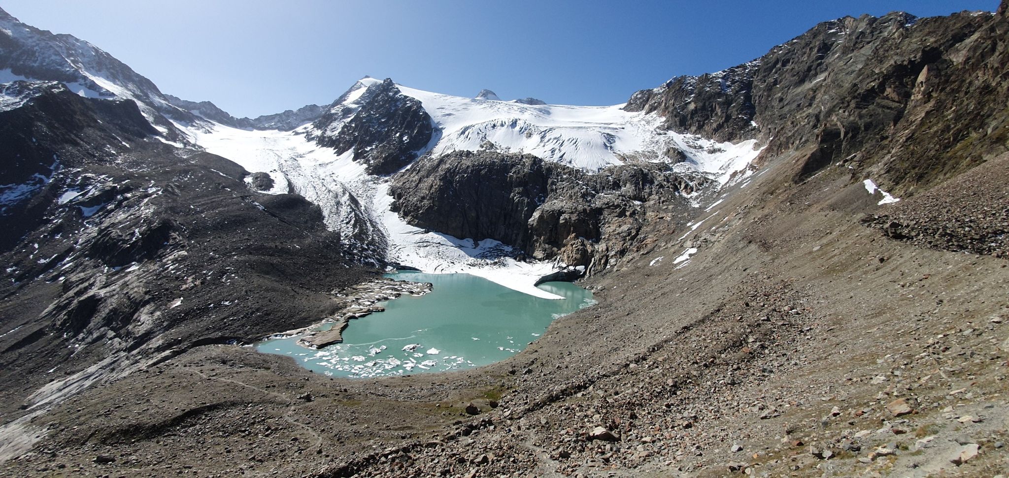
스투바이어 알프스 통과 - 모험의 10일
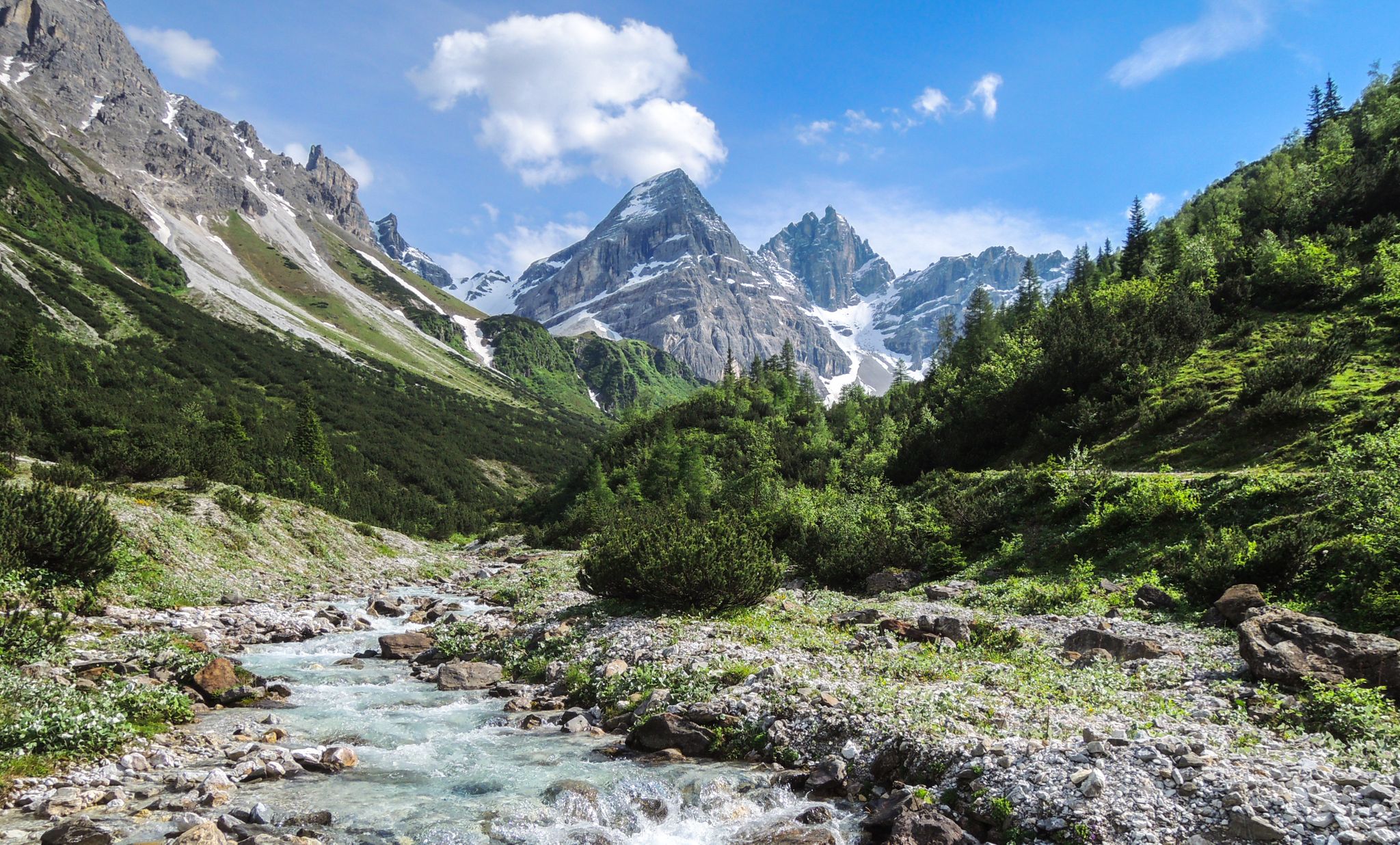
A journey of discovery in Tyrol – hidden places in the Wipptal Valley
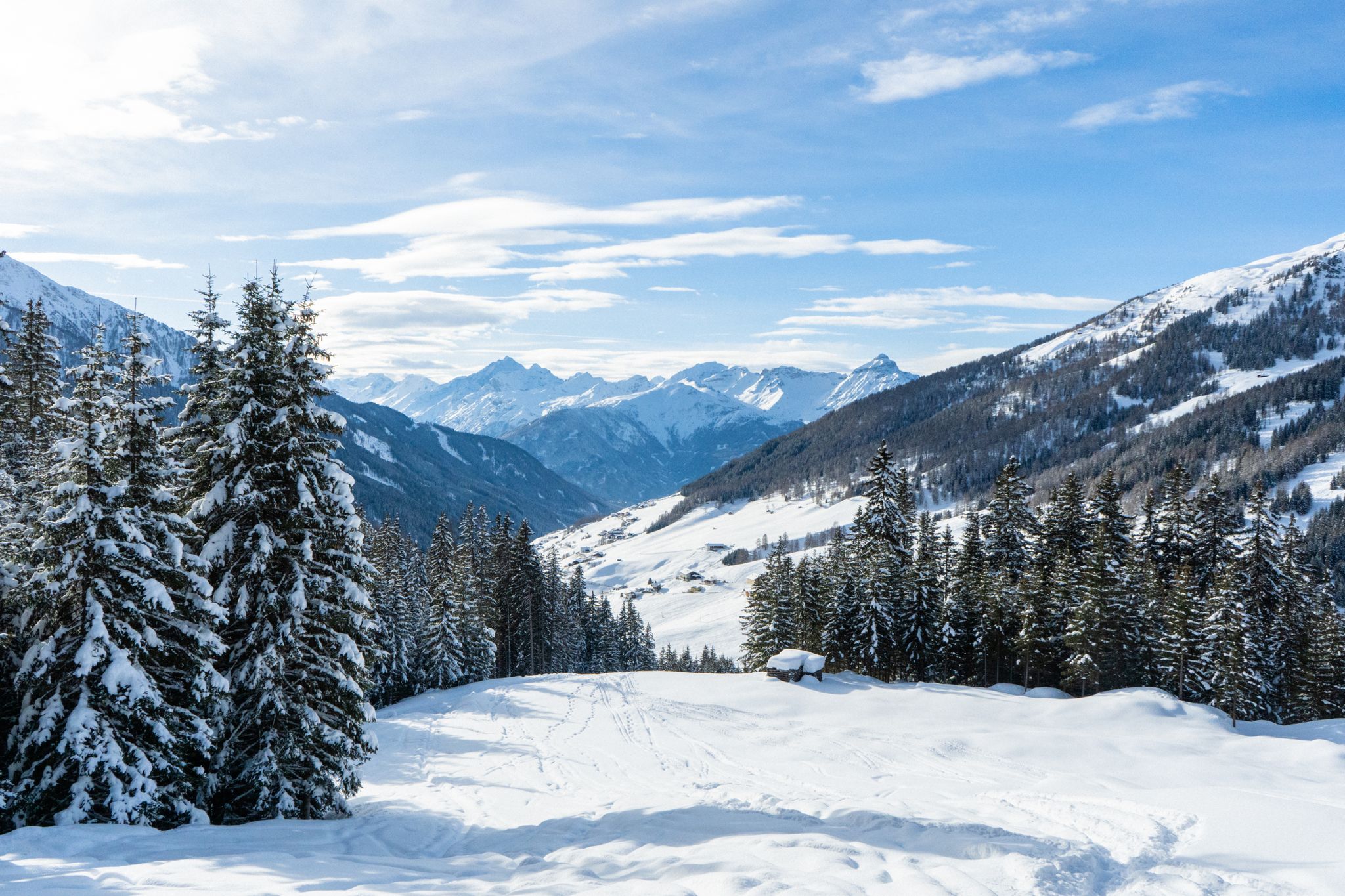
Your winter in Austria’s Wipptal Valley: 10 tips for adventuring in the snow
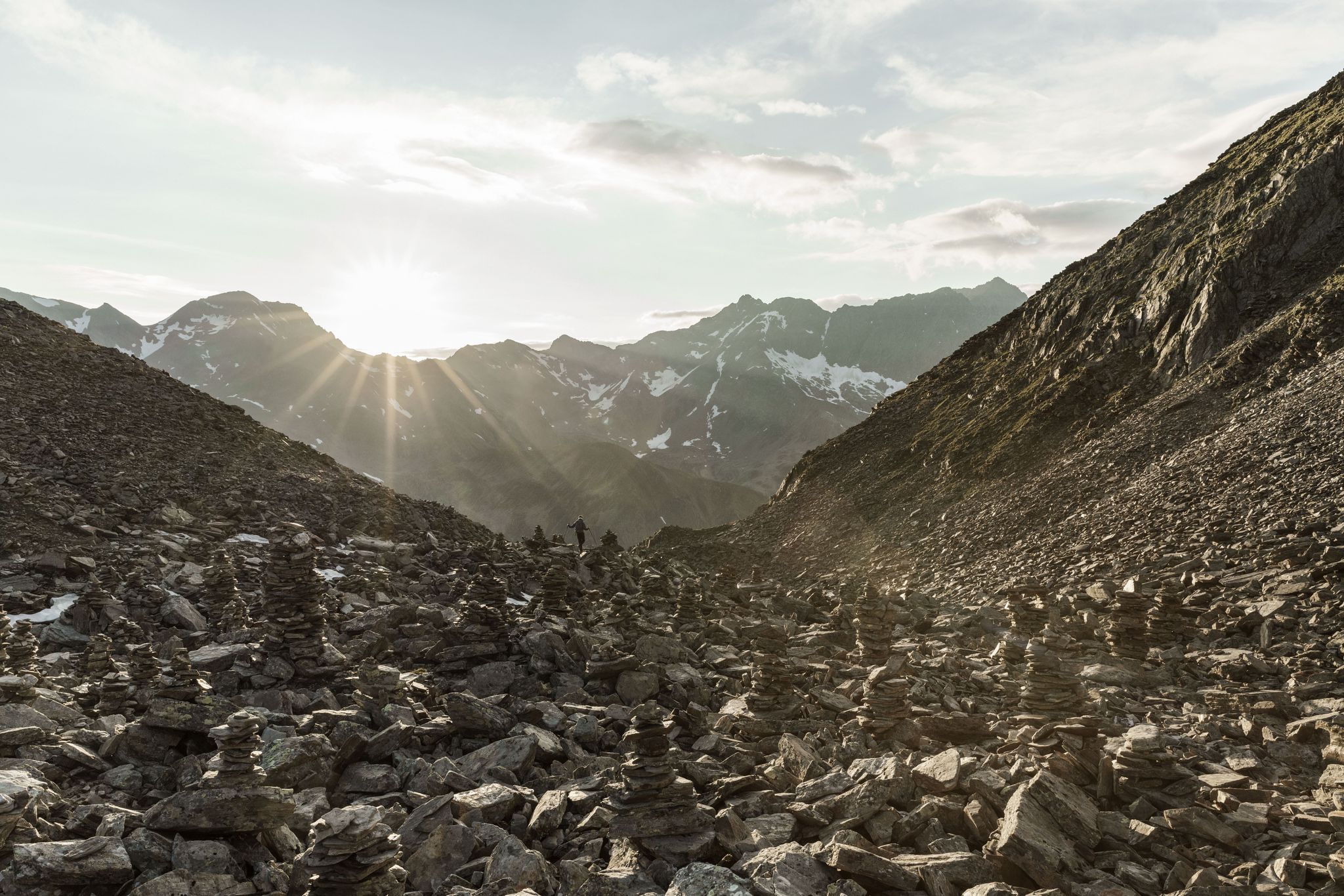
스투바이 하이 트레일의 알파인 공기 — 그레이트 워크
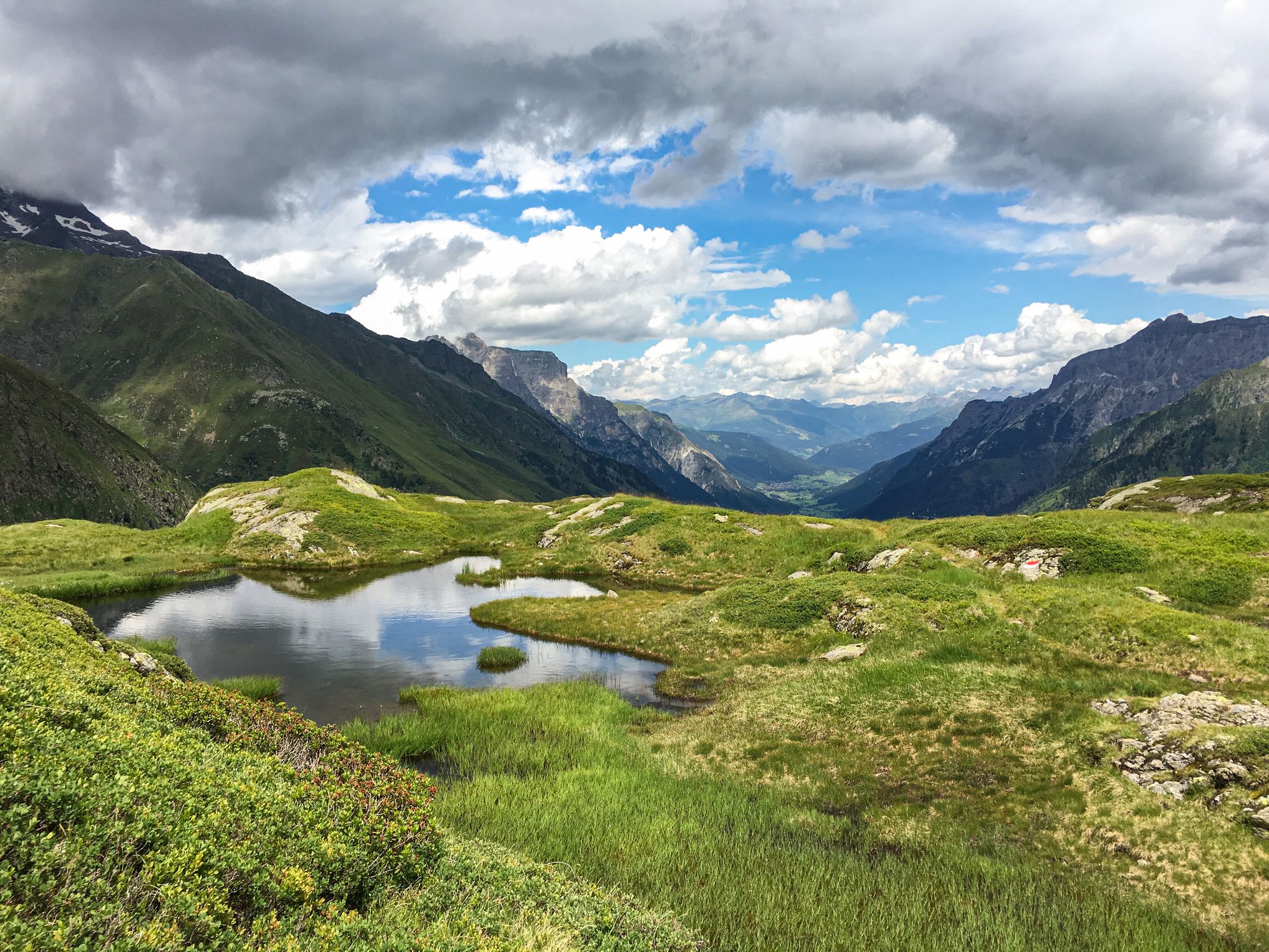
Lonely lakes and thundering waterfalls – magical places in the Wipp Valley
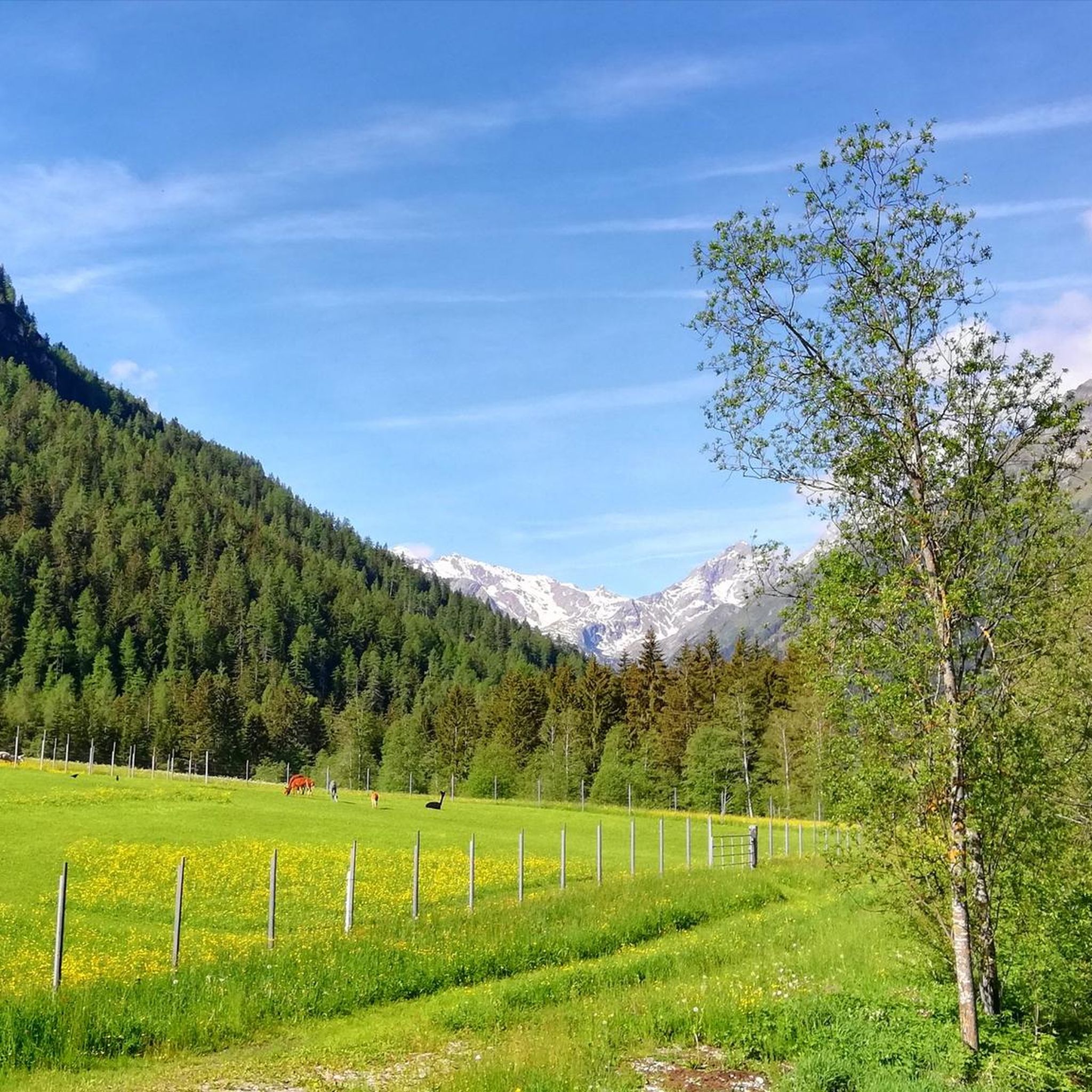
그슈니츠 하이킹
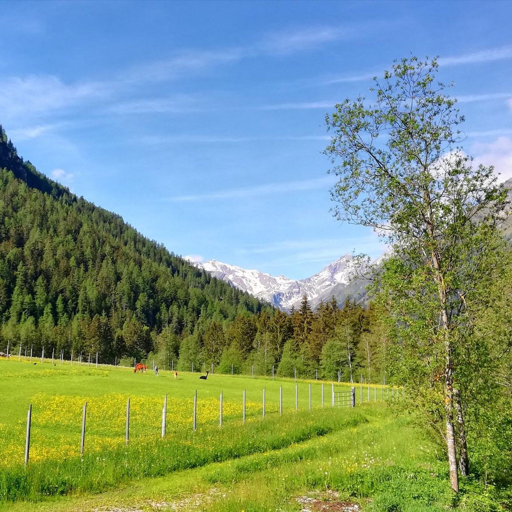
그슈니츠 사이클링
그슈니츠 주변의 다른 모험


커뮤니티 팁


The path from the valley to the Innsbrucker Hut, which leads past this bench, is very demanding! The descent is particularly challenging.
0
0

Shortly before the final climb to Habicht, this simple, stone-built rest stop offers shelter from the wind and space for a well-deserved break. Surrounded by rugged rock and breathtaking views of the Stubai and Zillertal Alps, this is a place to recharge your batteries – a quiet, impressive spot at over 3,000 meters, where nature and humanity join hands for a moment.
0
0
The path to the summit of the Habicht is not only scenically impressive, but also dotted with small signs of human presence: so-called Stoanmandln (stone men). These artfully stacked piles of stones not only serve as orientation in the barren high mountains, but also exude a special, almost meditative calm. On the rocky plateau below the summit, they create a quiet, archaic atmosphere – a moment of connection between nature, people, and the mountain.
0
0
The Habicht is one of the highest and most distinctive peaks in the Stubai Alps. The ascent usually starts from the Innsbrucker Hut (2,369 m) along the well-marked south ridge. While the trail requires surefootedness and a head for heights, technical climbing skills are not necessary – ideal for experienced hikers. From the summit, an impressive 360° panorama opens up: to the south, the Dolomites and the glaciers of the Central Alps, to the west, the Ötztal Alps, and to the east, the Zillertal Alps. To the north, the view sweeps across the Inn Valley to the Nordkette and deep into the wild Karwendel range – a worthwhile vantage point for anyone who wants to reach high.
1
0

Beautiful, not too difficult evening tour from the Innsbrucker Hut (approx. 45 minutes each way).
0
0

The Santa Madgalena via ferrata is rated C, although a more difficult E variant is also available. The safety is very good, and the ascent is 270 meters. A scenic treat awaits you on this via ferrata, with a vertical middle section and a pretty mountain chapel at the end. The return route leads back to the valley via a hiking trail. However, you should avoid the via ferrata in wet conditions. Before you start climbing, you can try out various via ferrata difficulties from A to E at the start in the Alpine Safety Area.
2
0


더 살펴보기
다른 지역의 최고의 산악 하이킹 & 경로를 살펴보세요.
