딥퍼드 최고의 사이클링 경로
4.3
(128)
1,578
자전거 타는 사람
226
라이딩
투어링 사이클링은 데본의 사우스 햄스 지역에 위치한 Diptford 주변에서 즐길 수 있으며, 구불구불한 언덕과 조용한 시골길이 특징인 농촌 풍경을 자랑합니다. 이 지역에는 삼림 지대, 탁 트인 들판, 에이번 강(River Avon)의 전망이 있습니다. 이곳은 사우스 데본 지역의 뛰어난 자연 경관(South Devon Area of Outstanding Natural Beauty) 내에 있어 사이클리스트에게 다양한 풍경을 제공합니다.
Diptford 주변 최고의 투어링 사이클링 코스
- 가장 인기 있는 투어링 사이클링 코스는 St Peter's Church, Ugborough – The Station House loop from North Huish로, 22.4마일(36.1km) 길이이며 완료하는 데…
마지막 업데이트: 9월 16, 2026
3.0
(2)
12
자전거 타는 사람
35.6km
02:18
470m
470m
어려운 자전거 타기. 우수한 체력 필요. 대부분 포장된 지면. 실력과 관계없이 누구나 갈 수 있음.
3
자전거 타는 사람
29.2km
01:56
400m
400m
보통 자전거 타기. 좋은 체력 필요. 대부분 포장된 지면. 실력과 관계없이 누구나 갈 수 있음.

4
자전거 타는 사람
21.3km
01:30
370m
370m
보통 자전거 타기. 좋은 체력 필요. 대부분 포장된 지면. 실력과 관계없이 누구나 갈 수 있음.
3.0
(1)
5
자전거 타는 사람
37.0km
02:31
570m
570m
어려운 자전거 타기. 우수한 체력 필요. 대부분 포장된 지면. 실력과 관계없이 누구나 갈 수 있음.
3
자전거 타는 사람
11.7km
00:48
190m
190m
보통 자전거 타기. 좋은 체력 필요. 대부분 포장된 지면. 실력과 관계없이 누구나 갈 수 있음.
더 다양한 경로와 다른 탐험가들의 추천을 살펴보세요.
이미 komoot 계정이 있나요?
투어 추천은 다른 사람들이 komoot에서 완료한 수천 개의 활동을 바탕으로 구성되어 있습니다.
오늘 무료 계정으로 시작하세요
다음 모험이 기다리고 있어요.
딥퍼드 주변 인기 장소
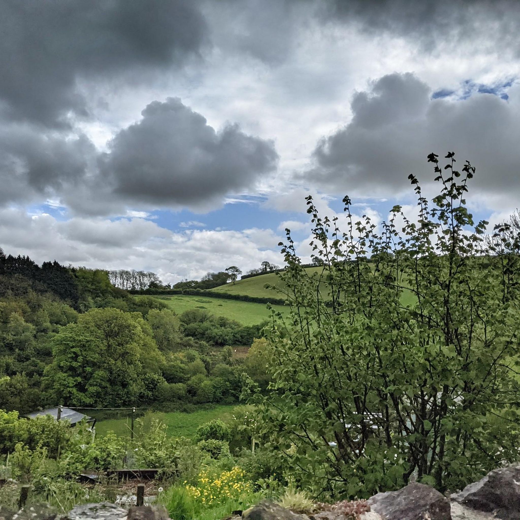
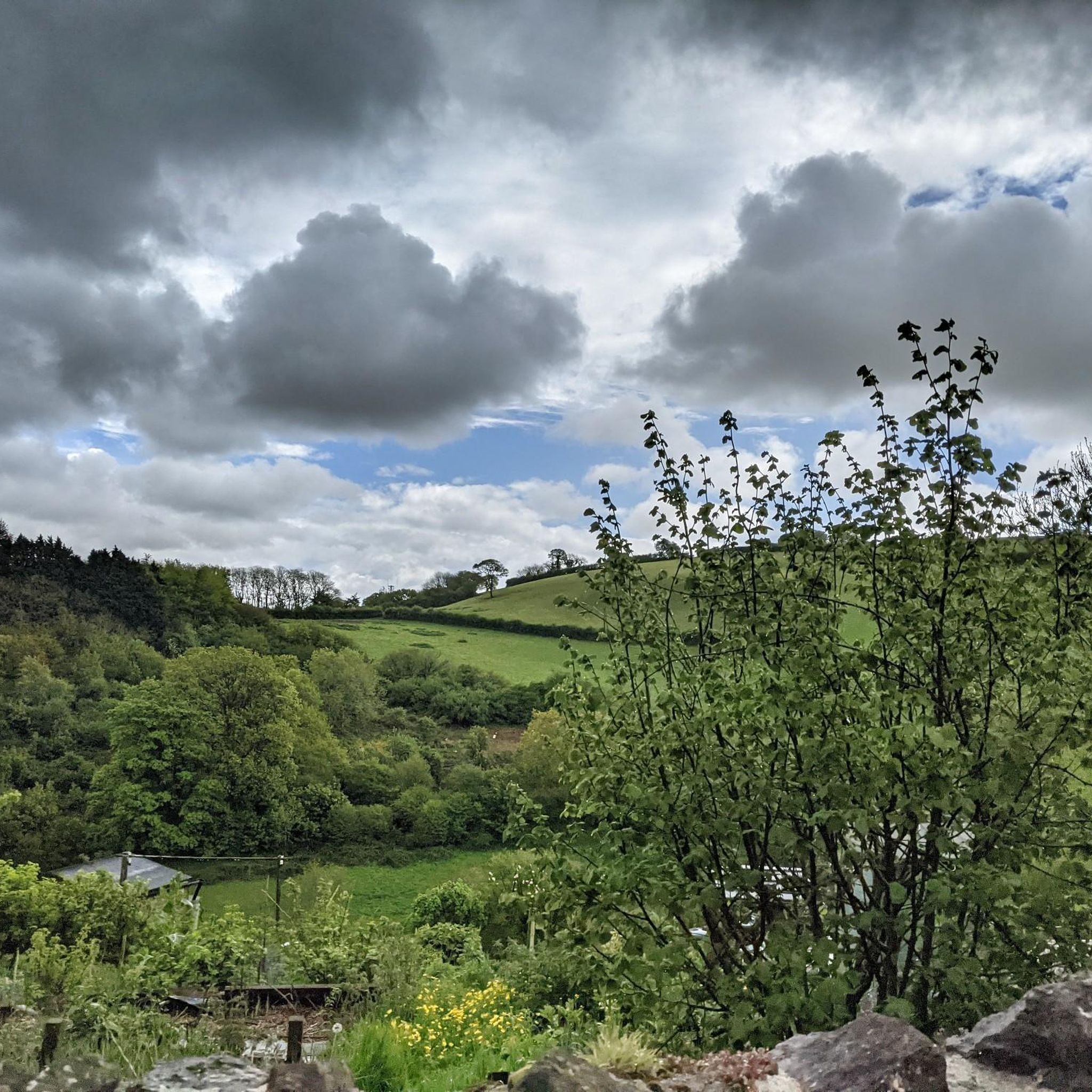
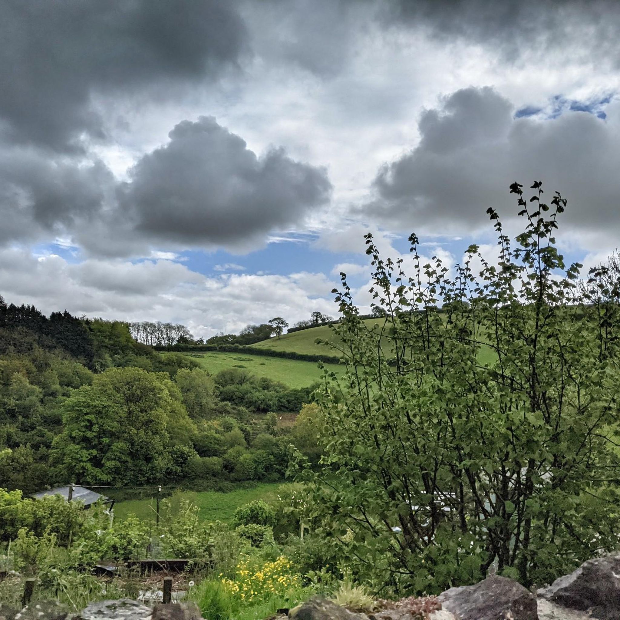
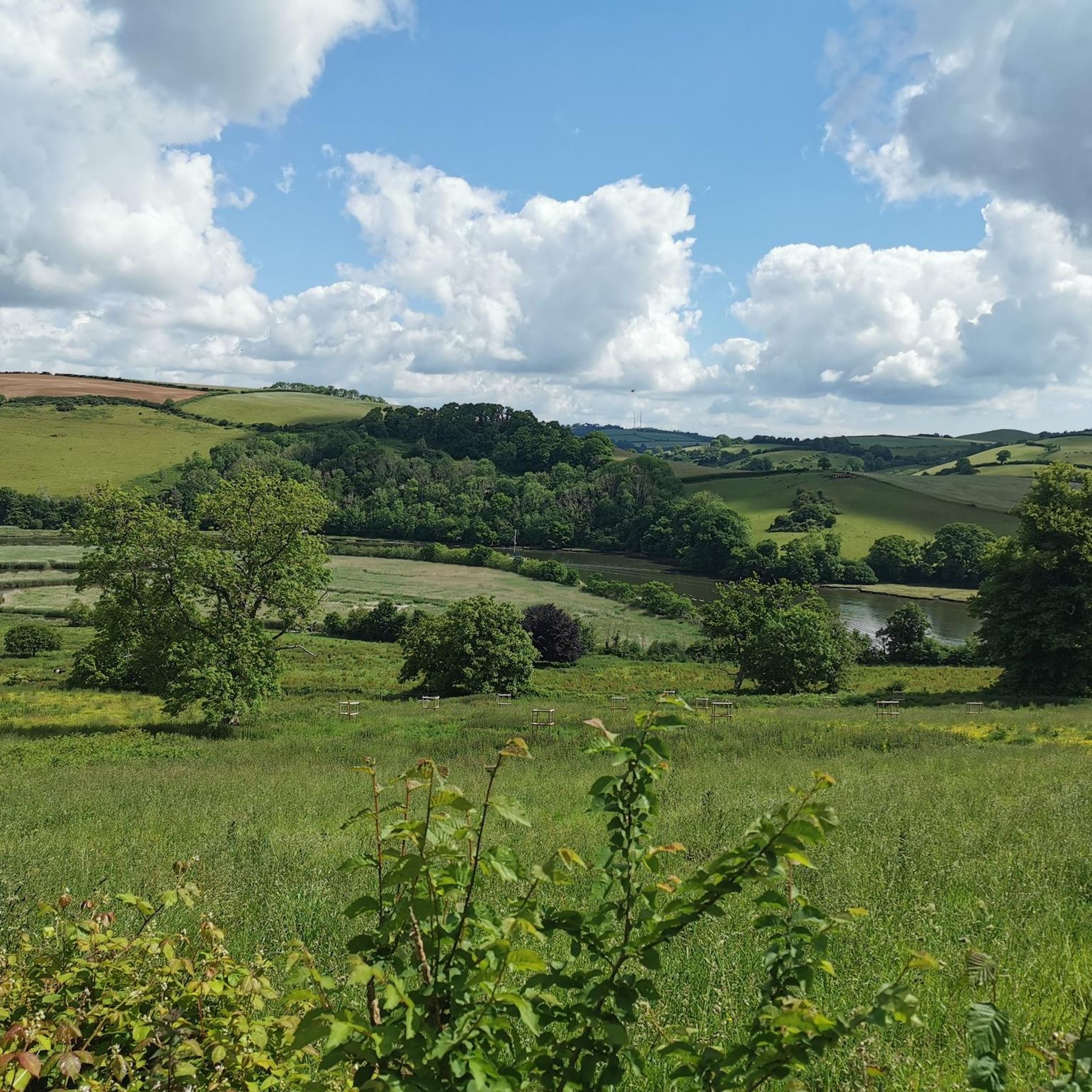
커뮤니티 팁

luckily there's a footbridge too for those who don't want to get their feet or electric motor wet.
0
0

Gorgeous elevated country lane with fabulous views over the countryside surrounding Totnes.
2
0

Good coffee, friendly staff and good outdoor seating - popular with cyclists passing through Totnes
1
0
The earliest record of Diptford, mentioned as Bickham, appears in a Charter by King Aethelwulf in AD 847. By 962 AD, it was known as "Beoccan bricge" in King Edgar's charter. Diptford appears in the Domesday Book of 1086 as a small settlement, giving its name to the "Hundred of Diptford," an administrative area in Devon. The village's name derives from the 'deep ford' on the River Avon. A church was built in 1226, expanded in the 15th century. Diptford's school opened in 1845 and became an academy in 2016. Despite limited expansion, Diptford remains a busy and popular village.
0
0
The monument includes a free-standing stone cross situated in the angle of the junction of two roads; to Luscombe and Harberton. It stands on partly grassed open ground, probably in its original position and may date from the 15th century. The cross is Listed Grade II. The cross comprises a heavy octagonal base of granite, surmounted by a granite shaft whose upper half was replaced in 1895. The base, which is 0.75m high, is partly buried in the turf which is raised here in a low mound. It measures 1.13m across its flat sides, and has a heavily chamfered upper part, below a rough roll moulding. Above this, the top is slightly convex with the shaft socketed in and set with lead. The shaft, of rectangular section, has oblique chamfers on all four corners, with pyramid stops to the base. The medieval shaft survives to 0.85m high and tapers in width from 0.27m at the base to 0.32m at its top and in thickness from 0.26m to 0.23m. Heavy directional letters have been dressed onto all four flat sides: T - Totnes (north side), D - Dartmouth (east), K - Kingsbridge (south), and B - Brent (west). Beneath these some smaller letters, probably initials, are crudely incised. In 1895, a new upper shaft and Celtic wheel head, 1.2m higher than the original cross, was added with additional Roman numerals for the distances involved. These do not match up, and it is obvious that the cross head was put on the wrong way round. The original head could have been lost during the Reformation in the 16th century. The letters are typical of granite direction posts of the 17th century in this area. The modern road surface is excluded from the scheduling where it falls within the 2m protective margin of the cross, although the ground beneath it is included.
0
0

딥퍼드 주변에서 가장 인기 있는 경로
딥퍼드 주변에서 가장 인기 있는 명소


더 살펴보기
다른 지역의 최고의 자전거 경로를 살펴보세요.
