로르 임 게비르게 최고의 러닝 경로
4.7
(13)
260
달리기 하는 사람
44
러닝
로르 임 게비르게에서 하이킹하며 위너 노이슈타트 구석 부분까지 살펴볼까요? 로르 임 게비르게에 있는 모든 하이킹 및 워킹 경로 컬렉션 중 가장 멋진 하이킹 경로를 엄선하여 소개해드릴게요. 다른 하이커가 공유한 실제 팁과 사진을 살펴보고 후기를 읽으며 마음에 드는 로르 임 게비르게 워킹 경로를 찾아보세요.
마지막 업데이트: 10월 5, 2026
20
달리기 하는 사람
11.9km
01:51
710m
720m
어려운 조깅. 우수한 체력 필요. 대부분 포장된 지면. 실력과 관계없이 누구나 갈 수 있음.
5
달리기 하는 사람
어려운 조깅. 우수한 체력 필요. 대부분 포장된 지면. 실력과 관계없이 누구나 갈 수 있음.

12
달리기 하는 사람
21.7km
02:18
260m
260m
어려운 조깅. 우수한 체력 필요. 대부분 포장된 지면. 실력과 관계없이 누구나 갈 수 있음.
6
달리기 하는 사람
8.65km
00:55
100m
100m
보통 조깅. 좋은 체력 필요. 대부분 포장된 지면. 실력과 관계없이 누구나 갈 수 있음.
9
달리기 하는 사람
12.2km
01:32
550m
550m
어려운 조깅. 우수한 체력 필요. 대부분 포장된 지면. 실력과 관계없이 누구나 갈 수 있음.
더 다양한 경로와 다른 탐험가들의 추천을 살펴보세요.
이미 komoot 계정이 있나요?
투어 추천은 다른 사람들이 komoot에서 완료한 수천 개의 활동을 바탕으로 구성되어 있습니다.
오늘 무료 계정으로 시작하세요
다음 모험이 기다리고 있어요.
로르 임 게비르게 주변의 다른 모험

커뮤니티 팁

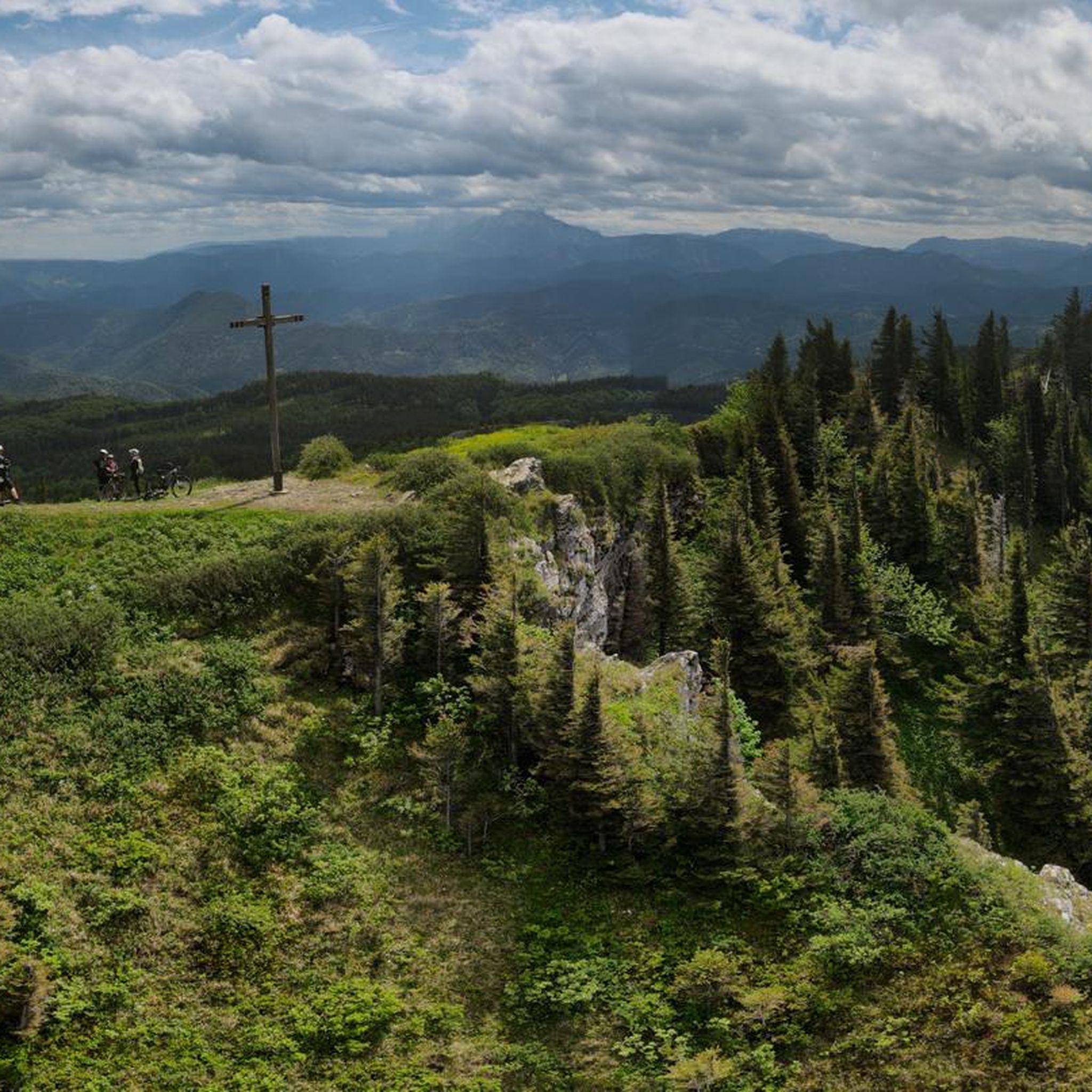
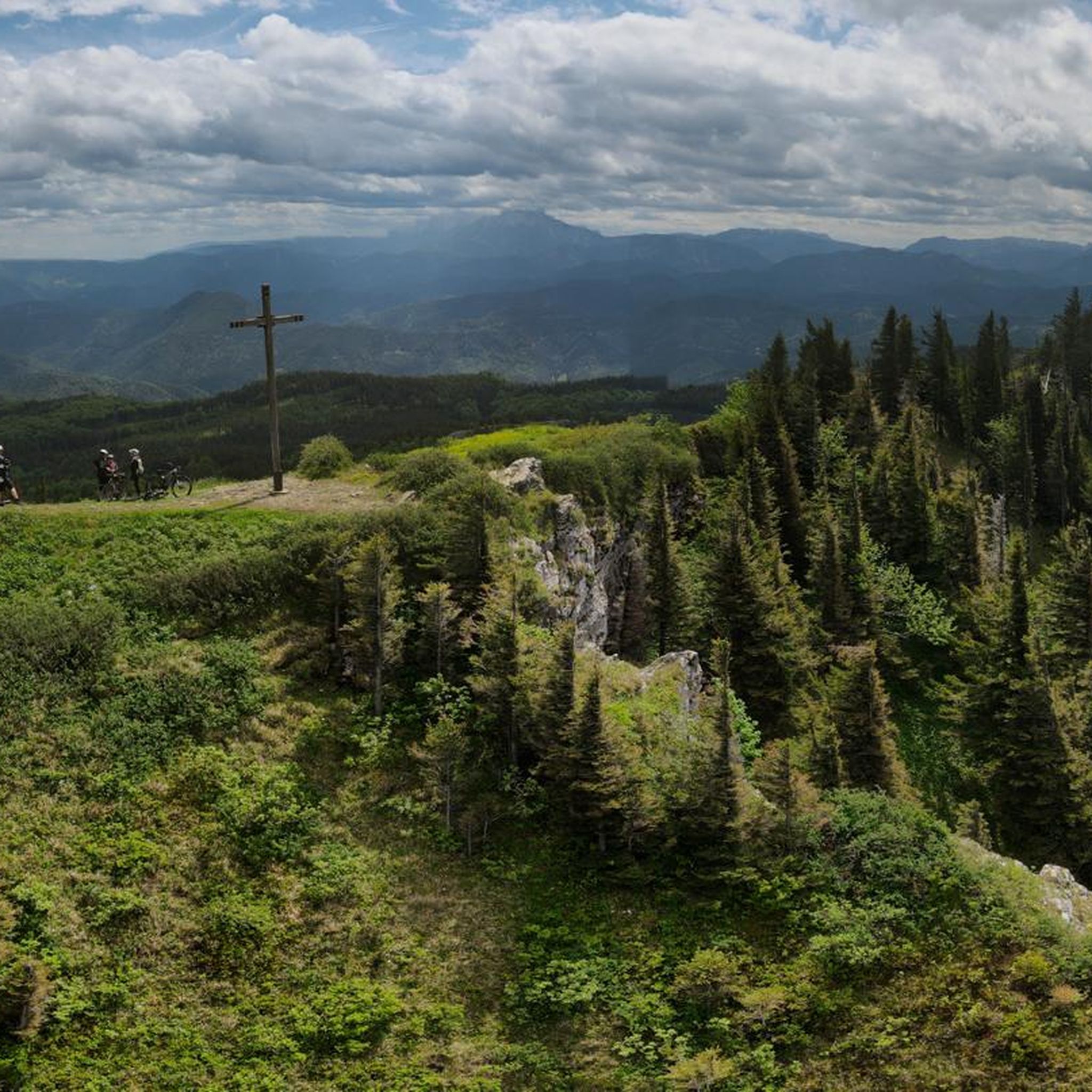
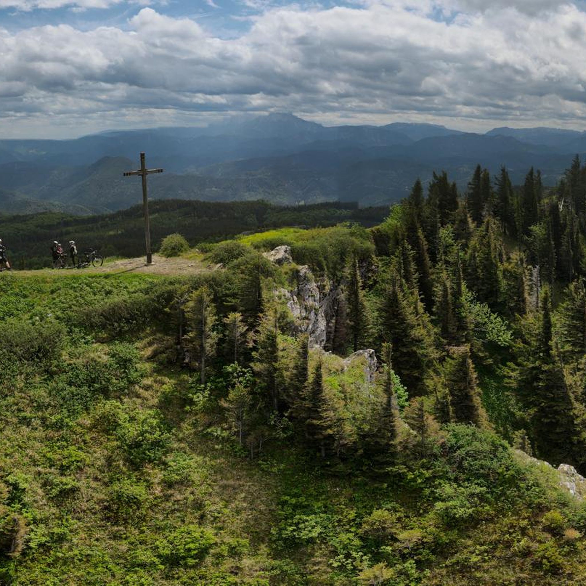
정상 십자가(1338m)는 산의 최고점 북쪽 약 95m 지점에 있으며, 그곳에는 산악 역(Gipfellift 1+2)이 세워져 있습니다. 정상 십자가에서 송신탑으로 가는 길에는 바위로 바람을 막은 곳에 나무 벤치가 있습니다. 이곳에서는 슈네베르크(Schneeberg)와 외처(Ötscher) 방향으로 멋진 전망이 펼쳐집니다. 근처의 운터베르그하우스(Unterberghaus)에서 아늑한 휴식을 즐길 수 있습니다.
1
0

커른호퍼 그샤이트(Kernhofer Gscheid)로 가는 아름다운 자전거 도로
0
0

해발 1,190m에 위치한 Unterberg-Schutzhaus는 Gutensteiner Alpen의 가장 높은 산봉우리 아래에 있습니다. 아늑한 응접실과 테라스에서 맛있는 식사와 음료를 즐길 수 있습니다.
6
0
The Bettelmannkreuz wayside cross has a moving history. It lies in a valley between Kieneck and Unterberg.
6
1

If it's open, worth a stop - we were there at 6:00
1
0

Beautiful bike path, suitable for everyone
3
0

The Kirchwaldberg is a mountain in the Gutenstein Alps in southern Lower Austria. It is 1067 m high and offers a beautiful view of the surrounding landscape, especially the Schneeberg and the Unterberg. It is a popular hiking destination and can be climbed from different sides. The Kirchwaldberg lies on the ridge that connects the Kieneck in the northeast with the Unterberg in the southwest. It is a striking, rocky peak structure that is well camouflaged by the forest cover. It has a small summit cross that commemorates the deceased mountain rescuers.
5
0
The Bettelmannkreuz is a wayside cross in the Ramsental in the Gutenstein Alps in Lower Austria. It is a popular starting point for hikes and ski tours to the Unterberg, the highest peak in the Gutenstein Alps. The Unterberg is 1342 m high and offers beautiful views of the surrounding landscape. There are different ways to get from Bettelmannkreuz to Unterberg. An easy ski tour leads over gently sloping slopes to Kieneck (1105 m) and then continues along the ridge to Unterberg. The descent takes place via the ski slope or through the Wallerbachgraben. The total walking time is approximately 3 hours. Another variant is a hike over the ridge, which initially leads through the Radersbachgraben and then over the Blauboden and the Kirchwaldberg to the Unterberg refuge and the Maria Einsiedl chapel. The hike is very scenic and takes about 4 to 5 hours.
6
0
로르 임 게비르게 주변에서 가장 인기 있는 명소


더 살펴보기
다른 지역의 최고의 러닝 트레일 & 경로를 살펴보세요.
