험한에서 가장 멋진 8개의 산 정상
험한의 산 정상에 오르면 이 지역의 아름다운 모습을 제대로 구경할 수 있어요. 다만, 8
곳이나 되는 산 정상 중에서 어떤 곳을 가야 할 지 고민된다는 게 문제죠. 험한에서 가장 멋진 산 정상을 살펴본 후에 마음에 드는 산 정상을 다음 모험 계획에 추가해보세요.
마지막 업데이트: 10월 18, 2026


이런 장소를 발견하려면 지금 가입하세요
최고의 싱글 트랙, 봉우리 및 다양한 흥미로운 야외 장소에 대한 추천을 받아보세요.
올드 윈체스터 힐 철기시대 요새
하이라이트 • 역사적 장소
팁에 의해
토베리 힐 철기시대 언덕 요새
하이라이트 • 역사적 장소
팁에 의해


오늘 무료 계정으로 시작하세요
다음 모험이 기다리고 있어요.
커뮤니티 팁

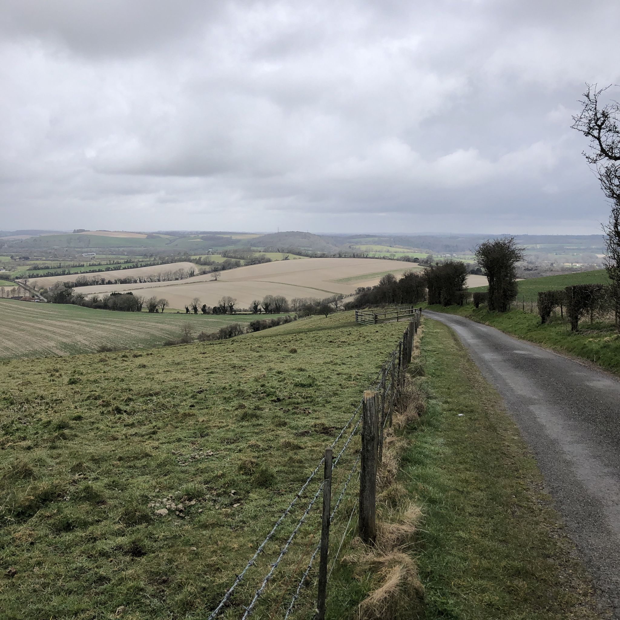
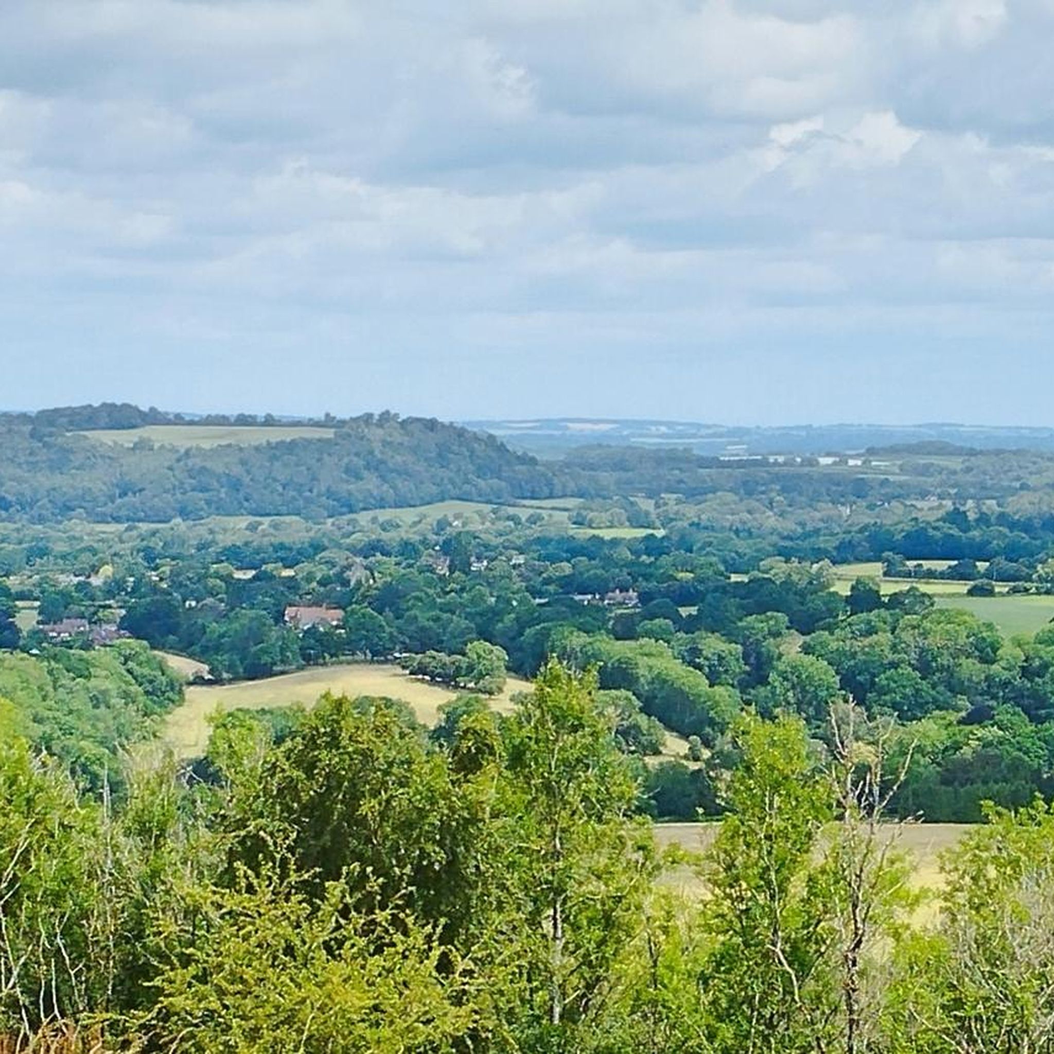
이 언덕 요새에서 아이슬 오브 와이트까지 멋진 전망을 감상할 수 있습니다.
0
0

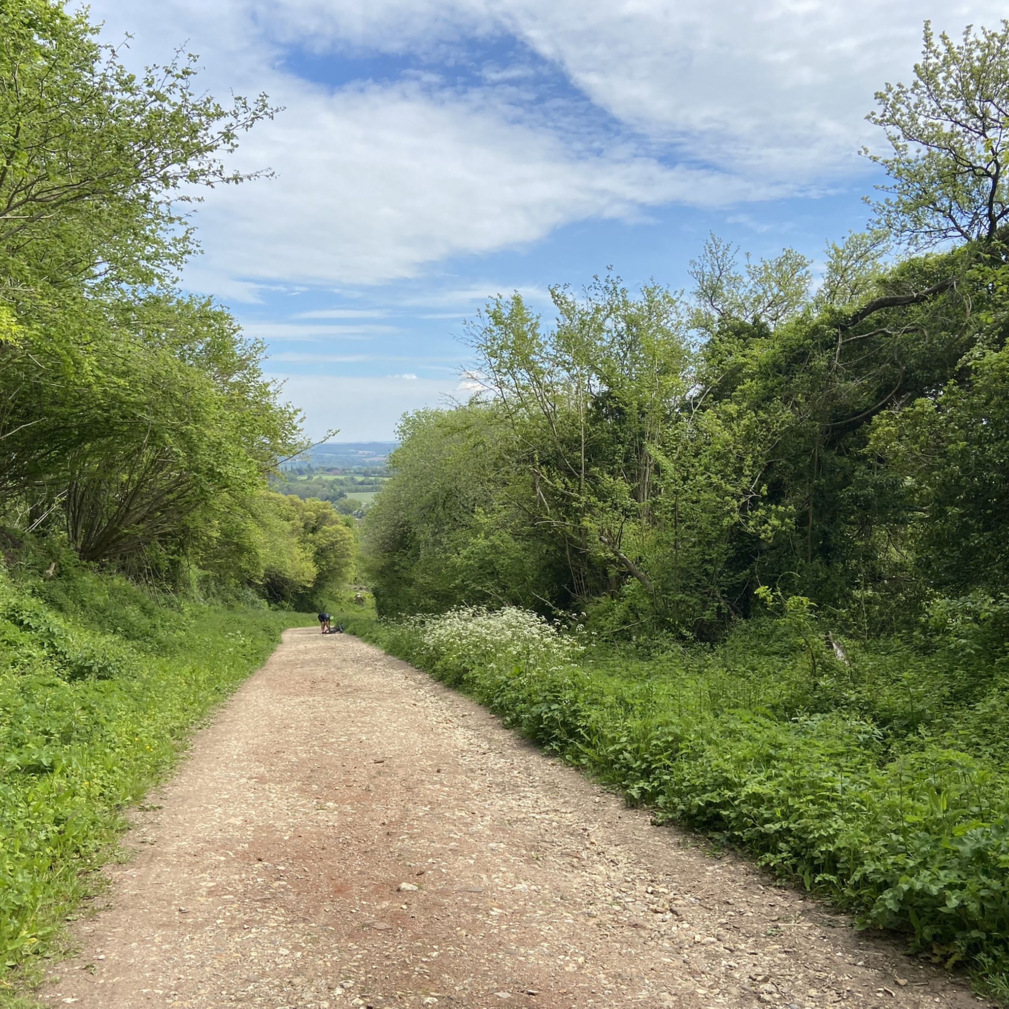
This was on the last leg of the King Alfred’s Way for me and was one of the few descents in the whole trip i walked, dry conditions but on a loaded gravel - the descent was more treacherous than i was prepared to risk / but amazing views from the top and a fast through the fields ride from the bottom.
1
0

This is a stunning area with good, wide, chalky paths that make even walking in the wetter winter months a breeze. Owing to the porous nature of chalk, even my rather rainy amble on the South Downs Way was a dry affair underfoot.
1
0
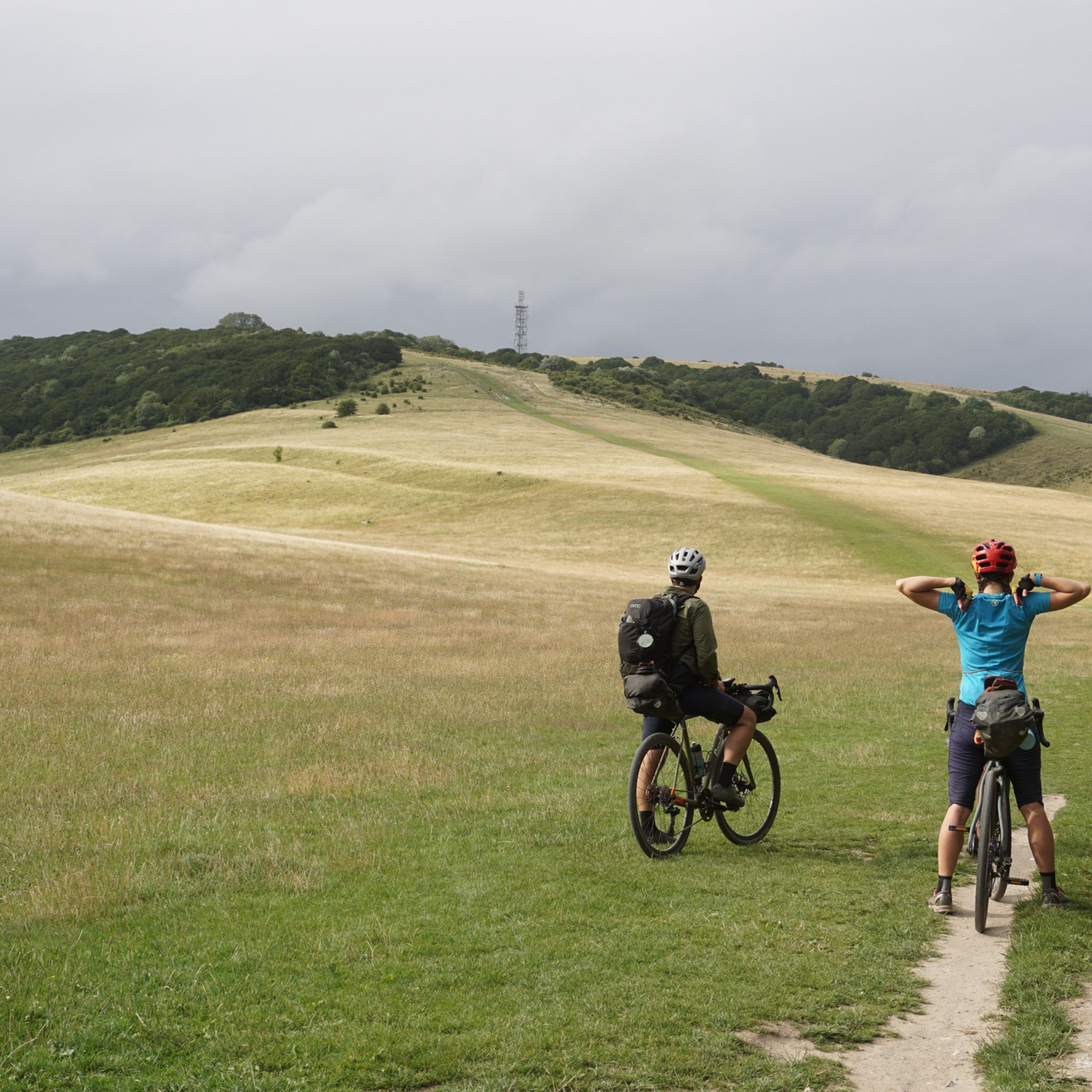
This is a beautiful Iron Age hill fort that is now a national nature reserve, and it is a great area to bring the family to enjoy the beautiful views from the top. It has come a long way from being a mortar testing range for the British Army back in WW2.
0
0

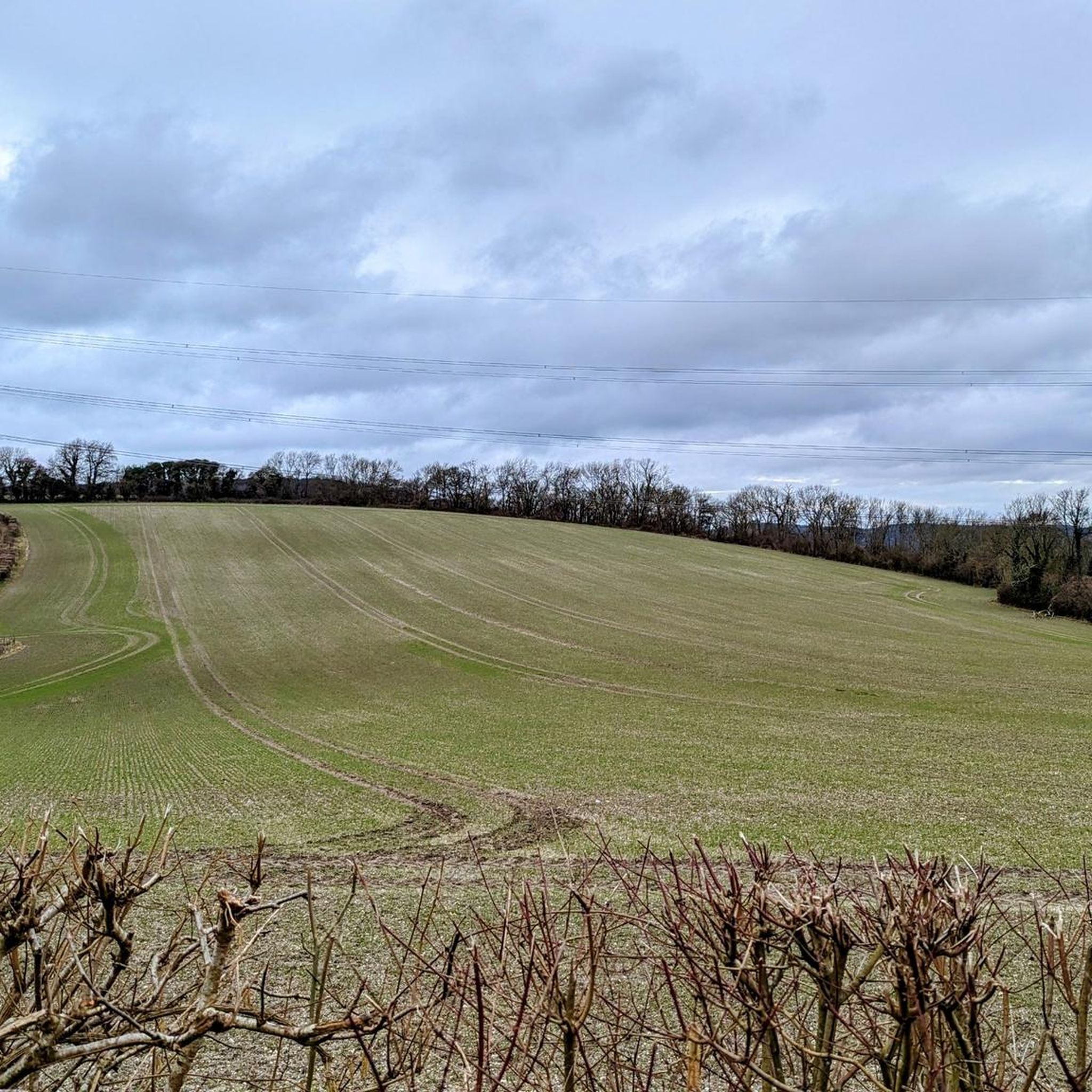
Torberry Hill is an Iron Age hillfort in West Sussex. It is a Scheduled Ancient Monument. The hillfort is located within the parish of Harting, within the South Downs National Park. The hillfort has a pear-shaped layout and covers an area of 2.8 hectares. It has a low dump rampart and a ditch that enclose the western part of the hill. The eastern part is defended by the steep slope of the hill. The interior of the hillfort contains several storage pits that date to the Iron Age. The hillfort was built in several phases, starting from the 5th century BC. Torberry Hill is also a mountain summit that is 156 metres high with a prominence of 65 metres. The summit can be identified by a grass mound. There are several walks that can be done around Torberry Hill, such as the one to West Harting Down or Beacon Hill.
3
0

I really enjoyed this section of the South Downs Way. Wide white chalky paths with lush green fields all around. Beautiful.
0
0

Trig points within the Old Winchester Hill fort.
0
0

Worth the slippery, chalky muddy ascent from Mile End lane - looking forward to repeating the route in summer with less mud!
1
0
험한 주변에서 가장 인기 있는 명소


더 살펴보기
이 가이드를 통해 험한 주변의 더 놀라운 정상들을 확인해보세요:
