20의 알레스포드 시민 교구가지 명소 & 주요 장소
알레스포드 시민 교구에는 둘러볼 만한 장소가 많답니다. 하이킹 또는 사이클링을 좋아한다면 알레스포드 시민 교구에 숨겨진 20
가지 보석을 만날 수 있을 거예요. 이 지역의 주요 명소를 살펴보면서 다음 모험을 계획해보세요.
마지막 업데이트: 9월 8, 2026
스트루드 코즈웨이를 통한 머지아 섬
하이라이트 • 자전거 도로
팁에 의해


이런 장소를 발견하려면 지금 가입하세요
최고의 싱글 트랙, 봉우리 및 다양한 흥미로운 야외 장소에 대한 추천을 받아보세요.
팁에 의해

Colchester Castle
하이라이트 • 역사적 장소
팁에 의해
세인트 존 더 배프티스트 교회, 레이어 드 라 헤이
하이라이트 • 종교적 장소
The first record of the church's existence is found in a charter of 1128, although the oldest parts of the present walls were built some time …
팁에 의해

무료로 가입하여 알레스포드 시민 교구 주변의 더 많은 명소를 발견하세요.
이미 komoot 계정이 있나요?
오늘 무료 계정으로 시작하세요
다음 모험이 기다리고 있어요.
커뮤니티 팁

Ensure you check the local tide table as the Strood often floods at high tide.
0
0

Opening times aren't fully reliable so might be a bit hit and miss but fortunately there are a number of other seafood places nearby if you're unlucky here.
0
0
The only road access to Mersea so make sure you don't spend too long on the island if the tide has started to turn or you could have a long wait to leave again.
0
0

Info taken from http://www.layerchurches.org.uk/churches.htm The first record of the church's existence is found in a charter of 1128, although the oldest parts of the present walls were built some time before. At this time the church belonged to the Abbey of St John in Colchester, but within sixty years it had passed to the Priors of St Botolph. It was from these two great religious houses that the priests who ministered to the needs of the parish were drawn for over four hundred years. The written records of the church are few. We know that after the Black Death the monks of St Botolph set to work to rebuild the nave and tower, both of which date from about 1350. A hundred years later they raised the chancel arch and gave the church its oldest bell (1459). Layer de la Haye interiorDuring the 17th and 18th centuries the church suffered from neglect while it was held in plurality with Berechurch and other places. It was not until the middle of the 19th century that steps were taken to repair the fabric of the church and make it fully fit for worship. This was during the incumbency of the first resident vicar. The church was also enlarged by the building of the south aisle because the population had more than doubled since the turn of the century. The registers of the church date only from 1752, fire having destroyed the earlier ones which probably dated from the sixteenth century. The bells are of particular interest and below is a link to a page giving fuller details. Early in 2001 we completed a major restoration project involving the installation of a new bell frame and ringing chamber in the tower, a new bell, and refurbishment of the other bells, the oldest of which dates back to circa 1459.
1
0

Nice way. And not too crowded with people. Recommended.
0
0

Various cold seafood during the week plus hot dishes at weekends. Quite a lot of outside space so usually easy to sit with the bike.
0
0


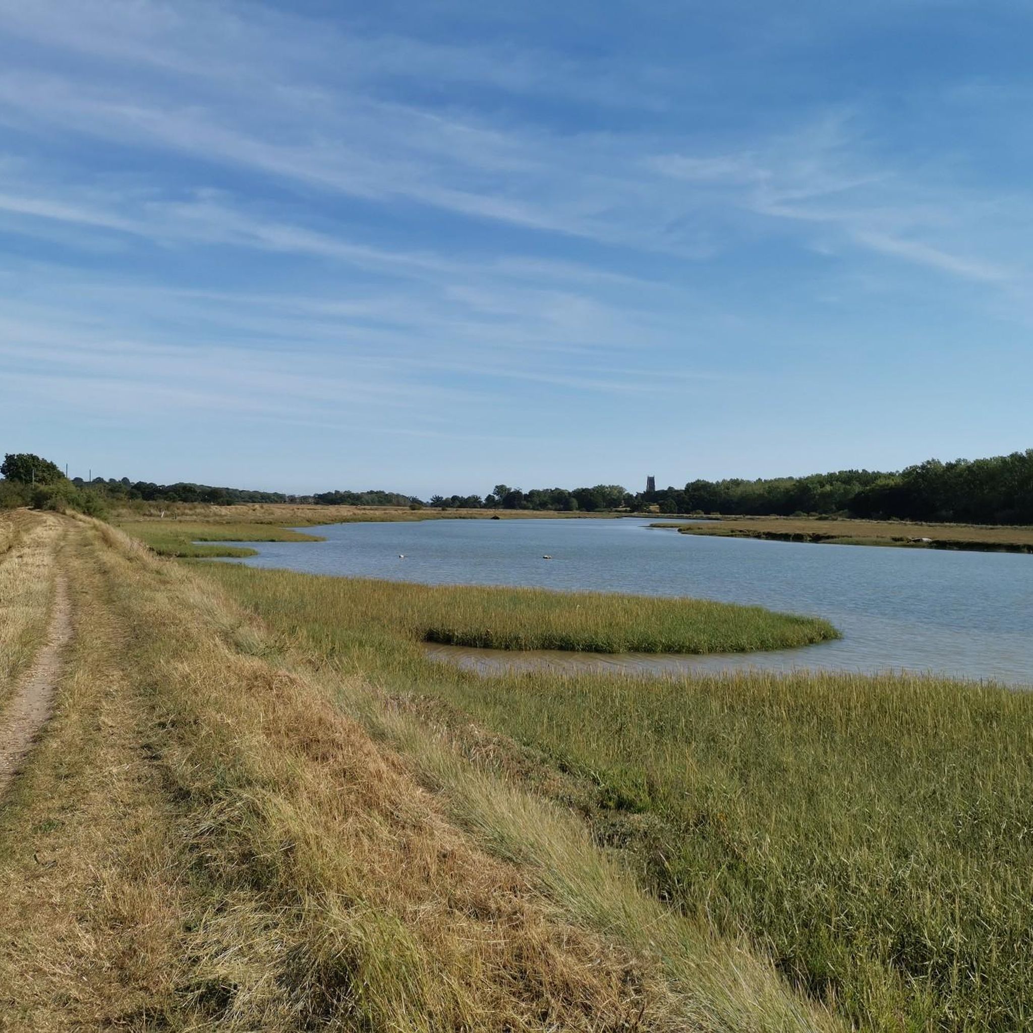
The River Colne flows through Colchester and the Essex countryside on its way to the sea. There's a nice riverside path which is great for cycling. The river runs 39 miles (62 km) in total.
2
1


더 살펴보기
찾고 있는 하이라이트를 아직 못 찾으셨나요? 다른 지역의 주요 명소 가이드를 확인해보세요:
