브램리 최고의 러닝 경로
4.0
(3)
230
달리기 하는 사람
19
러닝
브램리에서 하이킹하며 웨이벌리 구석 부분까지 살펴볼까요? 브램리에 있는 모든 하이킹 및 워킹 경로 컬렉션 중 가장 멋진 하이킹 경로를 엄선하여 소개해드릴게요. 다른 하이커가 공유한 실제 팁과 사진을 살펴보고 후기를 읽으며 마음에 드는 브램리 워킹 경로를 찾아보세요.
마지막 업데이트: 9월 7, 2026
49
달리기 하는 사람
보통 조깅. 좋은 체력 필요. 대부분 포장된 지면. 실력과 관계없이 누구나 갈 수 있음.
37
달리기 하는 사람
보통 조깅. 좋은 체력 필요. 대부분 포장된 지면. 실력과 관계없이 누구나 갈 수 있음.

31
달리기 하는 사람
보통 조깅. 좋은 체력 필요. 대부분 포장된 지면. 실력과 관계없이 누구나 갈 수 있음.
5.0
(2)
31
달리기 하는 사람
7.54km
00:52
70m
70m
보통 조깅. 좋은 체력 필요. 대부분 포장된 지면. 실력과 관계없이 누구나 갈 수 있음.
9
달리기 하는 사람
6.47km
00:41
30m
30m
보통 조깅. 좋은 체력 필요. 대부분 포장된 지면. 실력과 관계없이 누구나 갈 수 있음.
더 다양한 경로와 다른 탐험가들의 추천을 살펴보세요.
이미 komoot 계정이 있나요?
투어 추천은 다른 사람들이 komoot에서 완료한 수천 개의 활동을 바탕으로 구성되어 있습니다.
오늘 무료 계정으로 시작하세요
다음 모험이 기다리고 있어요.

커뮤니티 팁


Volunteers have been planting saplings and overall restoring London's route to the sea.
0
0
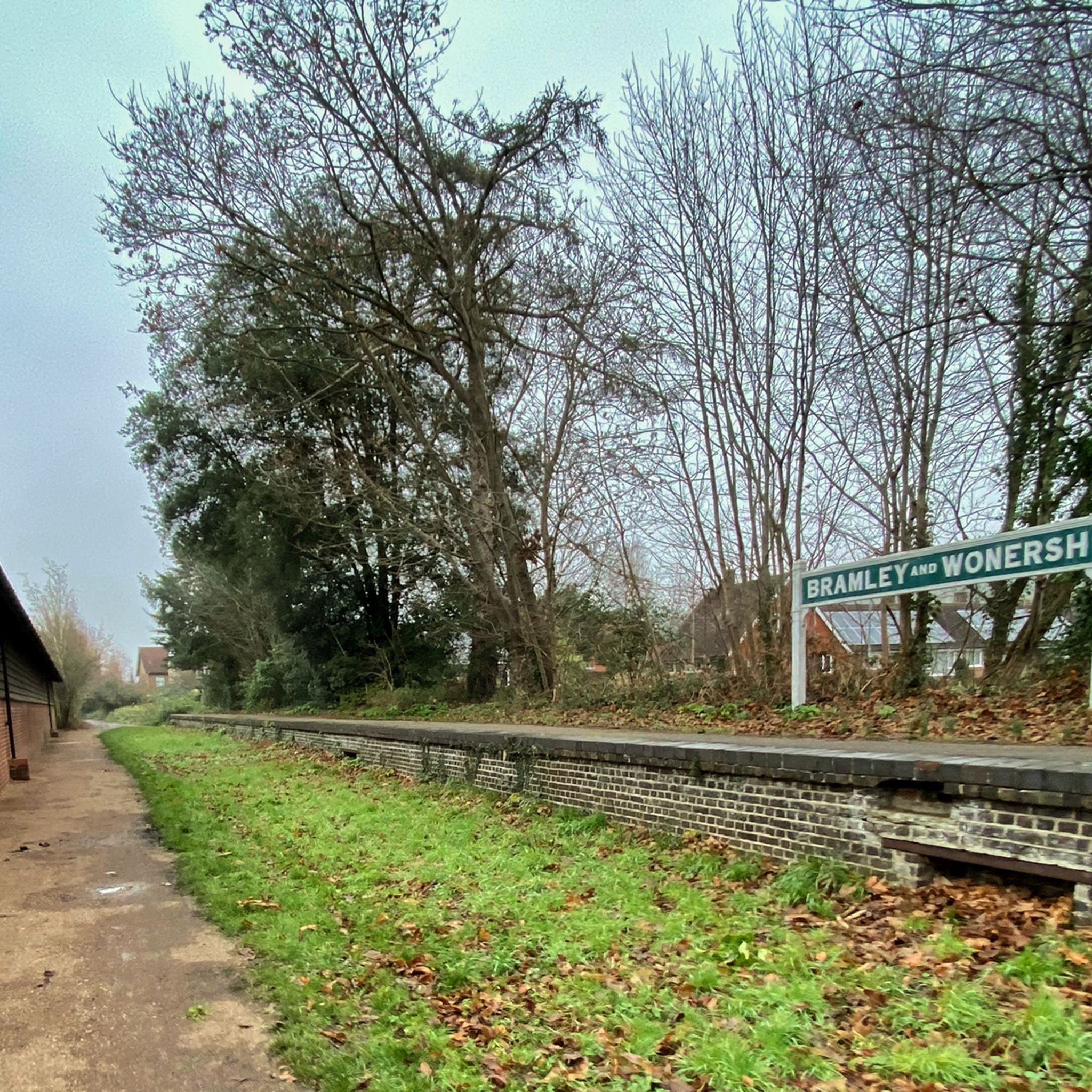
Hello old railway station on the Downs Link... amazing to be able to ride alongside all these old stations isn't it?
0
0

This highlight has notable historical significance. It shows the place where the old Wey and Arun Canal started from on the River Wey. For several decades in the 19th century the Wey and Arun Canal was a vital trade link between the south coast and the River Thames and London. The Canal was 23-miles long and linked the rivers Wey and Arun between Shalford in Surrey and Pallingham in Sussex. Commercial trade on the Wey and Arun Canal reached a peak of 23,000 tons in 1839. However, with the establishment of the railways canal trade traffic started to decrease and had virtually stopped by 1868. Although no longer looking at its best the start of the old Canal is still evident 150 years after most canal traffic ceased. Restoration of the Wey and Arun Canal is underway and it is planned that “London’s lost route to the sea” will eventually be reopened.
0
0
The beautiful River Wey passes under a former railway bridge just south of Shalford. This is where the Guildford to Horsham single-track railway line ran between 1865 and 1965. The original railway bridge was removed soon after the old railway line closed. However, the bridge abutments remained and were used to support a new bridge for long-distance walkers and cyclists that opened in July 2006. The new bridge - called the Unstead Woods Downslink Bridge - forms part of the Downs Link, a 37-mile (59 km) long footpath and cycle route between Guildford and Shoreham. It is delightful to walk under/over this bridge, to admire the surrounding scenery, and to imagine the scene a century ago when steam trains used to cross the former bridge.
0
0
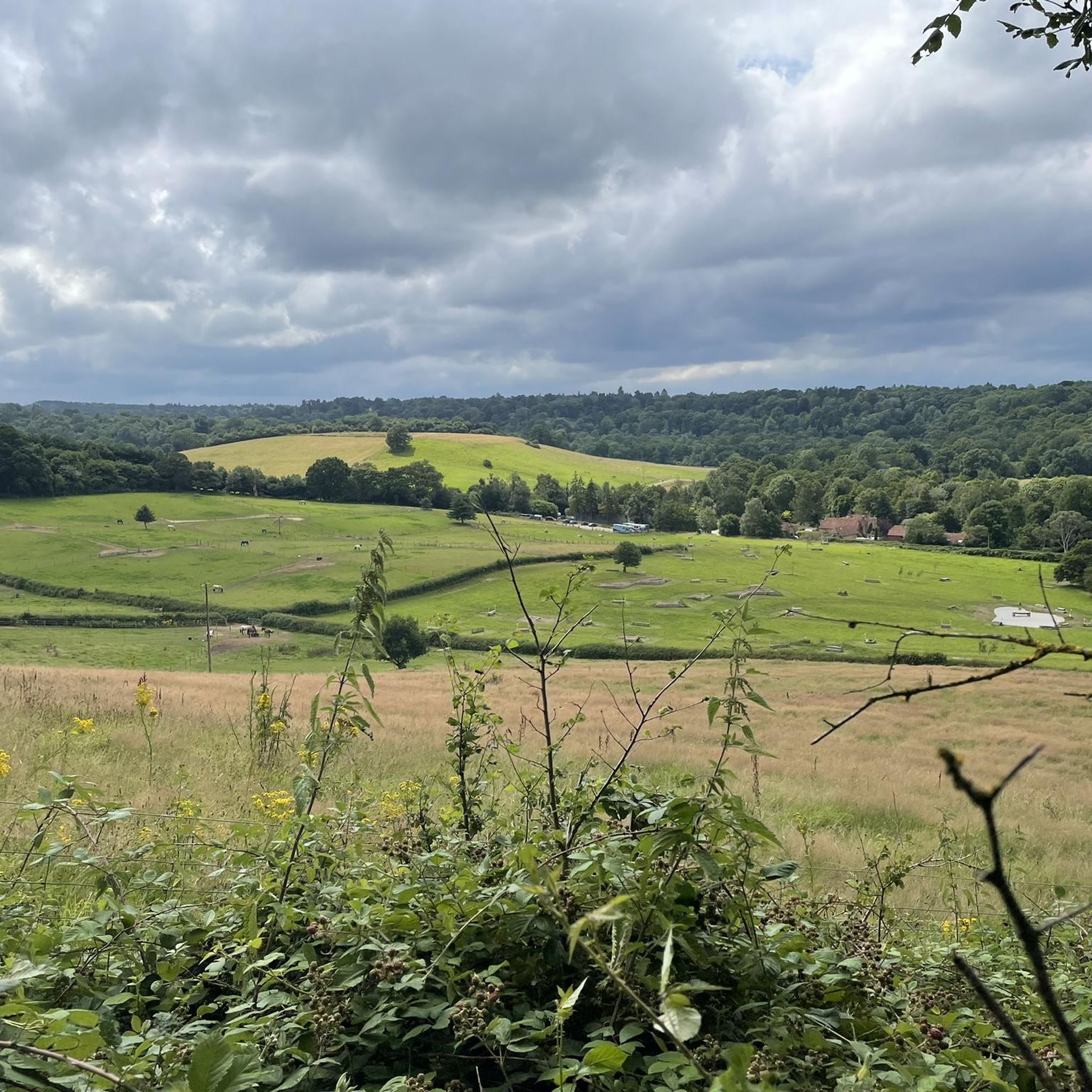
Best ridden in the spring before the undergrowth gets too wild - this section is pretty and fun.
0
0
This section of the Wey South path can get a little busy with other users at the weekend but is great for connecting other villages and avoiding busy roads.
0
0

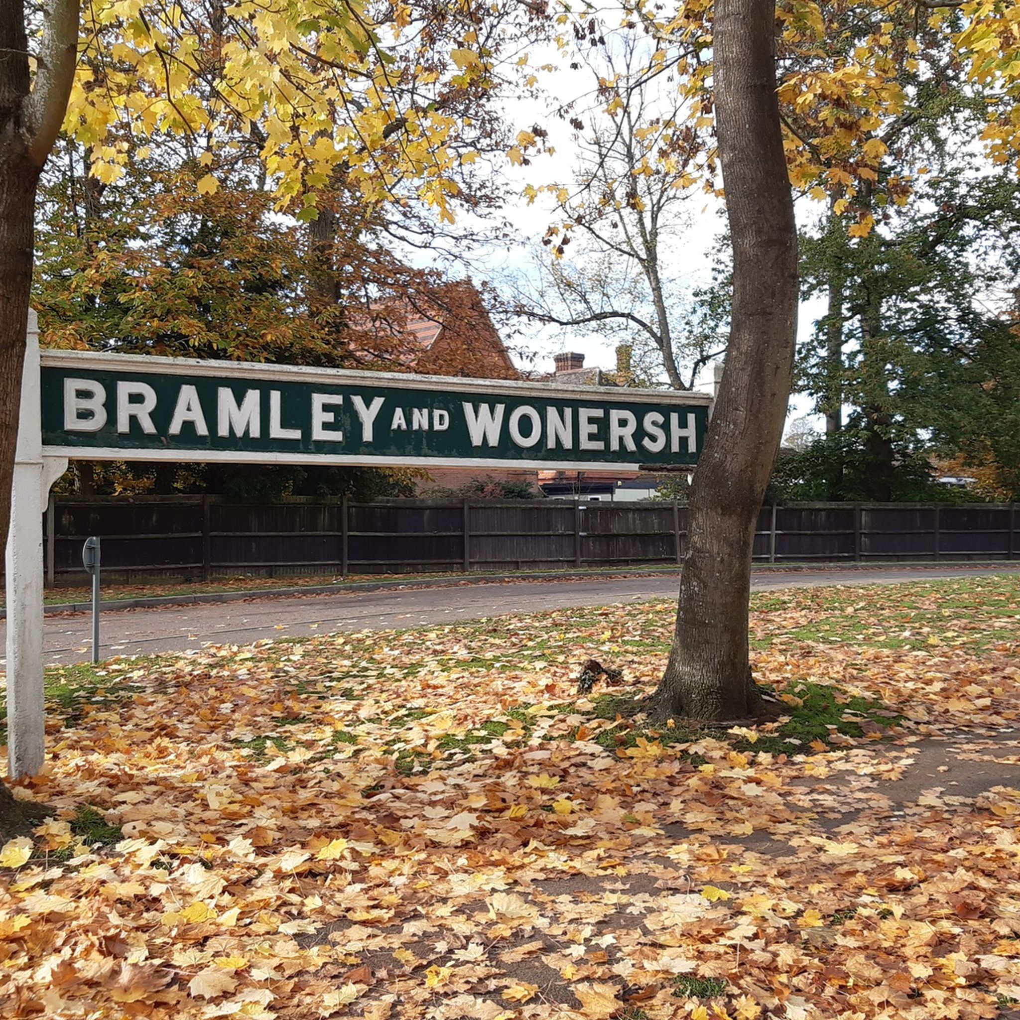
A little glimpse of the past as you cycle down the Downs Link (Stage 1) route and you arrive with the rising station platform on one side. Station signs and the station hut provide an insight to what once must have been a bustling station. Nice little rest stop as you continue down the trail.
0
0
브램리 주변에서 가장 인기 있는 명소


더 살펴보기
다른 지역의 최고의 러닝 트레일 & 경로를 살펴보세요.
