노르망디 최고의 워킹 & 하이킹 경로
4.5
(1812)
15,772
등산객
1,033
하이킹
Komoot에 등록된 노르망디 내 트레일 및 경로 컬렉션 중에서 하이킹과 워킹을 가장 멋지게 즐길 수 있는 곳을 알려드릴게요. 아래에서 각 경로의 상세 정보를 모두 확인한 후, 노르망디 속 자연에서 즐거운 시간을 누려보세요.
마지막 업데이트: 9월 26, 2026
5.0
(1)
10
등산객
11.0km
02:54
90m
90m
Hike the moderate 6.9-mile Ash, Stoney Castle, & Henley Park Ranges loop through heathland and past Henley Park Lake in Surrey.
4.0
(2)
27
등산객
10.5km
02:42
40m
40m
보통 하이킹. 좋은 체력 필요. 실력과 관계없이 누구나 쉽게 갈 수 있는 길.

5.0
(3)
25
등산객
4.11km
01:03
20m
20m
초급용 하이킹. 모든 체력 수준에 적합. 실력과 관계없이 누구나 쉽게 갈 수 있는 길.
4.0
(1)
30
등산객
5.92km
01:31
20m
20m
초급용 하이킹. 모든 체력 수준에 적합. 실력과 관계없이 누구나 쉽게 갈 수 있는 길.
4.0
(2)
18
등산객
14.4km
03:41
50m
50m
보통 하이킹. 좋은 체력 필요. 실력과 관계없이 누구나 쉽게 갈 수 있는 길.
더 다양한 경로와 다른 탐험가들의 추천을 살펴보세요.
이미 komoot 계정이 있나요?
투어 추천은 다른 사람들이 komoot에서 완료한 수천 개의 활동을 바탕으로 구성되어 있습니다.
오늘 무료 계정으로 시작하세요
다음 모험이 기다리고 있어요.
커뮤니티 팁


Henley Park Lake is a beautiful tree-lined oasis situated nearby to Normandy in Surrey. The lake has a high presence of fish species and is popular amongst anglers. There is a picnic area and café near the pier where you can purchase some delicious coffee and cake from The Coffee Shop.
1
0

Frimley Lodge Park is a great place to visit on a family hike. There are two children's playgrounds, a minature railway, two picnic areas and pitch and putt. All surrounded by meadows and woodland on the banks of the Basingstoke Canal. Plus public toilets and a cafe.
0
0
The Basingstoke Canal offers 32 miles of canal tow path. Some say it is the most beautiful in the country. It was built in 1794 and stretches between the River Thames at Weybridge to Basingstoke. After falling into disrepair in the 1950s, it was renovated and reopened for navigation in 1991.
1
0

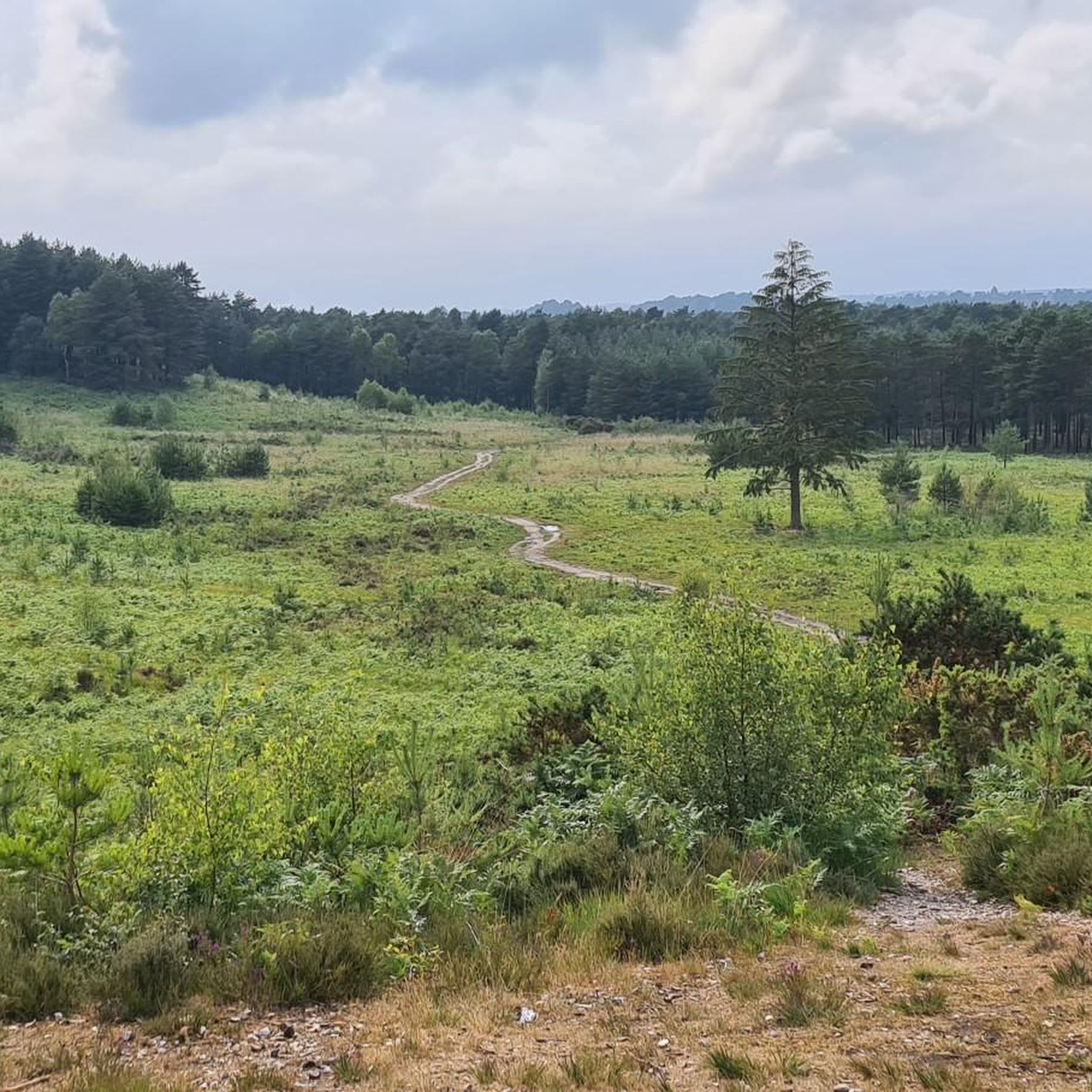
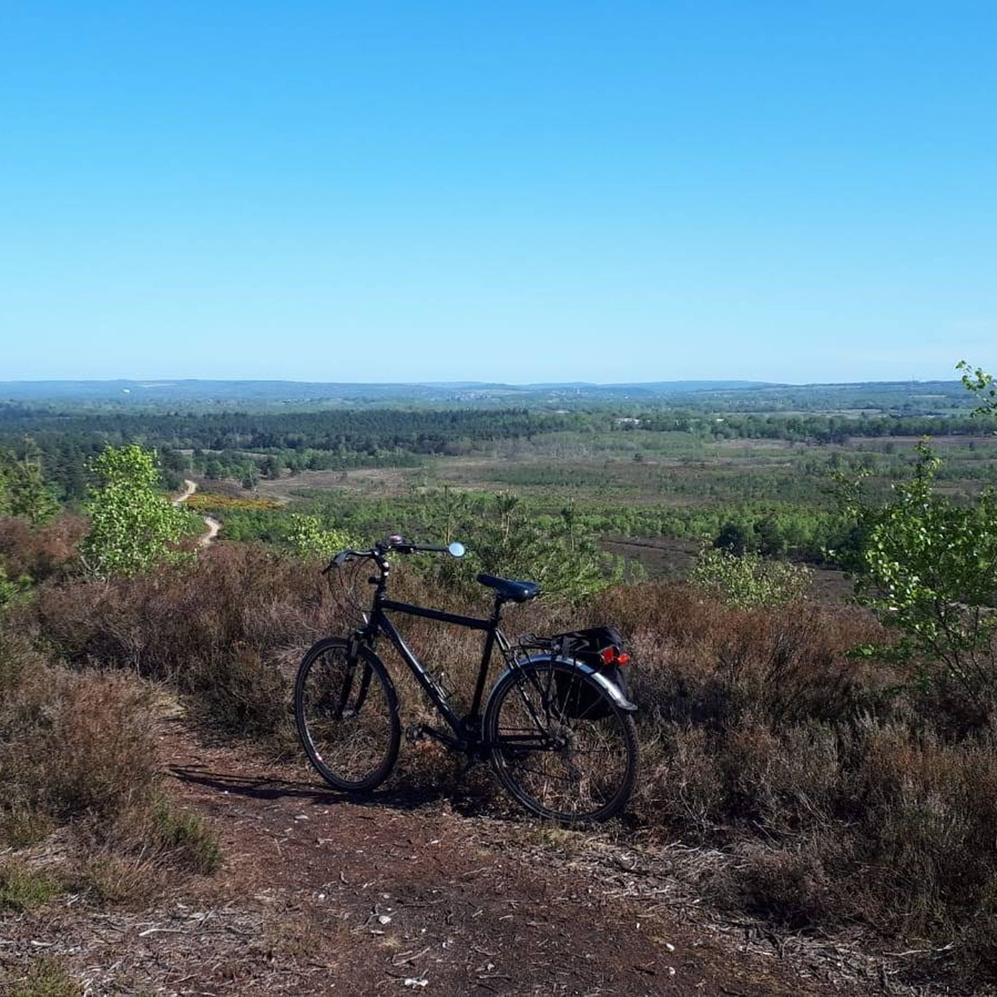
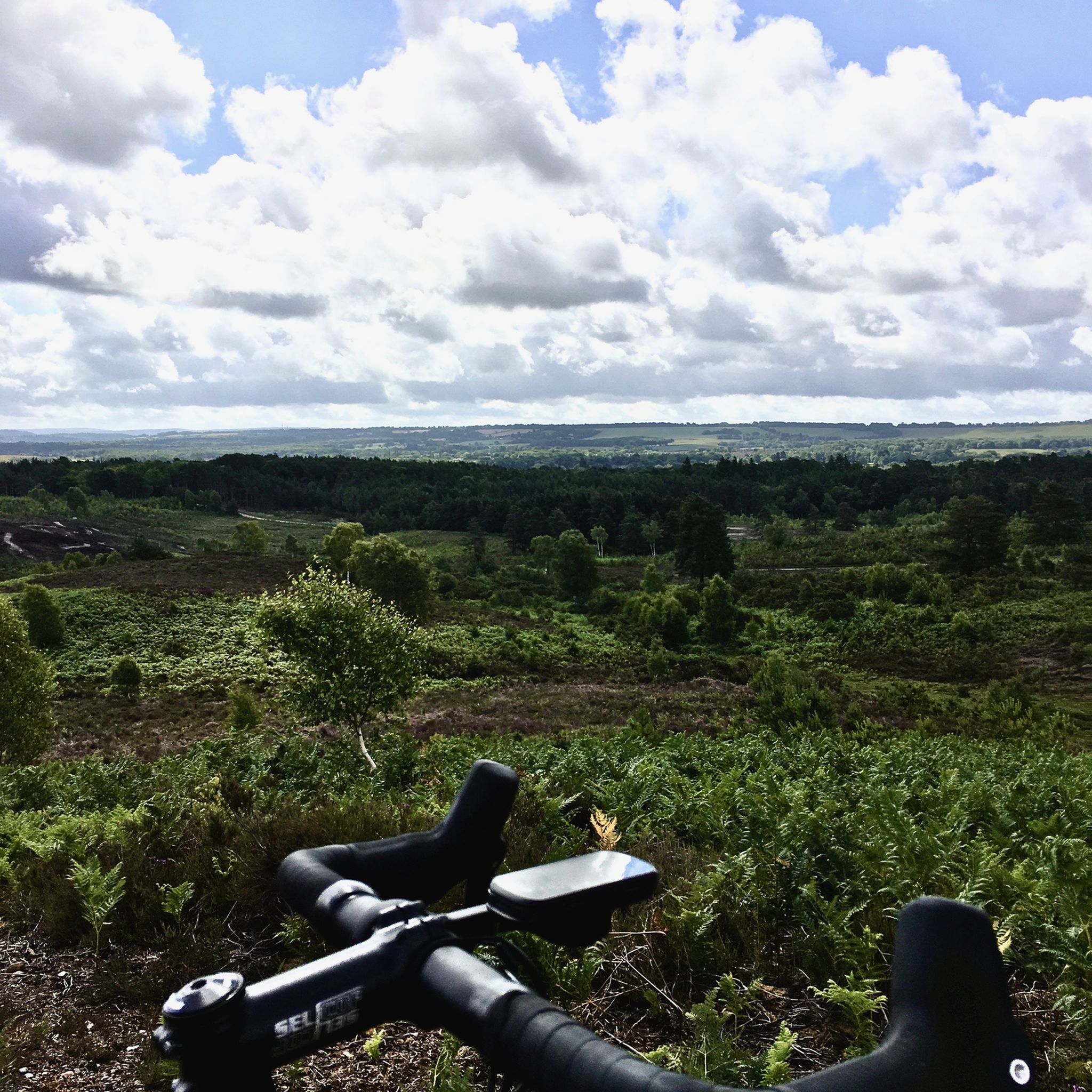
Ash Ranges are an extensive 800 hectares of stunning open dry heathland. The heathland suffer from a fire this summer but is recovering. It’s managed on behalf of the MOD so access is not permissible when red flags are flying or red beacons are lit. An up to date list of training firing times can be found through this link https://www.gov.uk/government/publications/south-east-training-estate-firing-times
1
0

An ait is an islet, usually called such when found on the River Thames or a tributary of it. This one is next to an army camp on the Basingstoke Canal, which is indeed a tributary of the Thames. I don't know who Roy is, but his islet is an interesting feature to see on a canal.
0
0
As you hike alongside the Basingstoke Canal, it's easy to not realise that you're actually walking over an aqueduct. The canal is suspended above the mainline railway to London here so if you suddenly hear a train rumbling, that's why. Despite this, the canal remains leafy green and in summer especially, it's almost impossible to notice the presence of the railway. Built in 1840, the aqueduct later had gates built at either side so that should a bomb fall on it during the Second World War, the gates would stop the canal from flooding the railway beneath.
1
0

Up and over the canal. A good way to link trails on either side of the canal
0
0
노르망디 주변에서 가장 인기 있는 명소


더 살펴보기
다른 지역의 최고의 하이킹를 살펴보세요.
