세인트 마사 최고의 러닝 경로
4.3
(305)
13,965
달리기 하는 사람
804
러닝
세인트 마사에서 하이킹하며 길포드 구석 부분까지 살펴볼까요? 세인트 마사에 있는 모든 하이킹 및 워킹 경로 컬렉션 중 가장 멋진 하이킹 경로를 엄선하여 소개해드릴게요. 다른 하이커가 공유한 실제 팁과 사진을 살펴보고 후기를 읽으며 마음에 드는 세인트 마사 워킹 경로를 찾아보세요.
마지막 업데이트: 10월 17, 2026
5.0
(2)
50
달리기 하는 사람
보통 조깅. 좋은 체력 필요. 대부분 갈 수 있는 길. 일부 구간에서 미끄러지지 않게 조심해야 함.
4.3
(4)
23
달리기 하는 사람
14.5km
01:39
240m
240m
보통 조깅. 좋은 체력 필요. 대부분 포장된 지면. 실력과 관계없이 누구나 갈 수 있음.

5.0
(1)
2
달리기 하는 사람
4.97km
00:33
50m
50m
This easy 3.1-mile (5.0 km) jogging loop through Blackheath Common and The Fox Way offers varied scenery from heathland to dense woodlands.
113
달리기 하는 사람
42.4km
04:54
730m
730m
어려운 조깅. 우수한 체력 필요. 대부분 갈 수 있는 길. 일부 구간에서 미끄러지지 않게 조심해야 함.
4.0
(1)
95
달리기 하는 사람
22.1km
02:39
350m
350m
어려운 조깅. 우수한 체력 필요. 대부분 포장된 지면. 실력과 관계없이 누구나 갈 수 있음.
더 다양한 경로와 다른 탐험가들의 추천을 살펴보세요.
이미 komoot 계정이 있나요?
투어 추천은 다른 사람들이 komoot에서 완료한 수천 개의 활동을 바탕으로 구성되어 있습니다.



커뮤니티 팁


We walked past here in September 2025 but sadly the waterfall was totally dry and not running even tho it had been a very rainy week. A lot of the vegetation around it has also been cut.
0
0

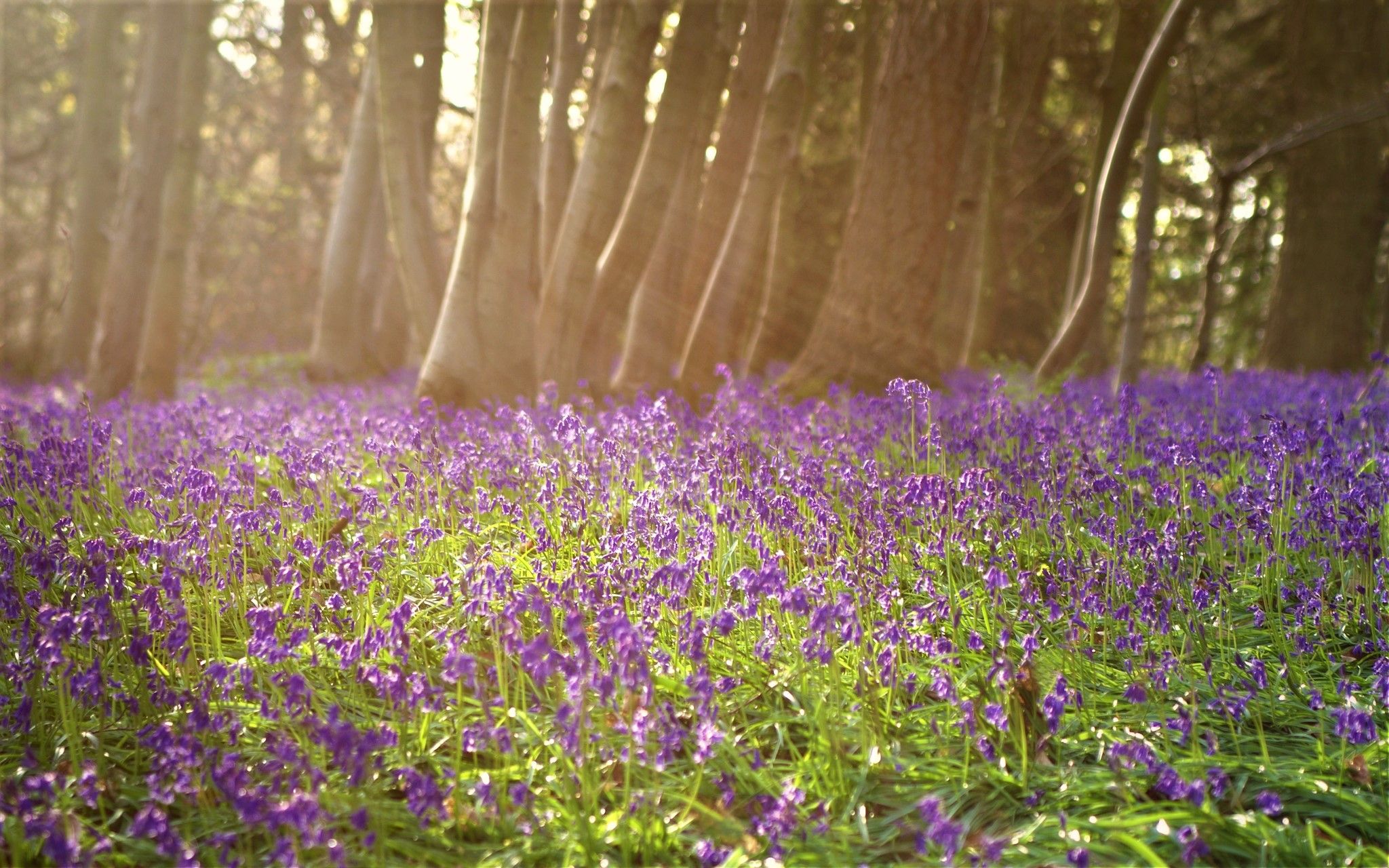
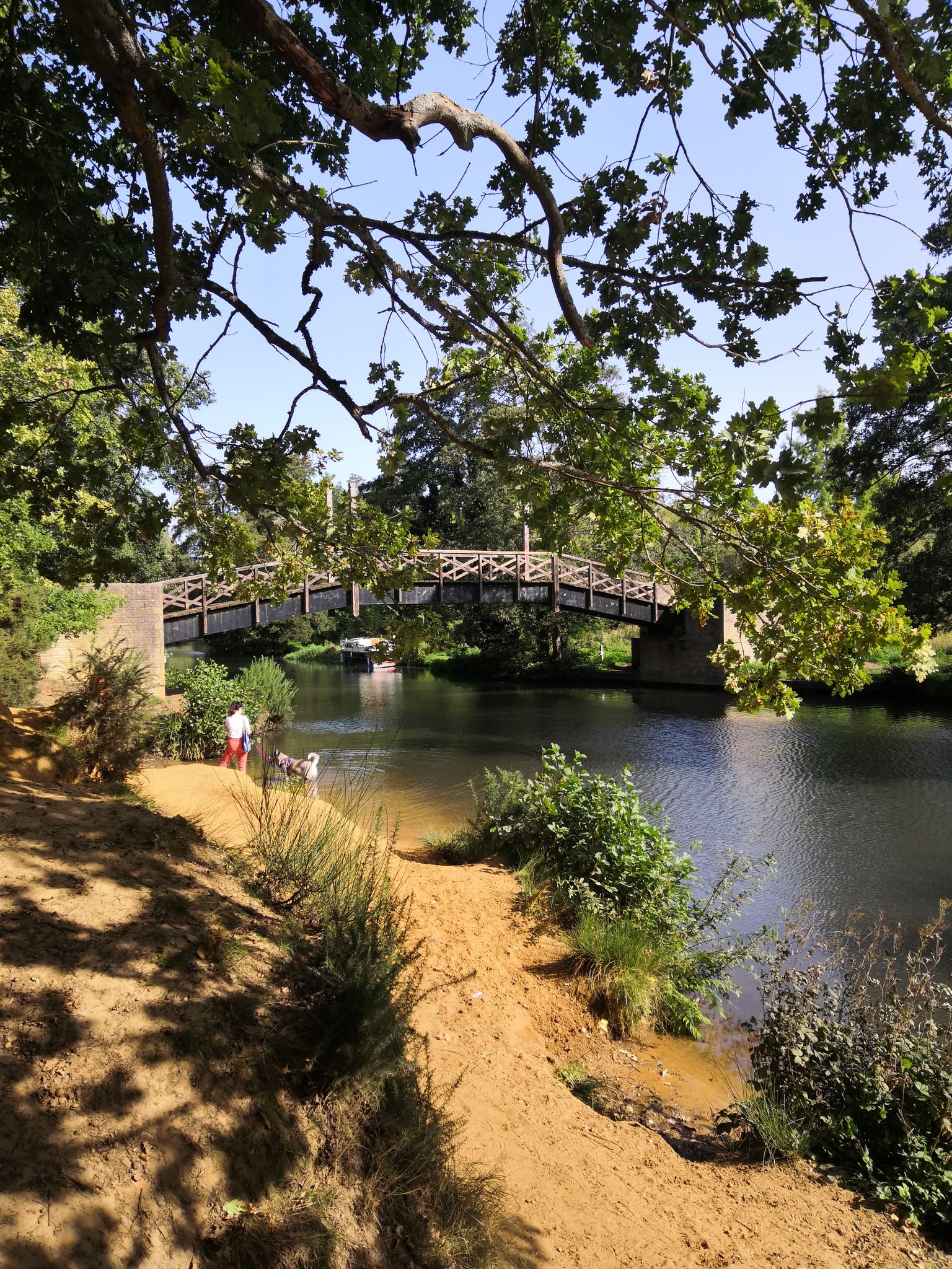
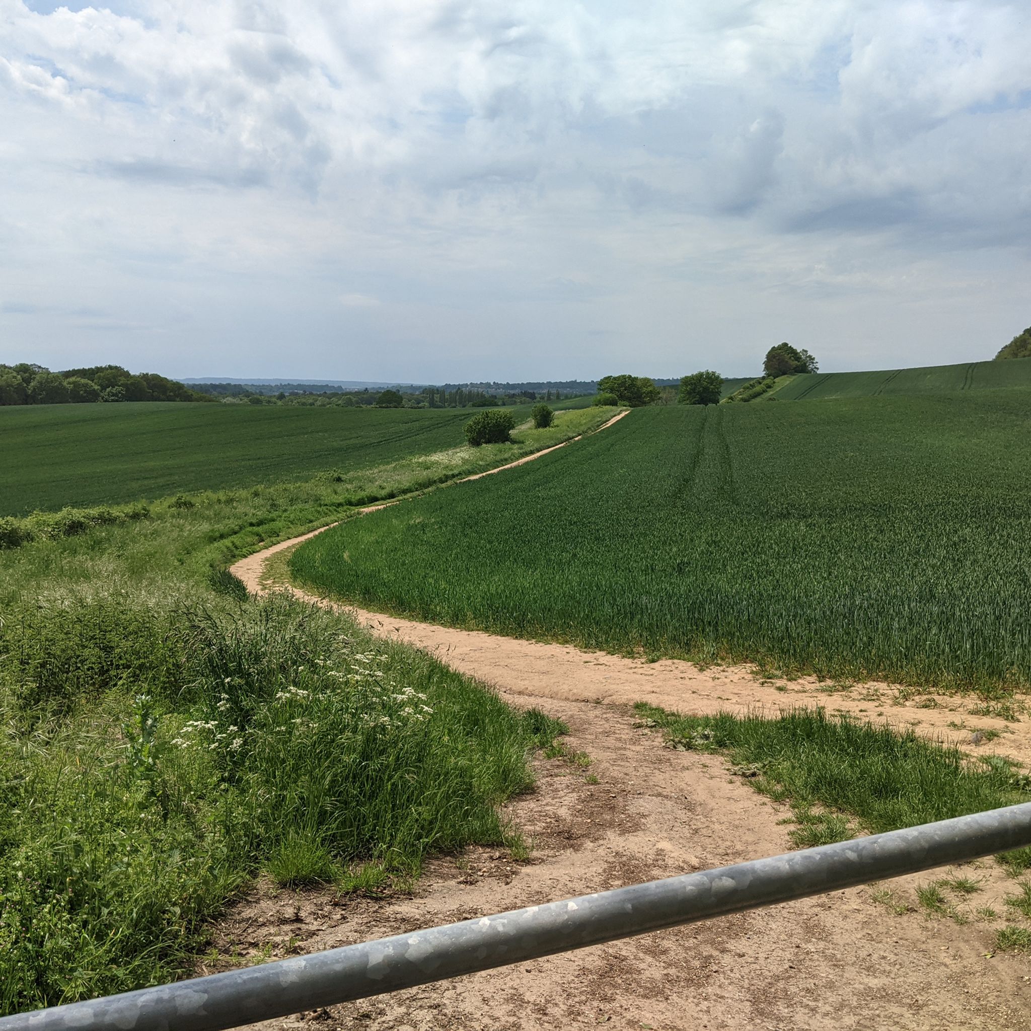
Great area for winter running, sandy terrain makes it good under foot in bad weather.
0
0

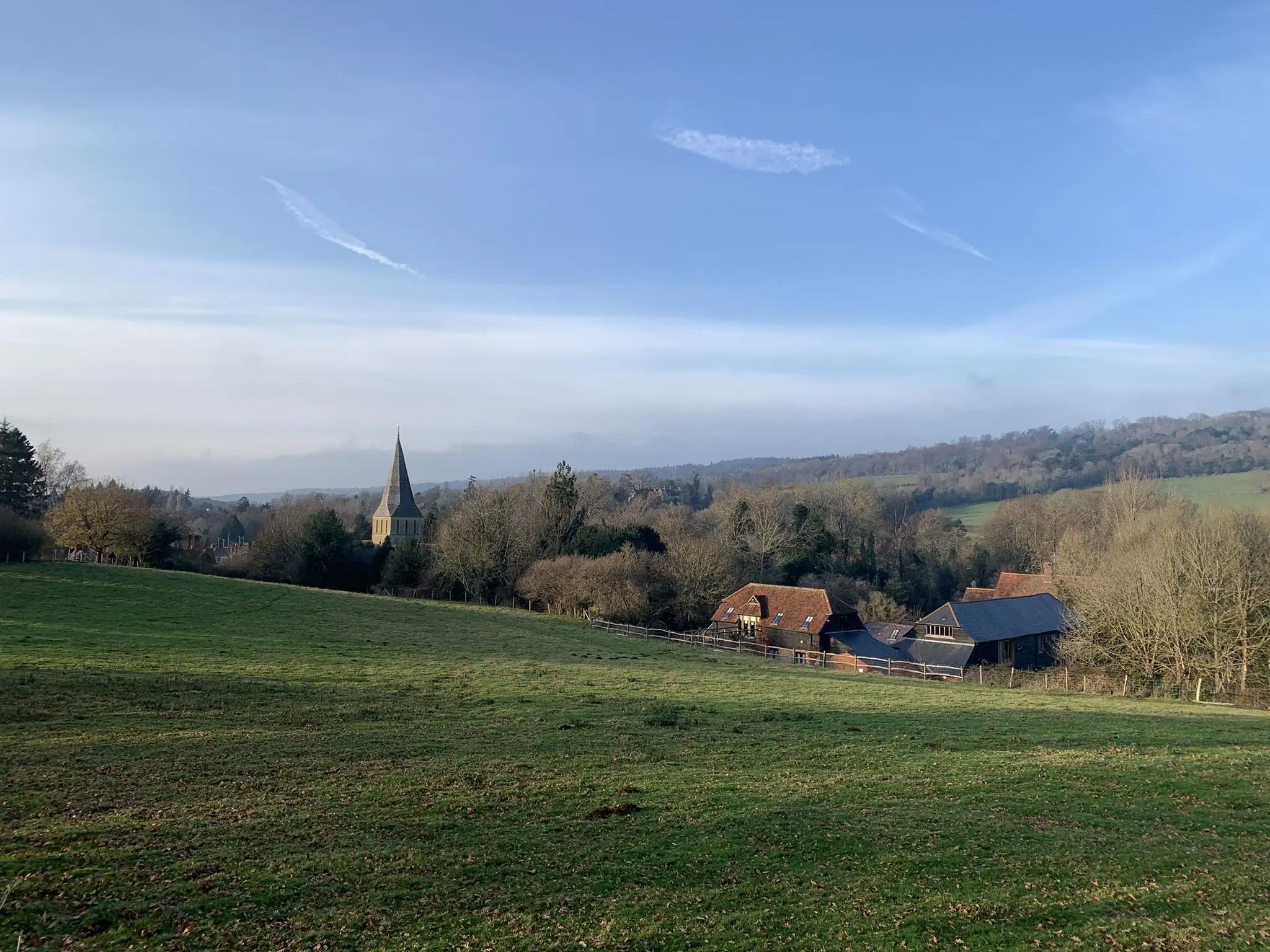
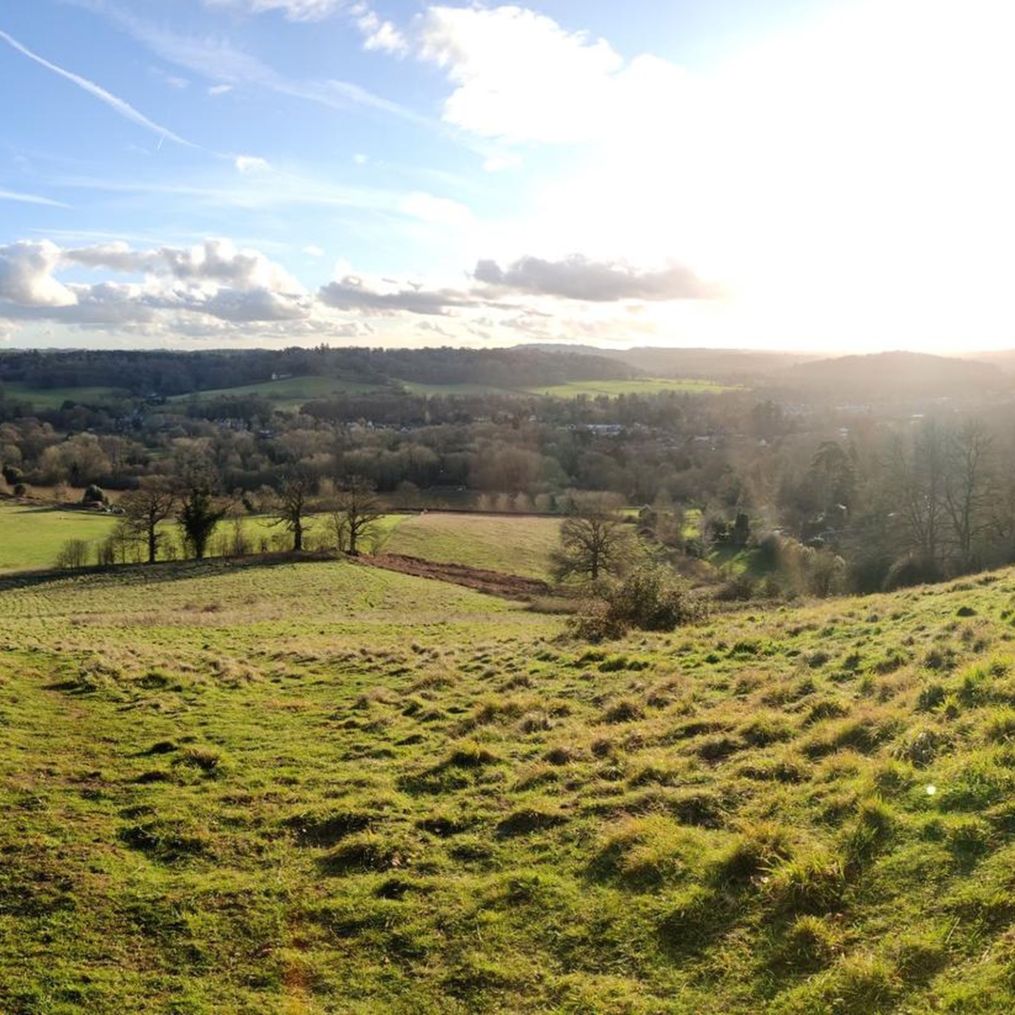
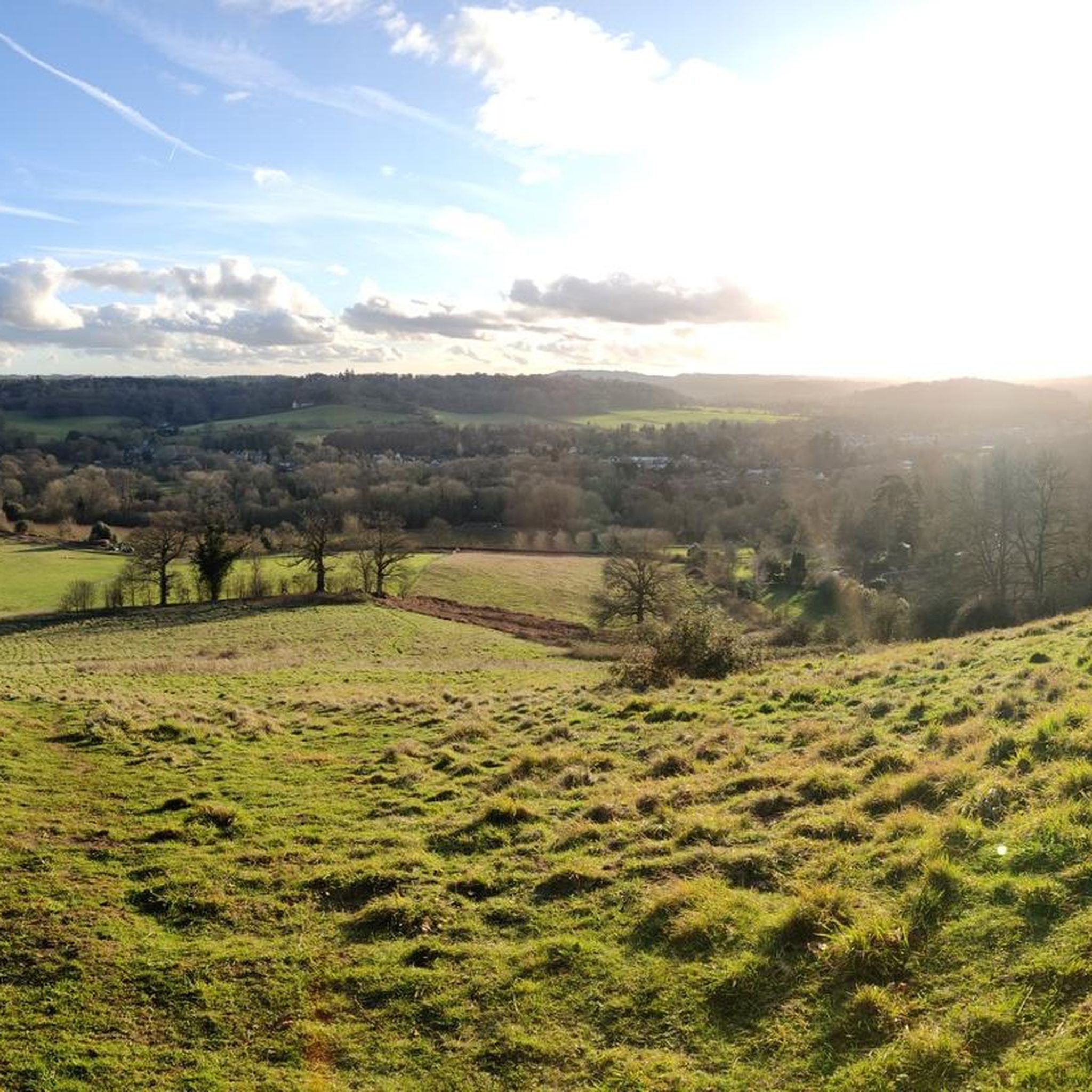
Stunning view! Especially if this is on the last few kilometres of a trail run 😀
0
0


Considering the recent wet weather, this was dry and fenced off, totally pointless location
1
0

The open summit of Holmbury Hill offers beautiful panoramic views. A delightful toposcope adds to the pleasure allowing you to identify features over 20 miles away. For example, from here on a clear day it is straightforward to see the prehistoric hill fort of Chanctonbury Ring on the South Downs located 20 miles (32 km) due south. Holmbury Hill is one of the three classic Surrey hills - along with Box Hill and Leith Hill - included in the ‘Surrey Three Peaks Challenge’. This 23-mile (37 km) round trip is comparable in distance to the Yorkshire Three Peaks Challenge but has a third less climbing. For less energetic hikers there is also a pleasant shorter three peaks Surrey walk comprising Pitch Hill, Holmbury Hill and Leith Hill which has a round trip length of 12 miles (19 km).
1
0

The Leith Hill Tower is a Gothic tower located at the top of Leith Hill in Surrey, England. It was originally built in 1765 by Richard Hull of Leith Hill Place as “a place for people to enjoy the glory of the English countryside”. It is currently owned by the National Trust and is open to visitors. The tower offers beautiful views of the surrounding area and has an information center halfway up the tower and a servery at the bottom.
1
0
세인트 마사 주변에서 가장 인기 있는 명소


더 살펴보기
다른 지역의 최고의 러닝 트레일 & 경로를 살펴보세요.
