키르히바흐 최고의 러닝 경로
4.3
(187)
3,578
달리기 하는 사람
200
러닝
키르히바흐에서 하이킹하며 헤르마고르 구석 부분까지 살펴볼까요? 키르히바흐에 있는 모든 하이킹 및 워킹 경로 컬렉션 중 가장 멋진 하이킹 경로를 엄선하여 소개해드릴게요. 다른 하이커가 공유한 실제 팁과 사진을 살펴보고 후기를 읽으며 마음에 드는 키르히바흐 워킹 경로를 찾아보세요.
마지막 업데이트: 9월 1, 2026
5.0
(1)
35
달리기 하는 사람
14.4km
01:29
30m
30m
보통 조깅. 좋은 체력 필요. 대부분 포장된 지면. 실력과 관계없이 누구나 갈 수 있음.
5.0
(1)
19
달리기 하는 사람
10.5km
01:06
60m
60m
보통 조깅. 좋은 체력 필요. 대부분 포장된 지면. 실력과 관계없이 누구나 갈 수 있음.

3.5
(2)
20
달리기 하는 사람
8.55km
00:56
20m
20m
보통 조깅. 좋은 체력 필요. 대부분 포장된 지면. 실력과 관계없이 누구나 갈 수 있음.
4.0
(1)
14
달리기 하는 사람
5.61km
00:42
230m
230m
어려운 조깅. 좋은 체력 필요. 튼튼한 신발을 신고 미끄러지지 않게 조심해야 하며, 높은 산을 오른 경험이 있어야 함.
4.0
(2)
9
달리기 하는 사람
5.77km
00:38
20m
20m
보통 조깅. 좋은 체력 필요. 대부분 포장된 지면. 실력과 관계없이 누구나 갈 수 있음.
더 다양한 경로와 다른 탐험가들의 추천을 살펴보세요.
이미 komoot 계정이 있나요?
투어 추천은 다른 사람들이 komoot에서 완료한 수천 개의 활동을 바탕으로 구성되어 있습니다.
오늘 무료 계정으로 시작하세요
다음 모험이 기다리고 있어요.
키르히바흐 주변 인기 장소
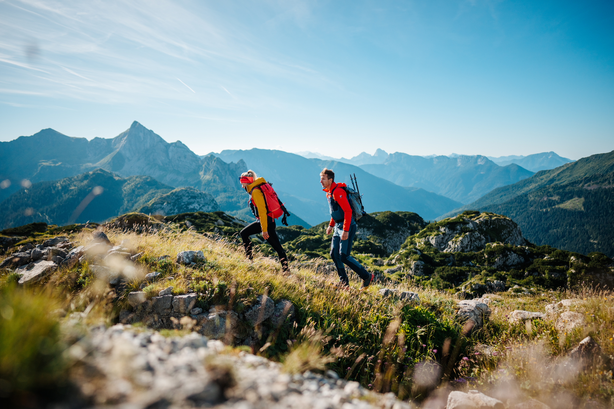
The Milky Way on the Carnic High Route – hiking the alpine cheese dairies
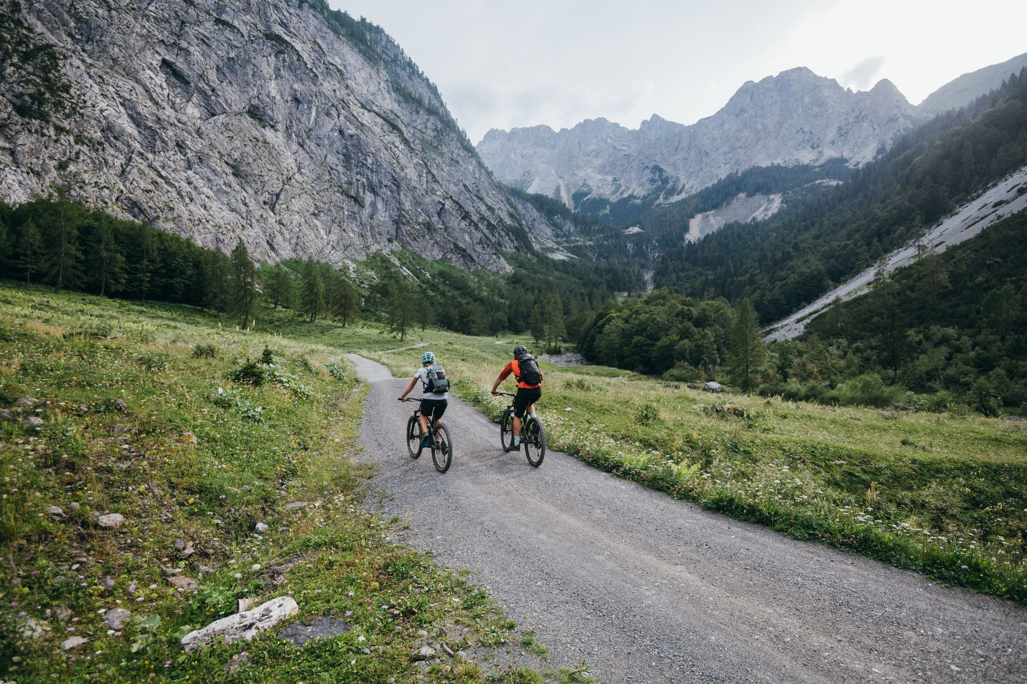
Limitless MTB fun between mountains, lakes and trails

Magnificent mountain biking on Austria's alpine pastures
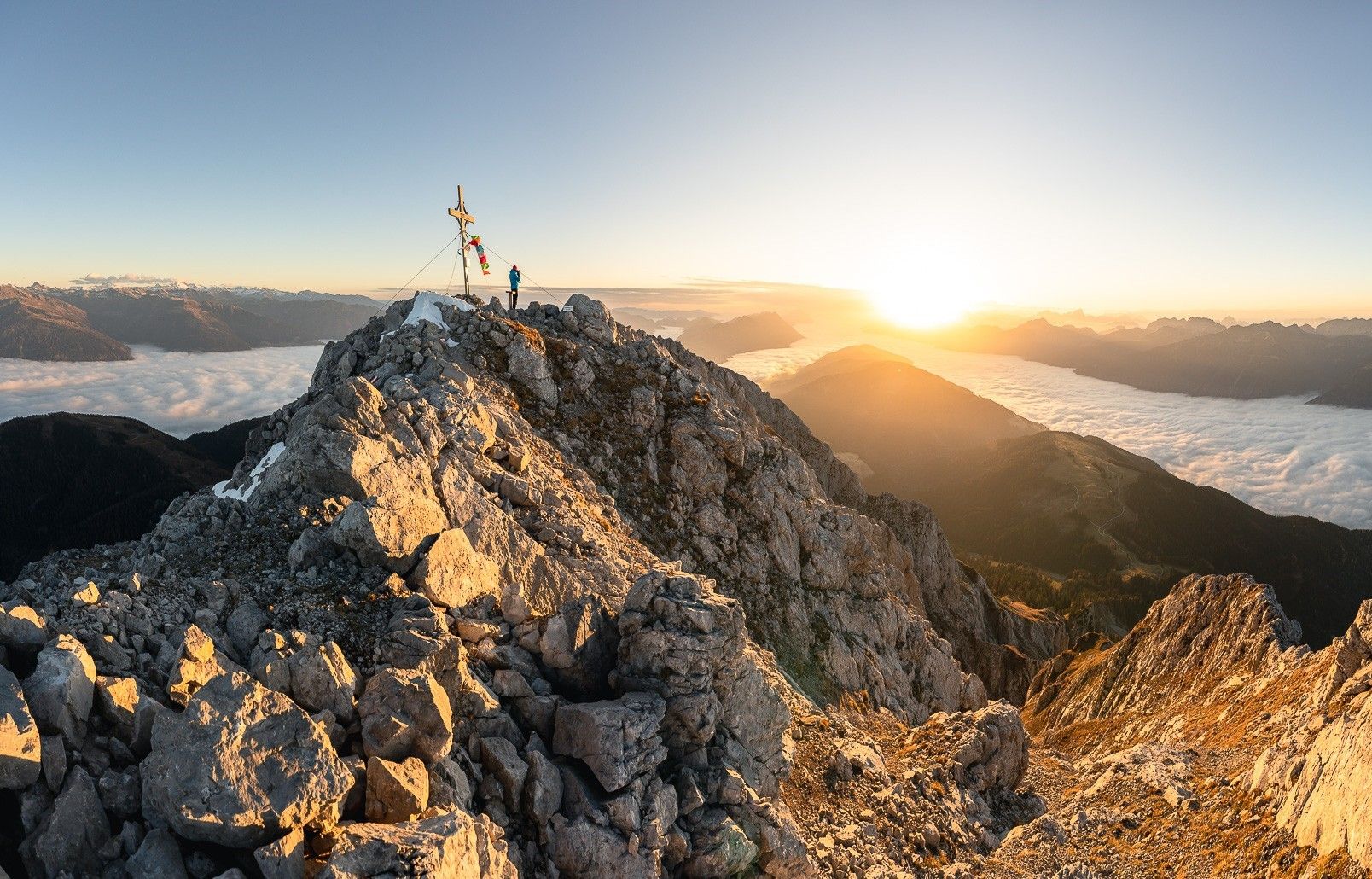
고일탈 고개길로 높이 올라가기
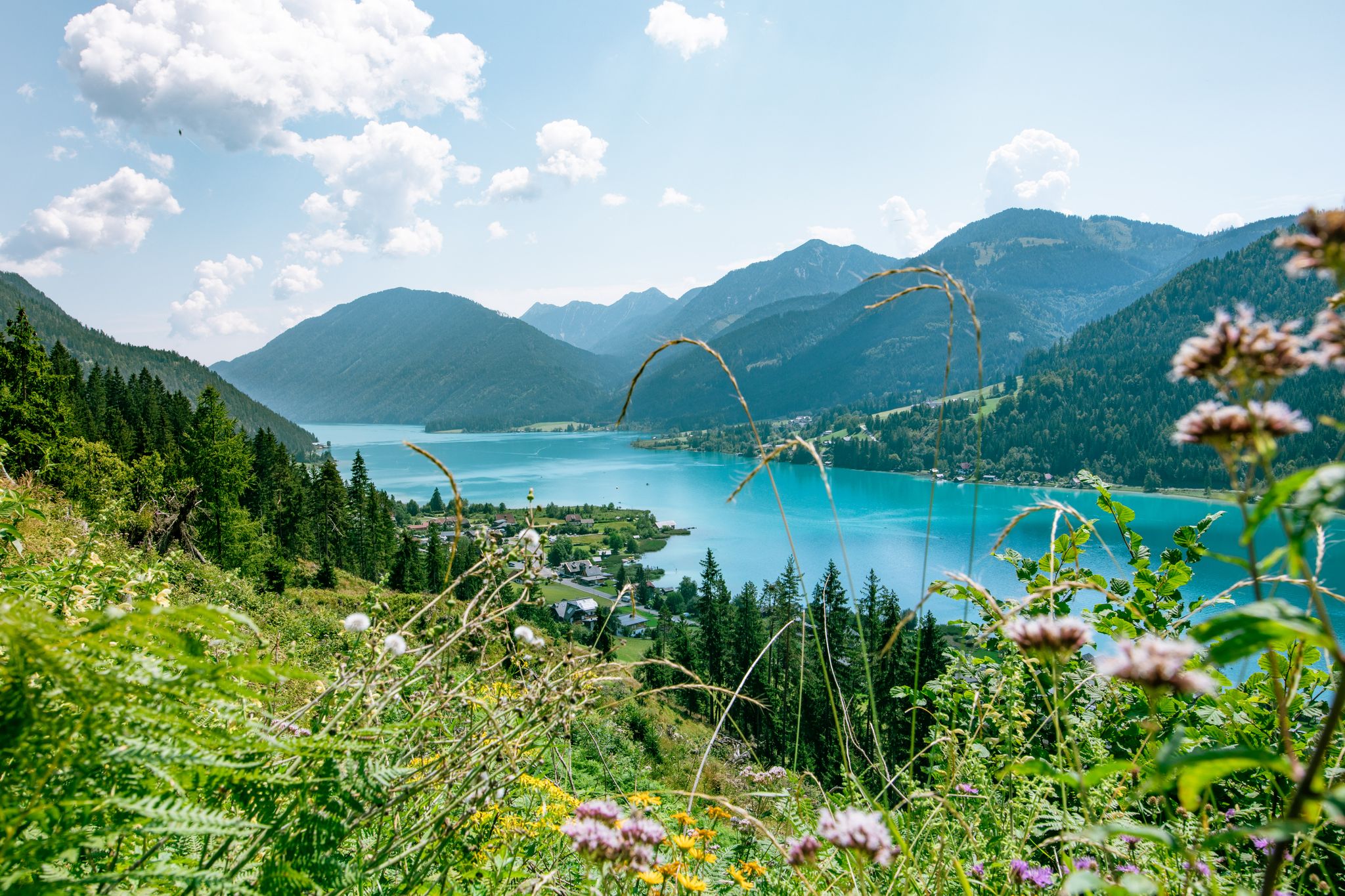
즐거움과 고고대 탐험 - 와이센제 호수 주변 하이킹
역사를 쓰다 - 트랜스콘티넨탈 레이스 #TCRN06
Auszeit auf der Alm – Wandern zu Kärntens schönsten Hütten
키르히바흐 MTB 트레일
키르히바흐 하이킹
키르히바흐 로드 사이클링 경로
키르히바흐 주변의 다른 모험


커뮤니티 팁


In southwest Carinthia – parallel to the Italian border – the Carnic Cycle Route runs along the Gail River. The cycle tour begins in Kötschach-Mauthen at the access point near the Gail Bridge and leads over some moderate climbs to Villach. Cycling along the Carnic Cycle Route opens up one of Carinthia's most charming landscapes. For the most part, you can cycle away from the main roads, past meadows, fields, and forests, enjoying beautiful views of the mountains. Since the route is mostly flat, it is ideal for family tours.
0
0
The Trogkofel – our Italian friends list it as "Creta di Aip" in their hiking maps – can be climbed from a variety of angles and at all levels of difficulty. It all depends on your mood, your mood, and your own discretion. This suggested tour offers one of the somewhat easier ways to reach the summit, taking a variant of a tried-and-tested route via the "Uiberlacher Steig." However, you should check that you have all the necessary personal requirements and abilities for climbing the Trogkofel before you set off. This mountain is definitely not for the inexperienced: You must be absolutely sure-footed and experienced in rocky terrain, have absolutely no fear of heights, have sufficient fitness, and are well-equipped. Excellent mountain weather should also be a factor, as the Trogkofel is often shrouded in clouds and fog. And such impaired visibility, especially on the heavily karstified summit plateau during the descent, doesn't exactly contribute to optimal orientation. And since any necessary motivation will, as experience shows, also emerge during the course of the tour, nothing stands in the way of the ascent to the Trogkofel.
0
0


One of the most beautiful views from the Gailtal into the Nassfeld. A beautiful climb to Lake Constance on the Nassfeld Pass road also starts from here.
0
0

I'll give you a very simple tip: I recommend the Komoot app!🤣
1
0

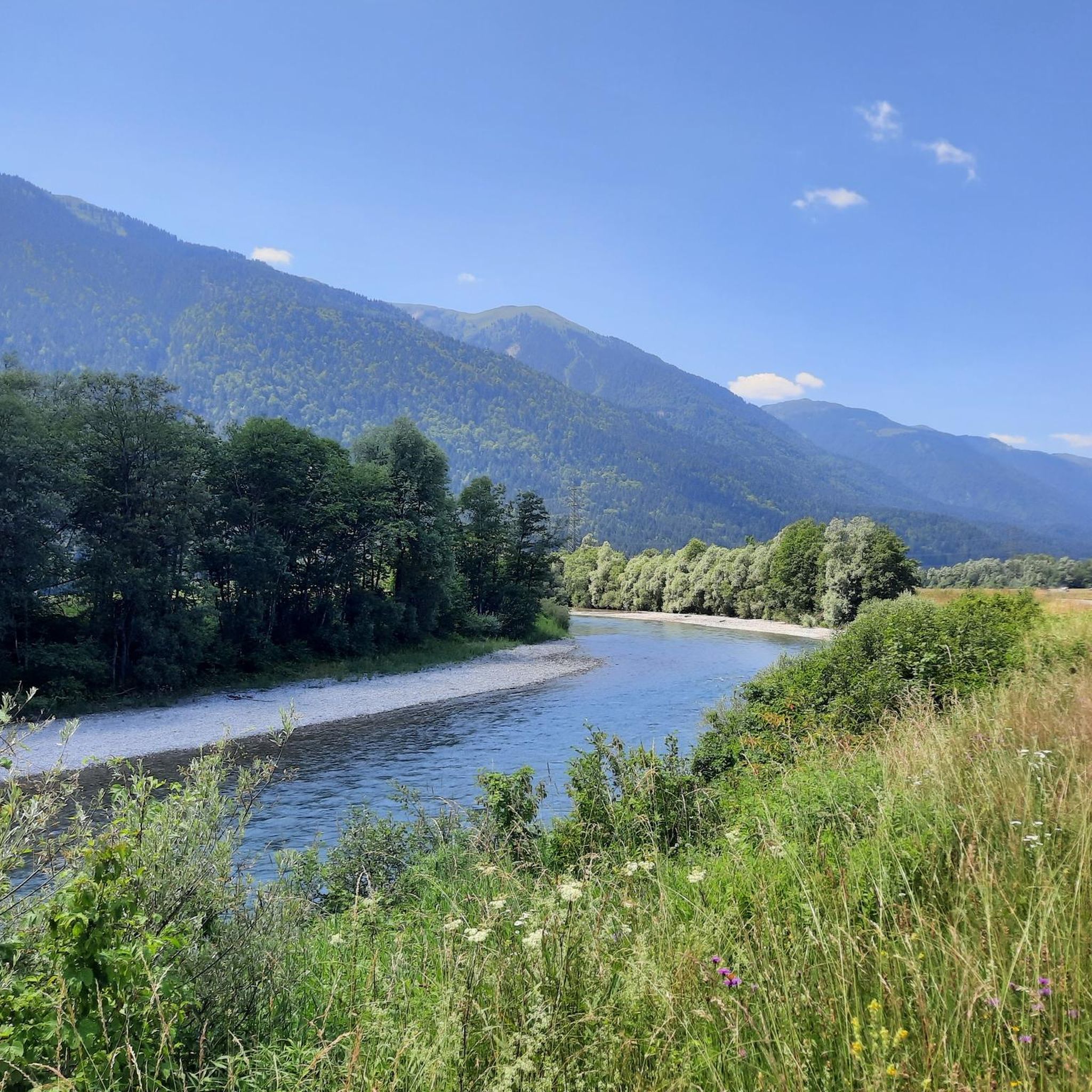
This time there was a lot of water in the Gail
3
0


더 살펴보기
다른 지역의 최고의 러닝 트레일 & 경로를 살펴보세요.
