백웰에서 가장 멋진 6개의 산 정상
백웰의 산 정상에 오르면 이 지역의 아름다운 모습을 제대로 구경할 수 있어요. 다만, 6
곳이나 되는 산 정상 중에서 어떤 곳을 가야 할 지 고민된다는 게 문제죠. 백웰에서 가장 멋진 산 정상을 살펴본 후에 마음에 드는 산 정상을 다음 모험 계획에 추가해보세요.
마지막 업데이트: 10월 11, 2026
Beacon Batch 정상 삼각점
하이라이트 • 전망대
팁에 의해

블랙 다운 정상과 야생 조랑말
하이라이트 • 자연
팁에 의해

이런 장소를 발견하려면 지금 가입하세요
최고의 싱글 트랙, 봉우리 및 다양한 흥미로운 야외 장소에 대한 추천을 받아보세요.
던드리 힐 이스트 최고점
하이라이트 • 전망대
팁에 의해

클리브 투트 언덕 요새
하이라이트 • 전망대
팁에 의해
무료로 가입하여 백웰 주변의 더 많은 봉우리를 발견하세요.
이미 komoot 계정이 있나요?
오늘 무료 계정으로 시작하세요
다음 모험이 기다리고 있어요.

커뮤니티 팁

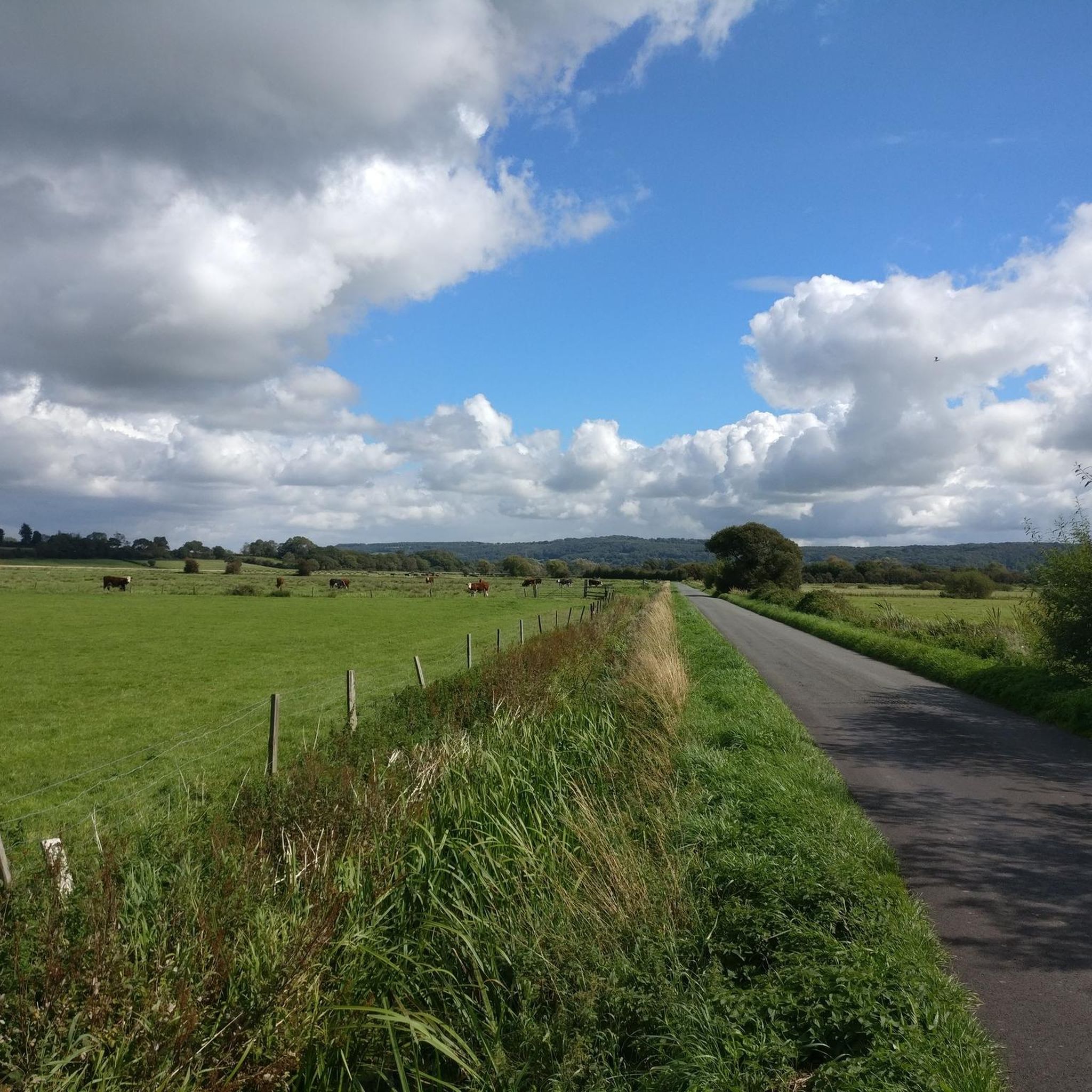
This hill, while lower than the surrounding ridges, provides great views from the top. Fern covered with several tracks crossing the slopes.
0
0

Black Down Hill or Beacons Batch is the highest hill in the Mendip Hills at 325m, Somerset, in south-western England. Black Down lies just a few miles eastward of the Bristol Channel at Weston-super-Mare, and provides a view over the Chew Valley. It has a trig pointed summit and is a UK designated Marilyn with a prominence of over 150m.
3
1
Dundry Hill East at 160m is one of the 184 UK County/Unitary High Points. It is the HP for the Unitary Authority of Bristol. The 'top' is actually in the field over the hedge at this point and on private land. Nothing much to look at or worth going to unless you are a Peak Bagger.
3
0

Cleeve Toot is an Iron Age univallate hillfort nestled in woodland above Goblin Combe. The oval-shaped settlement is approximately 410 feet (125 m) in length and 300 feet (90 m) wide. It is a Scheduled Ancient Monument.
2
0

This special site is designated as a Site of Special Scientific interest for its valuable wildlife habitats and is a nationally important site for its archaeology from the late Stone Age and Bronze Age through to the Second World War. Black Down provides the largest area of open access on the Mendip Hills at over 400 ha. Black Down, like most heathlands, is formed through a combination of factors– soil type, rainfall and human activity. The underlying Old Red Sandstone rock together with high rainfall created a waterlogged and acidic soil. The removal of tree cover by our Bronze Age ancestors 2,000 years ago helped to make sure that the soil stayed damp and acid. Only certain plants can survive in this type of ground. The key species include heather or ling, bell heather, bilberry, purple moor grass and European gorse, along with mosses and lichens. Now the bracken is managed by harvesting and grazing by cattle and wild ponies to allow the heathers and grasses to flourish again. Black Down supports a wide variety of birds, mammals, reptiles and invertebrates.
3
0
This special site is designated as a Site of Special Scientific interest for its valuable wildlife habitats and is a nationally important site for its archaeology from the late Stone Age and Bronze Age through to the Second World War. Black Down provides the largest area of open access on the Mendip Hills at over 400 ha. Black Down, like most heathlands, is formed through a combination of factors– soil type, rainfall and human activity. The underlying Old Red Sandstone rock together with high rainfall created a waterlogged and acidic soil. The removal of tree cover by our Bronze Age ancestors 2,000 years ago helped to make sure that the soil stayed damp and acid. Only certain plants can survive in this type of ground. The key species include heather or ling, bell heather, bilberry, purple moor grass and European gorse, along with mosses and lichens. Now the bracken is managed by harvesting and grazing by cattle and wild ponies to allow the heathers and grasses to flourish again. Black Down supports a wide variety of birds, mammals, reptiles and invertebrates.
3
1
Black Down is the highest area of the Mendip Hills and affords wonderful views across the Bristol Channel into Wales, over Weston-super-Mare, the Chew Valley, the Quantocks and beyond. There are many Bronze Age burial sites dotted around. You might also see the wild ponies strutting their stuff.
4
1
Beacon Batch is the highest point in the Mendip Hills Area of Outstanding Natural Beauty. From the trig point, you get breathtaking panoramic views that stretch over the Bristol Channel into Wales, over Weston-super-Mare, the Chew Valley and across the Mendips. There are Bronze Age burial mounds at the summit, too. A very special place with lots of great walking to enjoy all around.
3
2
백웰 주변에서 가장 인기 있는 명소


더 살펴보기
이 가이드를 통해 백웰 주변의 더 놀라운 정상들을 확인해보세요:
