20의 웨스트 칠턴가지 명소 & 주요 장소
웨스트 칠턴에는 둘러볼 만한 장소가 많답니다. 하이킹 또는 사이클링을 좋아한다면 웨스트 칠턴에 숨겨진 20
가지 보석을 만날 수 있을 거예요. 이 지역의 주요 명소를 살펴보면서 다음 모험을 계획해보세요.
마지막 업데이트: 8월 30, 2026
챈크턴버리 링 언덕 요새
하이라이트 • 역사적 장소
팁에 의해

West Grinstead 역
하이라이트 • 역사적 장소
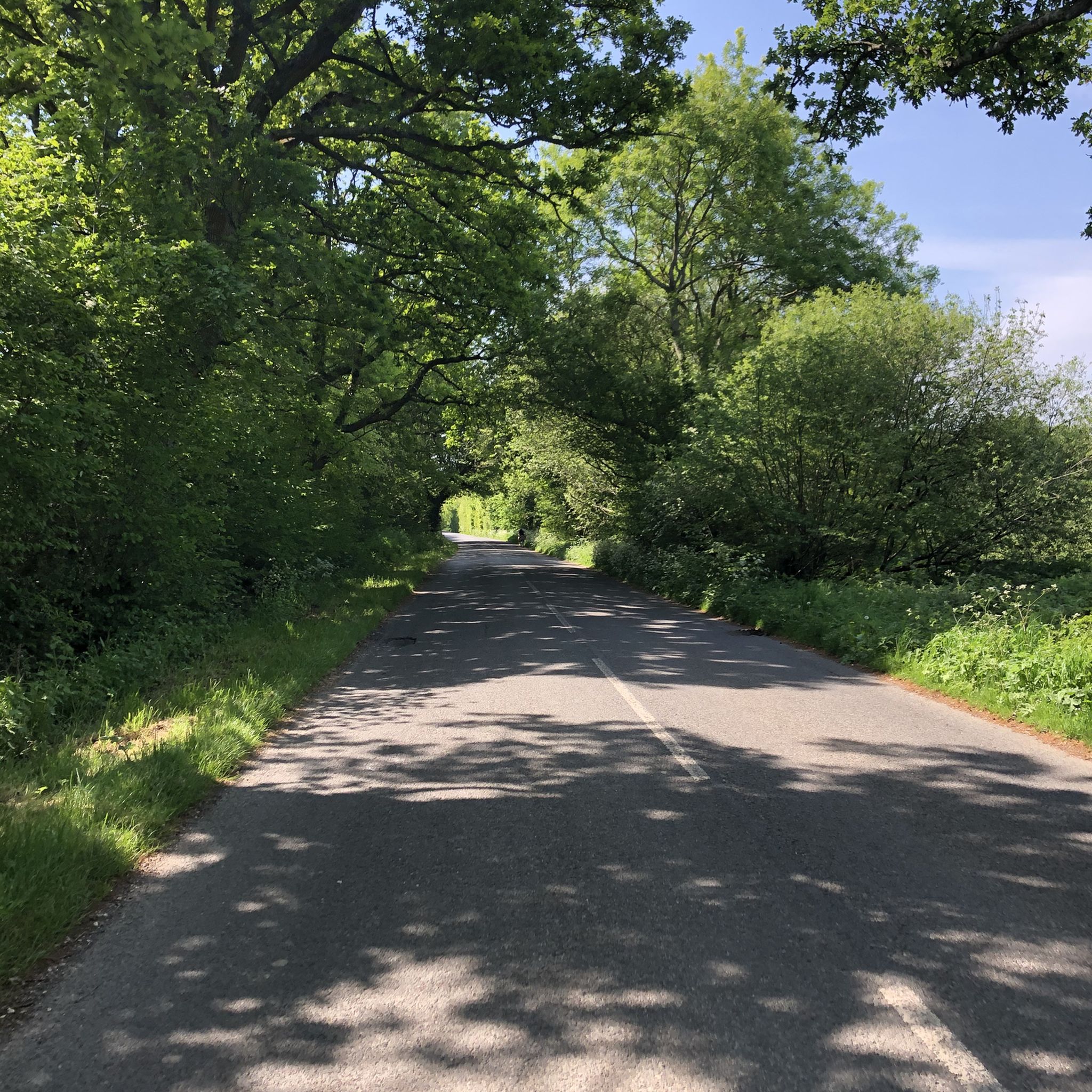
There is a "family restaurant" coffee place just off the track by the road.
팁에 의해

이런 장소를 발견하려면 지금 가입하세요
최고의 싱글 트랙, 봉우리 및 다양한 흥미로운 야외 장소에 대한 추천을 받아보세요.
무료 회원 가입

비그너 힐 정상과 로마 도로 이정표
하이라이트 • 기념물
팁에 의해
Bedham 올드 교회
하이라이트 • 종교적 장소
팁에 의해

무료로 가입하여 웨스트 칠턴 주변의 더 많은 명소를 발견하세요.
무료 회원 가입
이미 komoot 계정이 있나요?
오늘 무료 계정으로 시작하세요
다음 모험이 기다리고 있어요.
로그인 또는 가입하기
커뮤니티 팁


These old windmills are the best proof that people were clever enough a number of centuries ago - long before the discovery of electricity and the inventions that resulted from it - to harness the power of the elements for their own purposes: no human or animal muscle power is needed for the grinding process, but the wind captured by the covered wings is enough to drive the heavy millstones and thus, for example, to grind flour from grain (grain mills) or to press oil from olives (oil mills). Often they are only technical and historical evidence of a long tradition of craftsmanship, because most of the old mills have been abandoned over time.
2
0
Nowadays, only a few of them are still in operation in their original function, but are often merely technical and historical monuments to a long tradition of craftsmanship: the heavy millstones inside were moved using the power of the wind as the driving force, for example to grind grain into flour (so-called grain mills) or to press oil from fruits (e.g. olives) (so-called oil mills). These old windmills are therefore the best proof that people were clever enough to harness the power of the wind a number of centuries ago - long before the discovery of electricity and the inventions that followed.
2
0

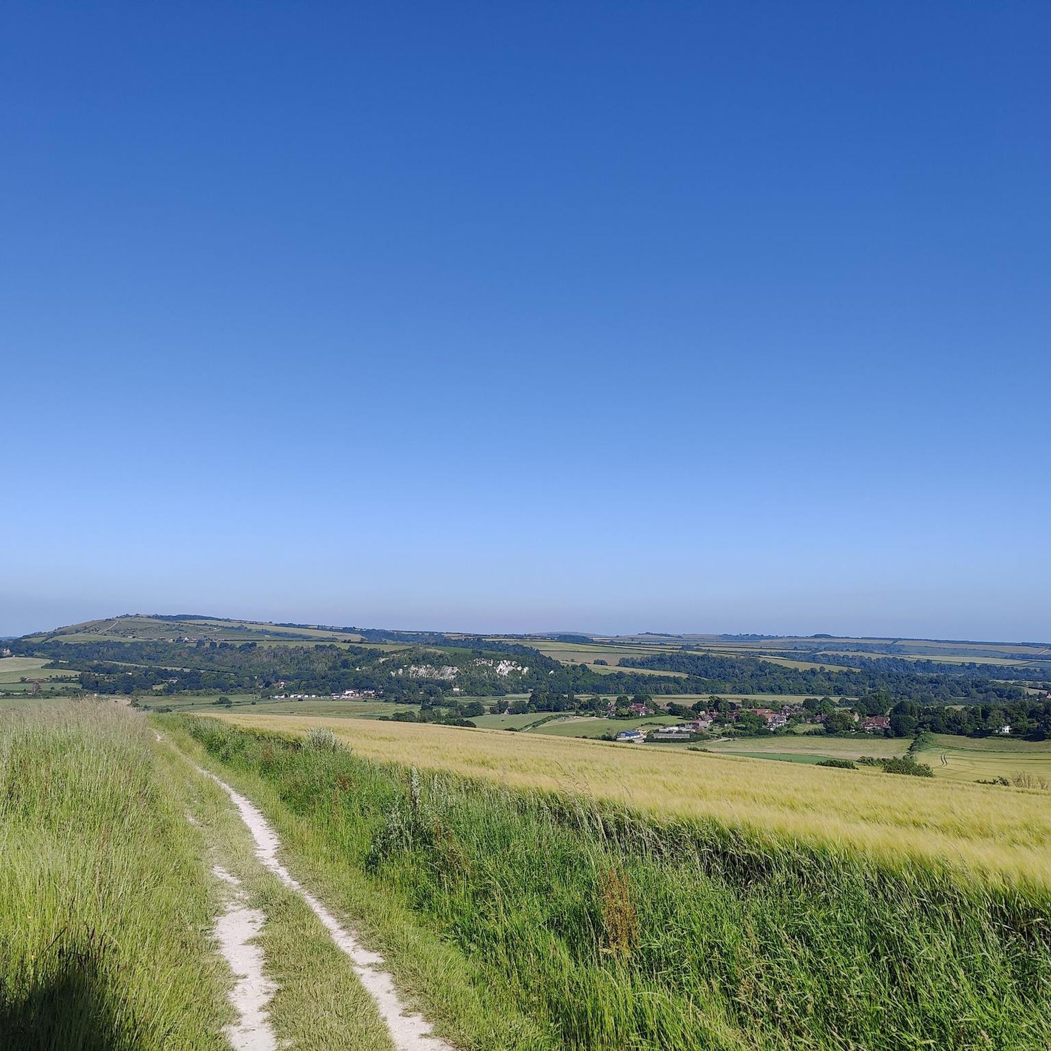
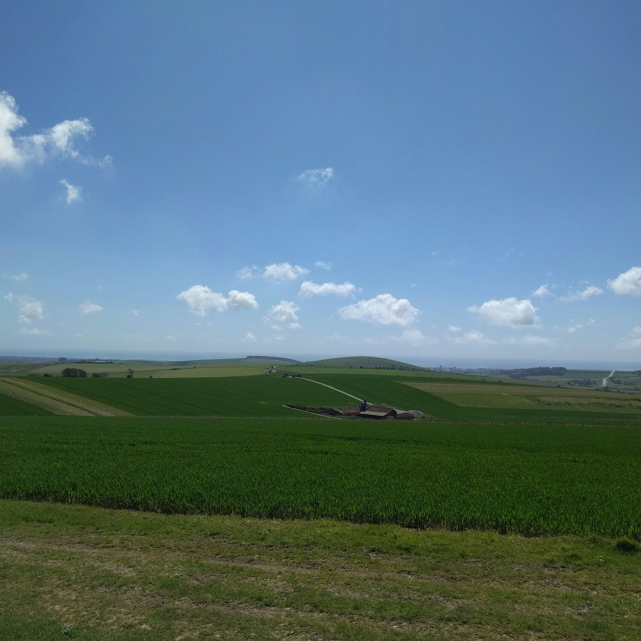
Chanctonbury Ring is a prehistoric hill fort atop Chanctonbury Hill on the South Downs, on the border of the civil parishes of Washington and Wiston in the English county of West Sussex. It is 242m high and is a designated Marilyn. There is a trig point on a nearby sub-summit.
3
0

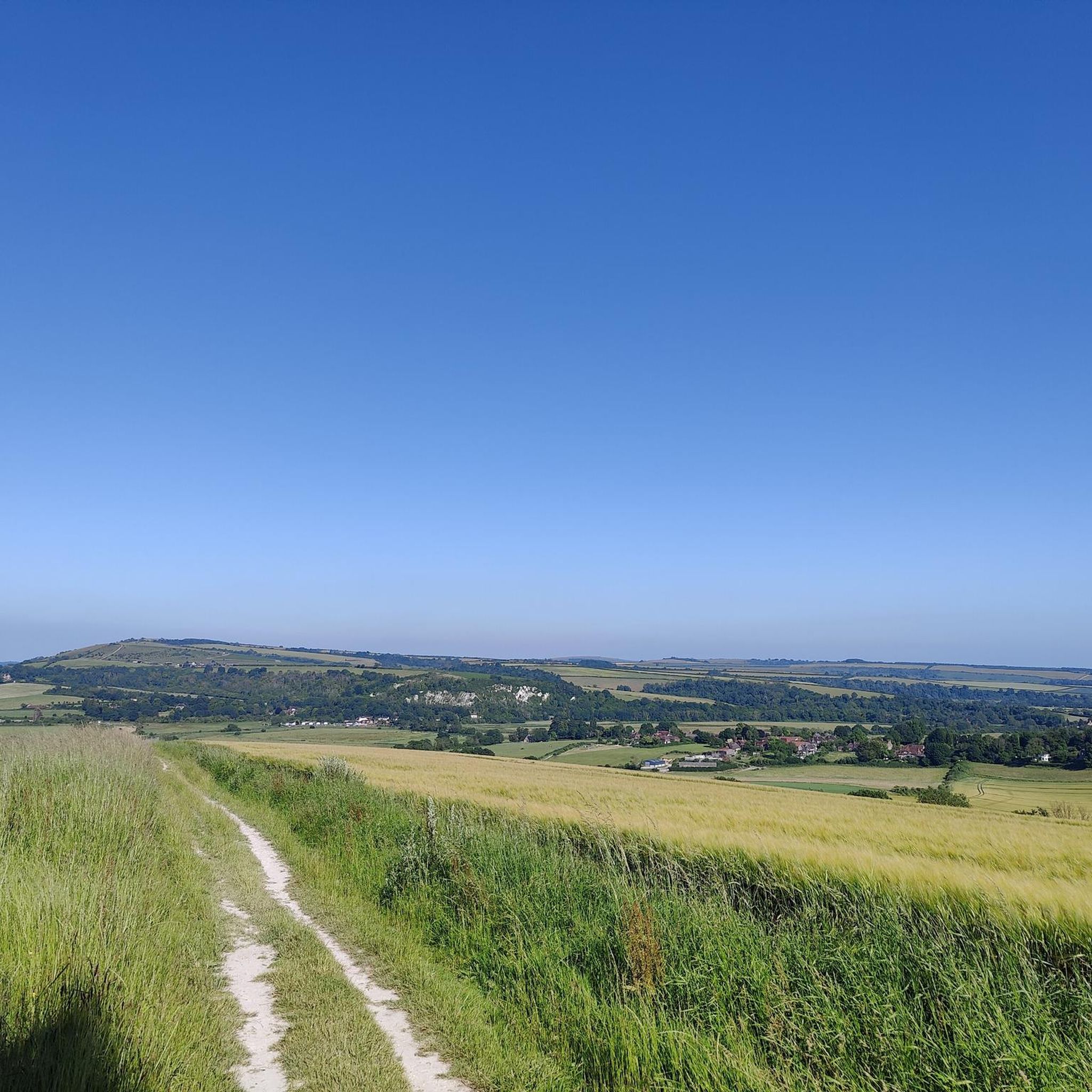
Part of the Slindon Estate, Bignor Hill is an area managed by the National Trust. It's a prominent viewpoint on the South Downs Way, rising to a height of 699 feet (213 m). It features a Roman road sign pointing towards Londinium (London) and Noviomagus Reginorum (Chichester). The sign lies on an intersection of the ancient Roman road known as Stane Street, which connected these cities. Bignor Hill was a strategic location on Stane Street with its high elevation and commanding views of the surrounding countryside.
2
0
From Wakestone Lane, don't miss these striking ruins situated in the valley below, just off a leafy bridleway. Standing proud are the remains of an abandoned church and school known as St Michaels and All Angels Anglian Church. It was built in 1800 but shut its doors for the last time in 1959 due to a dwindling congregation.
0
0

Was a railway station on the Steyning Line which served the village of West Grinstead. It had a goods yard with a cattle loading bay and facilities for handling horse boxes. With the hunt kennels and national stud based in the area, the station saw substantial horse traffic The station closed as a result of the Beeching Axe in 1966 and now forms part of the Downs Link footpath.
2
0
웨스트 칠턴 주변에서 가장 인기 있는 명소


더 살펴보기
찾고 있는 하이라이트를 아직 못 찾으셨나요? 다른 지역의 주요 명소 가이드를 확인해보세요:
