틴틴헐 최고의 러닝 경로
4.5
(74)
6,697
달리기 하는 사람
515
러닝
틴틴헐에서 하이킹하며 사우스 서머셋 구석 부분까지 살펴볼까요? 틴틴헐에 있는 모든 하이킹 및 워킹 경로 컬렉션 중 가장 멋진 하이킹 경로를 엄선하여 소개해드릴게요. 다른 하이커가 공유한 실제 팁과 사진을 살펴보고 후기를 읽으며 마음에 드는 틴틴헐 워킹 경로를 찾아보세요.
마지막 업데이트: 10월 13, 2026
19
달리기 하는 사람
7.47km
00:47
60m
60m
보통 조깅. 좋은 체력 필요. 대부분 포장된 지면. 실력과 관계없이 누구나 갈 수 있음.
11
달리기 하는 사람
6.12km
00:40
90m
90m
보통 조깅. 좋은 체력 필요. 대부분 포장된 지면. 실력과 관계없이 누구나 갈 수 있음.

11
달리기 하는 사람
6.48km
00:40
20m
20m
보통 조깅. 좋은 체력 필요. 대부분 포장된 지면. 실력과 관계없이 누구나 갈 수 있음.
6
달리기 하는 사람
13.7km
01:28
160m
160m
보통 조깅. 좋은 체력 필요. 대부분 포장된 지면. 실력과 관계없이 누구나 갈 수 있음.
6
달리기 하는 사람
12.1km
01:20
130m
130m
보통 조깅. 좋은 체력 필요. 대부분 포장된 지면. 실력과 관계없이 누구나 갈 수 있음.
더 다양한 경로와 다른 탐험가들의 추천을 살펴보세요.
이미 komoot 계정이 있나요?
투어 추천은 다른 사람들이 komoot에서 완료한 수천 개의 활동을 바탕으로 구성되어 있습니다.
오늘 무료 계정으로 시작하세요
다음 모험이 기다리고 있어요.
틴틴헐 주변 인기 장소


커뮤니티 팁


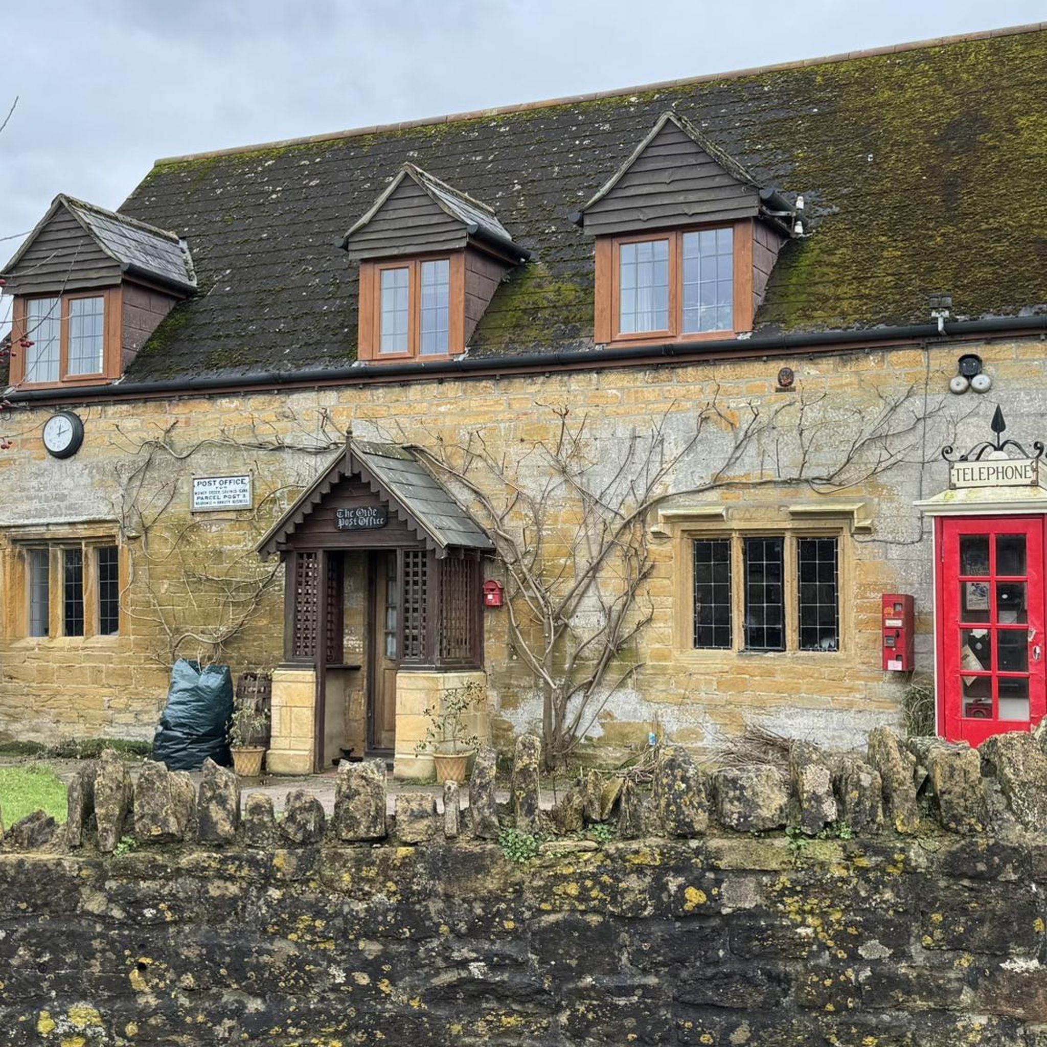
The ancient parish of Thorn Coffin, known since 1884 as Thorne, (fn. 1) lies 2 miles north-west of Yeovil. It measured 413 a. in 1901, (fn. 2) and since 1933 has formed part of the civil parish of Brympton. (fn. 3) It is irregular in shape: its northern boundary with Chilthorne Domer follows, with slight deviations, the Yeovil-Tintinhull road, and was marked c. 1300 by Thorn Ditch. (fn. 4) Part of its southern boundary with Brympton and Lufton is aligned with Thorn Lane, the road from the hundred stone of Stone to Montacute. At the Oaks, however, it leaves the road and runs (fn. 5) southwards towards Lufton, field boundaries at that point suggesting the line of an earlier road or track. The western limit of the parish has a protrusion reaching Montacute and including meadow land known as Castle Leasne in the 17th century (fn. 6) and Castle Leaze in the nineteenth. (fn. 7) The name is a possible indication of an early attachment to Montacute castle. https://www.british-history.ac.uk/vch/som/vol3/pp250-255
0
0

Can be viewed from the road at the corner of Lower Hyde Road
1
0
Amazing coffee and lush cake. Lovely friendly cafe. Open in the week but also Sunday 10am to 1pm
0
0

Hollow Lane is a great example of a Hollow Way, a sunken lane typical of this area of the country. These ancient lanes are cut into the landscape but we're not entirely sure why. It could be simply due to erosion by booth people and animals over 100s of years, exacerbated by water run off. They may also have been cut initially to make animal heading easier and to provide protection from the weather. What ever the cause they make for very atmospheric riding!
0
1
Montacute house driveway, gates locked and small Ham Stonewall at the end.
2
0
The Anglican Church of St Catherine at Montacute within the English county of Somerset was first built in the 12th century. It is a Grade II* listed building.
1
0
틴틴헐 주변에서 가장 인기 있는 경로
틴틴헐 주변에서 가장 인기 있는 명소


더 살펴보기
다른 지역의 최고의 러닝 트레일 & 경로를 살펴보세요.
