포이닝 최고의 워킹 & 하이킹 경로
4.5
(1805)
18,876
등산객
49
하이킹
Komoot에 등록된 포이닝 내 트레일 및 경로 컬렉션 중에서 하이킹과 워킹을 가장 멋지게 즐길 수 있는 곳을 알려드릴게요. 아래에서 각 경로의 상세 정보를 모두 확인한 후, 포이닝 속 자연에서 즐거운 시간을 누려보세요.
마지막 업데이트: 10월 10, 2026
4.4
(32)
131
등산객
4.04km
01:14
140m
140m
Embark on the Devil's Dyke loop, an easy hike spanning 2.5 miles (4.0 km) with a gentle elevation gain of 468 feet (143 metres). You can comfortably complete this route…
4.3
(32)
104
등산객
10.4km
02:57
210m
210m
Hike the moderate 6.4-mile Devil's Dyke, Edburton & Poynings loop for panoramic views across the South Downs National Park.

4.7
(13)
67
등산객
13.0km
03:40
270m
270m
Embark on the Fulking loop from Devil's Dyke, a moderate hiking adventure that covers 8.0 miles (13.0 km) and involves an elevation gain of 891 feet (272 metres). You can…
4.7
(14)
48
등산객
14.7km
04:06
280m
280m
Embark on the Thundersbarrow Hill loop from Devil's Dyke, a moderate 9.1-mile (14.7 km) hike that typically takes around 4 hours and 6 minutes to complete. You will climb about…
3.8
(8)
32
등산객
7.79km
02:19
220m
210m
보통 하이킹. 좋은 체력 필요. 실력과 관계없이 누구나 쉽게 갈 수 있는 길.
더 다양한 경로와 다른 탐험가들의 추천을 살펴보세요.
이미 komoot 계정이 있나요?
투어 추천은 다른 사람들이 komoot에서 완료한 수천 개의 활동을 바탕으로 구성되어 있습니다.
오늘 무료 계정으로 시작하세요
다음 모험이 기다리고 있어요.

커뮤니티 팁

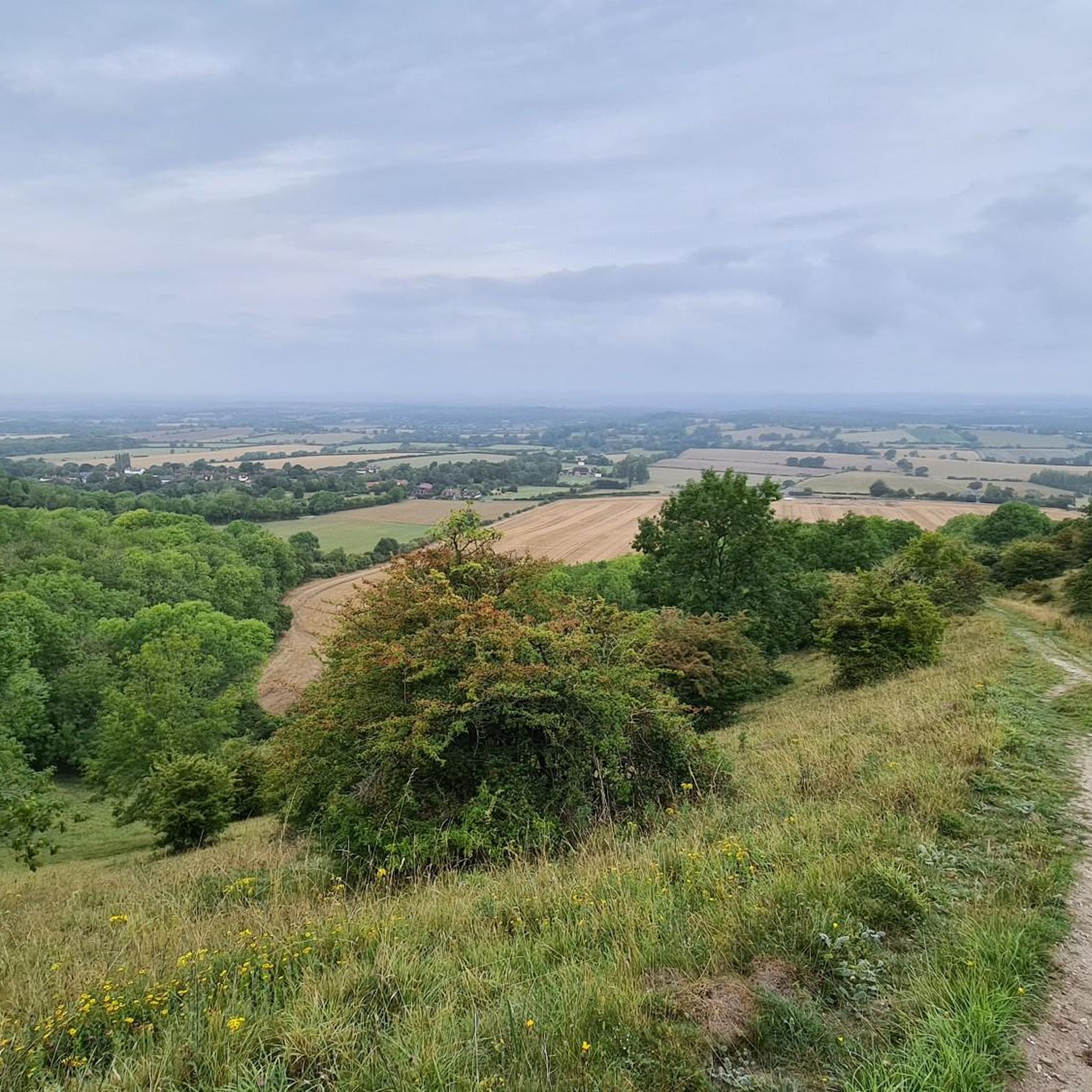
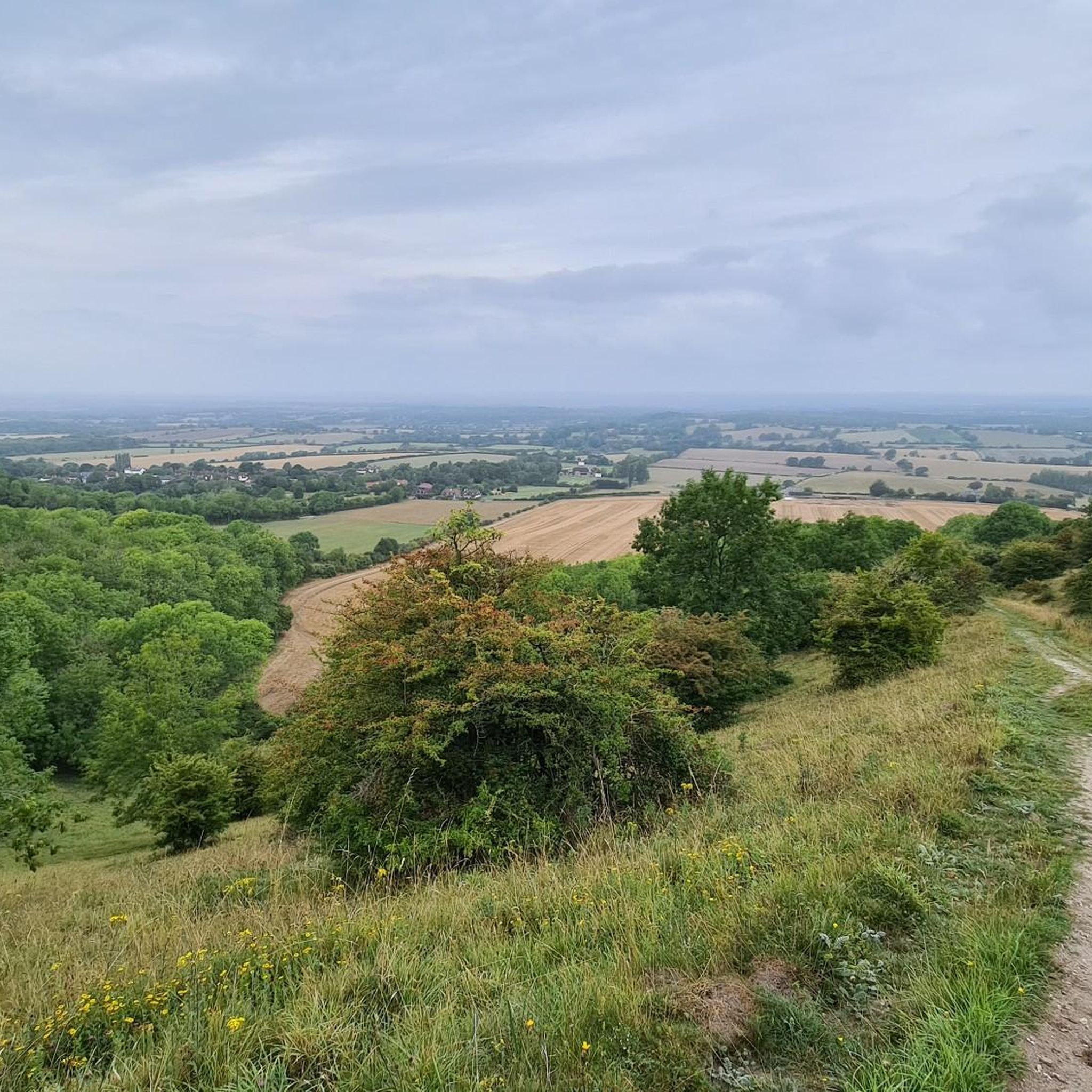
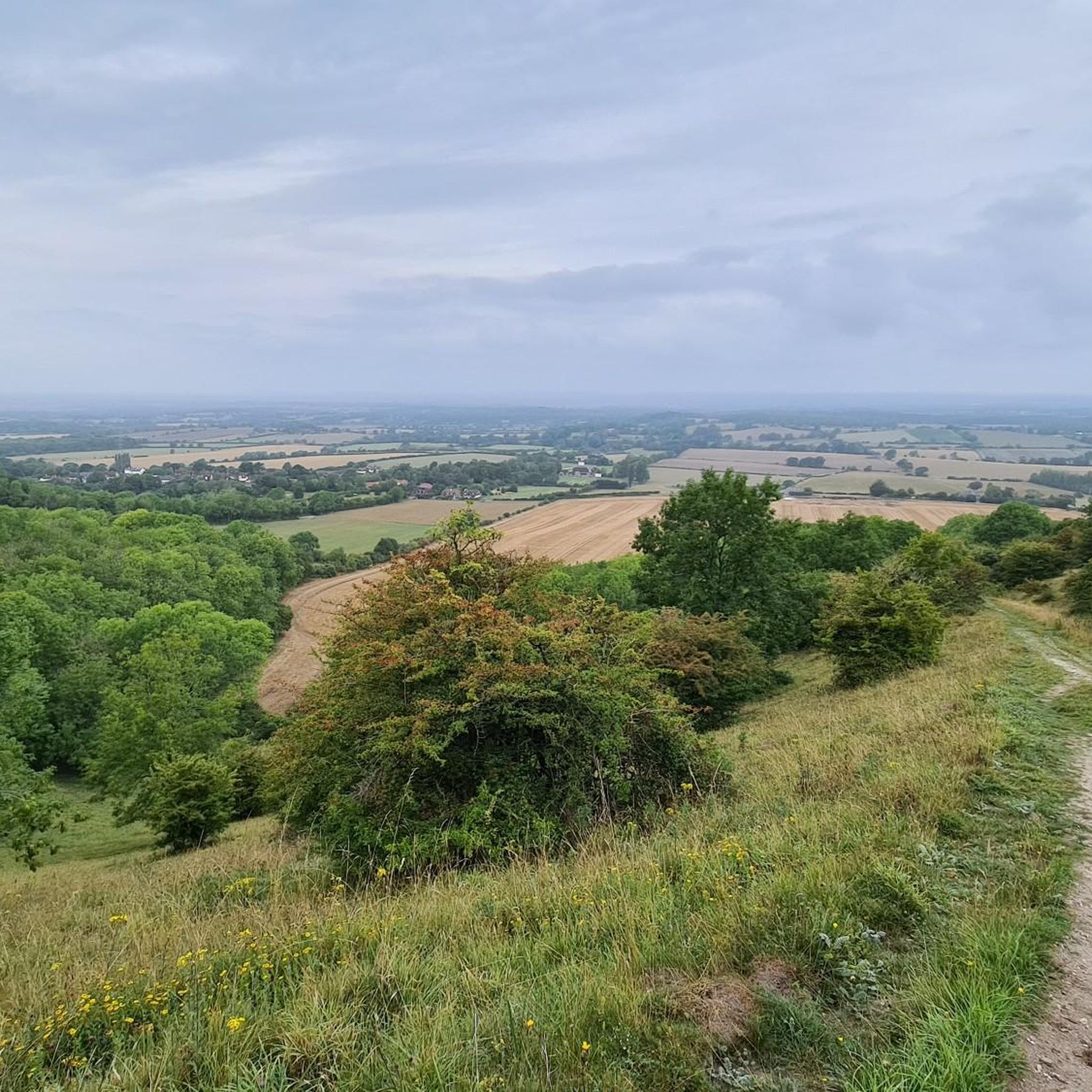
a great stop for sightseeing - no shade or cover but worth the view regardless
0
0

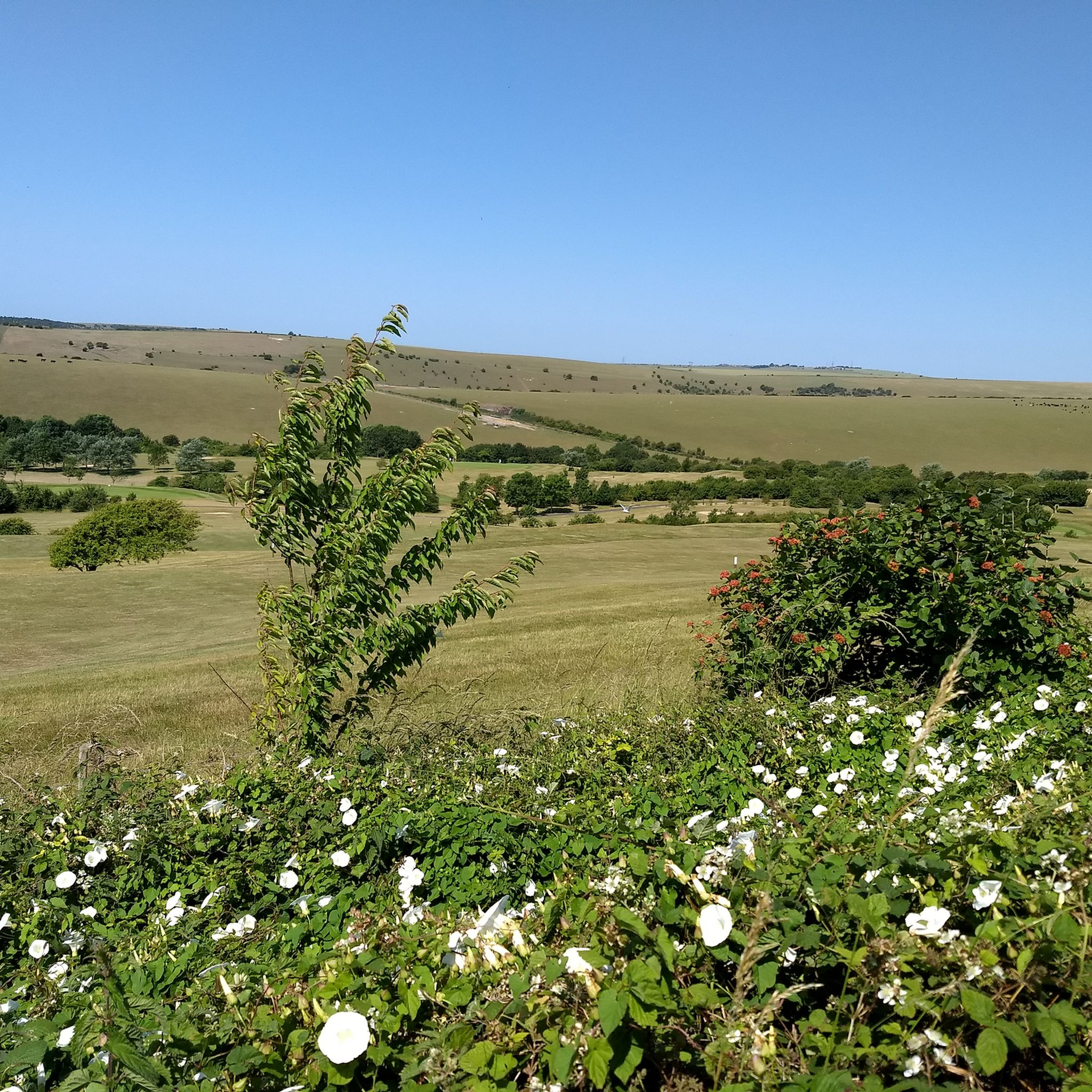
Devil’s Dyke is the largest chalk land dry combe in Britain and an area of great beauty. It is a V-shaped valley that has the South Downs Way traversing it immediately south of its location. It also has a multivallate Iron Age hill fort adjacent to it to the west, where on some high ground there is a trig pint that sits on the southern rampart of the fort. At just over 710 feet high (217 m), it is not very high, but the views out over Adder Bottom and the South Downs towards the coast are superb.
2
0
This is a beautiful spot, there is a trig point that is placed on one of the ramparts of the actual Iron Age hillfort here. It is very popular with walkers, and families. The valley bowl is also particularly beautiful.
1
0
Nice trig point placed on one of the actual ramparts of an Iron Age hillfort.
0
0
There are nice views down over beautiful South Downs countryside to be had from here.
0
0
A 'Sixpath' or a crossing of six footpaths sits on the Monarch's Way high above Shoreham On Sea. It literally joins and provides access to all of the local hiking routes. With commanding views you can see far out over the South Downs National Park and out into the English Channel. There is even a bench to enjoy it from. Apart from that it's not a bad spot!
1
0
A beautiful walking section on a pristine bridleway with gorgeous views on a sunny day.
0
0
This is a stunning viewpoint looking down on the flatter lands of the North. Perfectly manicured English countryside in all its glory.
0
0
포이닝 주변에서 가장 인기 있는 명소


더 살펴보기
다른 지역의 최고의 하이킹를 살펴보세요.
