세인트 존 (없이) 최고의 러닝 경로
4.4
(211)
15,118
달리기 하는 사람
498
러닝
세인트 존 (없이)에서 하이킹하며 루이스 구석 부분까지 살펴볼까요? 세인트 존 (없이)에 있는 모든 하이킹 및 워킹 경로 컬렉션 중 가장 멋진 하이킹 경로를 엄선하여 소개해드릴게요. 다른 하이커가 공유한 실제 팁과 사진을 살펴보고 후기를 읽으며 마음에 드는 세인트 존 (없이) 워킹 경로를 찾아보세요.
마지막 업데이트: 11월 1, 2026
117
달리기 하는 사람
9.35km
01:08
200m
190m
보통 조깅. 좋은 체력 필요. 대부분 포장된 노면.
68
달리기 하는 사람
27.4km
03:06
670m
670m
어려운 조깅. 우수한 체력 필요. 대부분 포장된 노면.

30
달리기 하는 사람
11.4km
01:23
260m
260m
보통 조깅. 좋은 체력 필요. 대부분 포장된 노면.
26
달리기 하는 사람
9.31km
01:03
160m
160m
보통 조깅. 좋은 체력 필요. 대부분 포장된 노면.
5.0
(1)
24
달리기 하는 사람
9.54km
01:06
170m
170m
보통 조깅. 좋은 체력 필요. 대부분 포장된 노면.
더 다양한 경로와 다른 탐험가들의 추천을 살펴보세요.
이미 komoot 계정이 있나요?
투어 추천은 다른 사람들이 komoot에서 완료한 수천 개의 활동을 바탕으로 구성되어 있습니다.
오늘 무료 계정으로 시작하세요
다음 모험이 기다리고 있어요.
커뮤니티 팁


This is the beginning of a nice downhill track through Bluebells in Stanmer Park which is a designated MTB trail park.
1
0

This is a wonderful stretch of track running just below Mount Harry, and it continues below Black Cap too before it joins the South Down Way at the Beeches. A great biking section overall.
1
0

Blue graded trail and one of the steepest in Stamner Park. Small drop to start off with then into a couple of jumps.
0
0
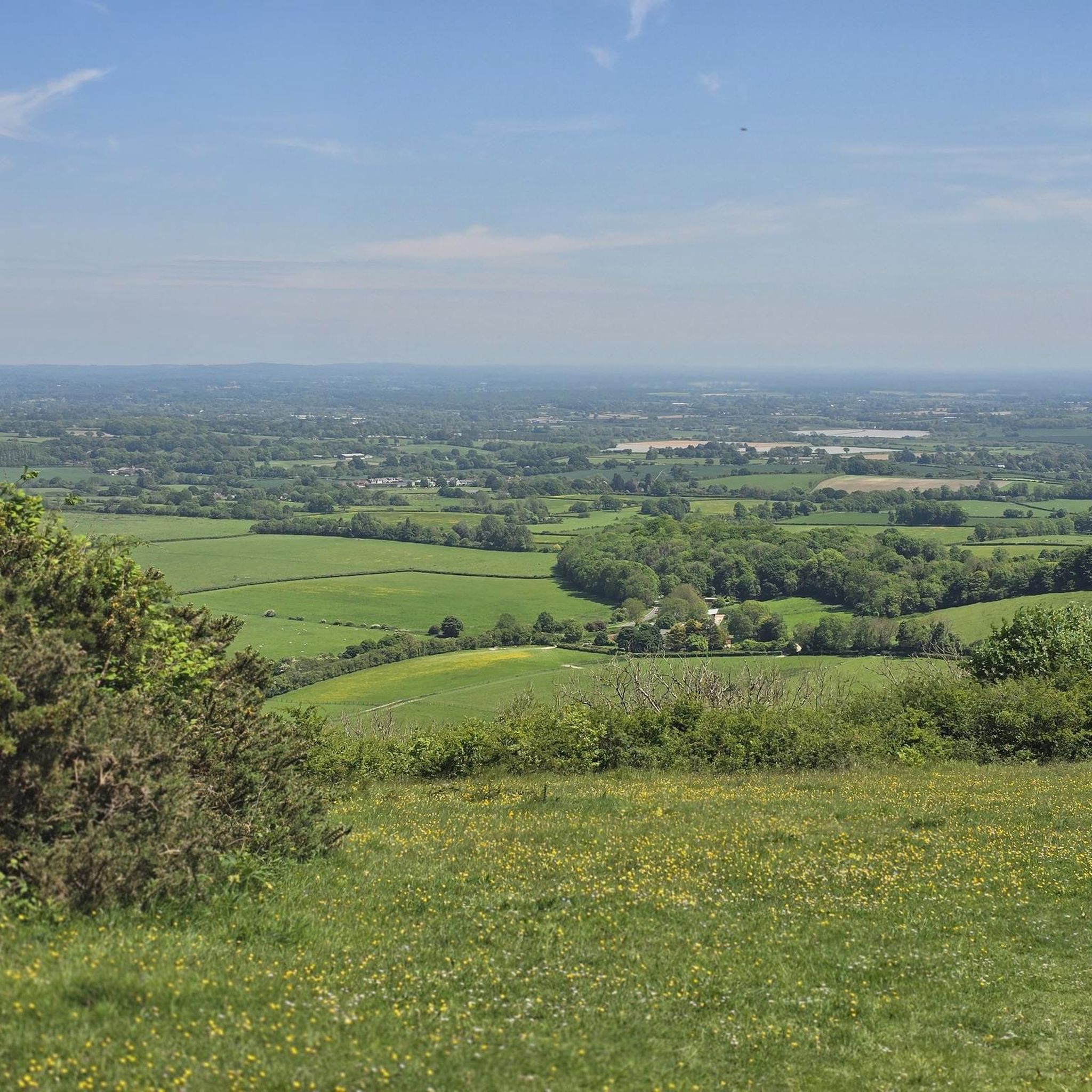
Devil’s Dyke is the largest chalk land dry combe in Britain and an area of great beauty. It is a V-shaped valley that has the South Downs Way traversing it immediately south of its location. It also has a multivallate Iron Age hill fort adjacent to it to the west, where on some high ground there is a trig pint that sits on the southern rampart of the fort. At just over 710 feet high (217 m), it is not very high, but the views out over Adder Bottom and the South Downs towards the coast are superb.
2
0
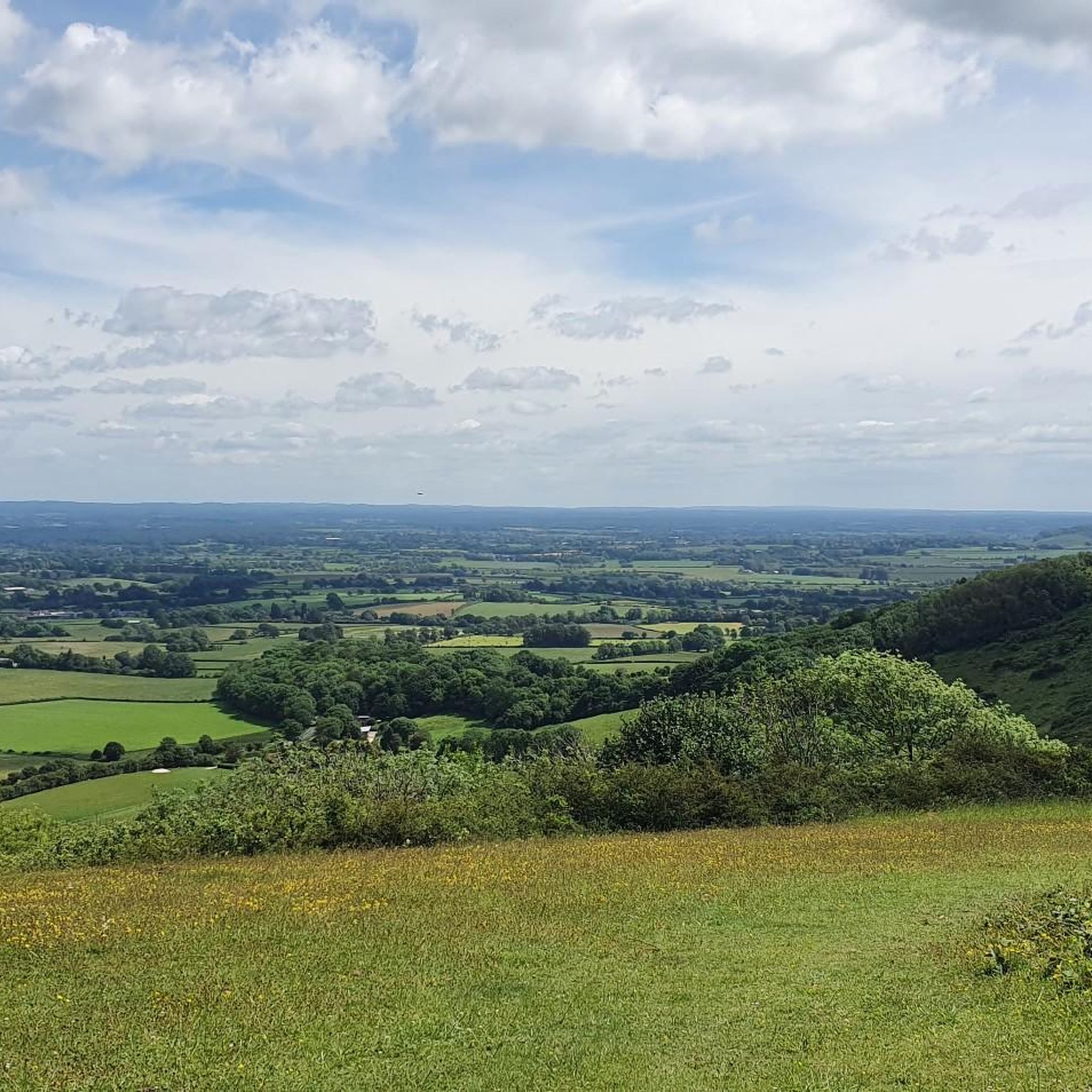
At over 650 feet (200 m), Ditchling Beacon gives you a good climb and a great vantage point to see out over the surrounding countryside. To the north you look back at the lush countryside of the Weald, to the south are views of Brighton, and to the east and west, the rolling undulating views out over the South Downs.
1
1

Do not enter or risk 20k fine!
0
0
세인트 존 (없이) 주변에서 가장 인기 있는 명소


더 살펴보기
다른 지역의 최고의 러닝 트레일 & 경로를 살펴보세요.
