20의 뻔뻔한가지 명소 & 주요 장소
뻔뻔한에는 둘러볼 만한 장소가 많답니다. 하이킹 또는 사이클링을 좋아한다면 뻔뻔한에 숨겨진 20
가지 보석을 만날 수 있을 거예요. 이 지역의 주요 명소를 살펴보면서 다음 모험을 계획해보세요.
마지막 업데이트: 10월 9, 2026
베리 스톤 다리와 여울목
하이라이트 • 다리
팁에 의해

배츠 캐슬 철기 시대 언덕 요새
하이라이트 • 역사적 장소
팁에 의해

이런 장소를 발견하려면 지금 가입하세요
최고의 싱글 트랙, 봉우리 및 다양한 흥미로운 야외 장소에 대한 추천을 받아보세요.
드로브 로드, 콴톡 힐스
하이라이트 (구간) • 트레일
팁에 의해

레이디스 엣지 트레일
하이라이트 (구간) • 트레일
Starting from Bicknoller Post, it carves down …
팁에 의해

오늘 무료 계정으로 시작하세요
다음 모험이 기다리고 있어요.
커뮤니티 팁

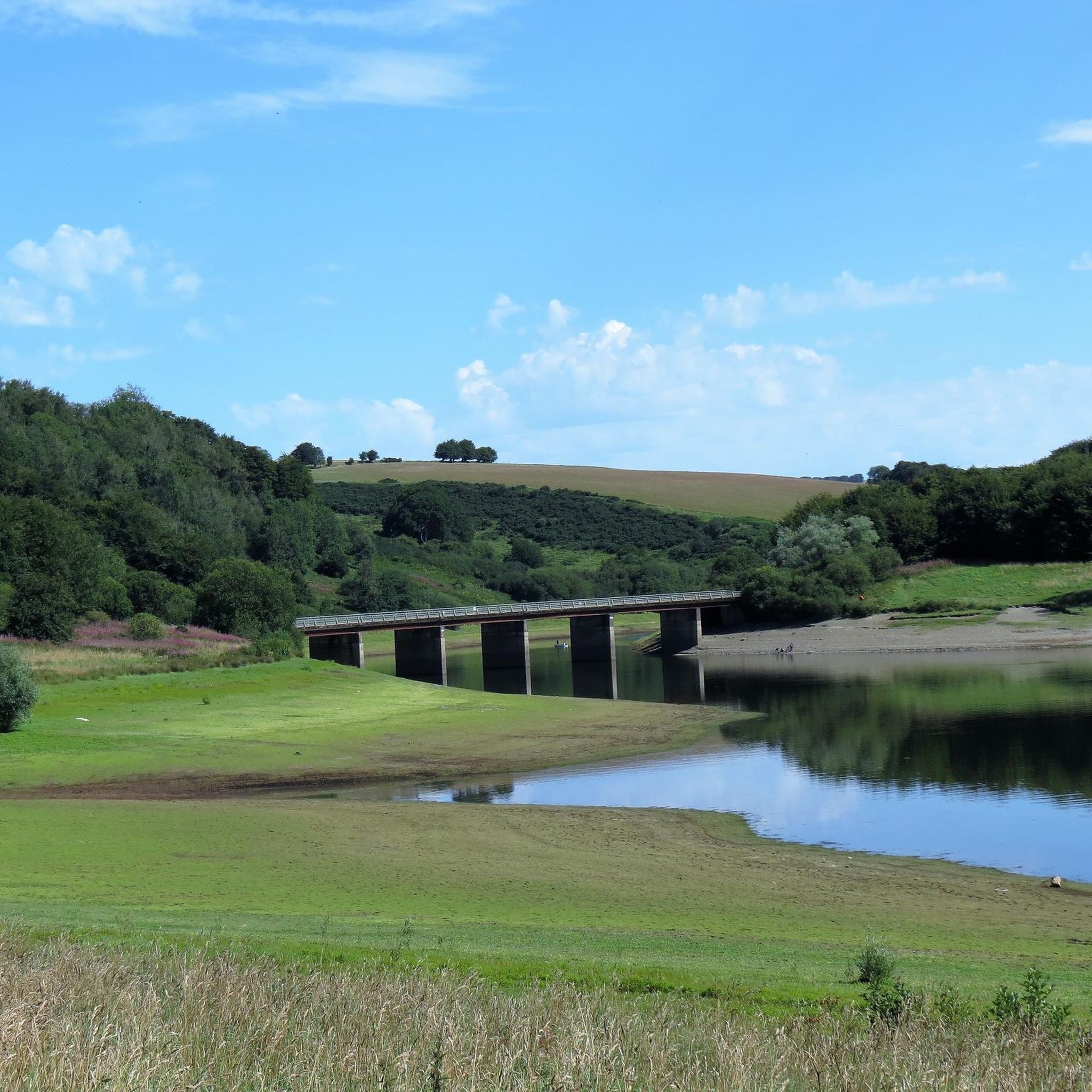
A lovely ford with a beautiful bridge. a warm day. very nice to paddle the feet
0
0
came across this gorgeous bridge with the ford in front of it. a lovely place to stop to paddle your feet
0
0

Heading west from the Triscombe Stone, you will find yourself on a Saxon Army route, or ‘herepath’, known as King Alfred’s Way, marking his route to resist Viking invasion in the 9th century. Also known as The Drove Road, for centuries, the route was well-used by local farmers moving cattle and sheep to the market in Taunton.
1
0
Bats Castle is an Iron Age hillfort at the top of a 213-metre high hill in the parish of Carhampton south south west of Dunster in Somerset, England The site was identified in 1983 after some schoolboys found eight silver-plated coins dating from 102BC to AD350. It is on the highest point of Gallox Hill.
2
0
Bury Bridge at Bury in the parish of Brompton Regis within the English county of Somerset is a medieval packhorse bridge. It has been scheduled as an ancient monument and Grade II* listed building. The stone bridge carries a track over the River Haddeo.
1
0
It lies on the southeastern fringe of Exmoor National Park, though it is separated from the Exmoor massif itself by the valleys of the rivers Haddeo and Exe, the highest point of 1,164ft
1
0

The Drove is an exceptional pathway, once an old drove road, that runs through the heart of the Quantock Hills Area of Natural Beauty. The road is a mixture of open grasslands with far-reaching views and towering woodlands with a cosy, majestic feel. The road is also a great place for spotting some of the Quantocks fabulous residents, the Highland Cow.
4
0

This is an Iron Age hillfort located very close to Dunster, from which you'll have good views of the surrounding area.
1
0
뻔뻔한 주변에서 가장 인기 있는 경로
뻔뻔한 주변에서 가장 인기 있는 명소


더 살펴보기
찾고 있는 하이라이트를 아직 못 찾으셨나요? 다른 지역의 주요 명소 가이드를 확인해보세요:
