녹홀트 최고의 워킹 & 하이킹 경로
4.5
(2479)
14,076
등산객
13
하이킹
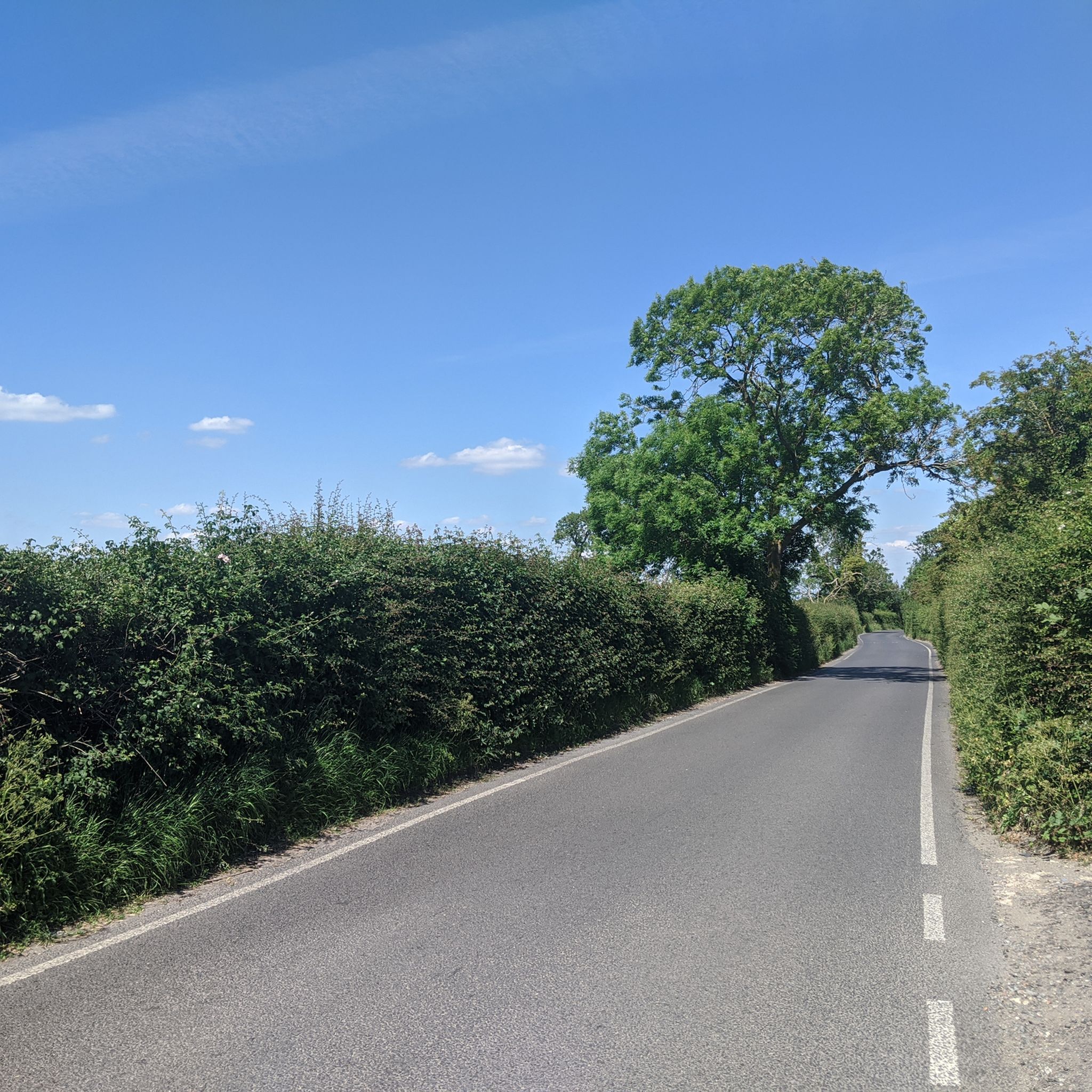
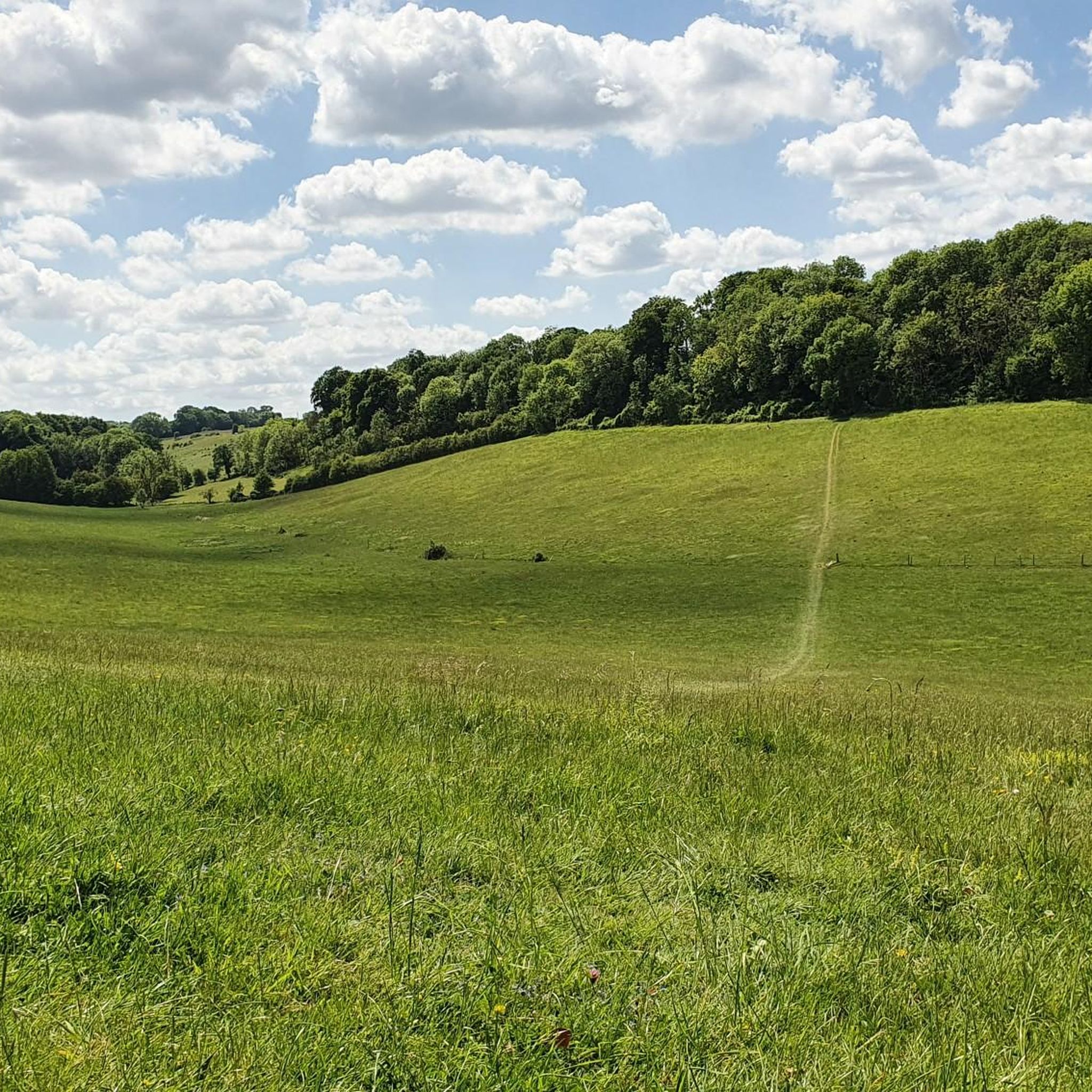
Knockholt 주변 하이킹은 North Downs의 석회암 절벽에 위치한 Kent Downs 자연 경관이 뛰어난 지역을 탐험합니다. 이 지역은 구불구불한 언덕, Roughfields Wood 및 Knockholt Wood와 같은 고대 삼림, 탁 트인 초원으로 특징지어집니다. 지형은 잘 표시된 보행로와 North Downs Way를 포함한 장거리 트레일 구간이 혼합되어 있습니다. 석회암 능선은 독특한 지질 형성에 기여하고 높은 전망 지점을 제공합니다.
Knockholt 주변 최고의 하이킹 트레일
- 가장 인기 있는 하이킹 코스는 Knockholt에서 출발하는 St Botolph 교회, Chevening – Kent Downs 계곡 전망 루프로, 5.0마일(8.1km) 길이이며 완료하는…
마지막 업데이트: 9월 7, 2026
4.8
(50)
170
등산객
8.09km
02:16
150m
150m
보통 하이킹. 좋은 체력 필요. 실력과 관계없이 누구나 쉽게 갈 수 있는 길.
5.0
(1)
4
등산객
7.90km
02:10
120m
120m
보통 하이킹. 좋은 체력 필요. 실력과 관계없이 누구나 쉽게 갈 수 있는 길.

7
등산객
8.69km
02:22
130m
130m
보통 하이킹. 좋은 체력 필요. 실력과 관계없이 누구나 쉽게 갈 수 있는 길.
10
등산객
19.7km
05:34
410m
410m
어려운 하이킹. 우수한 체력 필요. 실력과 관계없이 누구나 쉽게 갈 수 있는 길.
2
등산객
16.3km
04:23
200m
200m
보통 하이킹. 좋은 체력 필요. 실력과 관계없이 누구나 쉽게 갈 수 있는 길.
더 다양한 경로와 다른 탐험가들의 추천을 살펴보세요.
이미 komoot 계정이 있나요?
투어 추천은 다른 사람들이 komoot에서 완료한 수천 개의 활동을 바탕으로 구성되어 있습니다.
오늘 무료 계정으로 시작하세요
다음 모험이 기다리고 있어요.
커뮤니티 팁

이 길을 따라가는 경로는 앉을 수 있는 벤치가 많지만, 이곳이 단연 최고였습니다. 그늘이 있고 길 바로 옆에 있으며 자체 작은 옆문으로 출입할 수 있습니다.
0
0

Stunning views of the valley, with Cheveley House.
0
0

A brilliantly placed bench, perfect for a rest as you take in the North Downs views. Lees Wood is behind you and Minny Wood below. The North Downs Way long distance trail passes here.
0
0

The "invention" of the prime meridian - or more precisely, the scientifically based division of the globe into longitude and latitude, with the prime meridian running through this point as the central orientation line - in the second half of the 19th century was an epochal masterpiece in the field of cartography and navigation, at that time of particular importance for seafaring. Even today, in the age of modern GPS navigation based on satellites orbiting the earth, coordinates based on this principle are still used to determine locations.
1
0

The Greenwich meridian is a prime meridian, a geographical reference line that passes through the Royal Observatory, Greenwich, London, England dividing the world into East and West. From 1884-1974 the GML was used worldwide for timekeeping and navigation. Since 1974, the Meridian, is based on the Greenwich meridian but differs slightly. - Anytime I encounter the GML I always find it fun to jump over it, cartwheel 🤸 if you can! Do it as a group! There’s always a couple of giggles, even if they’re solo giggles 🤭
1
0

Don't bother - it's not peaceful as you can hear the M25 roaring throughout.
1
0

Nice bench to sit & enjoy the view before the hill climb
0
0

Various real ales (and non-alcoholic drinks) available plus a range of food. Great views over the surrounding countryside. Has bike parking. https://titseybrewingco.com/ hours (2023) Thursday afternoon (12:00-21:30), all-day Friday-Sunday (09:30-21:00 or 19:00 on Sundays). The Cocolith is right opposite the entrance too (another highlight).
0
0
녹홀트 주변에서 가장 인기 있는 명소


더 살펴보기
다른 지역의 최고의 하이킹를 살펴보세요.
