윌머링 최고의 사이클링 경로
4.6
(193)
991
자전거 타는 사람
44
라이딩
Willmering 주변의 투어링 사이클링은 그림 같은 바이에른 숲과 그림 같은 레겐 강 계곡으로의 접근을 제공합니다. 이 지역은 구불구불한 언덕, 울창한 숲, 강변 풍경의 다양한 지형을 특징으로 하며 사이클리스트에게 다양한 지형을 제공합니다. 잘 관리된 자전거 도로와 조용한 도로는 이 지역을 특징으로 하며, 지역 경로를 더 넓은 지역 네트워크와 연결합니다. 이러한 환경은 강둑을 따라 여유로운 라이딩부터 고도 변화가 있는 더 도전적인 경로까지 다양한 투어링 사이클링 경험을 지원합니다.
Willmering 주변 최고의 투어링 사이클링 경로
- 가장 인기 있는 투어링 사이클링 경로는 Biertor, Cham –…
마지막 업데이트: 11월 10, 2026
4.7
(101)
422
자전거 타는 사람
42.6km
02:39
210m
210m
보통 자전거 타기. 좋은 체력 필요. 대부분 포장된 노면.
4.4
(16)
73
자전거 타는 사람
76.3km
04:40
400m
400m
보통 자전거 타기. 좋은 체력 필요. 대부분 포장된 노면.

4.7
(12)
39
자전거 타는 사람
69.4km
04:22
500m
500m
어려운 자전거 타기. 우수한 체력 필요. 대부분 포장된 노면.
5.0
(2)
24
자전거 타는 사람
18.7km
01:10
130m
130m
초급용 자전거 라이딩. 대부분 포장된 노면.
5.0
(3)
22
자전거 타는 사람
34.8km
02:35
540m
540m
어려운 자전거 타기. 우수한 체력 필요. 대부분 포장된 노면.
더 다양한 경로와 다른 탐험가들의 추천을 살펴보세요.
이미 komoot 계정이 있나요?
투어 추천은 다른 사람들이 komoot에서 완료한 수천 개의 활동을 바탕으로 구성되어 있습니다.
오늘 무료 계정으로 시작하세요
다음 모험이 기다리고 있어요.
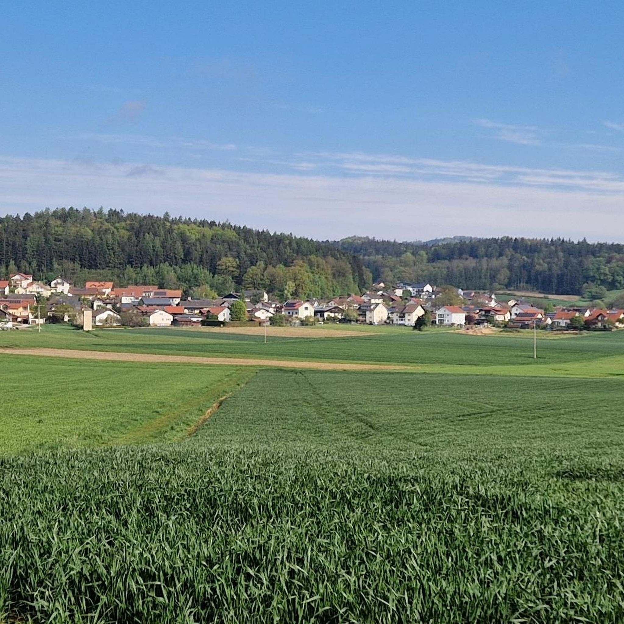
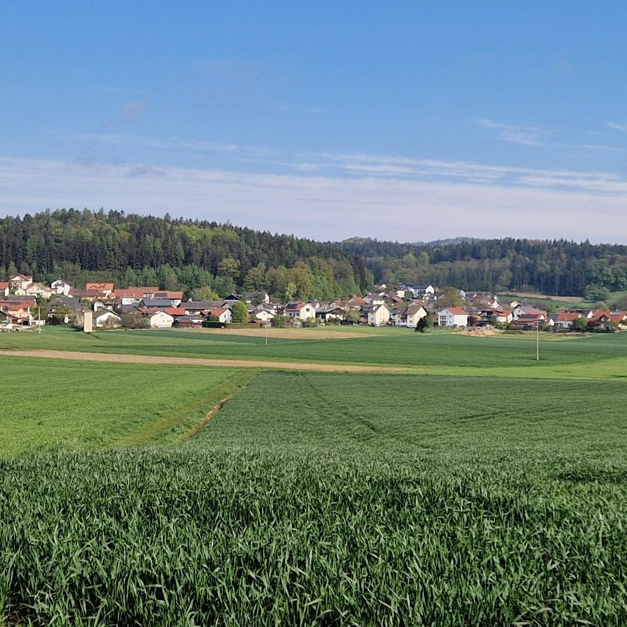
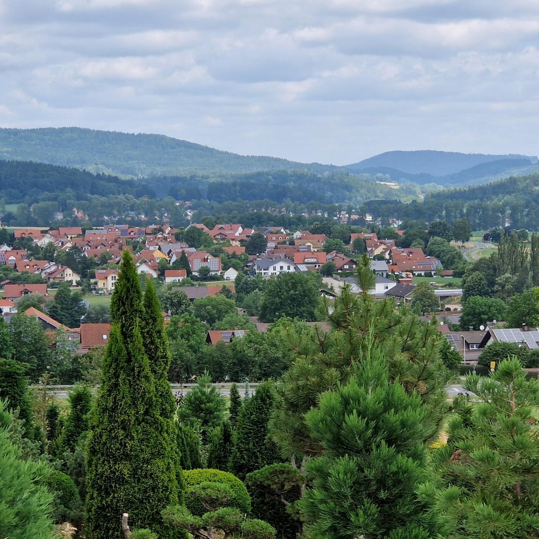

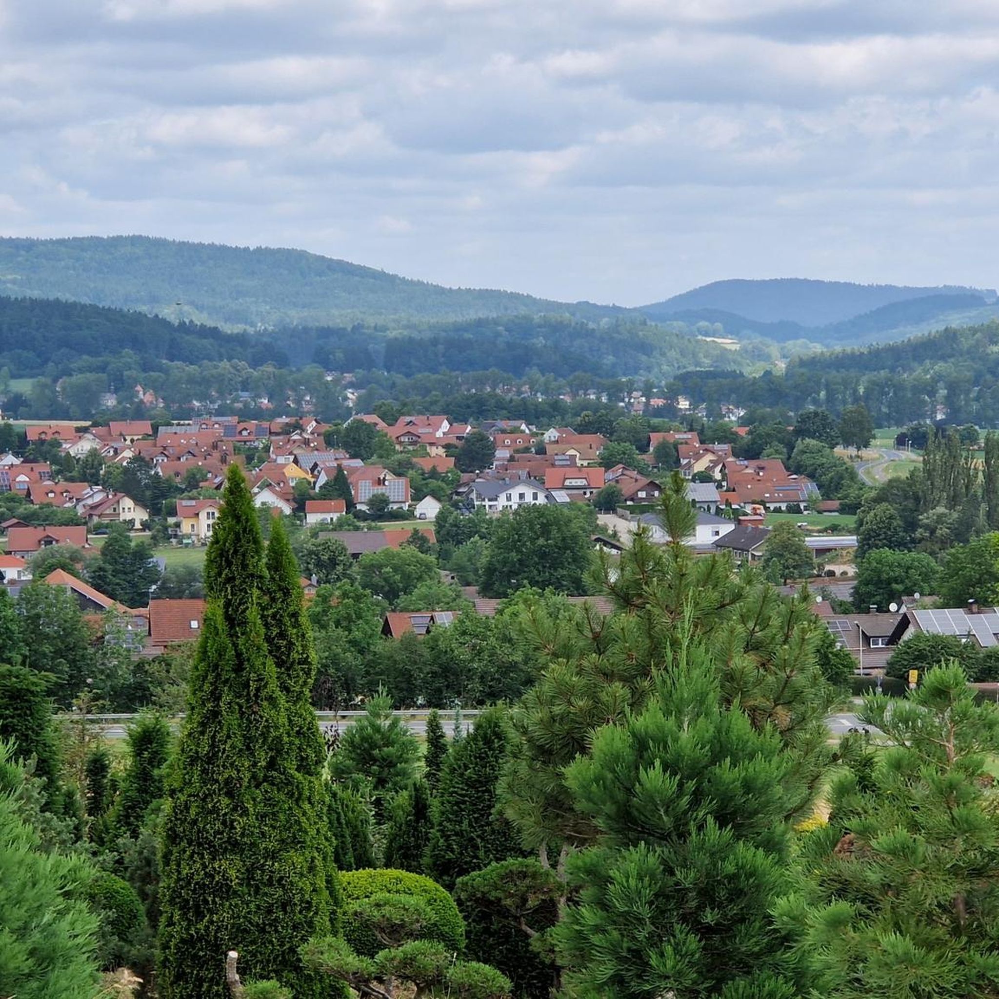
커뮤니티 팁

Untertraubenbach에서 좁은 다리를 건너 Regen 강을 가로지르게 됩니다. 강을 바라보는 전망이 아주 훌륭합니다. 바로 옆에는 전망대가 있습니다. 시간이 아주 급한 게 아니라면 올라가 볼 가치가 있습니다.
1
0

수많은 자물쇠가 이미 거기에 걸려 있습니다
1
0
아름답고 거의 차 없는 광장입니다. 분수에는 무언가가 있습니다. 모르는 사람은 아마 젖을 수도 있습니다.
0
0

많은 자물쇠가 걸린 파란 다리 "Liebenfen", 바로 옆에 비어가든이 있는 수자원 관리
2
0


Wetterfeld Castle Ruins As early as 1118, Gottfried von Wetterfeld appears as an influential ministerialis (unfree knight) of the Diepoldings, the powerful Margraves of Cham and Vohburg. He seems to have maintained good relations with many monasteries, especially Reichenbach Abbey—no wonder, since Abbot Reginboto was his brother. Numerous donations to various monasteries by Gottfried are documented, a widespread practice among knights to secure their salvation. In a donation from 1155, Heinrich is even mentioned as an imperial ministerialis, which demonstrates the family's rapid political rise. In 1179, Karl and Heinrich "de Weterinfeld" appear, after which the family disappears from the historical record. It is not until 1268 that we hear of a Deinhardus, who is now subject to the Bavarian dukes; perhaps they lost their independence with the inheritance of the Hohenstaufen dynasty. From 1283 onward, the Wittelsbachs sent judges to Wetterfeld. Ducal ministeriales from the surrounding area succeeded in office: Hauzendorfer, Katzdorfer, Zenger, and others. In 1322, it was pledged to the Chamerau family. In 1329, Wetterfeld came under the control of the Palatine line of the Wittelsbachs, who also appointed judges. In 1410, it passed to the sub-principality of Neumarkt-Neunburg, with the Degenberger, Nothaft, and Zenger families, among others, serving as administrators. During the Hussite raids of 1428 and 1433, the castle was destroyed and subsequently rebuilt. A unique feature of Wetterfeld is the four "castle guards"—four legally independent building complexes within the castle, which were granted separately—making the ownership situation quite complex. In 1621, during the Thirty Years' War, the Upper Palatinate, including Wetterfeld, came under the rule of Duke Maximilian of Bavaria. Later in the war, Wetterfeld was destroyed twice by the Swedes and subsequently rebuilt. But the castle and its buildings continued to deteriorate, and the administrators increasingly relocated their offices outside the castle. In 1812, the administrative office was moved to Roding, the castle grounds were subdivided, and private houses were built over. Wetterfeld is a moated castle—a branch of the Regen River bordered the complex to the northeast. The still clearly visible, deep, walled moat could be filled with sluice gates in case of attack. Essentially, only the large gate tower, built of rubble stone with corner quoins, remains. Its upper, habitable floors make it a variation of the late medieval residential tower. Source: www.burgenseite.de
1
0
Heilbrünnl Pilgrimage Church The first religious symbol at the Heilbrünnl was a martyr's column. The predecessor of the present church was a chapel, which had stood since 1668 on the site of a spring known for its miraculous properties. Because the pilgrimage there was very popular, the chapel was expanded just 16 years later. As early as 1677, Johann Schelchshorn from Regensburg cast a 76-pound bell for the Heilbrünnl, which was adorned with an image of the Immaculate Conception. The reputation of the pilgrimage to the Heilbrünnl had grown so much that it became necessary to enlarge the chapel between 1684 and 1691. After 1690, the pilgrimage site was generally called the "Chapel of Our Lady at the Heilbrünnlein." The church in its present form was built in 1730. The church is a late Baroque hall building with a hipped roof and a simple, unadorned facade. The choir is slightly recessed and supports an octagonal turret with an onion dome, profiled by pilasters. A two-story cellar with a hipped roof was added next to the church entrance in 1749. The church is oriented north-south, with the choir to the south. The rich furnishings of the Heilbrünnl contrast with the simple exterior and reflect the church's significance as a pilgrimage destination. The miraculous image, the origin of the pilgrimage to the Heilbrünnl, dates from the 17th century. It is a replica of the miraculous image in the Old Chapel in Regensburg. The image is held by two angel figures, while figures of Mary's parents, Joachim and Anne, stand to the left and right between two pillars. The altarpiece features a painting of God the Father, seated on a globe, surrounded by a wreath of clouds. Next to it is a dove symbolizing the Holy Spirit. The left side altar depicts a crucifixion scene, created in 1671. The figures at the altar are Saints Joseph, Florian, and the Apostle Peter. The right side altar displays a portrait of Saint Sebastian accompanied by Saint Irene, created in 1873. The figures at this side altar depict Saint Wendelin and Saint Leonard, and the third is the Apostle Paul. The fountain basin, made of red marble with white flecks, is oval and about one meter high. Source: Excerpts from www.wikipedia.de
4
0
윌머링 주변에서 가장 인기 있는 명소


더 살펴보기
다른 지역의 최고의 자전거 경로를 살펴보세요.
