앨더카 앤 랭글리 밀 최고의 워킹 & 하이킹 경로
4.5
(3161)
17,122
등산객
28
하이킹
Komoot에 등록된 앨더카 앤 랭글리 밀 내 트레일 및 경로 컬렉션 중에서 하이킹과 워킹을 가장 멋지게 즐길 수 있는 곳을 알려드릴게요. 아래에서 각 경로의 상세 정보를 모두 확인한 후, 앨더카 앤 랭글리 밀 속 자연에서 즐거운 시간을 누려보세요.
마지막 업데이트: 10월 11, 2026
4.5
(15)
79
등산객
11.7km
02:59
40m
40m
보통 하이킹. 좋은 체력 필요. 실력과 관계없이 누구나 쉽게 갈 수 있는 길.
4.0
(3)
8
등산객
11.6km
03:04
110m
110m
보통 하이킹. 좋은 체력 필요. 실력과 관계없이 누구나 쉽게 갈 수 있는 길.

4.8
(4)
25
등산객
10.7km
02:44
30m
30m
보통 하이킹. 좋은 체력 필요. 실력과 관계없이 누구나 쉽게 갈 수 있는 길.
5.0
(2)
15
등산객
초급용 하이킹. 모든 체력 수준에 적합. 실력과 관계없이 누구나 쉽게 갈 수 있는 길.
8
등산객
5.68km
01:32
80m
80m
초급용 하이킹. 모든 체력 수준에 적합. 실력과 관계없이 누구나 쉽게 갈 수 있는 길.
더 다양한 경로와 다른 탐험가들의 추천을 살펴보세요.
이미 komoot 계정이 있나요?
투어 추천은 다른 사람들이 komoot에서 완료한 수천 개의 활동을 바탕으로 구성되어 있습니다.
오늘 무료 계정으로 시작하세요
다음 모험이 기다리고 있어요.
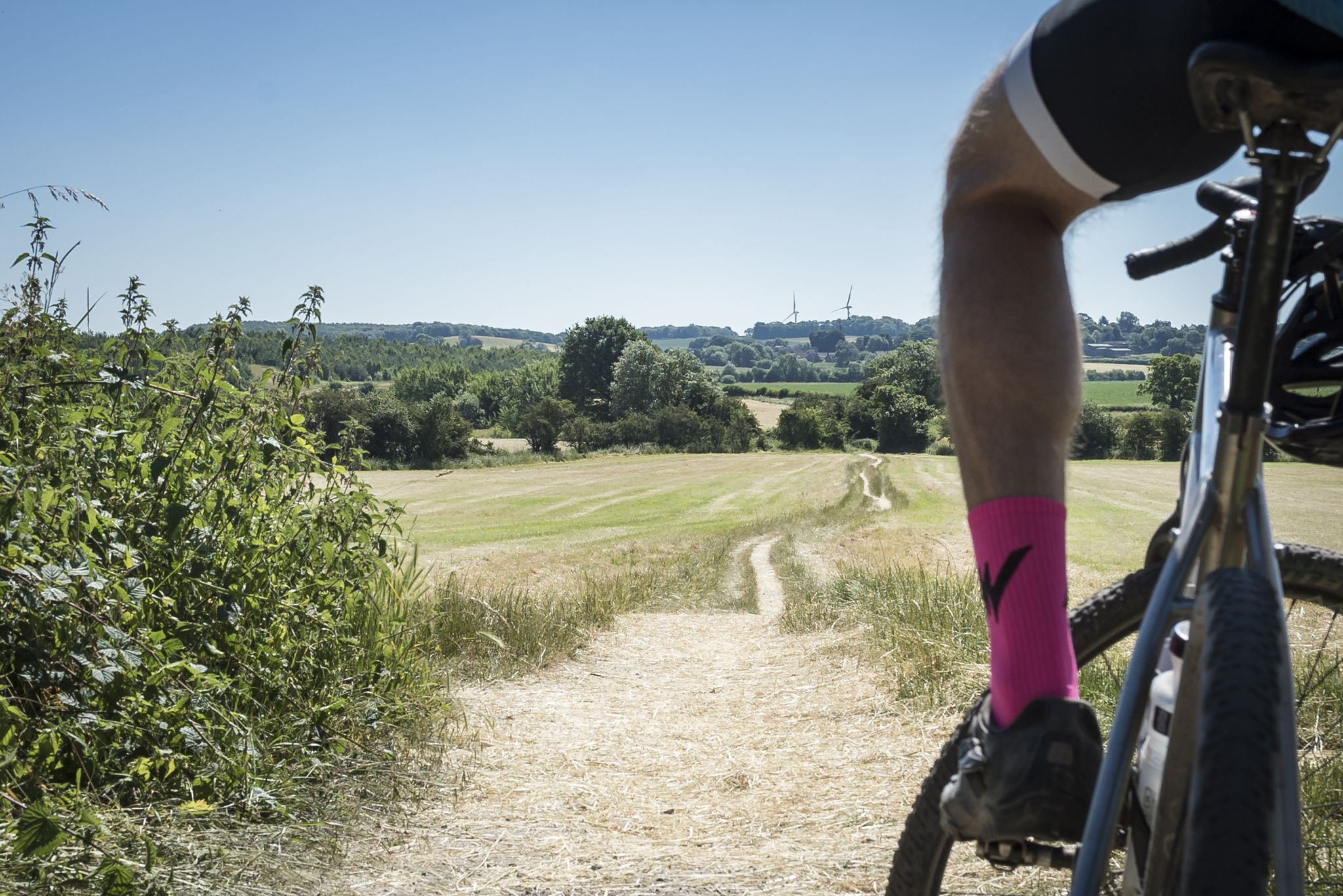
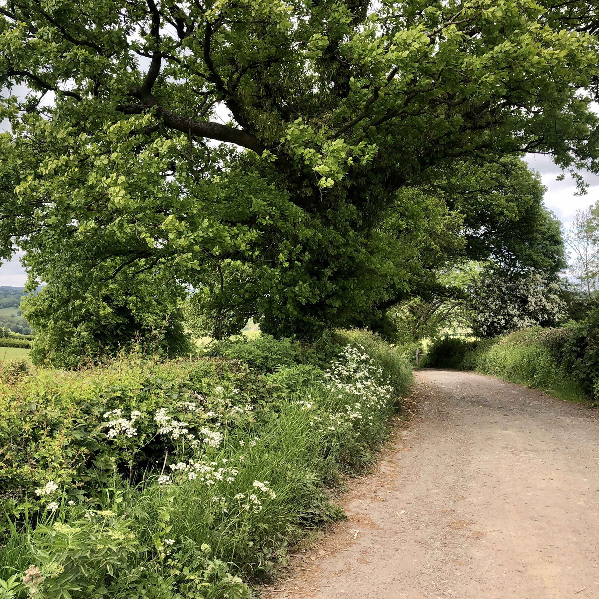
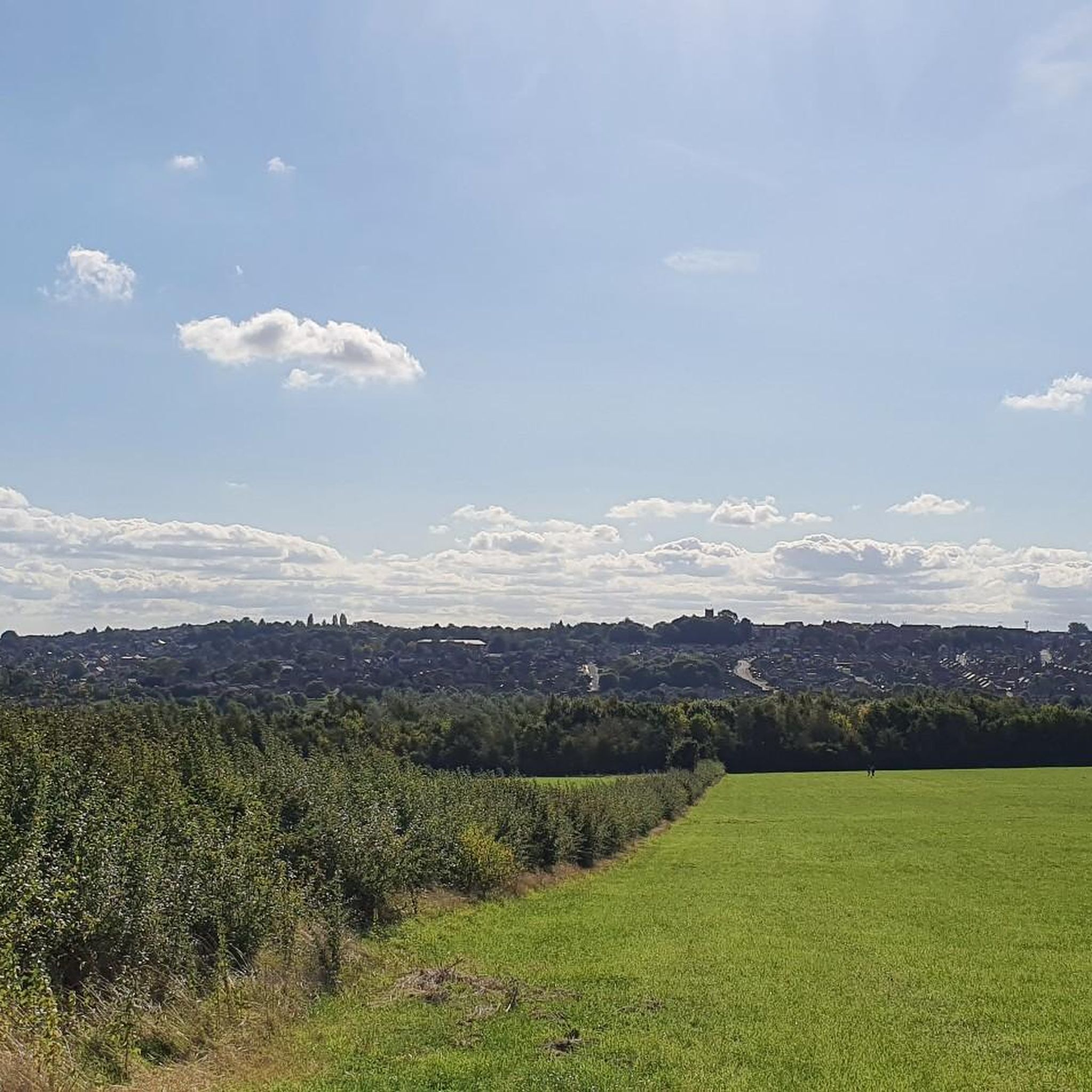
앨더카 앤 랭글리 밀 주변의 다른 모험

커뮤니티 팁

1300년대에 처음 기록되었으며, Codnor의 Grey 남작들이 건설했습니다. 지역 옥수수 방앗간과 16세기 철물 공장에 동력을 공급했으며, 지역 탄광에 물을 공급했습니다.
0
0


Path up to the viaduct which can be cycled across - eventually also we should be able to cycle down the other side - but works are still in progress on the path and the Visitors Centre.
0
0
It straddles the Derbyshire and Nottinghamshire county boundaries and is jointly owned by the two county Wildlife Trusts. In spring and summer the reserve's ponds and the wet sections of the canal are a refuge for grass snakes, amphibians and dragonflies. Butterflies and many other insects breed and feed on the wild flowers growing in the grassland. The meadows are best known for their birds. In spring lapwings can be seen performing their impressive aerial displays, while early mornings may offer the best chance of hearing the strange 'drumming' call of breeding snipe. More common breeding birds include the reed buntings with their distinctive black and white heads, and sedge warblers, more camouflaged but twice as noisy in declaring their presence. In spring and autumn the breeding birds are joined by waders, wildfowl and even birds of prey like the hen harrier. Many wildfowl stay for the winter, including a small flock of wigeon, numerous teal and a range of other species.
1
0
The River Erewash is a tributary of the River Trent that flows roughly southwards through Derbyshire, close to its eastern border with Nottinghamshire.
0
0

Erewash Nature Reserve is the largest area of floodplain and grassland in the Erewash Valley. It's managed by the Derbyshire Wildlife Trust. Look out for water voles and water birds.
2
1
앨더카 앤 랭글리 밀 주변에서 가장 인기 있는 명소


더 살펴보기
다른 지역의 최고의 하이킹를 살펴보세요.
