바르덴부르크 최고의 워킹 & 하이킹 경로
4.5
(659)
3,044
등산객
242
하이킹
정확한 경로를 찾는 것이 때로는 어렵지만 바르덴부르크에서 하이킹을 하면 다양한 경치를 마음껏 감상할 수 있답니다. 바르덴부르크에서 가장 멋진 하이킹과 워킹 중에서 마음에 드는 활동을 시작해보세요.
마지막 업데이트: 10월 14, 2026
4.5
(54)
203
등산객
6.94km
01:46
20m
20m
초급용 하이킹. 모든 체력 수준에 적합. 실력과 관계없이 누구나 쉽게 갈 수 있는 길.
4.6
(50)
168
등산객
7.33km
01:51
10m
10m
초급용 하이킹. 모든 체력 수준에 적합. 실력과 관계없이 누구나 쉽게 갈 수 있는 길.

4.7
(20)
82
등산객
7.61km
01:56
20m
20m
초급용 하이킹. 모든 체력 수준에 적합. 실력과 관계없이 누구나 쉽게 갈 수 있는 길.
4.5
(37)
106
등산객
6.87km
01:45
20m
20m
초급용 하이킹. 모든 체력 수준에 적합. 실력과 관계없이 누구나 쉽게 갈 수 있는 길.
4.6
(23)
119
등산객
7.72km
01:57
10m
10m
초급용 하이킹. 모든 체력 수준에 적합. 실력과 관계없이 누구나 쉽게 갈 수 있는 길.
더 다양한 경로와 다른 탐험가들의 추천을 살펴보세요.
이미 komoot 계정이 있나요?
투어 추천은 다른 사람들이 komoot에서 완료한 수천 개의 활동을 바탕으로 구성되어 있습니다.
오늘 무료 계정으로 시작하세요
다음 모험이 기다리고 있어요.



커뮤니티 팁

주의! komoot에서 추천하는 길은 마체테와 서바이벌 키트가 없다면 절대 가지 마세요. 추천 경로는 완전히 막혀서 더 이상 갈 수 없습니다. 대신 여기서부터 Iburg 방향의 Huntedeich를 따라 계속 가세요!
0
0

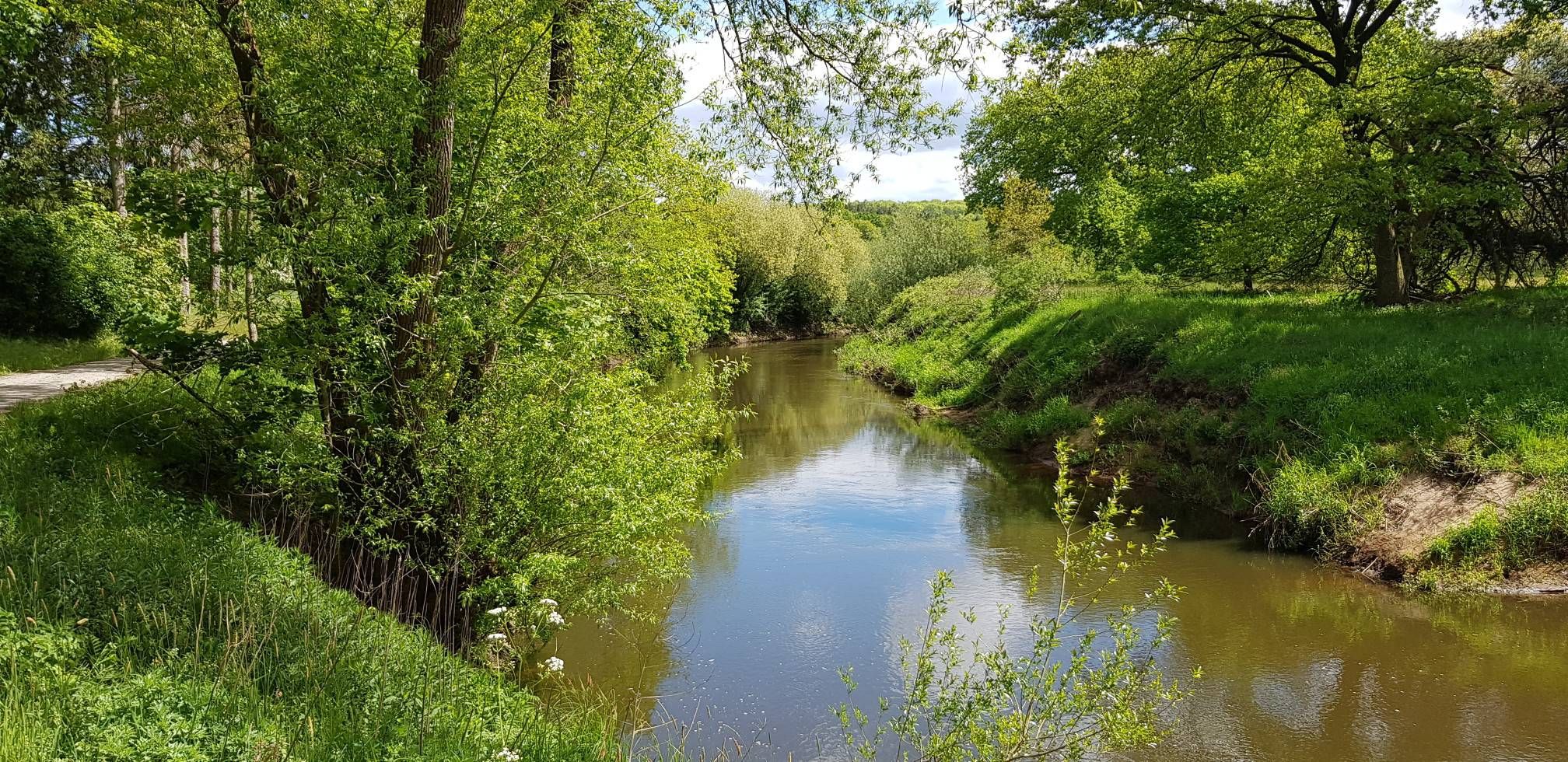
🌉 The Hunte Bridge at Tillysee is an attractive spot along the Hunte River, often associated with the Hunte Cycle Path and the nearby Iburg. The bridge serves as an important crossing over the Hunte and is located in a scenic area that belongs to the Wildeshauser Geest Nature Park.
3
0
🌊 Special features: At Tungeln, the river's course is regulated by the Tungeln weir. Historically, this is the point where the Hunte River was divided to protect the city of Oldenburg from flooding and to allow shipping.
1
0

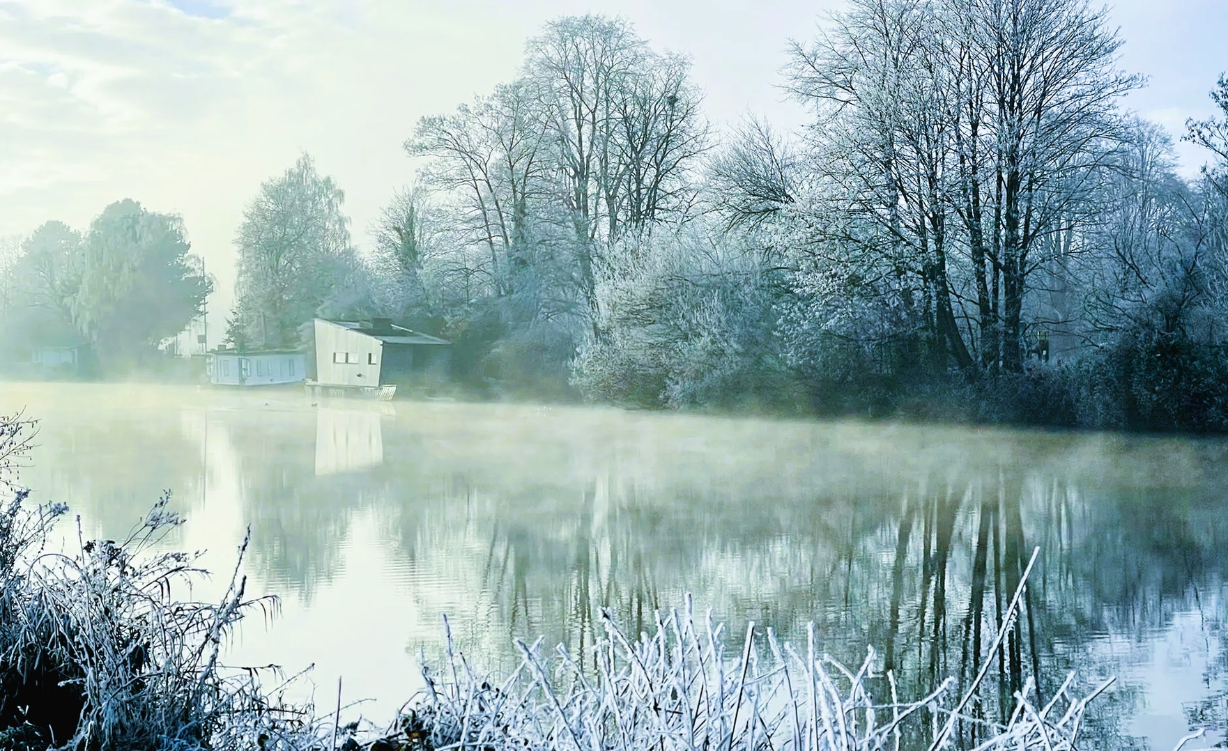
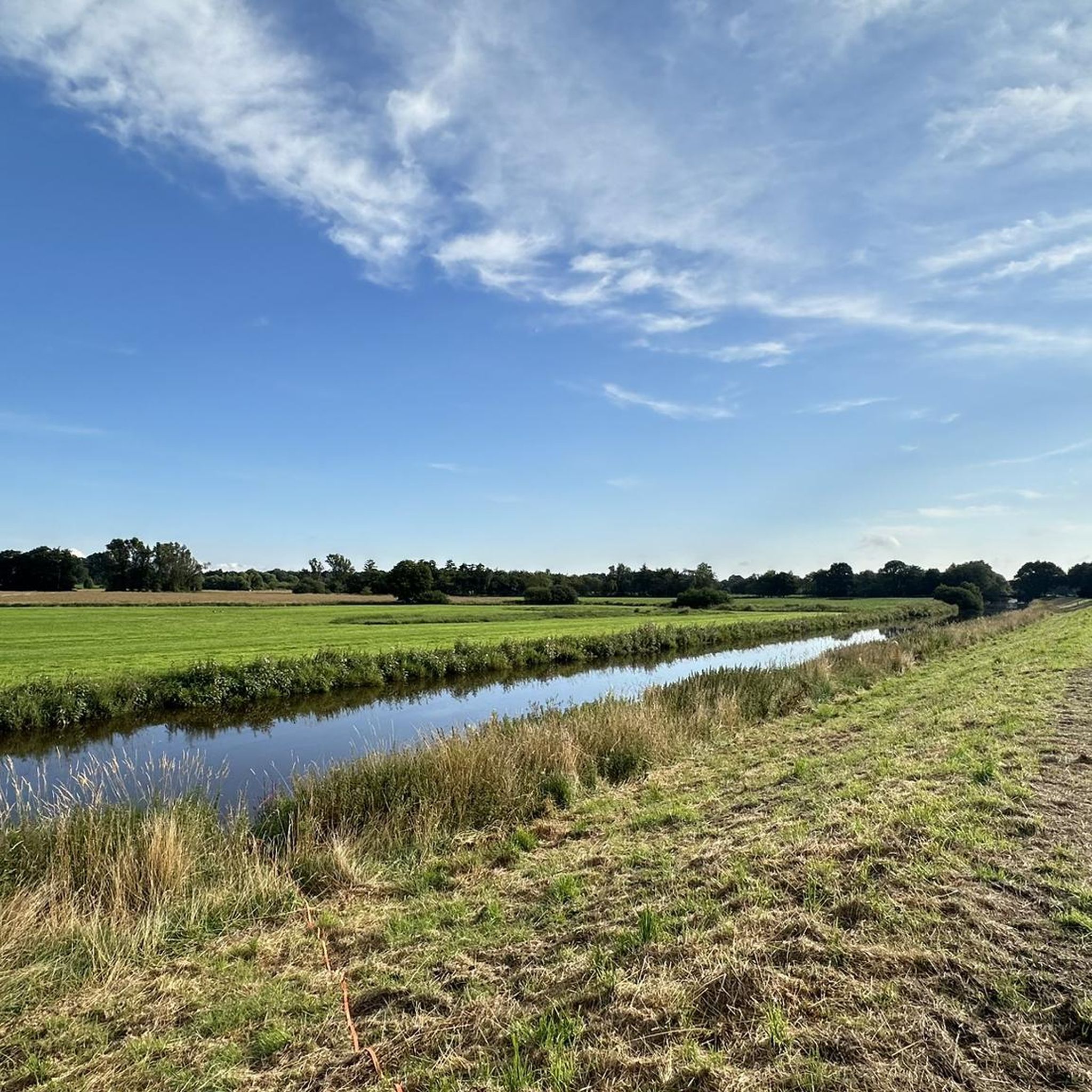
The Hunte flows near Tungeln, a district of the municipality of Wardenburg, and can be used for canoeing and SUP tours, for example, on the scenic stretch between Wardenburg and Tungeln, which leads through a nature reserve. The river is known for its diverse landscapes, with sandbanks, forests, and embankments, and there are various entry points, such as the Hunte Bridge in Tungeln.
3
0


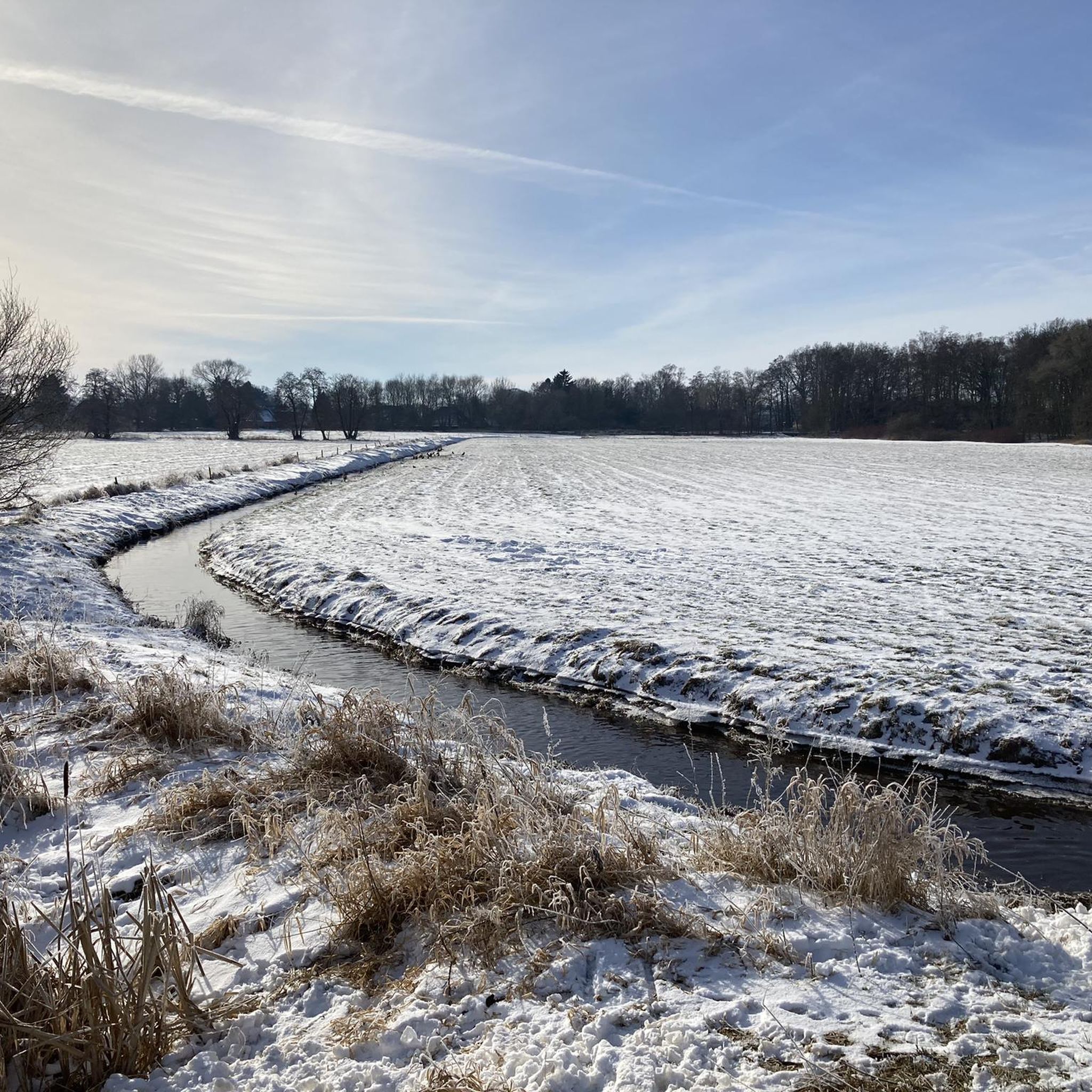
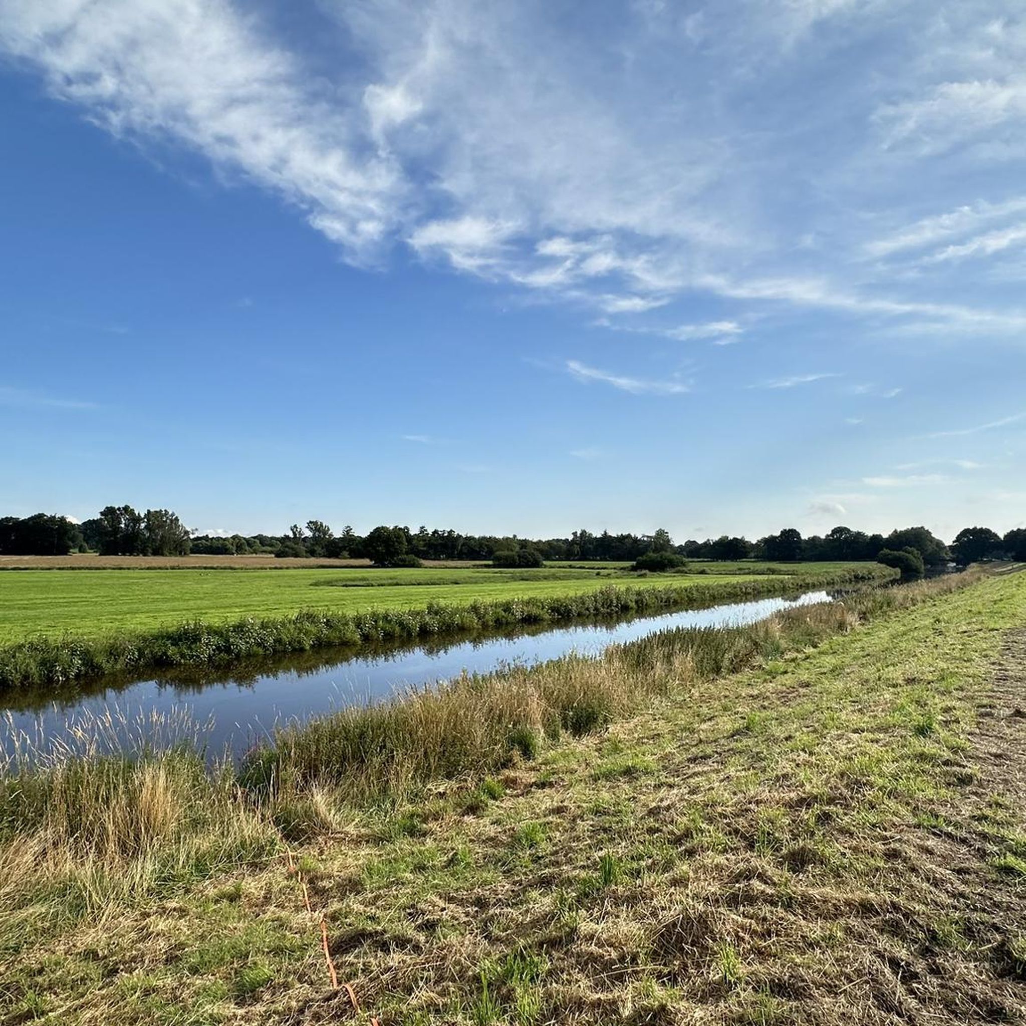
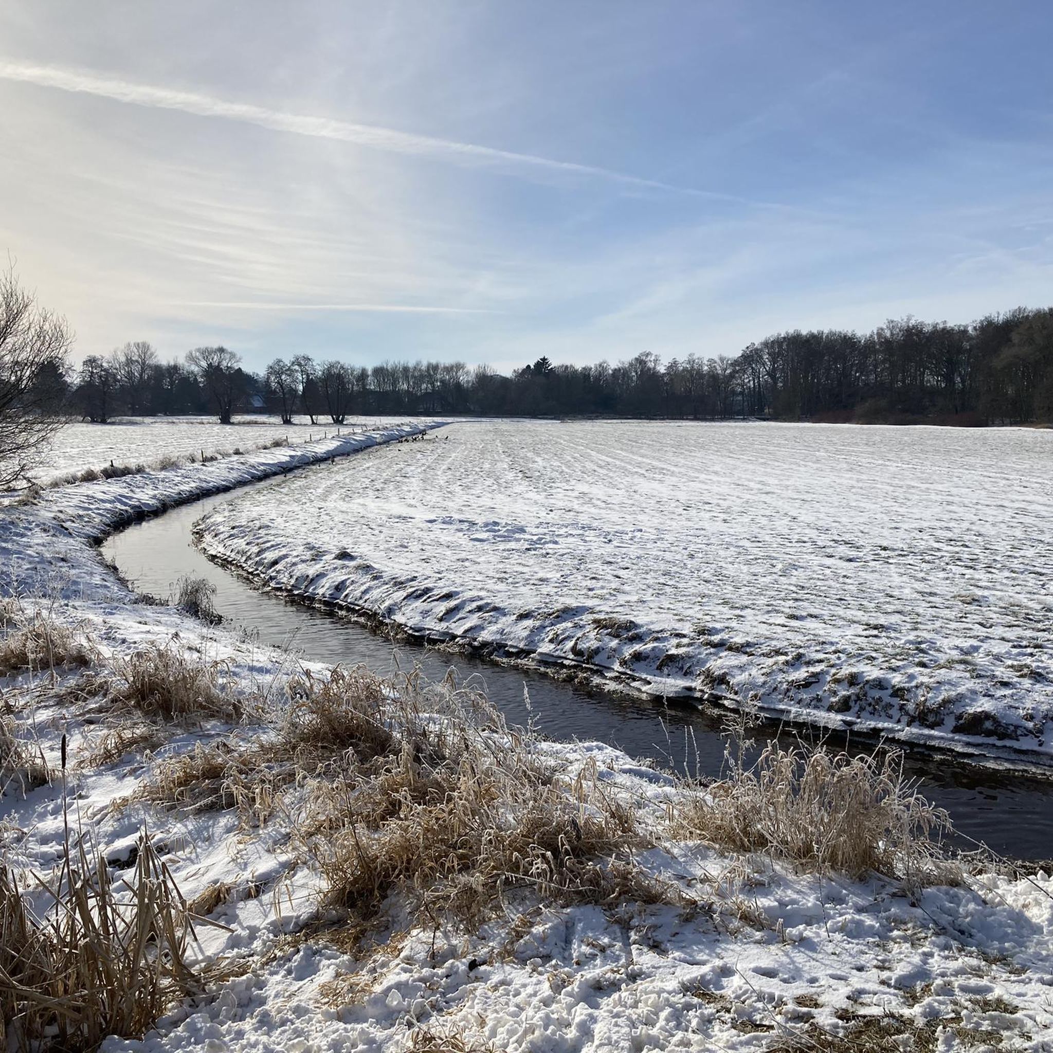
The Hunte River near Tungeln. View towards Oldenburg
1
0

The first 25 kilometers of the route lead through the Wesermarsch district along the foot of a dike to Oldenburg. It's recommended to take a break there. In Oldenburg, you have the option of crossing the river by crossing the highway bridge or taking the route through the historic old town, passing Blankenburg Monastery. Behind Oldenburg, a roughly 15-kilometer-long path begins along the Hunte dike towards Wardenburg, passing through the towns of Hundsmühlen and Tungeln. In Wardenburg, you pass a school and reach a bridge. After the bridge, go straight ahead, then right, and soon right again towards the dike. The dike leads to the next bridge, which you cross on Astruper Straße until you reach Sandkrug, where you move slightly away from the river. After the town, turn left onto the field paths again along the Hunte towards Wildeshausen.
2
0

A really good nature trail.🌻
1
0
바르덴부르크 주변에서 가장 인기 있는 명소


더 살펴보기
다른 지역의 최고의 하이킹를 살펴보세요.
