경로

플래너

기능

업데이트

App

로그인 또는 가입

앱 다운로드

로그인 또는 가입

경로
Places to see
영국
영국
사우스 웨스트 잉글랜드
도싯

노스 도싯

20의 노스 도싯가지 명소 & 주요 장소


노스 도싯에는 둘러볼 만한 장소가 많답니다. 하이킹 또는 사이클링을 좋아한다면 노스 도싯에 숨겨진 20
가지 보석을 만날 수 있을 거예요. 이 지역의 주요 명소를 살펴보면서 다음 모험을 계획해보세요.

마지막 업데이트: 7월 20, 2026

실링스톤 철도역 및 박물관

하이라이트 (구간) • 역사적 장소

The train line was removed in 1966 but this station was left. Volunteers and enthusiasts have worked here since 1997 restoring the station and laying some track in 2008. It's …

에 의해

라이딩 보기

휴대폰으로 전송

저장

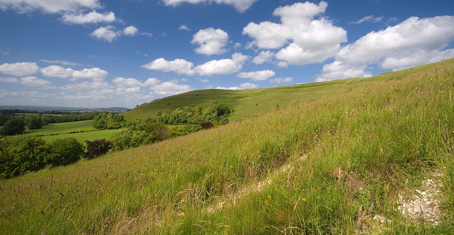
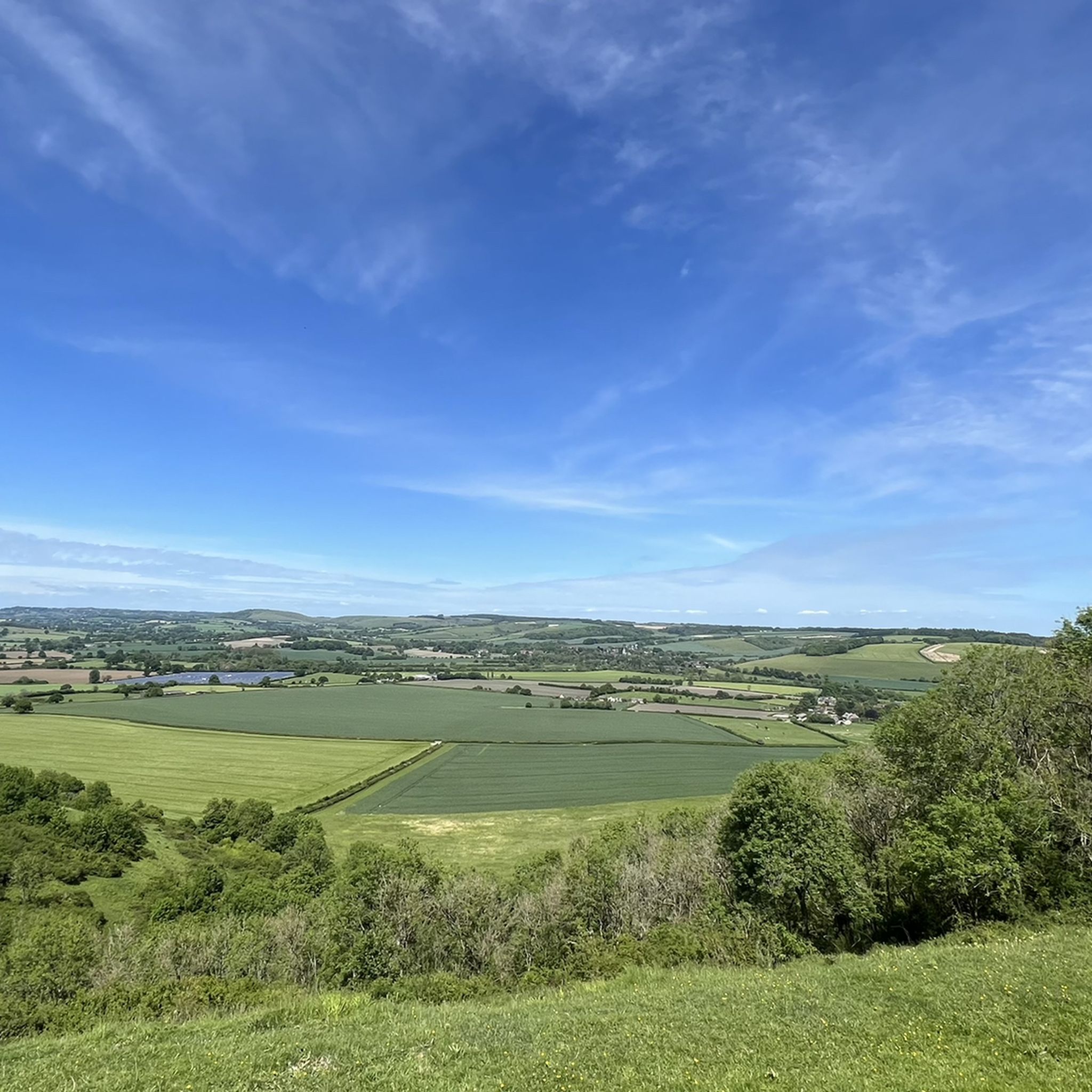
햄블던 힐 철기 시대 언덕 요새

하이라이트 • 전망대

Hambledon Hill is hailed as one of the best-preserved Iron Age hill forts in Britain and is one of the most iconic Neolithic landscapes in Europe. Towering 623 feet (190 …

에 의해

저장

이런 장소를 발견하려면 지금 가입하세요

최고의 싱글 트랙, 봉우리 및 다양한 흥미로운 야외 장소에 대한 추천을 받아보세요.

무료 회원 가입

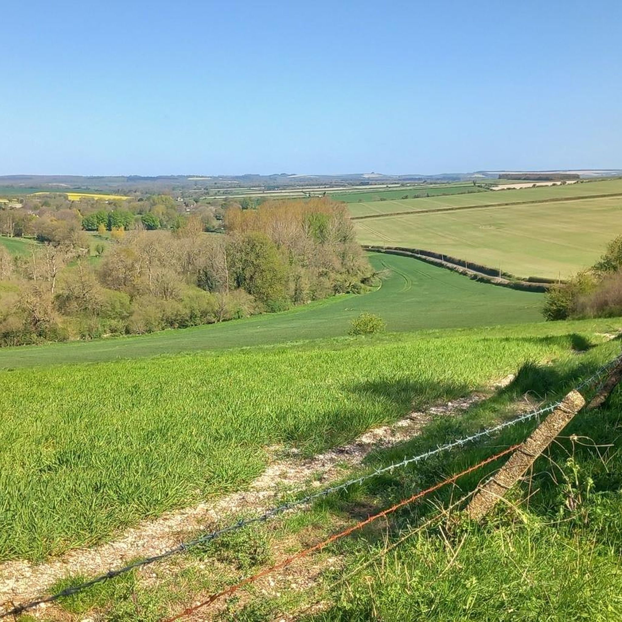
지그재그 힐 클라임

하이라이트 (구간) • 전망대

As close as you can get to an Alpine switchback-ridden climb in North Dorset, the view from the top at Wingreen Hill is always worth the hard work.

에 의해

저장

Gold Hill, Shaftesbury

하이라이트 • 등반

Made famous by the Hovis advert in 1973, the cobbled climb of Gold Hill has just got more and more loved by the nation as the years have passed. The …

에 의해

저장

노스 도싯 트레일웨이

하이라이트 (구간) • 트레일

Off road gravel path running between Sturminster & Blandford Forum

에 의해

저장

블랜포드 철도 아치와 보행교

하이라이트 (구간) • 역사적 장소

In addition to the main rail bridge spanning the river, smaller bridges were built to allow traffic and pedestrians to cross the cuttings and track as it travelled north-west. Three …

에 의해

저장

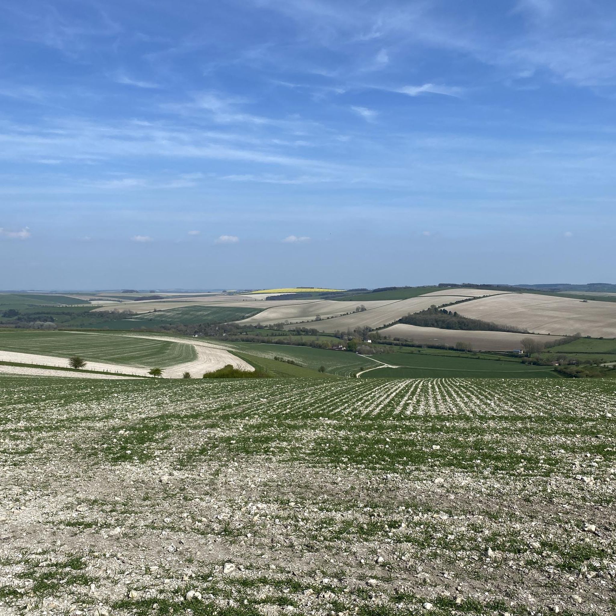
호드 힐

하이라이트 • 전망대

Rising above the village of Stourpaine and the River Stour, Hod Hill is one of the chain of Iron Age hillforts that stretch from Hambledon Hill to Hengistbury Head. Hod …

에 의해

저장

밀턴 애버스 마을

하이라이트 • 역사적 장소

Made up largely of thatched cob houses, Milton Abbas is not only one of the most picturesque villages in Dorset but it is also the first planned village. Built in …

에 의해

저장

샤프츠버리 수도원 유적과 정원

하이라이트 • 역사적 장소

Former Benedictine Abbey from 888. It became really famous as a place of pilgrimage after the relics of King Edward the Martyr were brought here a good 100 years later. …

번역자 Google •

에 의해

저장

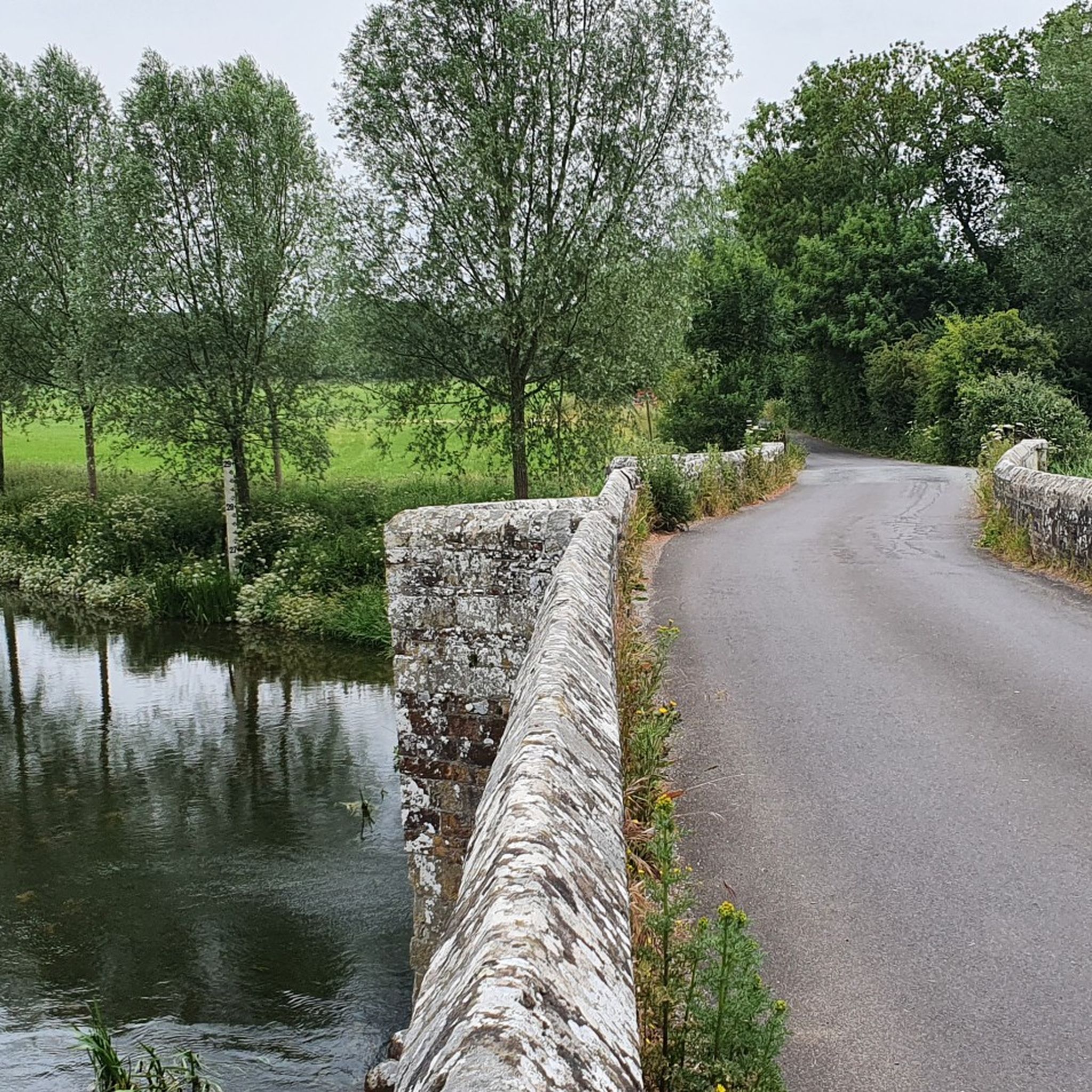
Durweston Mill

하이라이트 • 역사적 장소

A five-acre island surrounded by the River Stour with a campsite, old mill buildings, mill pool and peaceful stretch of the river.

에 의해

저장

무료로 가입하여 노스 도싯의 더 많은 명소를 발견하세요.

무료 회원 가입

이미 komoot 계정이 있나요?

오늘 무료 계정으로 시작하세요

다음 모험이 기다리고 있어요.
로그인 또는 가입하기

노스 도싯 주변 인기 장소

エンティディク 가이리스 공화드 — Greater Ridgeway게 제도하지

고대 그리고 아름다운 등골줄 하이킹 - 웨세크스 리지웨이

5,000 년일시 아습니다 - Wiltshire Cycleway

도셋 산성의 벽을 걷다 — National Trust

북 & 서 도셋의 20개 판타스틱한 트레일 — 네이셔널 트러스트

카운티의 최고의 로드 라이드 - 도셋 스타일

노스 도싯 하이킹

노스 도싯 로드 사이클링 경로

노스 도싯 사이클링

노스 도싯 러닝 트레일

노스 도싯의 다른 모험

エンティディク 가이리스 공화드 — Greater Ridgeway게 제도하지

하이킹 컬렉션 에 의해

komoot

커뮤니티 팁

MCW73
8월 22, 2025, Shaftesbury Abbey Ruins and Gardens

Once one of the most important and wealthiest nunneries in England. The abbey's ruins, consisting mainly of its foundations and remnants of walls, are located in a peaceful walled garden next to the famous Gold Hill. Shaftesbury Abbey was founded by King Alfred the Great in 888 AD. It was the first religious house in England established exclusively for women, and Alfred's daughter, Æthelgifu, was its first abbess. The abbey grew in wealth and importance, particularly after it became the burial site and shrine of St Edward the Martyr, a Saxon king who was murdered at Corfe Castle in 978 AD. His shrine attracted a large number of pilgrims, which brought significant income to the abbey. By the time of the Dissolution of the Monasteries under King Henry VIII in 1539, Shaftesbury Abbey was the second wealthiest nunnery in the country. It was the last abbey to be dissolved, and its buildings were systematically destroyed, with locals taking the stone for their own buildings. The ruins we see today are the excavated foundations of the church and other parts of the abbey complex. Entry is free, and the lovely volunteers are happy to offer a little tour with some details on the Abbey. It must have looked mightily impressive in its day.

0

0

notable for being one of the first planned settlements in England. In the 1770s, the owner of Milton Abbey, Joseph Damer (later Lord Milton and Earl of Dorchester), decided the original village of Middleton was spoiling his view and commissioned architect Sir William Chambers and landscape gardener Capability Brown to design a new village in a nearby wooded valley. The old village was demolished, and most of its residents were relocated to this new model village, now known as Milton Abbas. The village is characterized by its single, sinuous main street lined with 36 almost identical whitewashed and thatched cottages. These were originally designed to house two families each.

0

0

Great place to hike/run all year round

1

0

Luke
4월 15, 2025, Hod Hill

Great place to train if u are running a ultra mountain marathon

0

0

Only opens from Weds to Sunday

0

0

Using the power of moving water to drive a mill wheel is an ancient invention of the human spirit of discovery, the origins of which can be traced back to times long past. Thanks to such a construction, a watercourse - natural or artificial - could simply replace human or animal muscle power with the power of the natural elements, for example to grind grain into corn or to press oil from fruit. There are essentially two different ways of driving watermills: * Either the flowing water simply hits the blades of the water wheel from below to set it in motion; or * the water is guided - usually through a so-called "mill channel" - above the wheel and falls onto the blades; this type of construction is more efficient due to natural gravity.

번역: Google

0

0

In addition to the main rail bridge spanning the river, smaller bridges were built to allow traffic and pedestrians to cross the cuttings and track as it travelled north-west. Three bridges were built for this purpose and all of them remain integral to the navigation of the town today. Arguably the most distinctive of them is the Alexandra Street pedestrian footbridge, above the site of the dismantled station. Constructed from iron and now partially supported by four narrow legs, the bridge stands at what was once the northern end of the station, where the single-line section to Templecombe began. Blandford station remained open until 7 March 1966, when the entire line from Bath to Bournemouth closed to passengers. Goods traffic continued for a further three years, but the station was finally closed and the track lifted in 1969. Following the closure, the Damory railway bridges, on the southern approach to the station, were eventually demolished in 1978.

1

0

What a beautiful place to ride a bike! Nothing too demanding along this route. A mixture of cyclists, dog walkers, hikers and pushchair parents. highly recommend this route.

1

0

노스 도싯에서 가장 인기 있는 경로

노스 도싯 하이킹

노스 도싯에서 가장 인기 있는 명소

Natural Monuments

Store rating

komoot 모바일 앱으로 영감을 받아보세요

무료 komoot 계정로 끝없는 야외 모험을 손쉽게 찾고, 맞춤 설정하며 길안내할 수 있어요.

또는

지금 komoot에 가입하세요

Store rating

찾고 계신 것을 찾지 못하셨나요?

근처의 멋진 장소를 더 탐험하고 싶으신가요? 우리의 가이드를 살펴보세요:

서튼 왈드론 시민 교구찰튼 마샬블랜드포드 세인트 메리Fontmell 마그나 시민 교구길링엄 시민 교구Shaftesbury 시민 교구웨스트 오차드 시민 교구힌튼 세인트 메리 시민 교구Marnhull 시민 교구맨스턴 시민 교구토드버 시민 교구타란트 로스턴킹턴 마그나이스트 오차드 시민 교구타란트 론세스톤윈터본 킹스턴헤이즐버리 브라이언파이프헤드 네빌리들린치블랜드포드 포럼태런트 케인스턴실링스톤밀본 세인트 앤드류멜버리 압바스스토르페인핸포드 시민 교구더웨스턴턴워스윈터본 스틱랜드벅혼 웨스턴Iwerne Courtney 또는 Shroton글랜빌스 우튼이버튼스토크 웨이크타란트 건빌애쉬모어 시민 교구Compton Abbas 시민 교구Iwerne Minster 시민 교구체틀스터민스터 뉴턴풀럼랭턴 롱 블랜드포드버튼 시민 교구함문모트콤 시민 교구앤더슨스투르 프로보스트윈터본 화이트처치윈터본 휴튼차일드 옥포드맵파우더실턴 시민 교구타란트 몽크톤스페티스베리오케포드 피츠페인스터튼 캔들핌퍼네브라이언스턴스탈브리지마가렛 마시 시민 교구윈터본 젤스톤울랜드윈터본 클렌스턴타란트 크로포드이스트투어이웨른 스틸턴파넘밀턴 압바스타란트 러쉬튼힐튼타란트 힌튼파이프헤드 막달렌웨스트 스터

더 살펴보기

찾고 있는 하이라이트를 아직 못 찾으셨나요? 다른 지역의 주요 명소 가이드를 확인해보세요:

근처 어드벤처 가이드

차일드 옥포드 즐길거리

background

새로운 정복을 위한 준비를 하세요

무료로 가입하기

탐험하기
경로경로 플래너기능하이킹MTB 트레일로드 사이클링 경로바이크패킹사이트맵
앱 다운로드
소셜 미디어에서 팔로우하기

© komoot GmbH

개인 정보 보호 정책