20의 미드 서식스가지 명소 & 주요 장소
미드 서식스에는 둘러볼 만한 장소가 많답니다. 하이킹 또는 사이클링을 좋아한다면 미드 서식스에 숨겨진 20
가지 보석을 만날 수 있을 거예요. 이 지역의 주요 명소를 살펴보면서 다음 모험을 계획해보세요.
마지막 업데이트: 8월 30, 2026


이런 장소를 발견하려면 지금 가입하세요
최고의 싱글 트랙, 봉우리 및 다양한 흥미로운 야외 장소에 대한 추천을 받아보세요.
무료 회원 가입

서식스 경계길: 디츨링 비콘에서 피셔스게이트까지
하이라이트 (구간) • 트레일
팁에 의해

터너스 힐 남쪽 오르막
하이라이트 (구간) • 전망대
팁에 의해

변모 교회, 클레이턴
하이라이트 • 종교적 장소
번역자 Google •
팁에 의해


사우스다운즈 웨이 – 풀킹 힐 능선
하이라이트 (구간) • 자연 기념물
팁에 의해

Lindfield Coffee Works
하이라이트 • 카페
팁에 의해

이스트 그린스테드 하이 스트리트와 역사적인 건물들
하이라이트 • 역사적 장소
팁에 의해

무료로 가입하여 미드 서식스 주변의 더 많은 명소를 발견하세요.
무료 회원 가입
이미 komoot 계정이 있나요?
오늘 무료 계정으로 시작하세요
다음 모험이 기다리고 있어요.
로그인 또는 가입하기
미드 서식스 주변 인기 장소
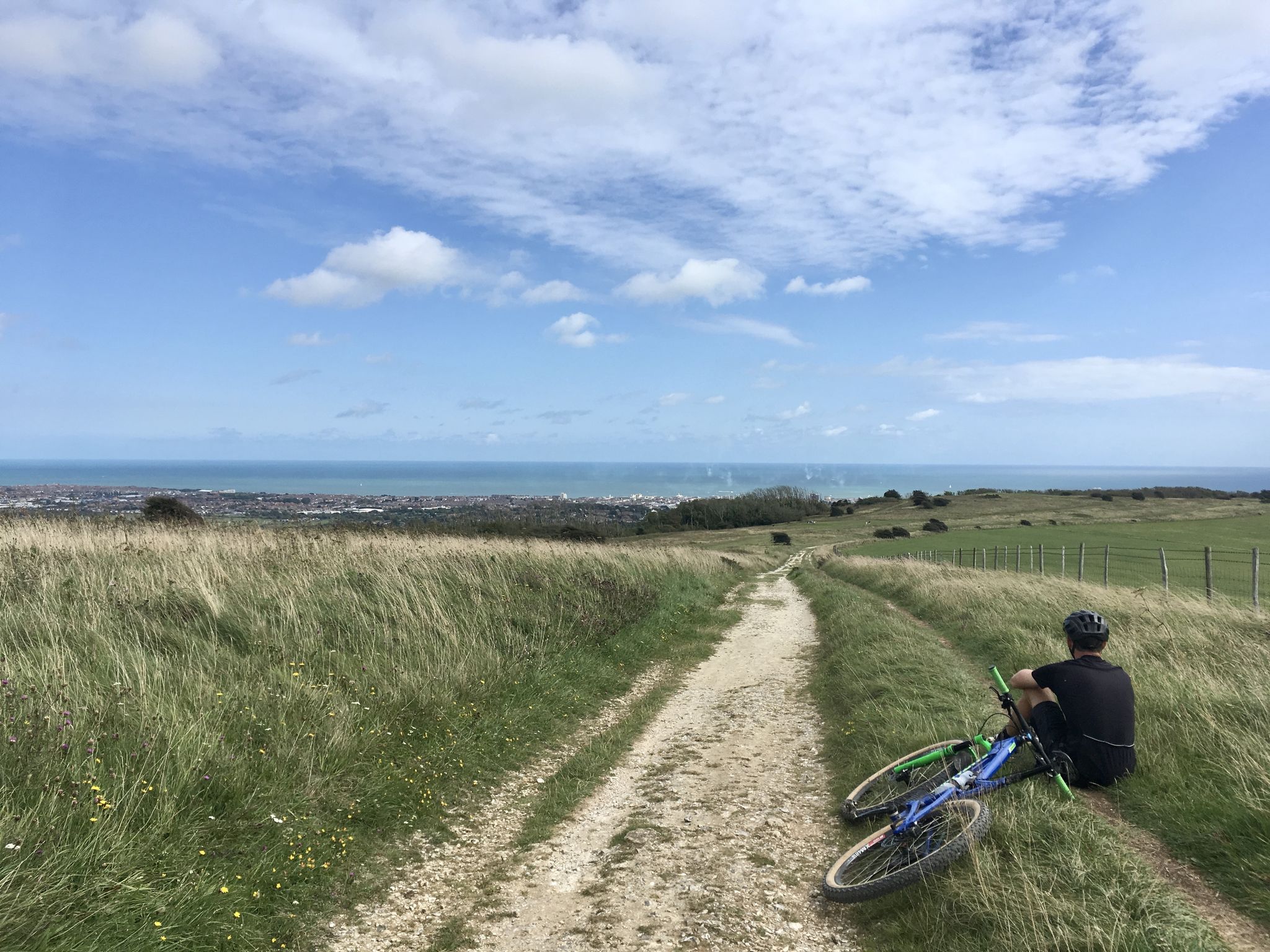
대한르 오류다 오화현 - South Downs Way
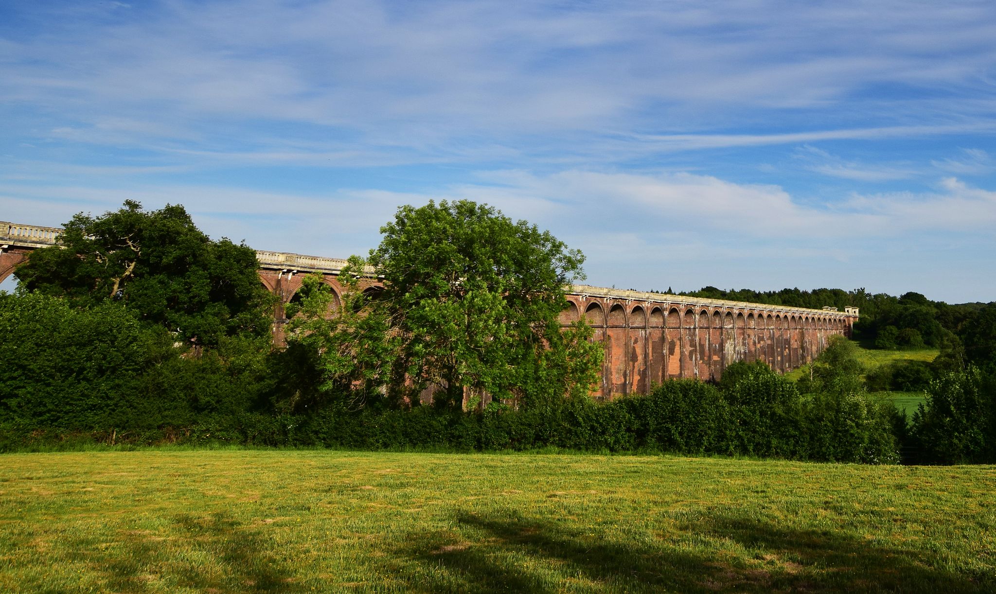
하이 웰드에서 사우스 다운스까지 — 서세크스 아우스 밸리 웨이
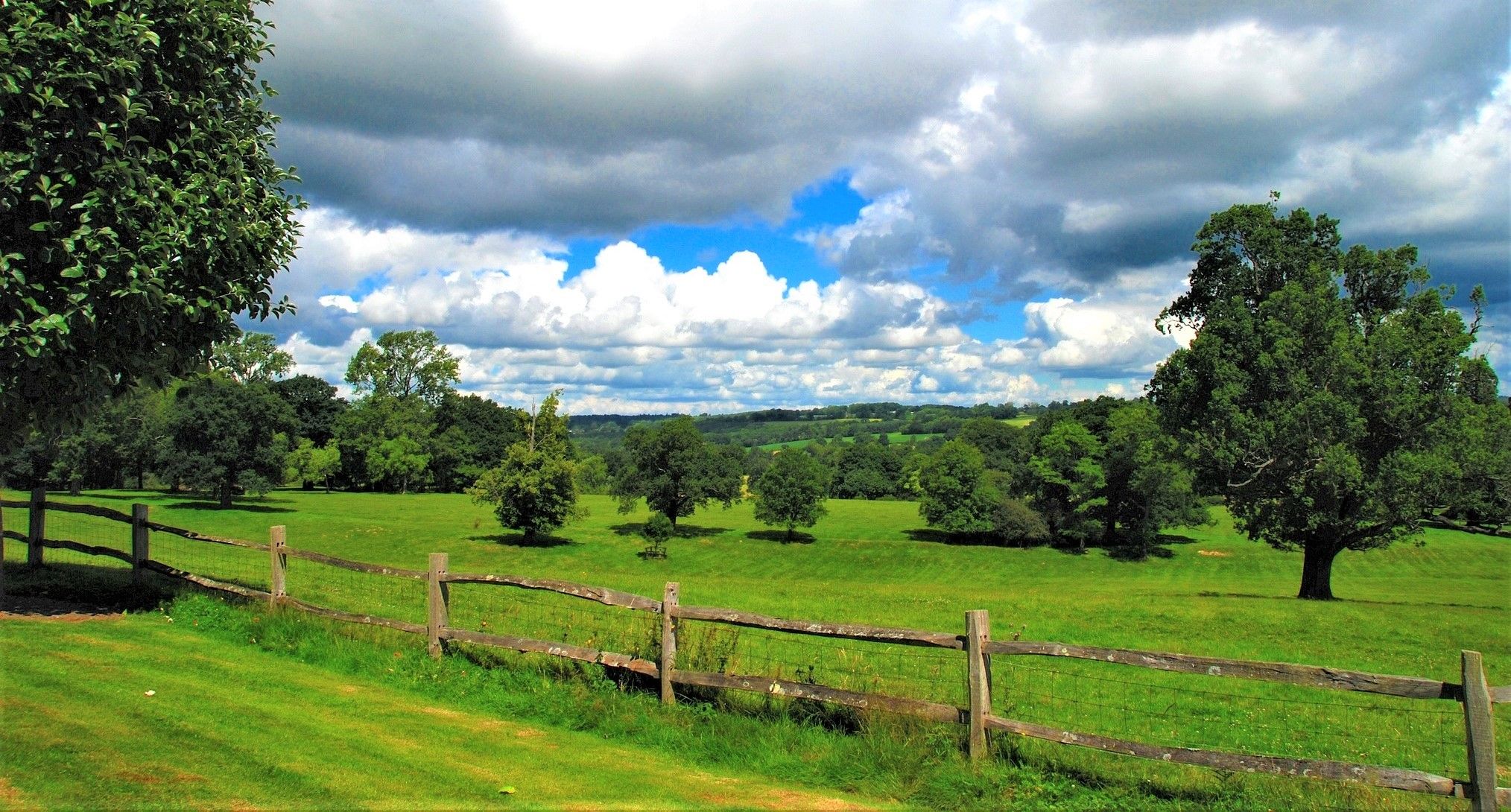
중세 동남부의 심장을 등산해보세요 — 하이 웰드 경관 트레일
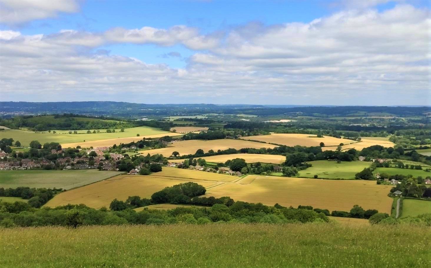
중세 경관을 통한 역사적인 하이킹 — Sussex Border Path
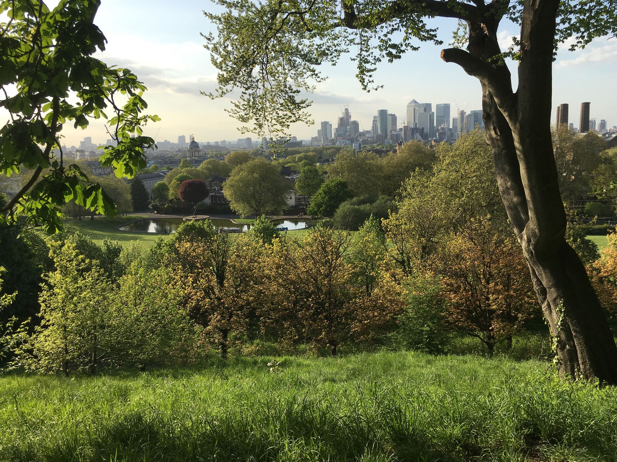
런던에서 바다까지 - 다운즈 웰드 방법의 대모험
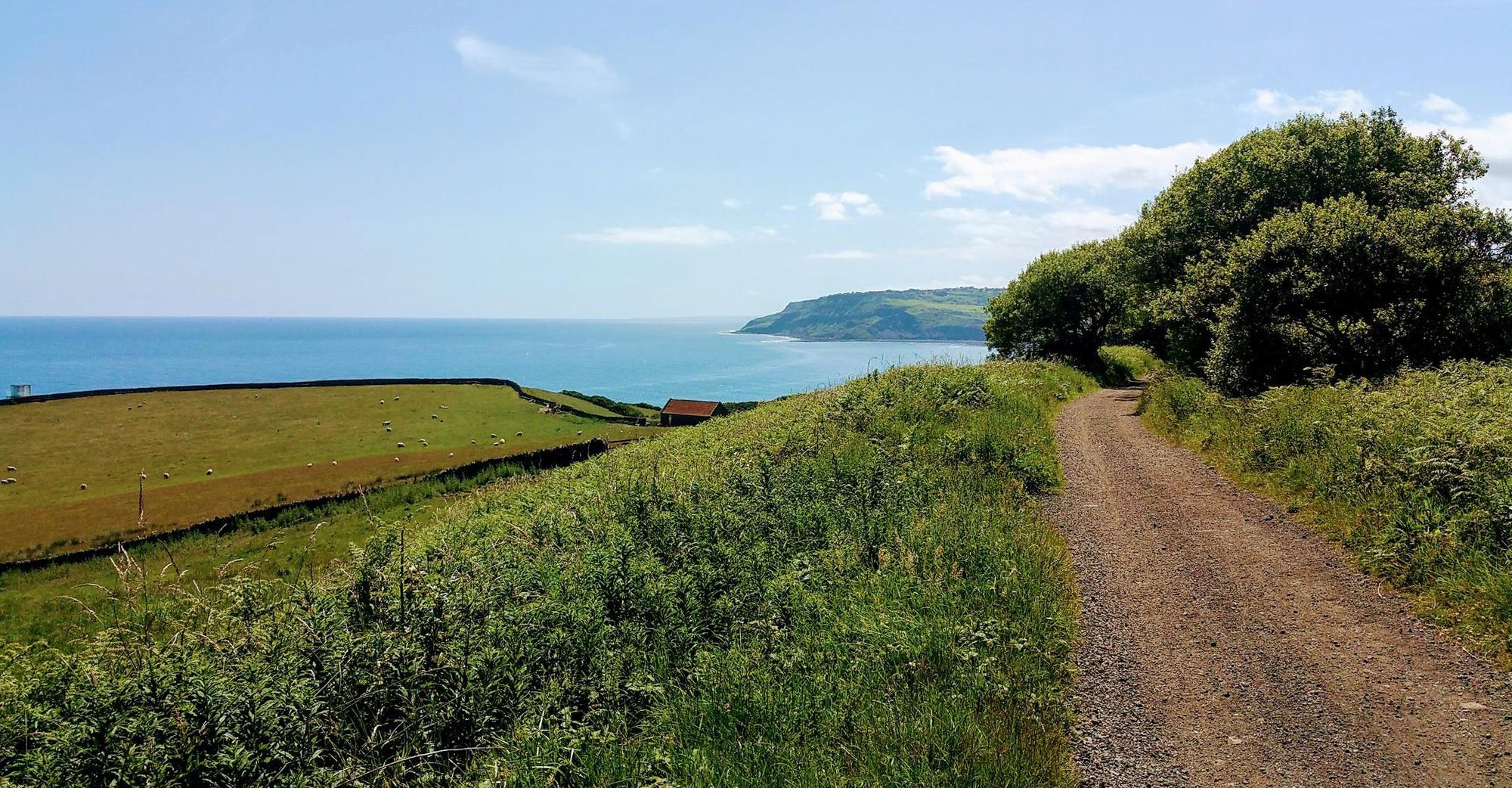
가족 친화적인 자전거 경로 잉글랜드
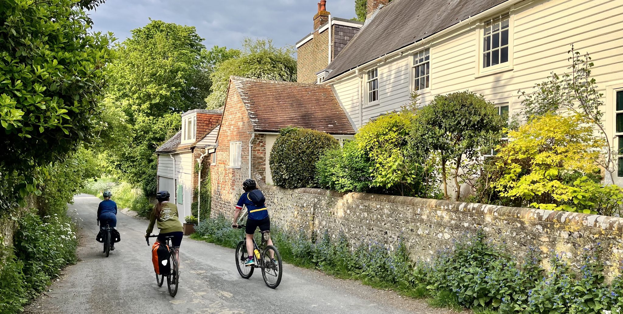
서스섹스 국립공원을 탐험하세요 - 철도로부터 도로로의 15가지 라이드

서단 국립공원을 발견하세요 — 20개의 철도 트레일 라이드
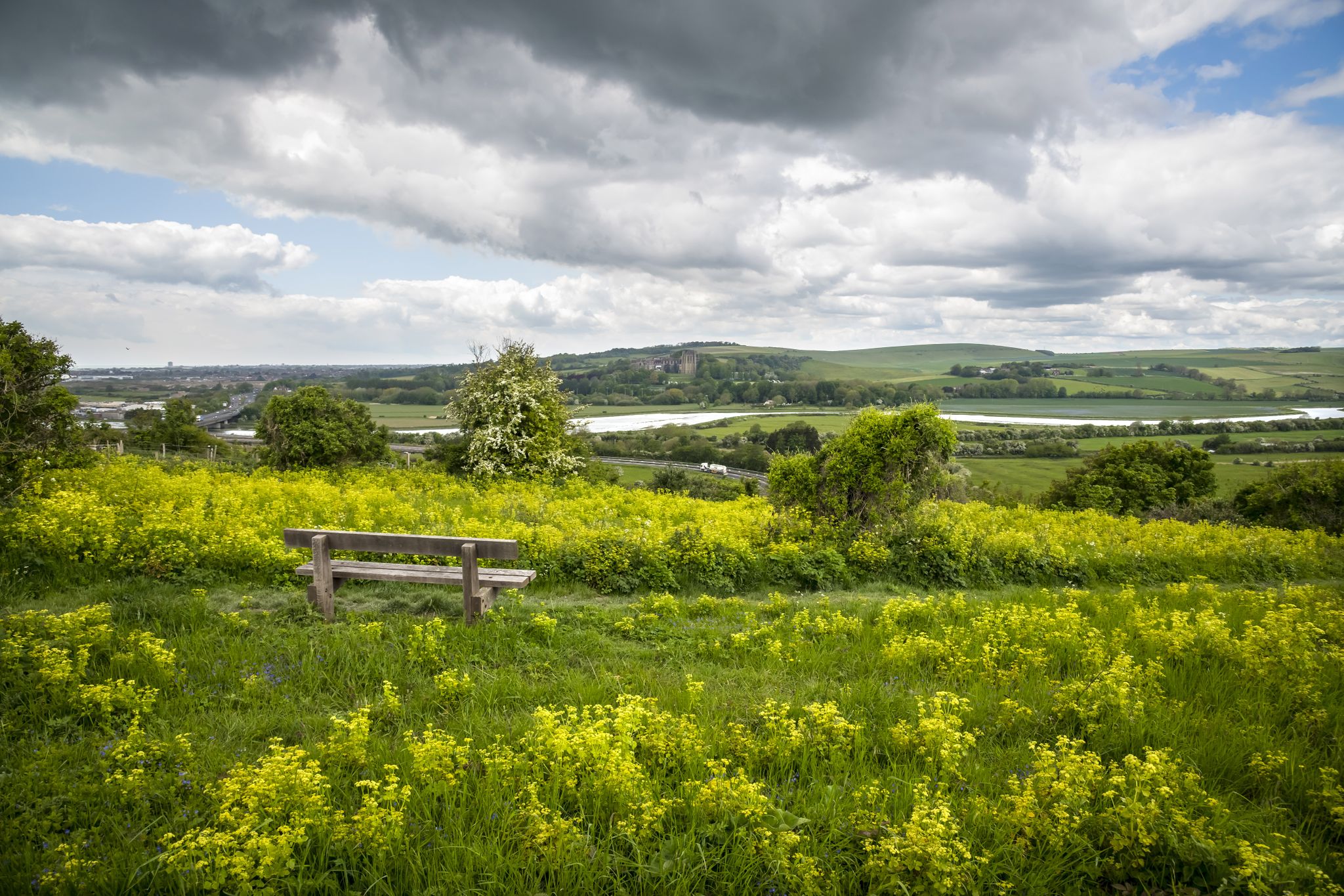
So Sussex - The Living Coast by Bike
영국의 가족 친화적인 자전거 타기 21
미드 서식스 주변의 다른 모험


커뮤니티 팁

nice steady climb with breathtaking views, if you turn left at the gate (before crossing) you will see a path to your further left leading to a pub called Sheppard and Dog with a nice beer garden - this is a S2 descent so be careful
0
0


The perimeter path around the reservoir is very muddy in places currently due to the amount of rain. Welly boots needed in some places.
0
0

The Sussex Ouse Valley Way is a 42-mile (68 km) long-distance footpath that basically follows the course of the River Ouse from its source to the sea. It starts from Lower Beeding near Horsham to the coast at Seaford. It is generally regarded as an easy footpath, as most of the route is flat riverside walking. It is a very scenic journey as it goes through beautiful quintessential English countryside for most of its journey. Here by Upper-Ryelands Bridge on Border Hill Lane, you come across the fantastic structure of the Ouse Valley Viaduct that stretches out across you in all its magnificent structural glory, simply a stunning view.
2
0
The Sussex Border Path is a long-distance footpath that is nearly 150 miles (241 km) long and goes around the county boundary of Sussex. It is a relatively new trail initiated in 1983, and since its inception, the route has only traced the county boundary. As Sussex has been split administratively into east and west for many years, there is now a new border path section running from East Grinstead to Brighton, reflecting these east and west sections. This is part of that section and runs from Ditchling Beacon to Fishersgate, or vice versa. The section is 12 miles (19 km) long and consists of Ditchling Beacon itself, sections of beautiful bridleways with sea views, and the famous Chattri Indian War Memorial.
1
1

Longer if you are travelling from the north towards Ardingly but gradual enough to get into a decent rhythm apart from the traffic at peak times.
0
0

Delicious coffee from a small converted horse trailer. It won't always be there. But if it is, it's a recommendation.
0
0

These old windmills are the best proof that people were clever enough a number of centuries ago - long before the discovery of electricity and the inventions that resulted from it - to harness the power of the elements for their own purposes: no human or animal muscle power is needed for the grinding process, but the wind captured by the wings is enough to drive the heavy millstones and thus, for example, to grind flour from grain (grain mills) or to press oil from olives (oil mills). Often they are only technical and historical evidence of a long tradition of craftsmanship, because most of the old mills have been abandoned over time.
2
0
미드 서식스 주변에서 가장 인기 있는 명소


찾고 계신 것을 찾지 못하셨나요?
근처의 멋진 장소를 더 탐험하고 싶으신가요? 우리의 가이드를 살펴보세요:
