20의 삼낭에르가지 명소 & 주요 장소
삼낭에르에는 둘러볼 만한 장소가 많답니다. 하이킹 또는 사이클링을 좋아한다면 삼낭에르에 숨겨진 20
가지 보석을 만날 수 있을 거예요. 이 지역의 주요 명소를 살펴보면서 다음 모험을 계획해보세요.
마지막 업데이트: 10월 11, 2026

Hauggjelsvarden 정상
하이라이트 • 정상
번역자 Google •
팁에 의해

이런 장소를 발견하려면 지금 가입하세요
최고의 싱글 트랙, 봉우리 및 다양한 흥미로운 야외 장소에 대한 추천을 받아보세요.


Skåldalsnipa 정상
하이라이트 • 정상
After that the terrain becomes more boggy and the path is not easy to find …
번역자 Google •
팁에 의해

무료로 가입하여 삼낭에르 주변의 더 많은 명소를 발견하세요.
이미 komoot 계정이 있나요?
오늘 무료 계정으로 시작하세요
다음 모험이 기다리고 있어요.

커뮤니티 팁

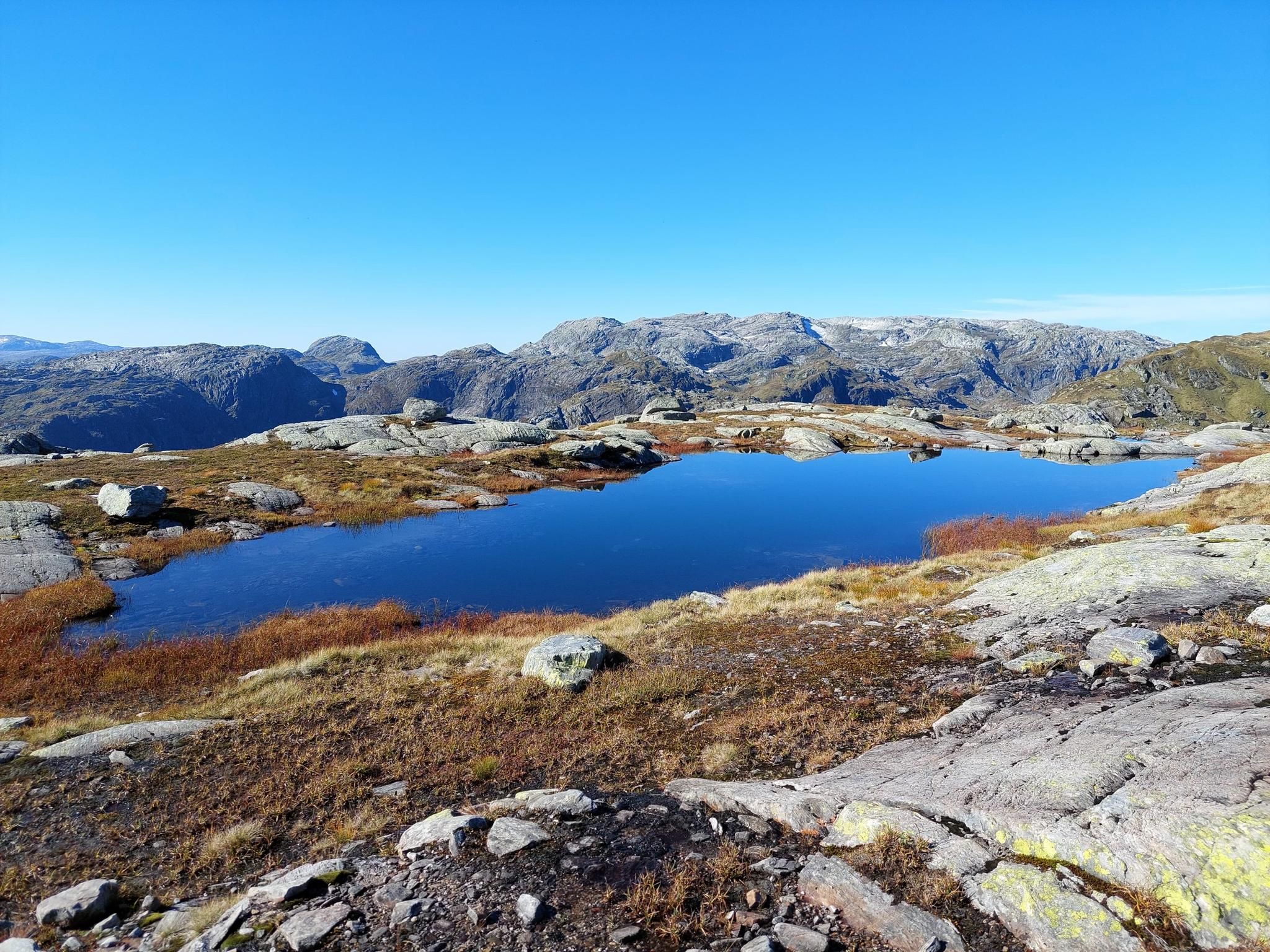
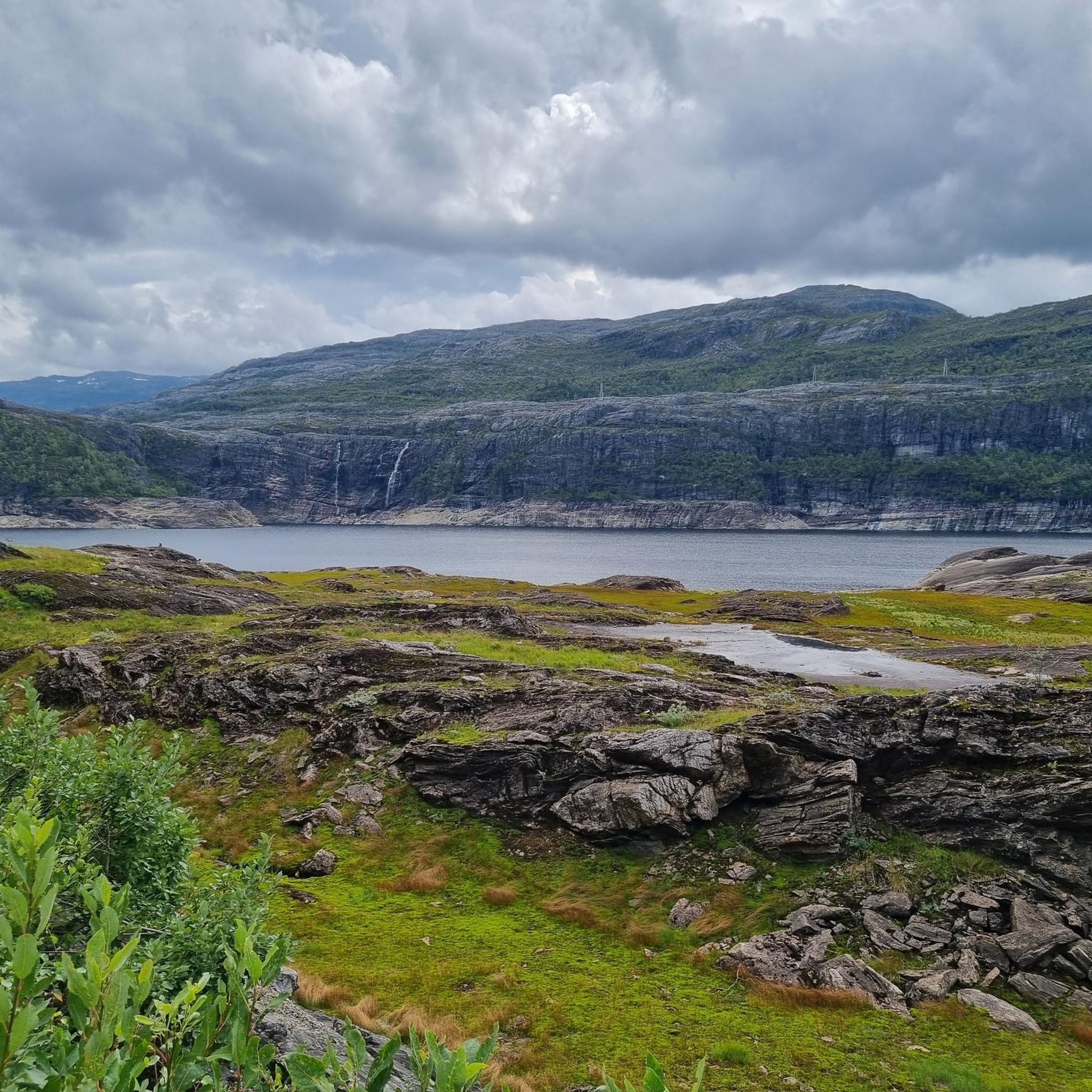
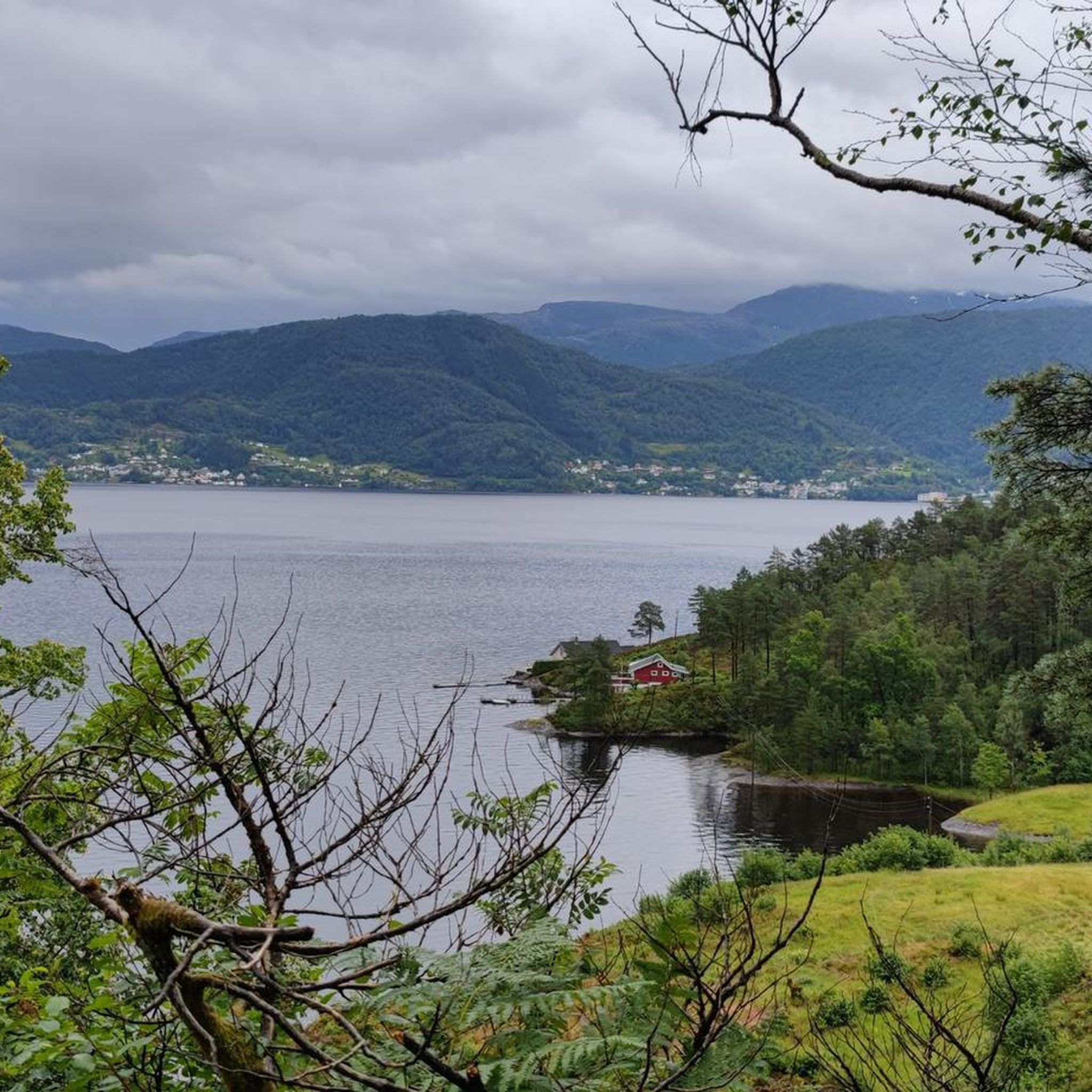
📍 시작/종점: Ulriksbanen (Ulriken) → Fløyen → 베르겐 시내. 가장 편리한 방법은 Ulriken 쪽에서 올라가서 코스 끝에서 Fløibanen 케이블카를 타고 내려오는 것입니다. 🥾 경로: Ulriken과 Fløyen 사이의 Vidden 고원 – 이탄지, 바위, 빙하 호수, 거친 노르웨이 능선을 가로지르는 약 15km의 트레킹. ⏱️ 시간: 공식적으로 약 5.5시간이지만, 휴식, 사진 촬영, 악천후를 고려하면 실제로 6-8시간을 예상하는 것이 좋습니다. 저희는 총 7시간이 걸렸습니다. 🧭 구간: Ulriken 등반이 가장 힘든 부분입니다. 특히 1333개의 돌계단인 Oppstemten을 통해 도보로 오르는 경우입니다. 그 후, 경로는 수많은 작은 오르막과 내리막이 있는 탁 트인 고원을 지나 이어지며, Fløyen 근처의 마지막 구간은 더 숲이 우거지고 레크리에이션 지역으로 변합니다. 💡 팁: Vidden은 기술적으로 어려운 경로가 아니지만, GPS 또는 오프라인 지도를 가지고 가는 것이 좋습니다. 시야가 좋지 않고 측면 경로가 많으면 길을 잃기 쉽습니다. 특히 Ulriken 정상에서 내려오거나 Fløyen 근처에서는 더욱 그렇습니다. 유용한 정보: https://szlakmnietrafi.pl/vidden-trail/
0
0

The location and the water view are fantastic. Clean restrooms. Absolutely top-notch!
0
0

Hauggjelsvarden is a lesser-known but worthwhile peak in the Bergen region. Once at the top, a tranquil spot awaits with sweeping views over green valleys, shimmering fjords, and the surrounding mountain ranges. The summit marker and the open landscape invite you to take a break and fully enjoy the Nordic nature. Those looking for a scenic hike away from the hustle and bustle of the tourist crowds will find it here.
4
0

Beautiful view from the Skåldalsnipa summit and the path up there is steep but firm. After that the terrain becomes more boggy and the path is not easy to find as it is heavily overgrown. However, it is mostly flat. (Waypoint 1 to 2) The rest is easy to do. We would only recommend the hike to the summit. Otherwise you need to have good shoes with you so that you don't get wet socks.
0
0

We did a four week trip through Scandinavia. The parking space was one of the most beautiful we have come to and is highly recommended 👍
1
0


Very nice, located on the lake campsite, good bus to Bergen.
4
1

The Vidden Trail connects the two mountain stations of the Ulriken cable car and the Floyen Schrägbahn. On the plateau you can train beautiful uneven terrain and always has beautiful views. It's best to start at Ulriken and hike to Floyen. Arriving at Floyen, a wonderful panoramic terrace awaits you with very nice views over Bergen.
0
0
삼낭에르 주변에서 가장 인기 있는 경로
삼낭에르 주변에서 가장 인기 있는 명소


더 살펴보기
찾고 있는 하이라이트를 아직 못 찾으셨나요? 다른 지역의 주요 명소 가이드를 확인해보세요:
