헤뢰이 최고의 워킹 & 하이킹 경로
4.6
(860)
4,648
등산객
33
하이킹
정확한 경로를 찾는 것이 때로는 어렵지만 헤뢰이에서 하이킹을 하면 다양한 경치를 마음껏 감상할 수 있답니다. 헤뢰이에서 가장 멋진 하이킹과 워킹 중에서 마음에 드는 활동을 시작해보세요.
마지막 업데이트: 10월 8, 2026
4.8
(412)
1,867
등산객
6.52km
02:28
370m
370m
보통 하이킹. 좋은 체력 필요. 대부분 갈 수 있는 길. 미끄러지지 않게 조심해야 함.
4.7
(33)
195
등산객
9.45km
04:07
620m
600m
보통 하이킹. 좋은 체력 필요. 대부분 갈 수 있는 길. 미끄러지지 않게 조심해야 함.

4.9
(25)
75
등산객
6.37km
02:12
260m
260m
보통 하이킹. 좋은 체력 필요. 대부분 갈 수 있는 길. 미끄러지지 않게 조심해야 함.
4.7
(3)
17
등산객
7.06km
02:26
190m
190m
보통 하이킹. 좋은 체력 필요. 대부분 갈 수 있는 길. 미끄러지지 않게 조심해야 함.
4.8
(223)
1,389
등산객
3.67km
01:18
180m
180m
보통 하이킹. 모든 체력 수준에 적합. 대부분 갈 수 있는 길. 미끄러지지 않게 조심해야 함.
더 다양한 경로와 다른 탐험가들의 추천을 살펴보세요.
이미 komoot 계정이 있나요?
투어 추천은 다른 사람들이 komoot에서 완료한 수천 개의 활동을 바탕으로 구성되어 있습니다.
오늘 무료 계정으로 시작하세요
다음 모험이 기다리고 있어요.
헤뢰이 주변 인기 장소
커뮤니티 팁

룬데 섬 북서쪽 끝자락의 크발네세트(Kvalneset)에 서 있는 이 역사적인 등대는 1767년부터 배들을 안내해 왔습니다. 노르웨이에서 가장 오래된 등대 중 하나로, 대서양과 섬의 극적인 해안선을 조망하며 하이커, 조류 관찰자, 일몰 감상객들에게 인기 있는 명소가 되었습니다. 오늘날 옛 등대지기 집은 DNT의 셀프서비스 오두막으로 사용되고 있습니다.
0
0

이제 렘외야 섬의 가장 높은 지점에 서 있습니다. 북쪽으로는 콕쇠야 섬과 바르덴 봉우리가 보입니다.
0
0
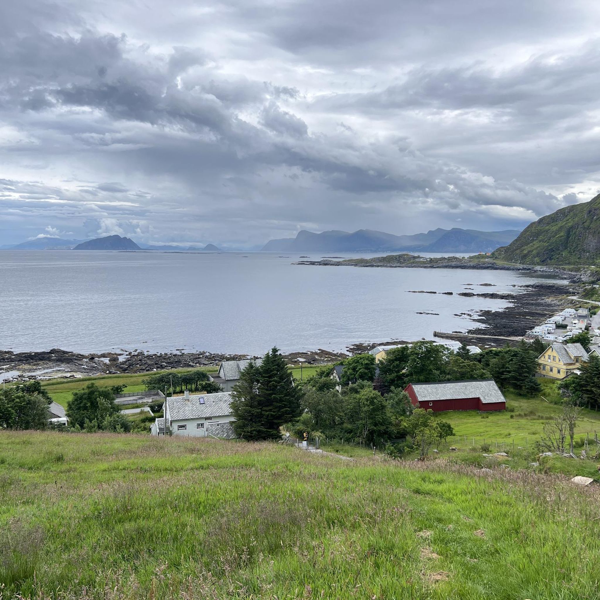
Remøya 섬에는 물이 어디에나 있습니다. 섬을 둘러싼 바다 외에도 이 수생적인 특징을 더욱 향상시키는 작은 호수가 있습니다.
0
0
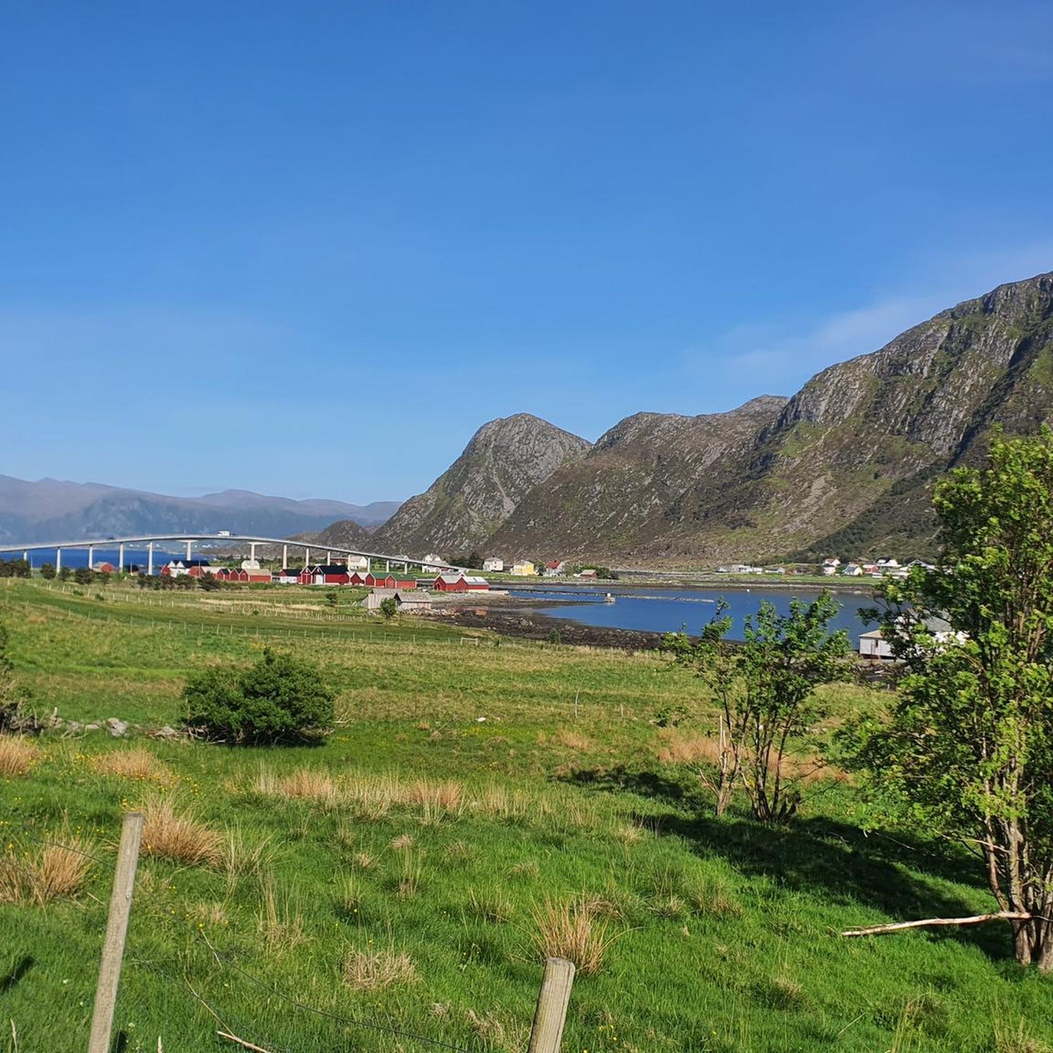
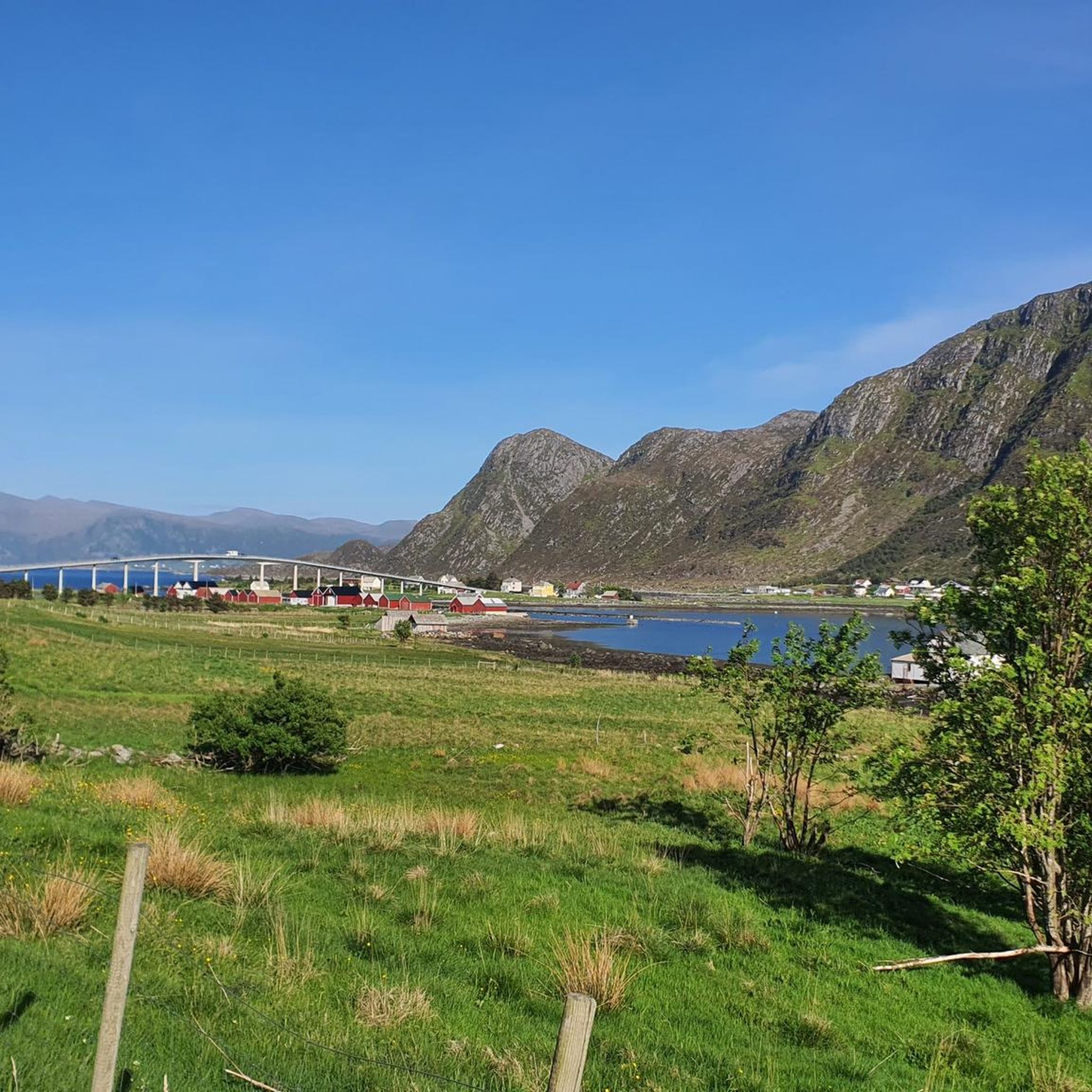
여기 Remøya 섬에서는 맞은편의 여러 섬과 그 섬들을 이루는 봉우리들을 감상할 수 있습니다. Nerlandsøya, Bergsøya 섬과, 무엇보다도 다리 건너편에 있는 Leinøya 섬과 독특한 Leinehornet 봉우리를 볼 수 있습니다.
0
0

This island is not a highly touristic spot so it is not crowded. You can still find many locals. Heavy uphill to reach the upper part. You can perform a 7km loop in the upper part of the island. Wild. Awesome view. Breathtaking view on the Norway Sea. Also, there is a nice camper spot at the arrival to the island. The area is not perfectly prepared for mountain bike, so be extremely respectful of hikers. We do not want this path to be banned for bikes.
0
0

Beautiful view on the way back at night
0
0
In the evening from 8 p.m. the puffins return from their hunt at sea
0
0

Beautiful hike to the bird cliff on Runde - the focus was on the puffins. After an extremely steep climb, which is paved, we follow a well-paved hiking trail to the bird cliff, where the puffins have their breeding grounds. The best time is from 6 p.m. onwards, as this is when they return from the sea and feed their young. We were able to observe several puffins with fish in their beaks.
1
0
헤뢰이 주변에서 가장 인기 있는 경로
헤뢰이 주변에서 가장 인기 있는 명소


더 살펴보기
다른 지역의 최고의 하이킹를 살펴보세요.
