산네스 최고의 러닝 경로
4.4
(14)
1,740
달리기 하는 사람
134
러닝
산네스에서 하이킹하며 로갈랜드 구석 부분까지 살펴볼까요? 산네스에 있는 모든 하이킹 및 워킹 경로 컬렉션 중 가장 멋진 하이킹 경로를 엄선하여 소개해드릴게요. 다른 하이커가 공유한 실제 팁과 사진을 살펴보고 후기를 읽으며 마음에 드는 산네스 워킹 경로를 찾아보세요.
마지막 업데이트: 10월 15, 2026
120
달리기 하는 사람
8.14km
00:50
20m
20m
보통 조깅. 좋은 체력 필요. 대부분 포장된 지면. 실력과 관계없이 누구나 갈 수 있음.
93
달리기 하는 사람
12.3km
01:16
40m
40m
보통 조깅. 좋은 체력 필요. 대부분 포장된 지면. 실력과 관계없이 누구나 갈 수 있음.

5.0
(1)
80
달리기 하는 사람
6.75km
00:45
110m
110m
보통 조깅. 좋은 체력 필요. 대부분 포장된 지면. 실력과 관계없이 누구나 갈 수 있음.
46
달리기 하는 사람
15.4km
02:32
760m
760m
어려운 조깅. 우수한 체력 필요. 튼튼한 신발을 신고 미끄러지지 않게 조심해야 하며, 높은 산을 오른 경험이 있어야 함.
46
달리기 하는 사람
10.2km
01:35
500m
500m
어려운 조깅. 우수한 체력 필요. 튼튼한 신발을 신고 미끄러지지 않게 조심해야 하며, 높은 산을 오른 경험이 있어야 함.
더 다양한 경로와 다른 탐험가들의 추천을 살펴보세요.
이미 komoot 계정이 있나요?
투어 추천은 다른 사람들이 komoot에서 완료한 수천 개의 활동을 바탕으로 구성되어 있습니다.
오늘 무료 계정으로 시작하세요
다음 모험이 기다리고 있어요.
산네스 주변 인기 장소
커뮤니티 팁

Stokkelandsvatnet is a lake located in Ganddal, Sandnes. The loop the water shore is about 4 kilometers long on a flat, well-maintained gravel path, making it perfect for walking, running, or cycling. The area is known for its rich birdlife, often visible from the trail. It connects seamlessly to the end of Sandvedparken, allowing you to extend your route from the city center.
0
0
Planetstien turns your hike through Sandvedparken into a journey through the solar system. Stretching along the Storåna river, this 1:1 billion scale model starts with the Sun near Sandnes center and ends with Pluto towards Ganddal. It is a flat, easy gravel path suitable for cycling and walking. As you travel the green corridor, you pass sculptures representing each planet at their relative distances.
0
0

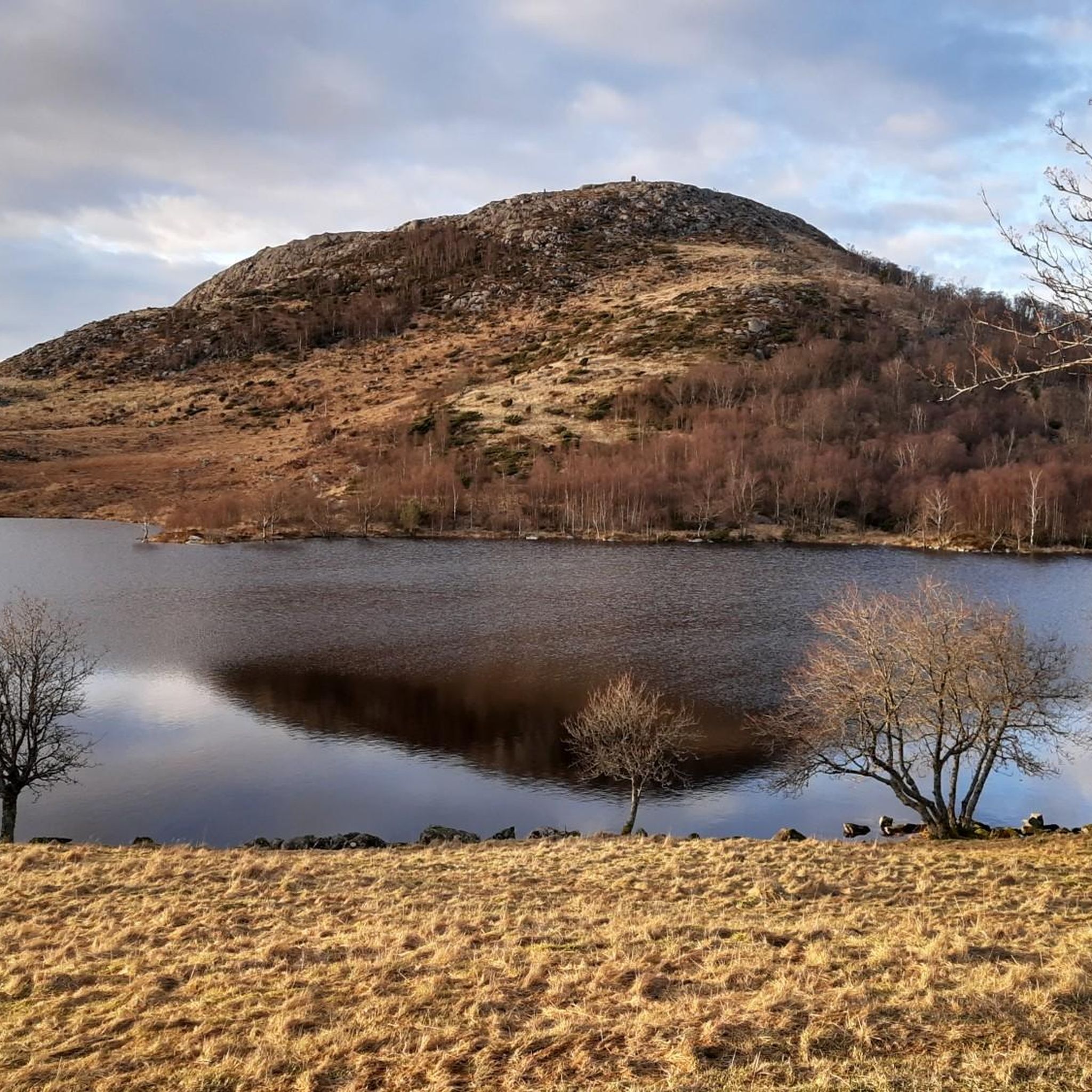
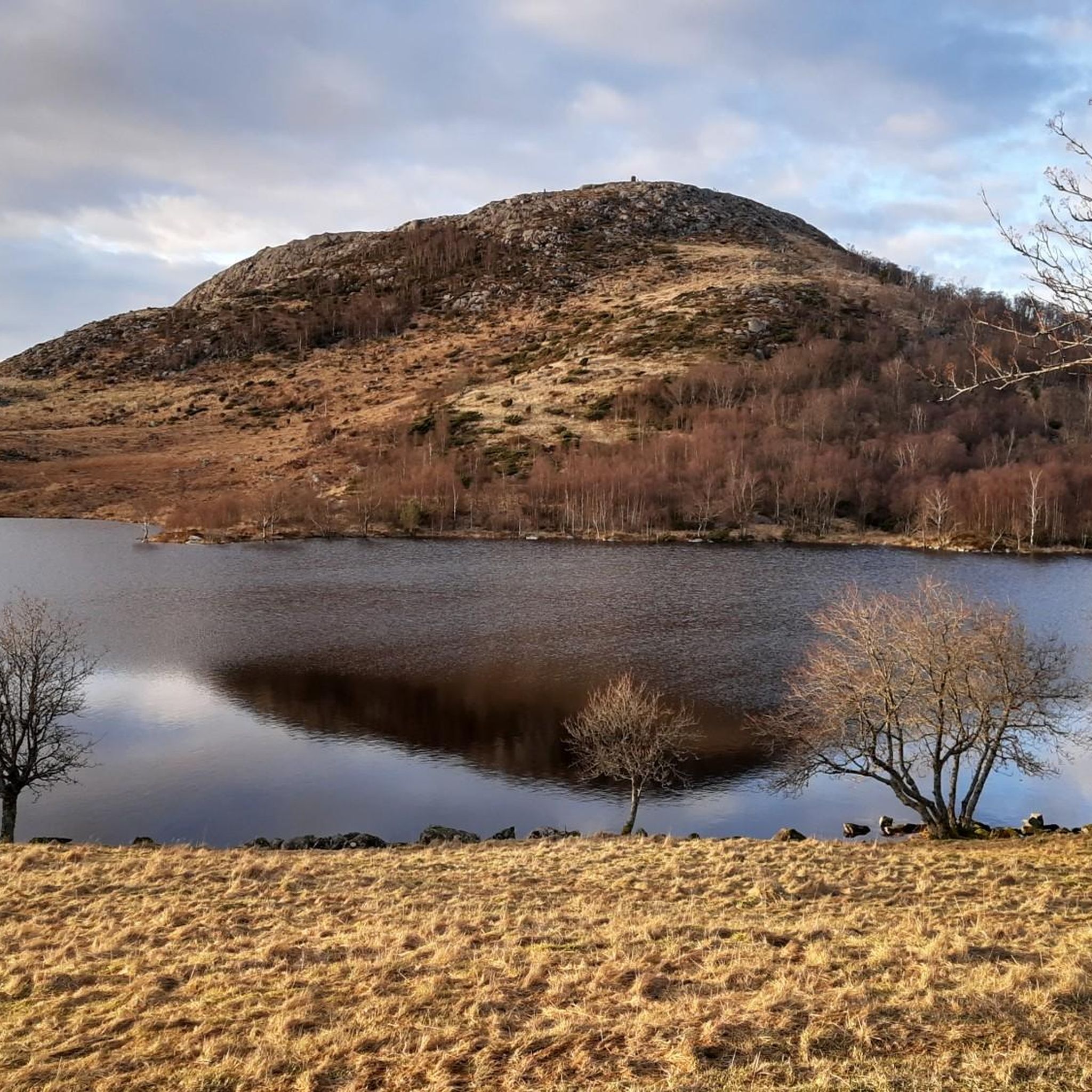
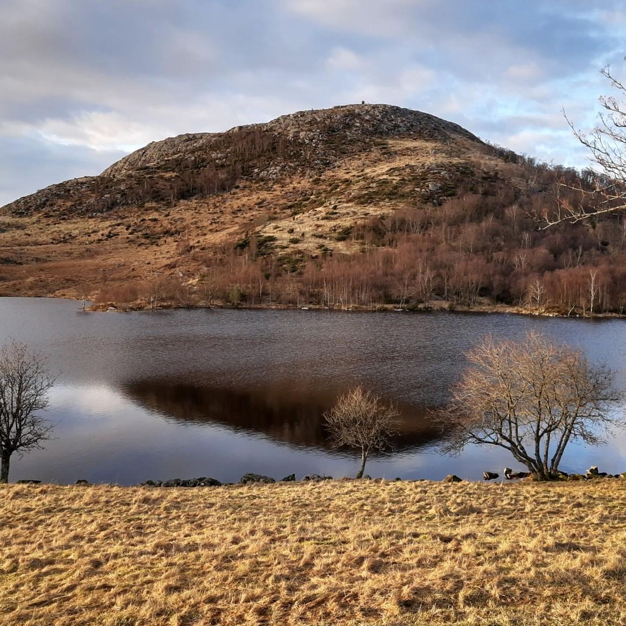
The 323-meter-high Dalsnuten mountain is located in the Sandnes region and offers breathtaking views. My experience: What Norwegians call an easy hike, I would classify as moderately difficult. Those who turn off directly at the lake are taking the "easier" option.
0
1
Those coming from the parking lot can choose which route they want to take: going straight ahead is a slightly more challenging path, while turning left behind the lake is a slightly more gentle route. Of course, you can also make it a circular route.
0
0

Be prepared to either climb up or down. fairly steep!
0
0

Beautiful small lake along your way up to the Dalsnuten. Take a picture or even a break in this nice spot.
1
1

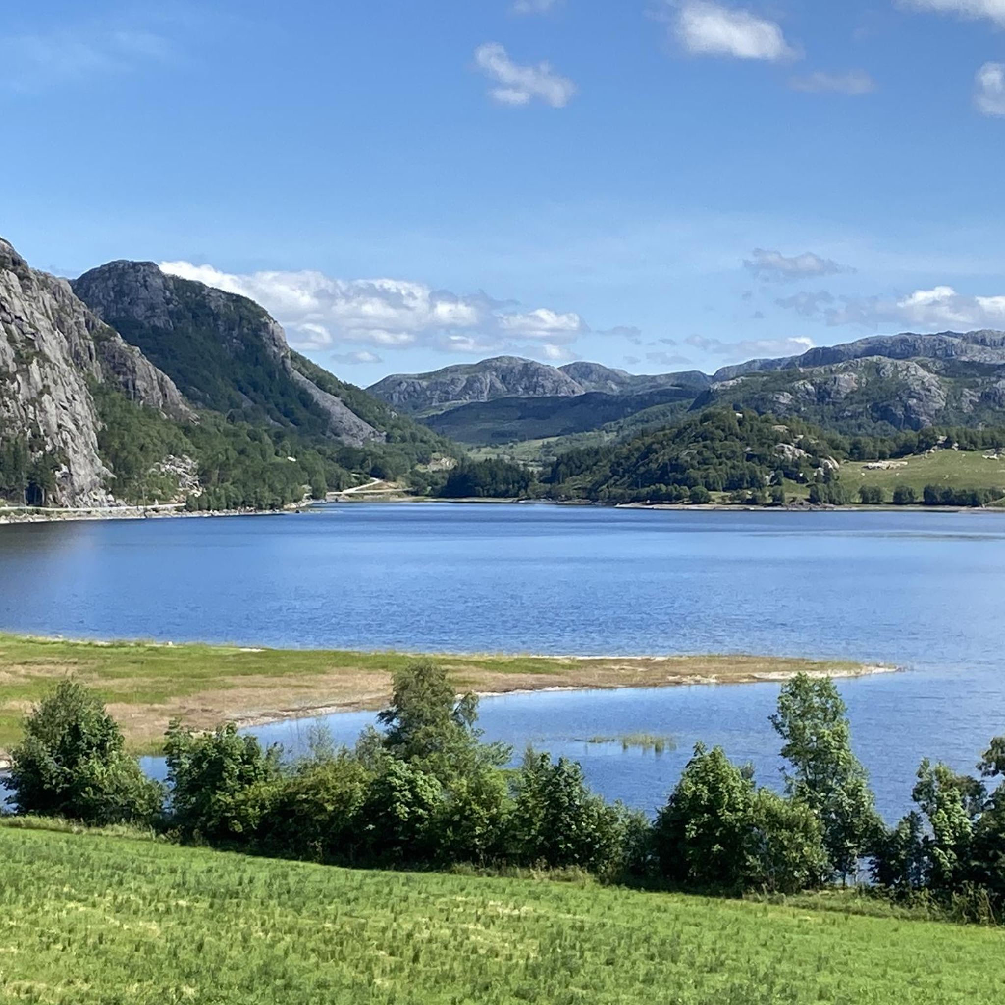
Great views of the Gandsfjord, the greater Stavanger area and the snow-capped mountains to the west. It is best to walk the summit circuit anti-clockwise, then you climb the steepest part of the route upwards.
2
0

Can be reached from Gramstad or Lutsivatn/paradisskaret. Recommend detours or round trips over Bjørndalsfjellet!
0
0
산네스 주변에서 가장 인기 있는 명소


더 살펴보기
다른 지역의 최고의 러닝 트레일 & 경로를 살펴보세요.
