함메 최고의 MTB 라이딩 경로
4.2
(640)
7,336
자전거 타는 사람
18
라이딩
함메에 있는 멋진 산악자전거 라이딩 경로를 따라 어디로 가 볼까요? 함메에 있는 MTB 경로 컬렉션 중에서 가장 멋진 장소를 아래에서 살펴보세요.
마지막 업데이트: 10월 22, 2026
4.6
(63)
683
자전거 타는 사람
46.4km
03:04
170m
170m
보통 산악 자전거 타기. 좋은 체력 필요. 뛰어난 라이딩 실력이 필요함.
37
자전거 타는 사람
43.3km
02:48
50m
50m
보통 산악 자전거 타기. 좋은 체력 필요. 뛰어난 라이딩 실력이 필요함.

5.0
(2)
34
자전거 타는 사람
29.0km
01:50
30m
30m
보통 산악 자전거 타기. 모든 체력 수준에 적합. 뛰어난 라이딩 실력이 필요함.
4.0
(2)
32
자전거 타는 사람
29.8km
01:34
30m
30m
초급용 산악자전거 라이딩. 모든 체력 수준에 적합. 실력과 관계없이 누구나 갈 수 있음.
35
자전거 타는 사람
3.99km
00:17
10m
10m
초급용 산악자전거 라이딩. 모든 체력 수준에 적합. 실력과 관계없이 누구나 갈 수 있음.
더 다양한 경로와 다른 탐험가들의 추천을 살펴보세요.
이미 komoot 계정이 있나요?
투어 추천은 다른 사람들이 komoot에서 완료한 수천 개의 활동을 바탕으로 구성되어 있습니다.
오늘 무료 계정으로 시작하세요
다음 모험이 기다리고 있어요.


커뮤니티 팁

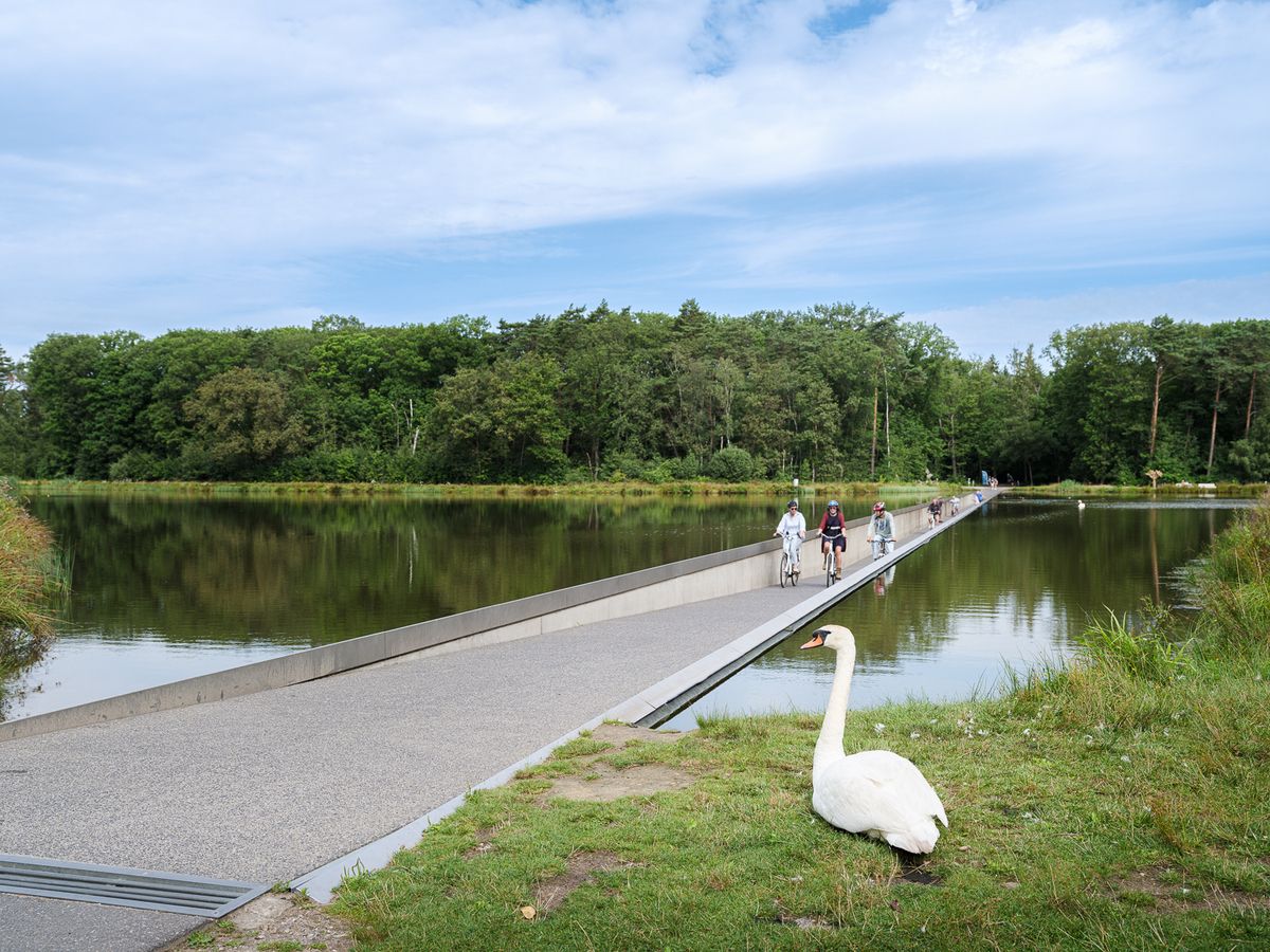
묠렌브로이크베이 연못 옆길. 산책하기 좋아요. 낚시꾼들을 방해하지 마세요.
6
0
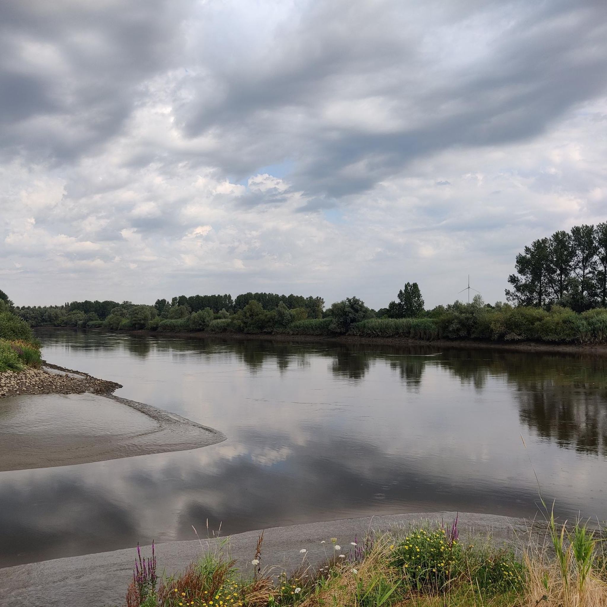
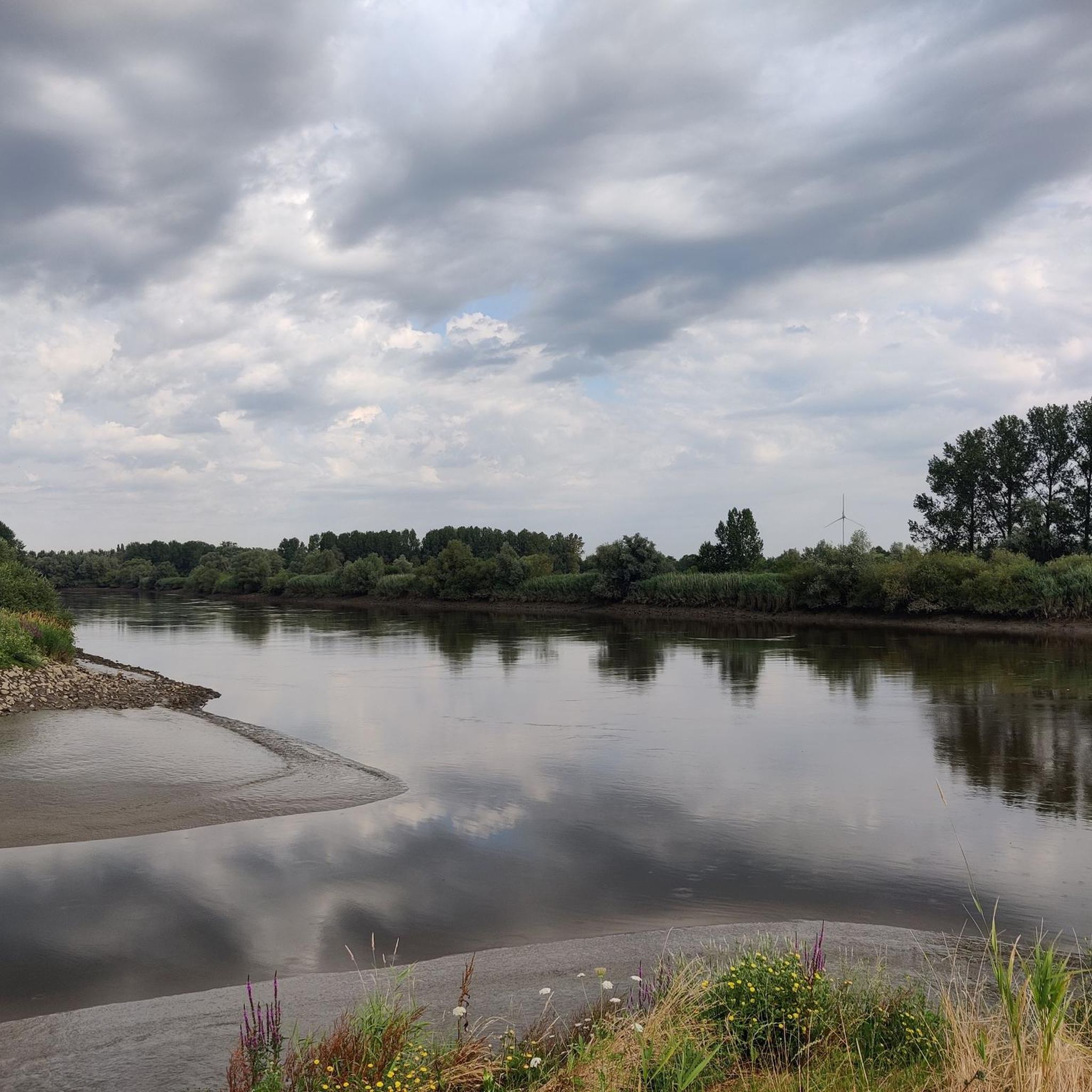
From the info hut, you have a beautiful view of the Mirabrug over the Durme.
3
0

Vlassenbroekbrug(N41)의 가장 흥미로운 비밀은 다리가 실제로 절반이 비어 있으며 결코 실현되지 않은 고속도로를 위해 건설되었다는 것입니다. 다리를 운전하거나 자전거를 타고 건널 때 즉시 눈에 띕니다: 2x2 차선을 위해 건설됨: 1979년 콘크리트 박스 거더 교량이 개통되었을 때, 정부는 N41이 Sint-Niklaas와 Aalst 사이의 주요 고속도로(또는 고속도로)가 될 것이라고 예상했습니다. 따라서 건설 당시 이미 4차선으로 충분히 넓게 만들어졌습니다. 완성되지 않음: N41의 완전한 확장을 위한 계획은 시위와 변화하는 통찰력으로 인해 중단되었습니다. 결과적으로 다리의 서쪽 절반은 자동차용으로 아스팔트 포장이 된 적이 없습니다. 자전거 이용자를 위한 천국: 원래 두 번째 차선이 있어야 할 곳에는 이제 거대하고 넓은 별도의 자전거 도로가 있습니다. 따라서 셸데 강을 건너는 자전거 이용자들은 미완성된 벨기에 도로 역사의 일부를 상기시키는 특별한 공간을 누릴 수 있습니다.
1
0
Leuke gravel loopt parallel met de Oude Durme. Rustbanken nodigen uit tot verpozen.
2
0
Good unpaved path on an inner dike. If it's too muddy due to wet weather, you can take the adjacent concrete road below.
12
0

most beautiful bridge in the world. Enough!
1
0
함메 주변에서 가장 인기 있는 명소


더 살펴보기
다른 지역의 최고의 MTB 트레일를 살펴보세요.
