리에르드 최고의 워킹 & 하이킹 경로
4.4
(424)
1,363
등산객
139
하이킹
정확한 경로를 찾는 것이 때로는 어렵지만 리에르드에서 하이킹을 하면 다양한 경치를 마음껏 감상할 수 있답니다. 리에르드에서 가장 멋진 하이킹과 워킹 중에서 마음에 드는 활동을 시작해보세요.
마지막 업데이트: 10월 7, 2026
4.3
(20)
95
등산객
13.9km
03:37
90m
90m
보통 하이킹. 좋은 체력 필요. 실력과 관계없이 누구나 쉽게 갈 수 있는 길.
4.5
(14)
46
등산객
8.47km
02:12
50m
50m
보통 하이킹. 좋은 체력 필요. 실력과 관계없이 누구나 쉽게 갈 수 있는 길.

5.0
(2)
32
등산객
4.20km
01:06
30m
30m
초급용 하이킹. 모든 체력 수준에 적합. 실력과 관계없이 누구나 쉽게 갈 수 있는 길.
4.0
(2)
28
등산객
4.10km
01:05
40m
40m
초급용 하이킹. 모든 체력 수준에 적합. 실력과 관계없이 누구나 쉽게 갈 수 있는 길.
5.0
(1)
12
등산객
22.1km
05:54
250m
250m
어려운 하이킹. 우수한 체력 필요. 실력과 관계없이 누구나 쉽게 갈 수 있는 길.
더 다양한 경로와 다른 탐험가들의 추천을 살펴보세요.
이미 komoot 계정이 있나요?
투어 추천은 다른 사람들이 komoot에서 완료한 수천 개의 활동을 바탕으로 구성되어 있습니다.
오늘 무료 계정으로 시작하세요
다음 모험이 기다리고 있어요.

커뮤니티 팁

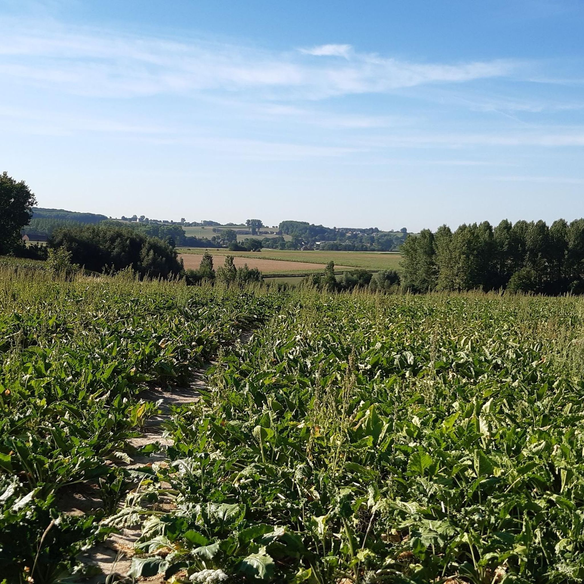
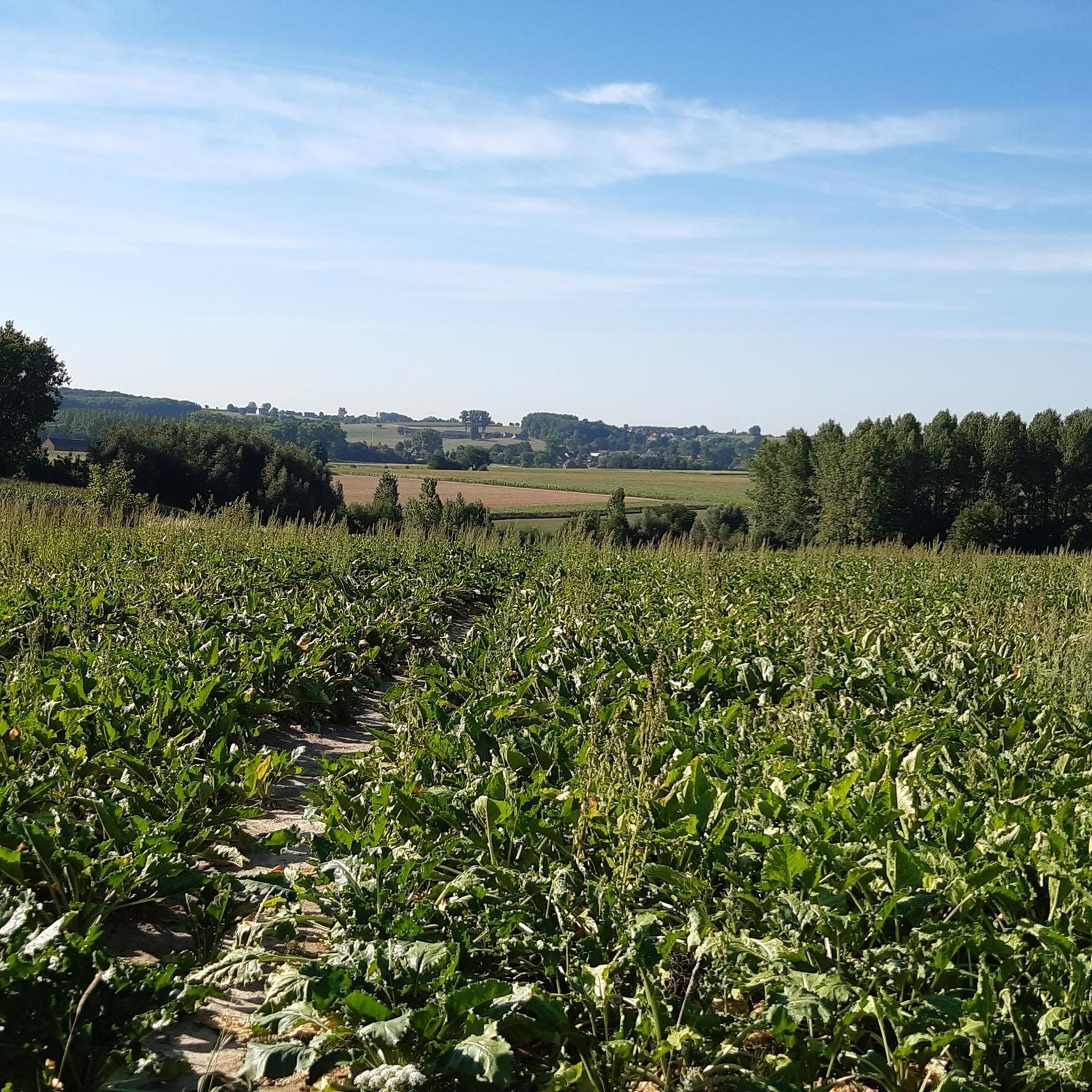
De Vlamme – 자전거 타는 사람에게는 오르막, 걷는 사람에게는 즐거움 사이클리스트들은 De Vlamme를 플랑드르 아르덴의 험난한 오르막길로 주로 알고 있지만, 걷는 사람들은 이곳에서 전혀 다른 매력을 발견합니다. 바로 구불구불한 풍경을 내려다보는 멋진 전망입니다. 🌾 비포장된 움푹 파인 도로는 울창한 Steenbergse Bossen을 따라 구불구불 이어지며, 이는 공인된 자연 보호 구역인 Middenloop Zwalm의 일부인 아름다운 자연입니다. 따라서 경주용 다리는 필요 없습니다… 그냥 천천히 걷고, 풍경을 즐기고, 가끔 뒤를 돌아보세요. 😉 De Vlamme는 경사가 항상 정복되어야 하는 것은 아니라는 것을 증명합니다. 때로는 그냥 즐기는 것이 훨씬 더 재미있습니다!
2
0

이 오솔길의 이름은 수다쟁이나 험담꾼의 별명이었던 Clappaert라는 성에서 유래했을 가능성이 가장 높습니다. 출처: "Toponymie van Sint-Goriks-Oudenhove tot 1650", UGent
2
0


Be careful, because this path is in need of some renovation in some places. But if you're careful, it's still a beautiful section.
1
0

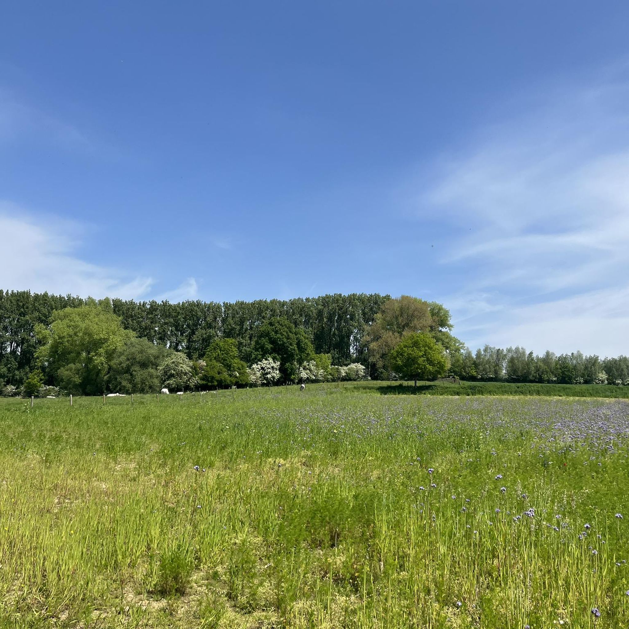
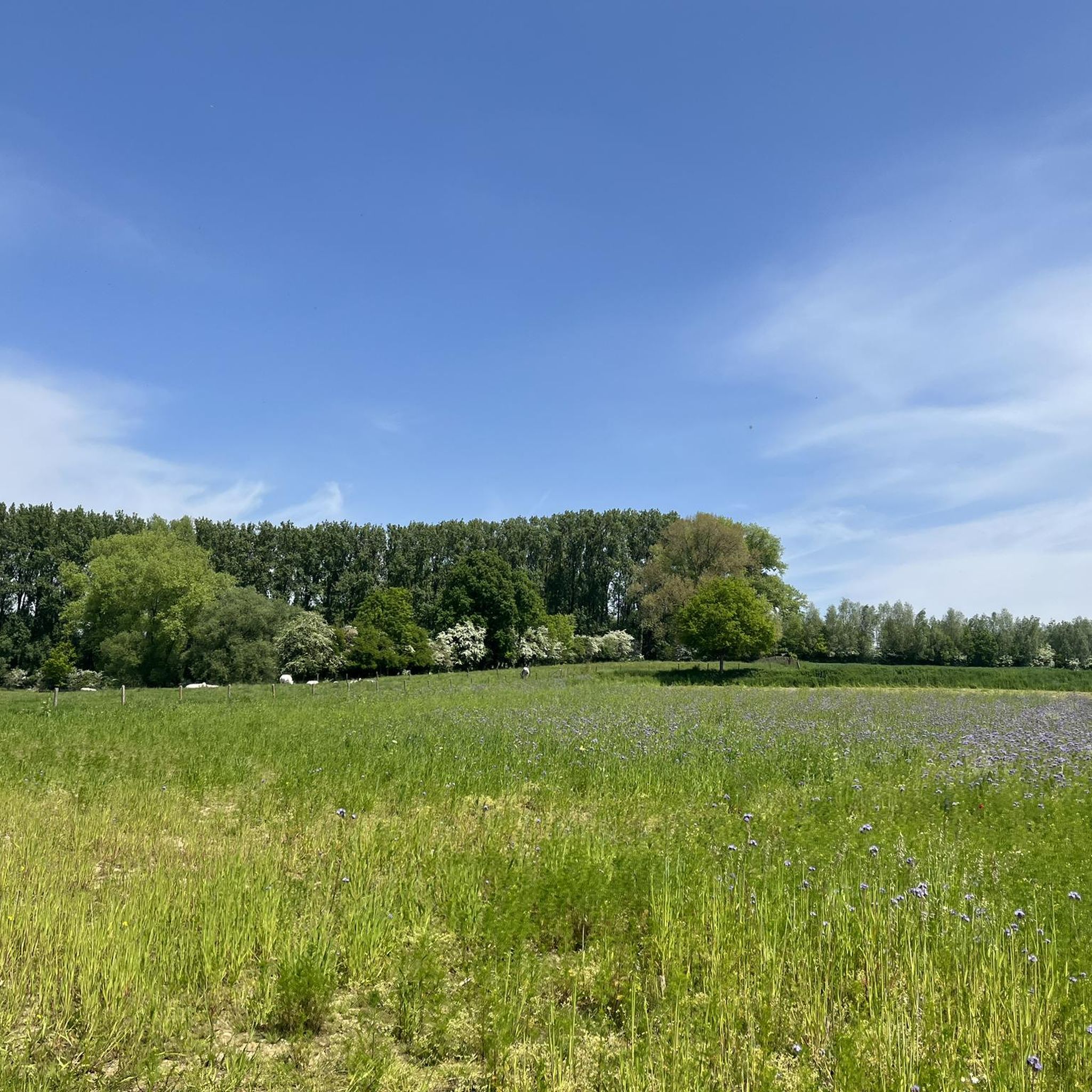
Beautiful nature reserve with many spring zones where a yellow sea of Marsh Marigolds can be seen in the spring.
2
0

A former watermill on the Watermolenbeek stream, formerly owned by the Van Der Stock miller family, who also owned windmills, including the Bellinckmolen in Deftinge. It remained operational until the mid-20th century, but then fell into disrepair due to its vacancy. The completely rusted paddle wheel disappeared. Only the weir and bridge span remain. During heavy rainfall, the stream becomes a roaring waterfall, but most of the time you'll be gazing at the rippling water as it continues its journey via Gemeldorp, Schendelbeke, and so on to the Dender River. This stream also forms the border between the sub-municipalities of Deftinge and Sint-Martens-Lierde. The street in both sub-municipalities had the same name, and this remained the case after the merger. The mill is said to have once belonged to the Carthusians of Sint-Maartens-Bos. (Information board on site)
10
0
This is a sort of niche chapel in the side wall of a house with bars in front. This chapel is in urgent need of restoration. The mural is badly damaged.
11
0


