코고르노 최고의 워킹 & 하이킹 경로
4.6
(1659)
6,845
등산객
17
하이킹
정확한 경로를 찾는 것이 때로는 어렵지만 코고르노에서 하이킹을 하면 다양한 경치를 마음껏 감상할 수 있답니다. 코고르노에서 가장 멋진 하이킹과 워킹 중에서 마음에 드는 활동을 시작해보세요.
마지막 업데이트: 8월 30, 2026
4.7
(7)
43
등산객
4.67km
01:34
160m
170m
Hike the moderate 2.9-mile San Giacomo Massif Loop, gaining 533 feet in 1 hour and 34 minutes, featuring views from Monte Rocchette.
7.57km
02:33
370m
370m
Forest trail through historic slate quarries to stunning Mediterranean views over Palmaria Island.

무료 회원 가입
4.8
(15)
43
등산객
6.95km
02:21
220m
220m
보통 하이킹. 좋은 체력 필요. 대부분 갈 수 있는 길. 미끄러지지 않게 조심해야 함.
5.0
(4)
11
등산객
3.86km
01:24
140m
140m
보통 하이킹. 모든 체력 수준에 적합. 대부분 갈 수 있는 길. 미끄러지지 않게 조심해야 함.
5.0
(1)
10
등산객
7.74km
03:29
590m
590m
보통 하이킹. 좋은 체력 필요. 대부분 갈 수 있는 길. 미끄러지지 않게 조심해야 함.
더 다양한 경로와 다른 탐험가들의 추천을 살펴보세요.
무료 회원 가입
이미 komoot 계정이 있나요?
투어 추천은 다른 사람들이 komoot에서 완료한 수천 개의 활동을 바탕으로 구성되어 있습니다.
오늘 무료 계정으로 시작하세요
다음 모험이 기다리고 있어요.
로그인 또는 가입하기

커뮤니티 팁

그는 1945년 파시스트들에게 살해당했습니다.
0
0

I got there hoping for a viewpoint, but it's a crossroads in the woods. No need to deviate from the path to get here.
0
0

looking at the Madonnina, behind you the path that goes down to Crocetta - S.Giulia. on the right the path called "Cacciatori" starts. To the right you reach Capenardo and to the left you go towards S.Giacomo
0
0

Above the municipality of Cogorno, in the metropolitan city of Genoa, walking on the ridge of Mount Le Rocchette is certainly one of the best experiences that those who walk in these areas can have. In ancient times, slate, a metamorphic rock of sedimentary origin, was extracted in these areas.
1
1

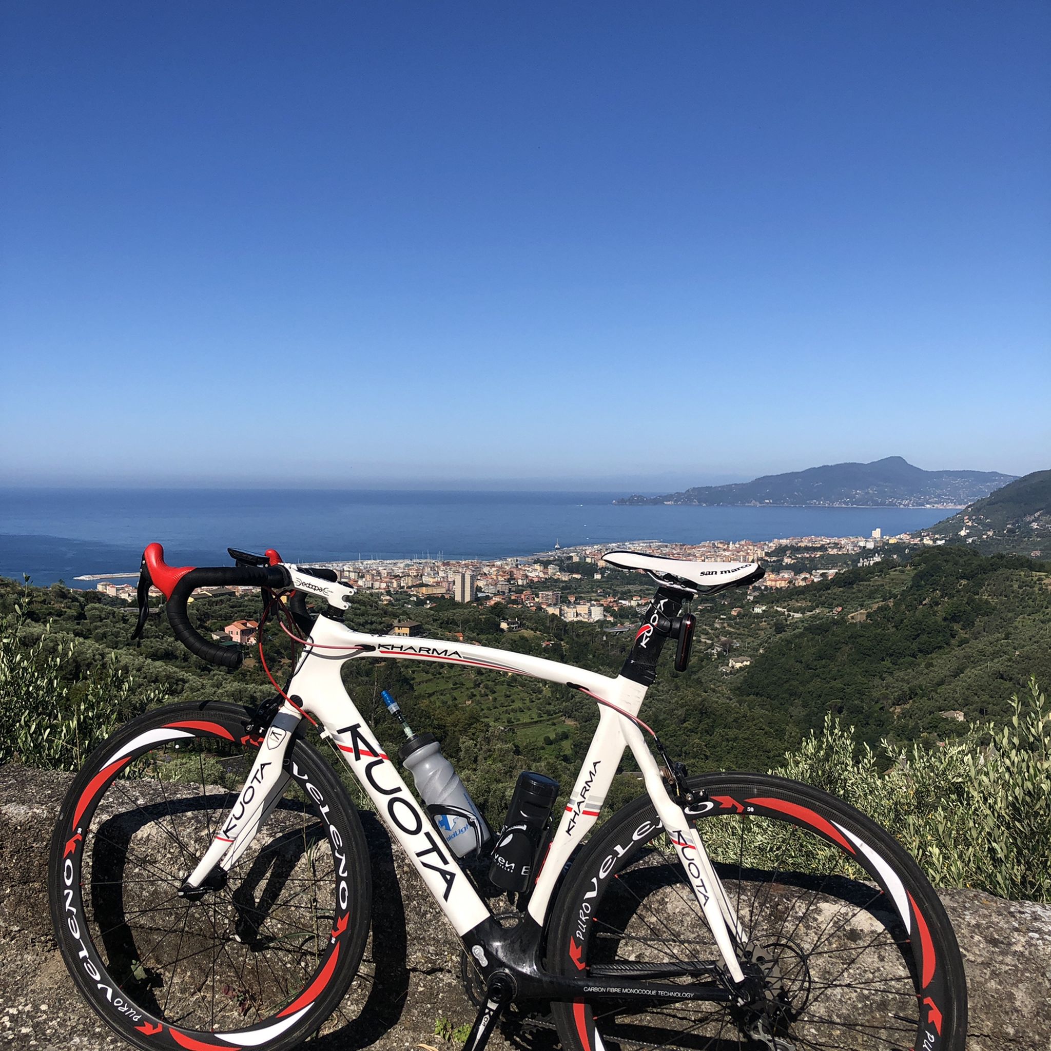
Climbing Monte San Giacomo, despite being only 530 m above sea level and a few km of climb, is never trivial from any of the three sides. One for the other they have slopes of up to 15% and decidedly narrow streets, in particular the one from Via Renda. Furthermore, the one from Tolceto has a decidedly bad surface. The descents are more difficult than the climbs: it is easy to find damp and treacherous curves and cars in narrow passages!
0
0

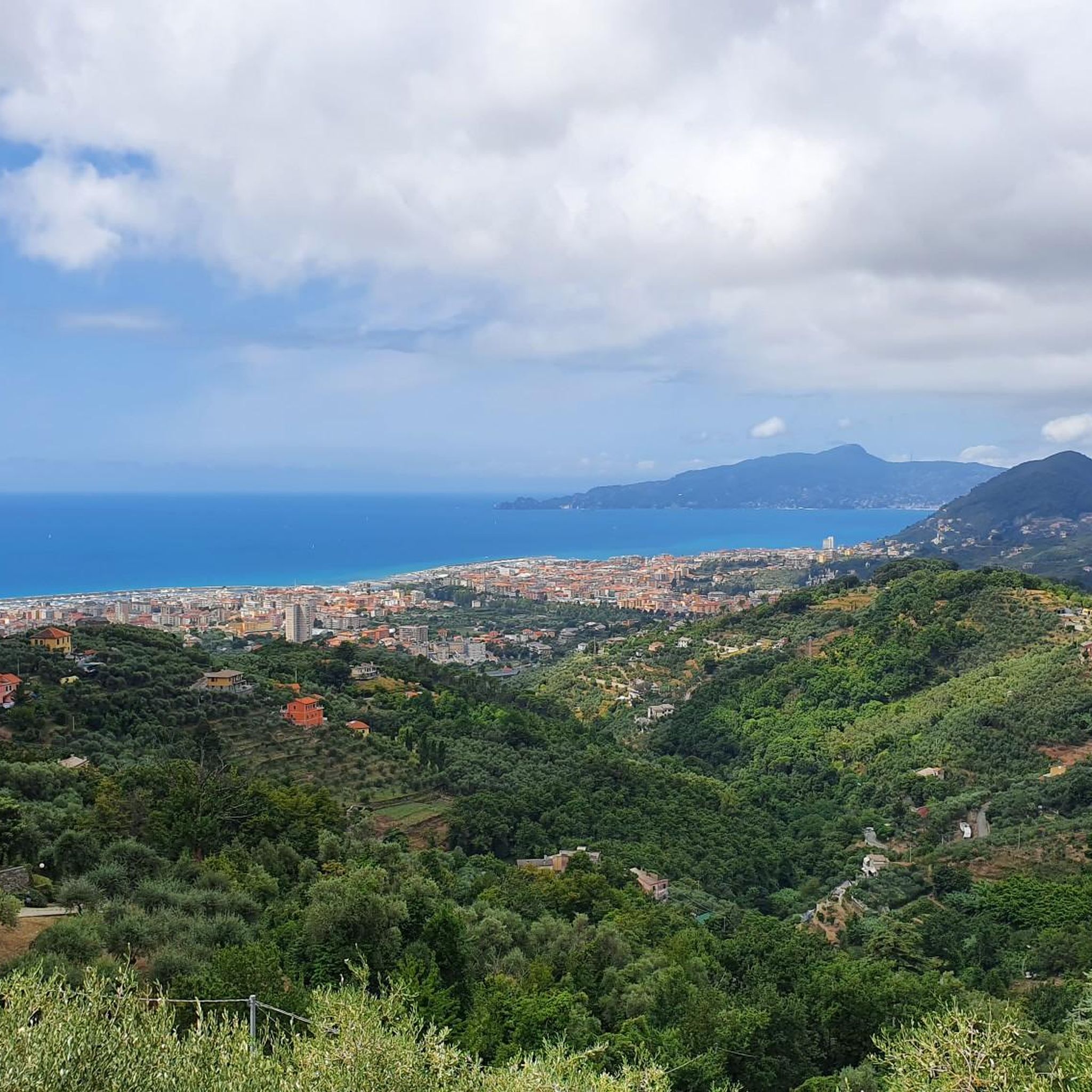
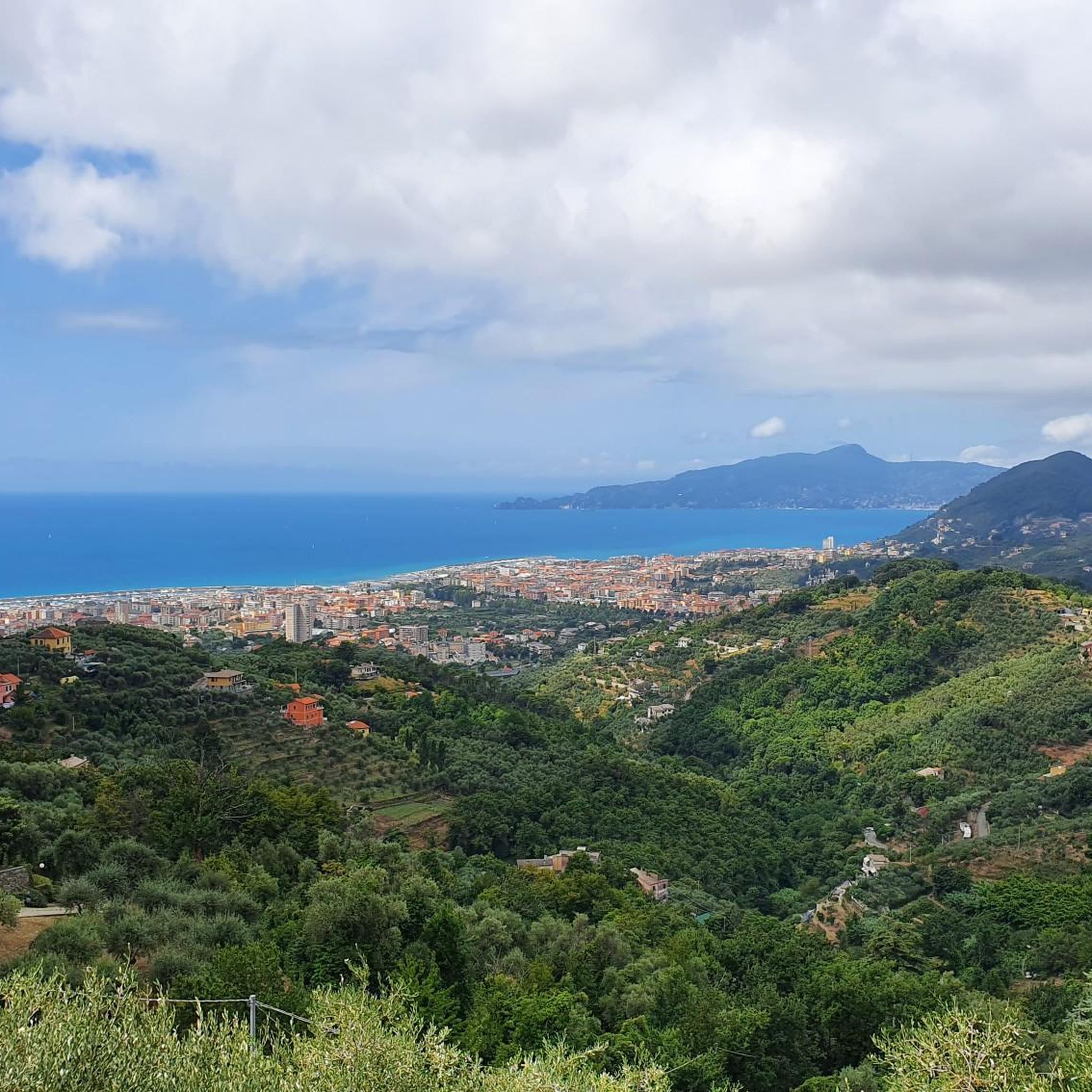
Panoramic point on the side of Mount Capenardo. While the mountain does not offer a very interesting view, this point, however, is splendid. Ideal for a break.
3
0

Footpath from Villa Loto towards La Selva
0
0
코고르노 주변에서 가장 인기 있는 명소


더 살펴보기
다른 지역의 최고의 하이킹를 살펴보세요.
