쿠르마유어 최고의 MTB 라이딩 경로
4.4
(190)
1,665
자전거 타는 사람
34
라이딩
쿠르마유어에 있는 멋진 산악자전거 라이딩 경로를 따라 어디로 가 볼까요? 쿠르마유어에 있는 MTB 경로 컬렉션 중에서 가장 멋진 장소를 아래에서 살펴보세요.
마지막 업데이트: 10월 4, 2026
4.6
(31)
245
자전거 타는 사람
49.0km
05:16
1,710m
1,710m
The Col des Chavannes — Giro ad anello is a difficult mountain biking loop that takes you on a 30.4-mile (49.0 km) journey through Italy's Aosta Valley. You will climb…
4.6
(27)
222
자전거 타는 사람
28.5km
03:58
1,010m
1,010m
Embark on a challenging mountain biking adventure through Val Ferret from Courmayeur, a difficult route spanning 17.7 miles (28.5 km). You will conquer a significant 3319 feet (1012 metres) of…

4.2
(13)
74
자전거 타는 사람
17.2km
02:22
860m
30m
어려운 산악 자전거 타기. 좋은 체력 필요. 뛰어난 라이딩 실력이 필요함. 투어 중 자전거를 끌고 가야 하는 구간이 있을 수 있음.
4.3
(7)
47
자전거 타는 사람
6.88km
00:39
110m
110m
The "Tour of the Three Bridges" offers a challenging mountain biking experience through Val Veny. This difficult route spans 4.3 miles (6.9 km), climbing 359 feet (109 metres) in just…
4.8
(23)
201
자전거 타는 사람
63.9km
06:08
2,050m
2,050m
어려운 산악 자전거 타기. 우수한 체력 필요. 실력과 관계없이 누구나 갈 수 있음.
더 다양한 경로와 다른 탐험가들의 추천을 살펴보세요.
이미 komoot 계정이 있나요?
투어 추천은 다른 사람들이 komoot에서 완료한 수천 개의 활동을 바탕으로 구성되어 있습니다.
오늘 무료 계정으로 시작하세요
다음 모험이 기다리고 있어요.
쿠르마유어 주변 인기 장소
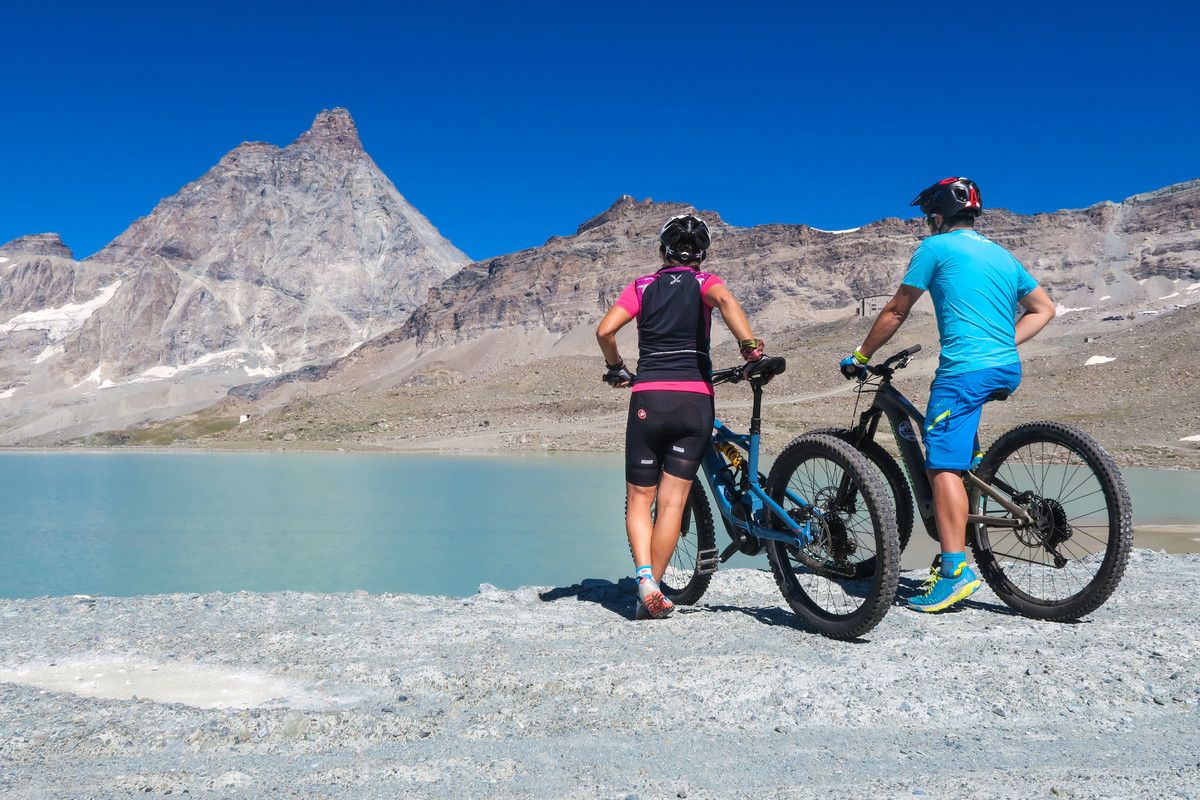
The Aosta Valley by MTB – between valleys and majestic peaks
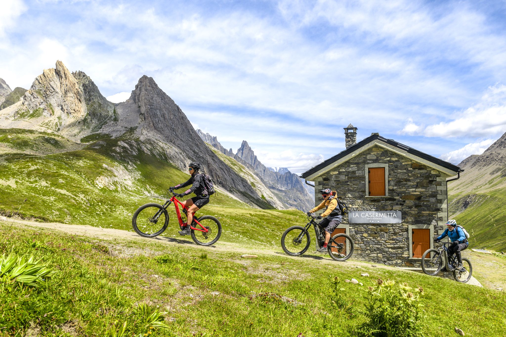
The Aosta Valley by e-MTB – alpine landscapes, castles and glaciers
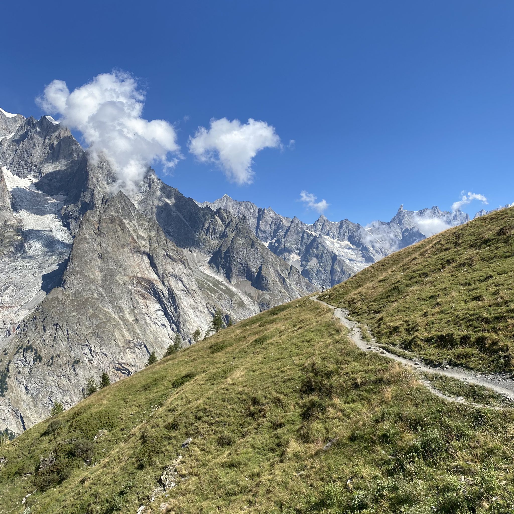
공이일 오르 인스타일 아니다 - Mont Blanc MTB Tour
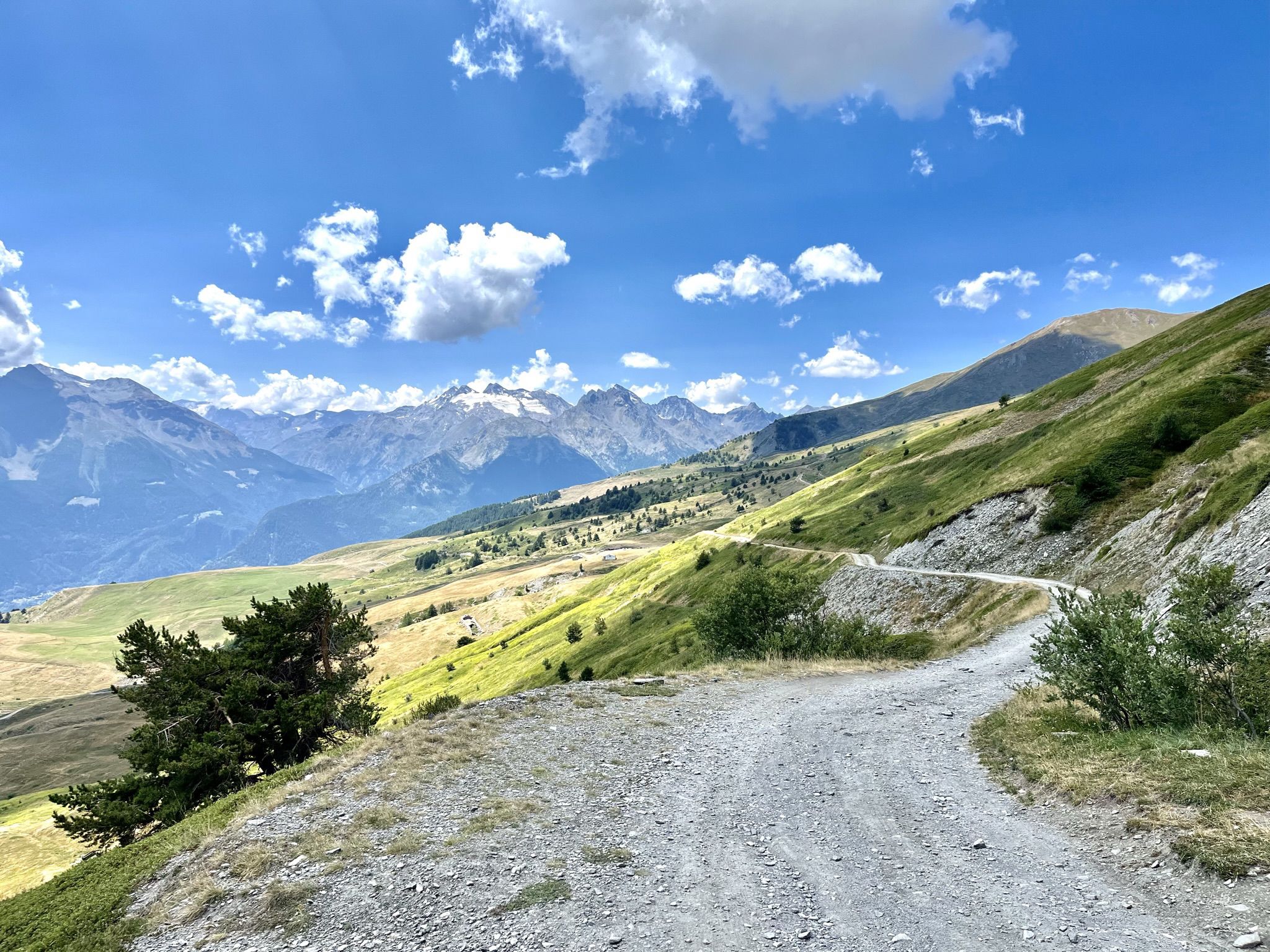
Mountain biking with a glacier backdrop – rides in Italy’s Aosta Valley

Alta Via n. 1 of the Aosta Valley — a walk among Italian giants
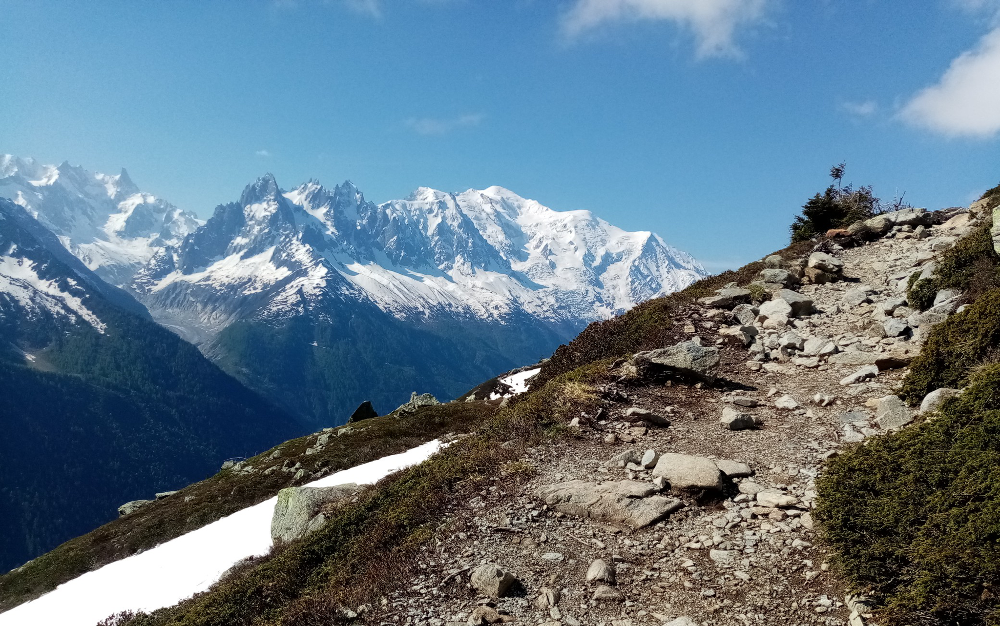
울트라-트레일 듀 몽블랑 - 전설의 자취를 따라
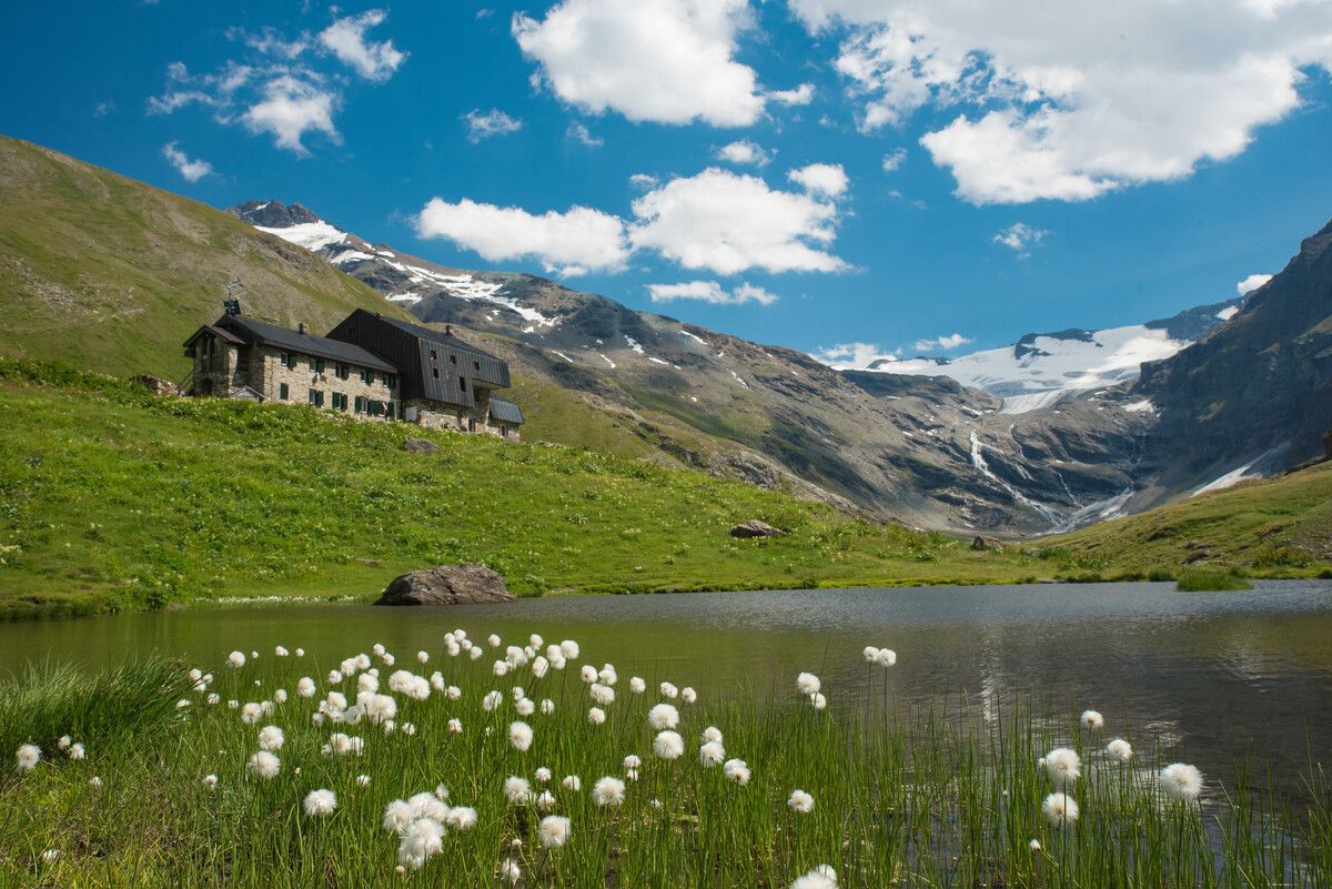
Hiking to the Aosta Valley’s mountain huts: 10 beautiful trails

Alta Via n. 2 of the Aosta Valley — high peaks and beautiful valleys in Italy
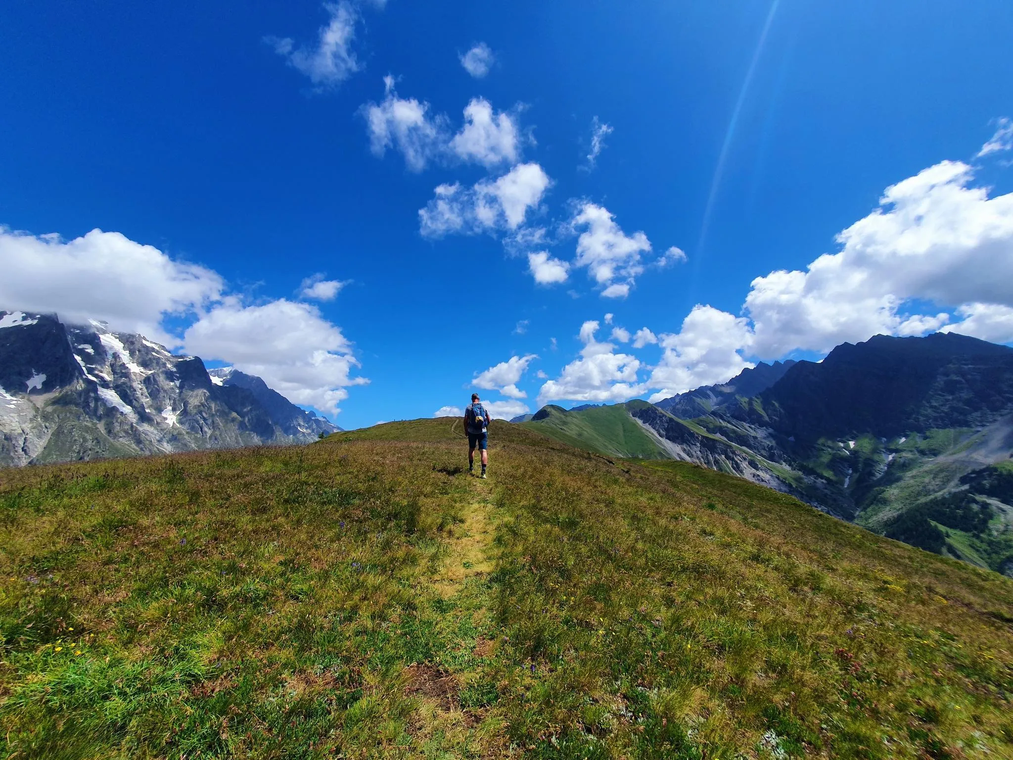
몽블랑 전망 - 쿠르마이어에서 트레일 러닝
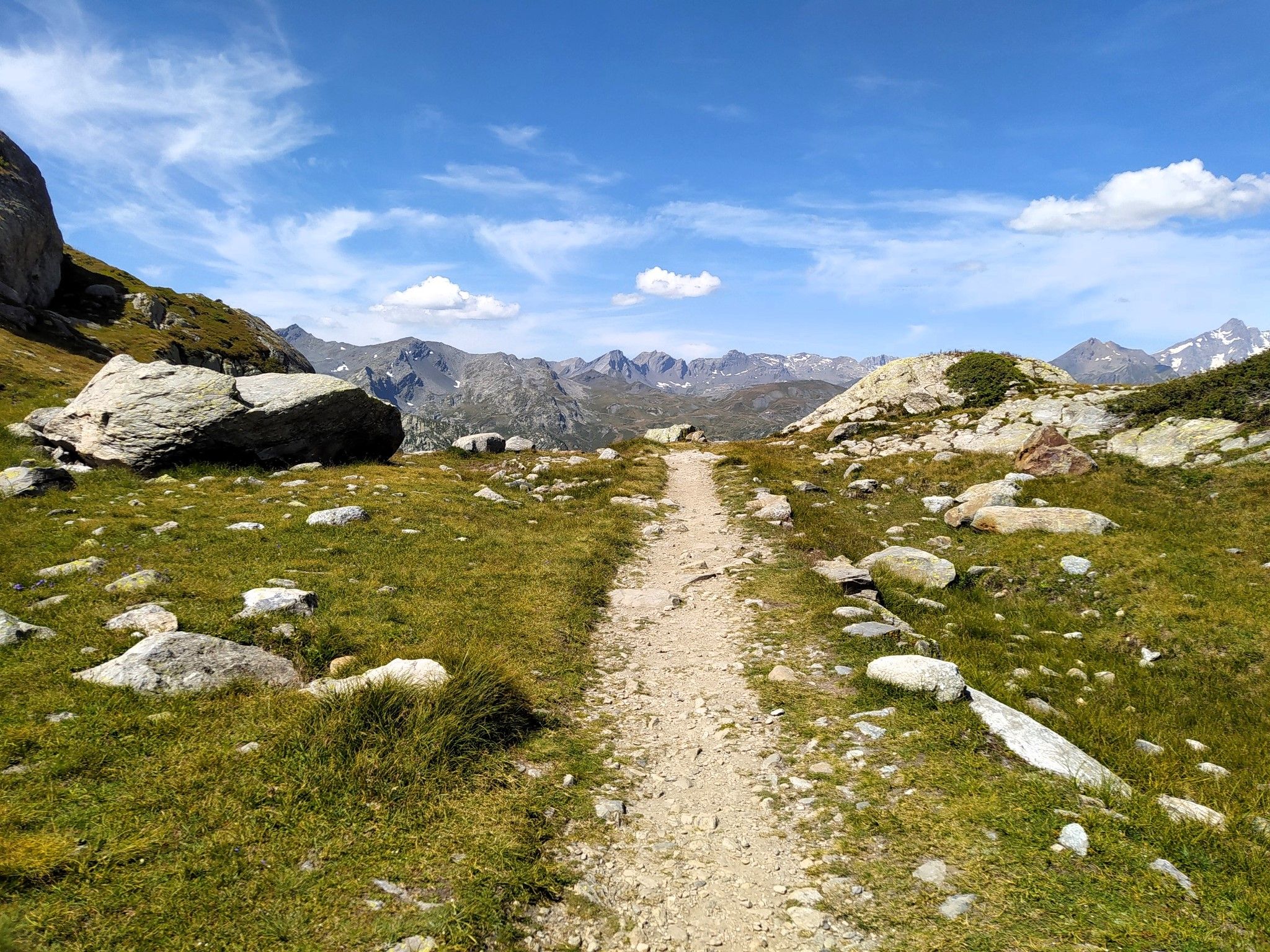
천국에서 달리기 - Valle d'Aosta의 Alta Via 2
쿠르마유어 주변의 다른 모험


커뮤니티 팁

알페 샤반느 쉬페리외르는 초원과 넓은 공간으로 둘러싸인 샤반느 계곡에 자리한 고산 목초지입니다. 이곳에서 풍경은 프랑스와의 국경을 표시하는 봉우리와 고갯마루를 향한 탁 트인 전망과 함께 확실히 더 알프스적인 풍경이 됩니다.
0
0

The climb in the proper sense ends at Planpincieux, from there you proceed on a long slight slope that allows you to enjoy the splendid nature of the valley and the immensity of Mont Blanc, after passing Lavachey, you regain altitude with a couple of hairpin bends and return on a slight slope that leads to Arpnouva where the road ends.
5
0

You can reach the Monte Bianco refuge
0
0

My video of the Courmayeur Col de la Seigne and Col des Chavannes loop: https://youtu.be/W30tTDxSXjM
1
0

Breathtaking mountain range that never fails to inspire
1
0

The first hairpin bends are almost impossible to ride. There are currently washed-out areas. Even for experienced bikers, it is difficult to ride. At the bottom, it is flowier and more fun.
0
0
Wonderful view from the pass. The downhill is quite steep at the beginning.
1
0
Unreal but real. Clear water borders on blue glacier water.
1
0


더 살펴보기
다른 지역의 최고의 MTB 트레일를 살펴보세요.
