쿠나르도 최고의 워킹 & 하이킹 경로
4.4
(6707)
29,471
등산객
702
하이킹
정확한 경로를 찾는 것이 때로는 어렵지만 쿠나르도에서 하이킹을 하면 다양한 경치를 마음껏 감상할 수 있답니다. 쿠나르도에서 가장 멋진 하이킹과 워킹 중에서 마음에 드는 활동을 시작해보세요.
마지막 업데이트: 10월 27, 2026
3.9
(14)
27
등산객
5.60km
01:39
150m
150m
초급용 하이킹. 쉽게 걸을 수 있는 길.

4.0
(9)
38
등산객
24.8km
06:50
420m
420m
어려운 하이킹. 우수한 체력 필요. 쉽게 걸을 수 있는 길.
4.5
(2)
4
등산객
9.41km
03:00
380m
380m
보통 하이킹. 좋은 체력 필요. 대부분 걸을 수 있는 길. 안정적인 보행이 필요함.
2
등산객
8.40km
02:54
380m
380m
보통 하이킹. 좋은 체력 필요. 대부분 걸을 수 있는 길. 안정적인 보행이 필요함.
더 다양한 경로와 다른 탐험가들의 추천을 살펴보세요.
이미 komoot 계정이 있나요?
투어 추천은 다른 사람들이 komoot에서 완료한 수천 개의 활동을 바탕으로 구성되어 있습니다.
오늘 무료 계정으로 시작하세요
다음 모험이 기다리고 있어요.

커뮤니티 팁


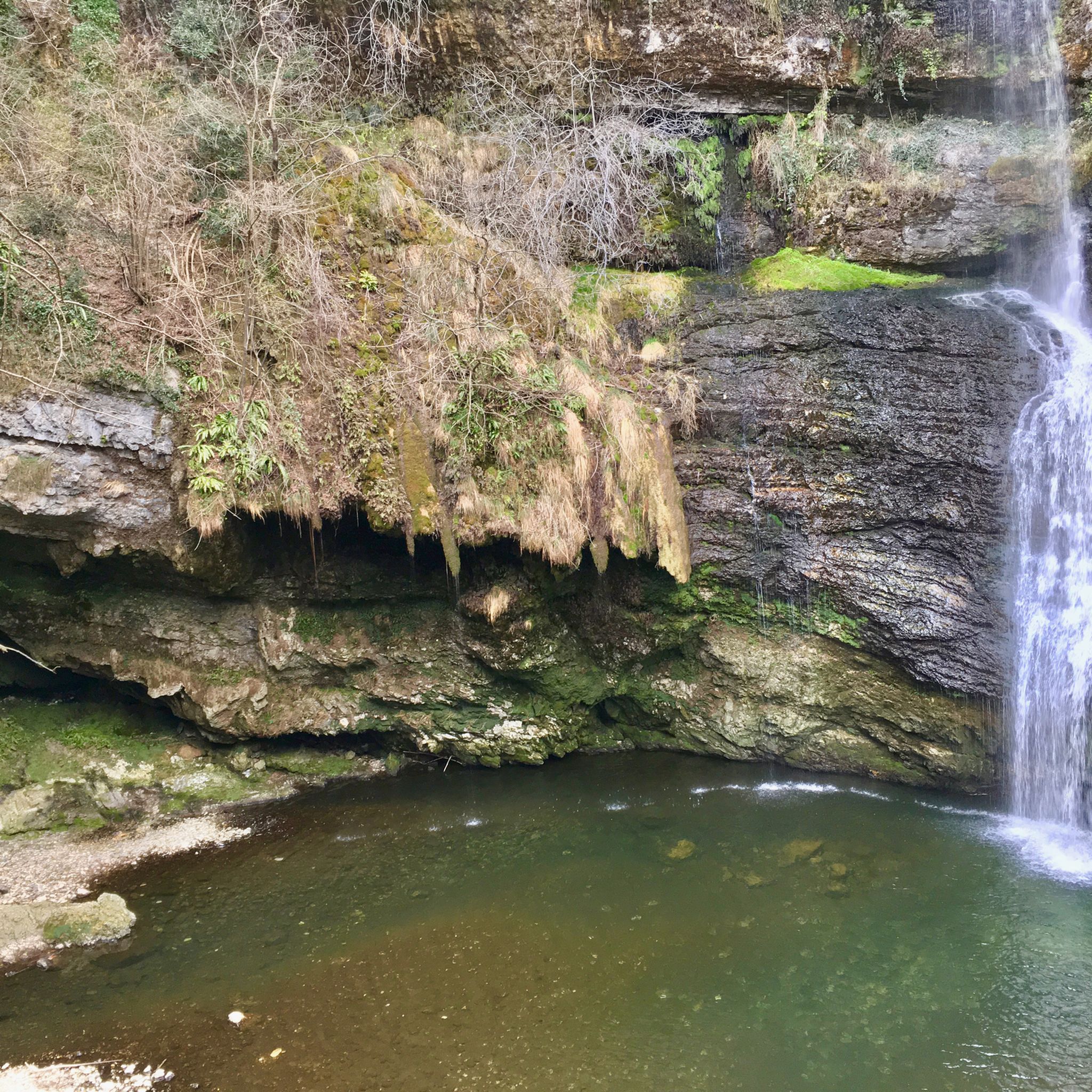
A natural spectacle. The last 50 m are down steps. Easy to reach. Simply impressive.
1
0

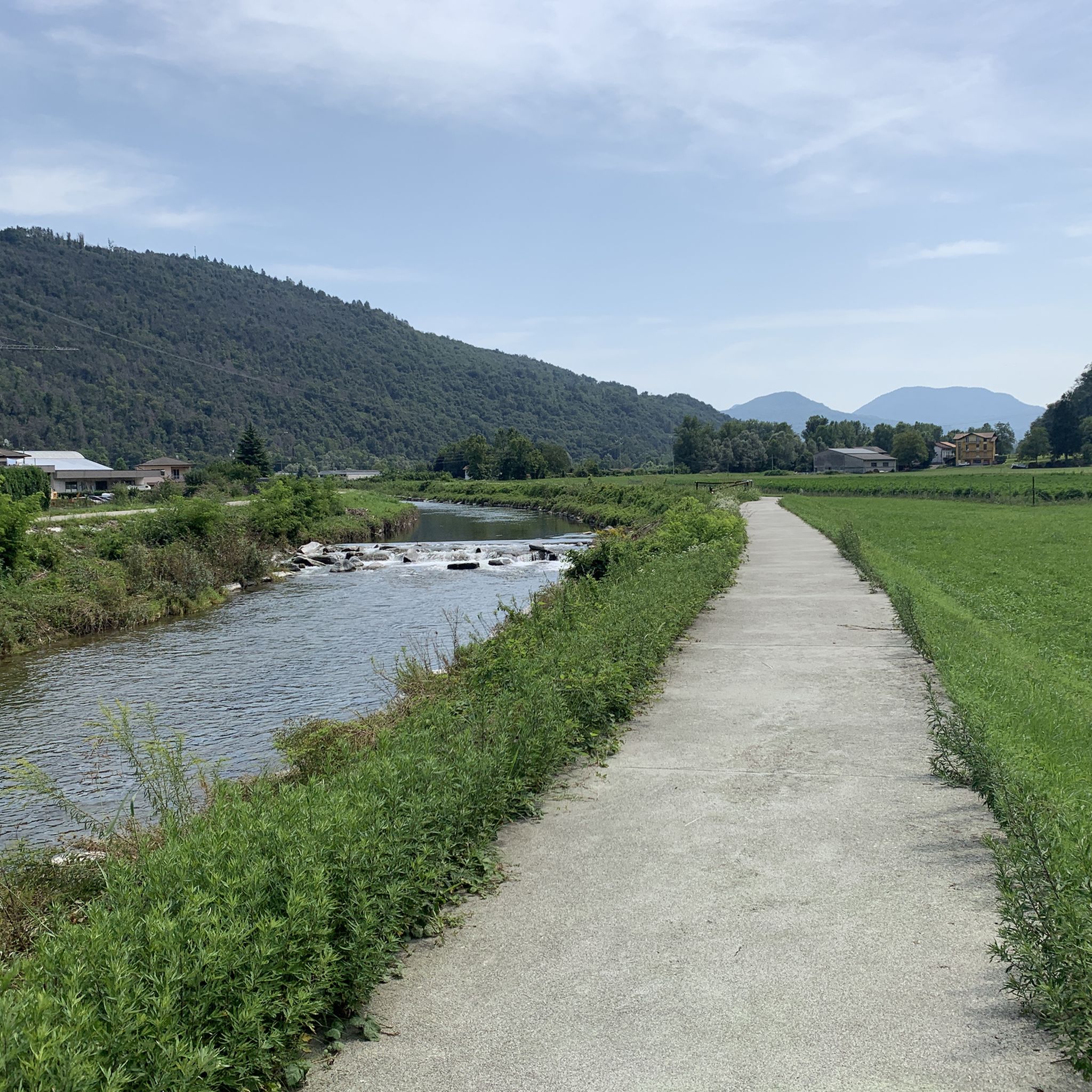
Beautiful riverside path with various seating areas inviting you to take a break and enjoy the view.
7
0

The Luino - Ghirla - Ghana - Varese railway line was opened between 1903 and 1905 and closed between 1953 and 1955. In addition, a Ponte Tresa - Marchirolo - Ghirla railway line was opened in 1915 and closed in 1953. This connected Lake Lugano and Lake Maggore by a railway line. The old railway line from Lavena - Ponte Tresa - Cadegliano - Marchirolo - Curnardo- Ghirla - Ghanna is now used as a cycle path. Only a few remains of the Luino - Ghirla line remain (including 2 viaducts and a section of the railway line used as a hiking and cycling path).
1
0

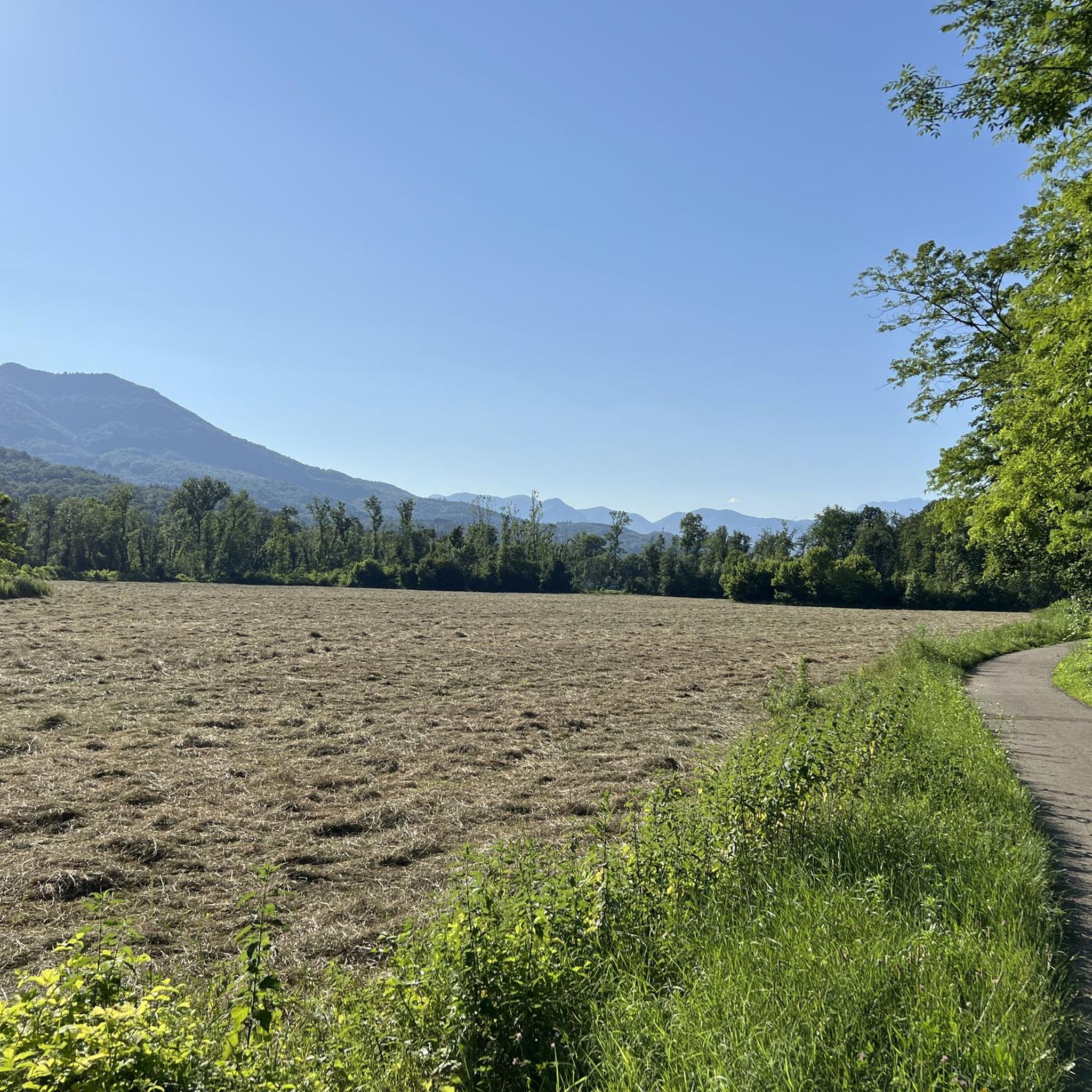
Pre-Alpine lakes immersed in a green setting, at the foot of Mount San Martino and between the splendid valleys of Valcuvia and Valtravaglia
0
0


더 살펴보기
다른 지역의 최고의 하이킹를 살펴보세요.
