알비니아 최고의 워킹 & 하이킹 경로
4.2
(801)
4,281
등산객
78
하이킹
정확한 경로를 찾는 것이 때로는 어렵지만 알비니아에서 하이킹을 하면 다양한 경치를 마음껏 감상할 수 있답니다. 알비니아에서 가장 멋진 하이킹과 워킹 중에서 마음에 드는 활동을 시작해보세요.
마지막 업데이트: 10월 24, 2026
4.5
(124)
531
등산객
12.3km
03:34
330m
330m
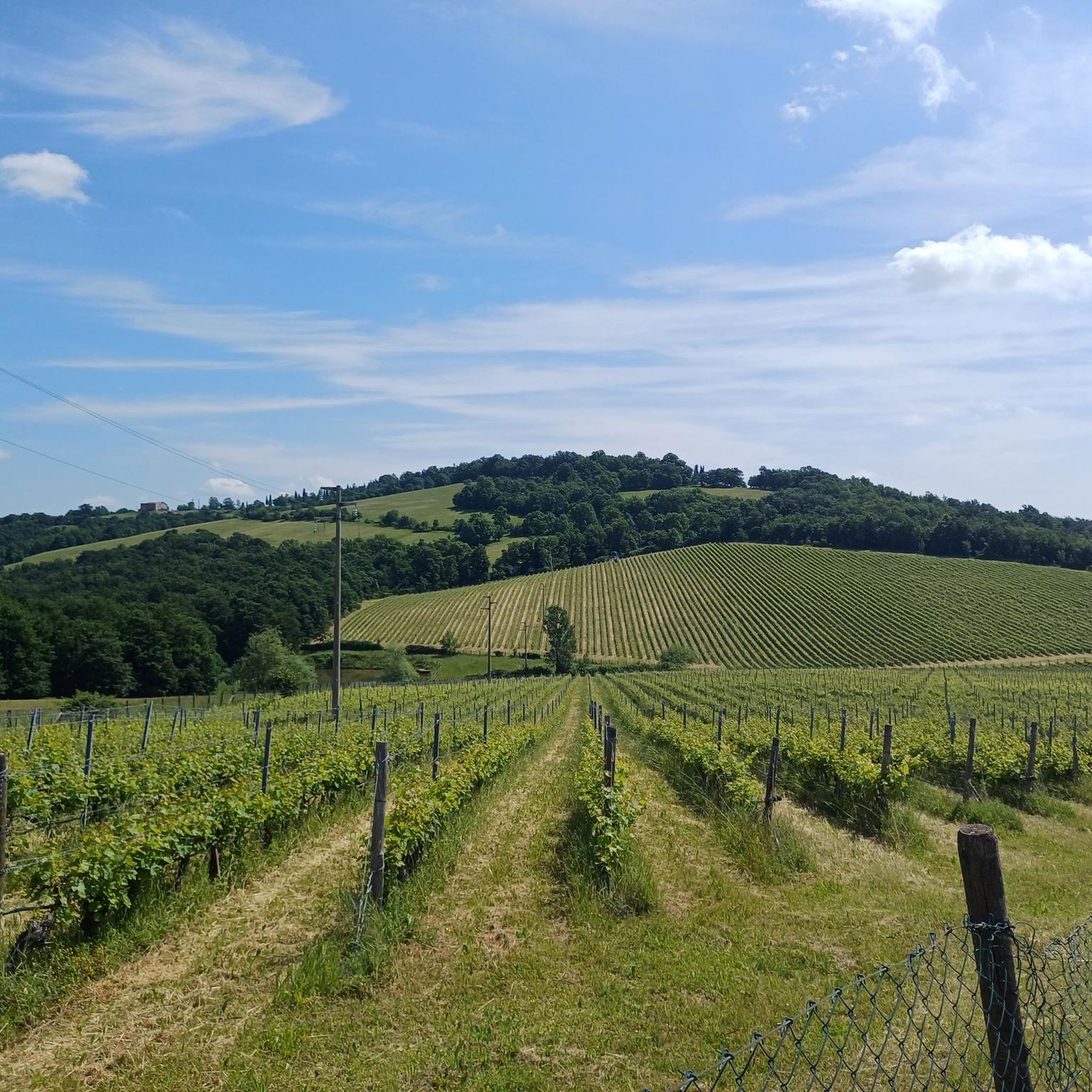
Embark on the Ca' del Vento Loop Trail, a moderate hiking experience that takes you through a varied landscape of open meadows, fields, and shaded forested areas. This route covers 7.6 miles (12.3 km) with an elevation gain of 1086 feet (331 metres), typically completed in about 3 hours and 34 minutes. As you hike, you will encounter the distinctive Messinian Chalks formations, adding a unique geological touch to the scenery. From the Giareto Viewpoint at Ca' del Vento, you can enjoy expansive views across the plains, including clear sights of Reggio Emilia and Scandiano. The trail offers a pleasant mix of terrain and natural beauty.
To begin your adventure on the Ca' del Vento Loop Trail, head to the area near Borzano, Italy, where you will typically find parking available. The route is generally accessible, making it suitable for both walking and cycling, though hikers should be prepared for some sections that include dirt roads and single tracks. This trail is a great option for a half-day outing, allowing you to immerse yourself in nature without requiring extensive planning. Consider starting in the morning to enjoy cooler temperatures and ample daylight for your 3.5-hour journey. Always check local conditions before you go to ensure a smooth experience.
The Ca' del Vento Loop Trail is situated within the significant natural area of SIC - Ca' del Vento, Ca' del Lupo, Gessi di Borzano. This region is known for its rich biodiversity, offering a chance to observe various plant and animal life as you traverse the path. The Messinian Chalks formations you will see are part of a UNESCO Natural Heritage Site, highlighting the geological importance of this area. This makes the trail not just a physical activity, but also an educational journey through a protected and unique environment.
3.4
(17)
61
등산객
11.3km
03:22
340m
340m
The Anello Cà del Vento offers a moderate hiking experience through the scenic Reggio Emilia hills, covering 7.0 miles (11.3 km) with an elevation gain of 1126 feet (343 metres). You will walk on wide dirt roads, natural paths, and some paved sections, enjoying a mix of dense woods and open stretches. As you hike, you can expect panoramic views of the Reggio Emilia skyline, including Santiago Calatrava's three bridges, and pass by the historic Borzano Castle, strategically located on a gypsum hill.
This route typically starts in the village of Borzano, where you can usually find parking. Be aware that after heavy rains, some downhill sections of the trail can become muddy and slippery, so good footing is essential. The estimated duration for completing this loop is around 3 hours and 21 minutes, making it a good option for a half-day outing.
The Anello Cà del Vento is notable for its unique geological features, including Messinian Gypsum formations that create a distinctive karst landscape with sinkholes and dolines. It is part of a Site of Community Importance, recognized for its biodiversity and unique habitats, and the gypsum formations have recently been designated a UNESCO Natural Heritage Site. You might even spot local wildlife like roe deer and fallow deer, especially around sunset.

4.5
(14)
23
등산객
13.9km
03:57
310m
310m
Hike the moderate Ca' del Vento Loop, an 8.7-mile (13.9 km) trail with 1027 feet (313 metres) of elevation gain, taking about 4 hours.
4.3
(16)
84
등산객
8.72km
02:24
150m
150m
보통 하이킹. 좋은 체력 필요. 쉽게 걸을 수 있는 길.
4.6
(63)
358
등산객
9.47km
02:49
290m
290m
보통 하이킹. 좋은 체력 필요. 쉽게 걸을 수 있는 길.
더 다양한 경로와 다른 탐험가들의 추천을 살펴보세요.
이미 komoot 계정이 있나요?
투어 추천은 다른 사람들이 komoot에서 완료한 수천 개의 활동을 바탕으로 구성되어 있습니다.
오늘 무료 계정으로 시작하세요
다음 모험이 기다리고 있어요.
커뮤니티 팁

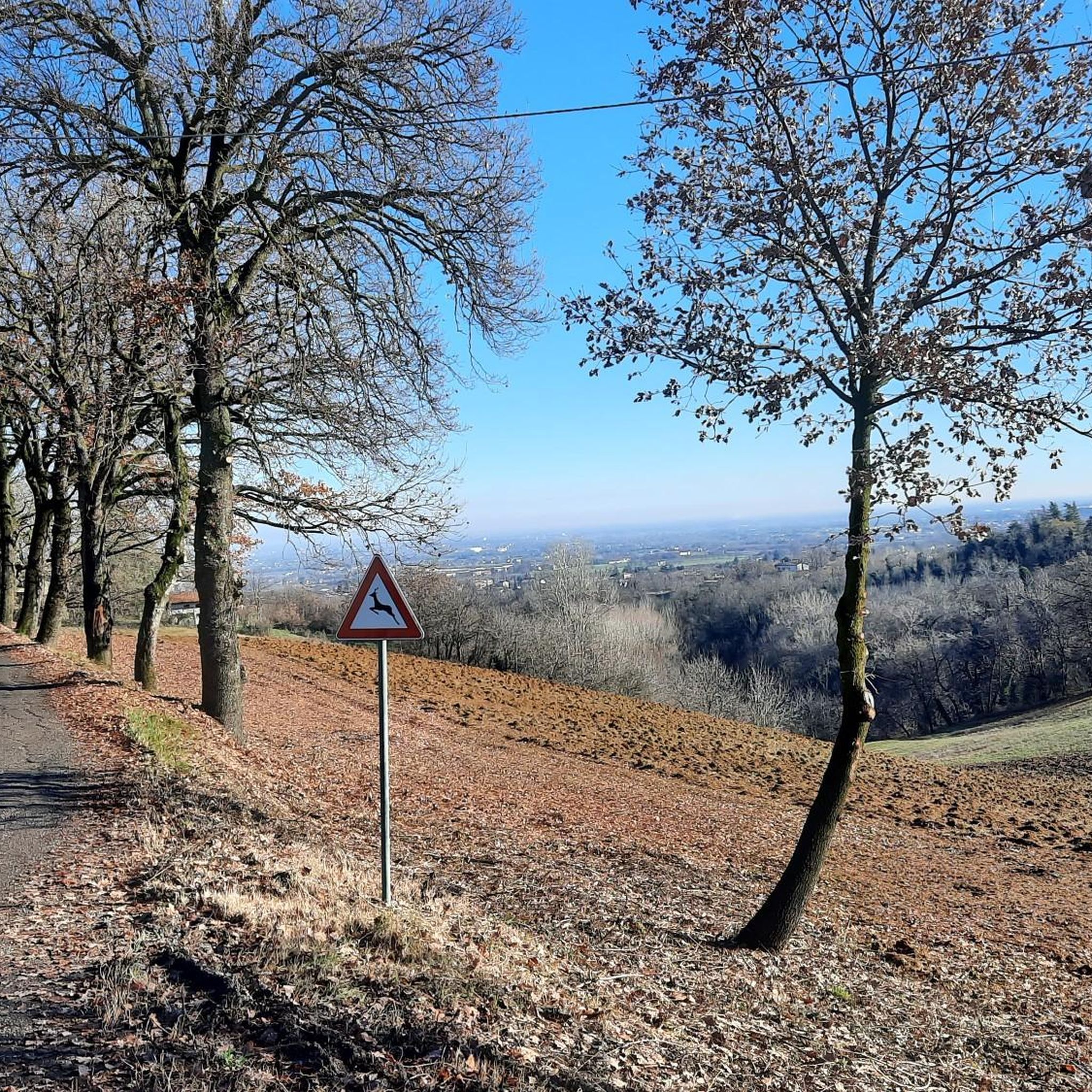
Ca' del Vento에서 북쪽을 바라보는 전망(레조 에밀리아의 첫 번째 언덕, 해발 약 350m)은 포 강 유역 평야와 레조 에밀리아의 스카이라인을 장엄하게 조망할 수 있습니다. 높은 곳에서 감상할 수 있는 것들: 도시의 스카이라인: 레조 에밀리아 시의 윤곽이 선명하게 두드러집니다. 상징적인 건축물: 맑은 날씨에는 고속도로를 따라 건축가 산티아고 칼라트라바가 설계한 세 개의 다리를 볼 수 있습니다.
0
0
Albinea는 약 9,000명의 주민이 거주하는 이탈리아의 우아한 코무네로, 에밀리아-로마냐 지역의 레조 에밀리아 현에 위치해 있습니다. 레조 아펜니노 산맥 기슭의 역사적인 마틸디카 지역 내의 매력적인 구릉 지대에 자리 잡고 있습니다. 이 공동체는 주로 보르차노, 몬테리코, 알비네아-폴라의 세 가지 역사적 중심지로 구성되어 있습니다. 높은 삶의 질로 유명하며, 1인당 평균 소득 기준으로 에밀리아-로마냐에서 가장 부유한 코무네 중 하나로 꾸준히 자리매김하고 있습니다.
0
0
알비네아는 에밀리아로마냐 지역 레조에밀리아현에 위치한 약 9,000명의 주민이 거주하는 우아한 이탈리아 코무네입니다. 역사적인 마틸디카 지역 내의 그림 같은 구릉지대에 자리 잡고 있으며, 레조 아펜니노 산맥 기슭에 있습니다. 이 공동체는 주로 보르차노, 몬테리코, 알비네아-폴라의 세 가지 역사적 중심지로 구성됩니다. 높은 삶의 질로 유명하며, 1인당 평균 소득 기준으로 에밀리아로마냐 지역에서 가장 부유한 코무네 중 하나로 꾸준히 자리매김하고 있습니다.
1
0


you pass by it. It currently appears uninhabited
0
0
nothing that can be seen very far away
0
0

The road that passes through the village is steep if you arrive from via Oliveto but, it is 100 meters at most. So do not be afraid and pass through the village even if the castle is better seen from the road that passes just below the castle.
1
0
알비니아 주변에서 가장 인기 있는 명소


더 살펴보기
다른 지역의 최고의 하이킹를 살펴보세요.
