스토켄회펜 최고의 워킹 & 하이킹 경로
4.6
(4179)
29,788
등산객
989
하이킹
정확한 경로를 찾는 것이 때로는 어렵지만 스토켄회펜에서 하이킹을 하면 다양한 경치를 마음껏 감상할 수 있답니다. 스토켄회펜에서 가장 멋진 하이킹과 워킹 중에서 마음에 드는 활동을 시작해보세요.
마지막 업데이트: 10월 14, 2026
4.7
(14)
61
등산객
9.82km
04:33
700m
700m
어려운 하이킹. 좋은 체력 필요. 튼튼한 신발을 신고 미끄러지지 않게 조심해야 하며, 높은 산을 오른 경험이 있어야 함.
4.7
(26)
106
등산객
14.8km
07:49
1,420m
1,420m
어려운 하이킹. 우수한 체력 필요. 튼튼한 신발을 신고 미끄러지지 않게 조심해야 하며, 높은 산을 오른 경험이 있어야 함.

4.0
(17)
62
등산객
8.21km
02:12
100m
100m
보통 하이킹. 좋은 체력 필요. 실력과 관계없이 누구나 쉽게 갈 수 있는 길.
4.8
(9)
95
등산객
5.03km
01:20
50m
50m
초급용 하이킹. 모든 체력 수준에 적합. 실력과 관계없이 누구나 쉽게 갈 수 있는 길.
4.0
(1)
17
등산객
3.89km
01:20
200m
200m
초급용 하이킹. 모든 체력 수준에 적합. 실력과 관계없이 누구나 쉽게 갈 수 있는 길.
더 다양한 경로와 다른 탐험가들의 추천을 살펴보세요.
이미 komoot 계정이 있나요?
투어 추천은 다른 사람들이 komoot에서 완료한 수천 개의 활동을 바탕으로 구성되어 있습니다.
오늘 무료 계정으로 시작하세요
다음 모험이 기다리고 있어요.
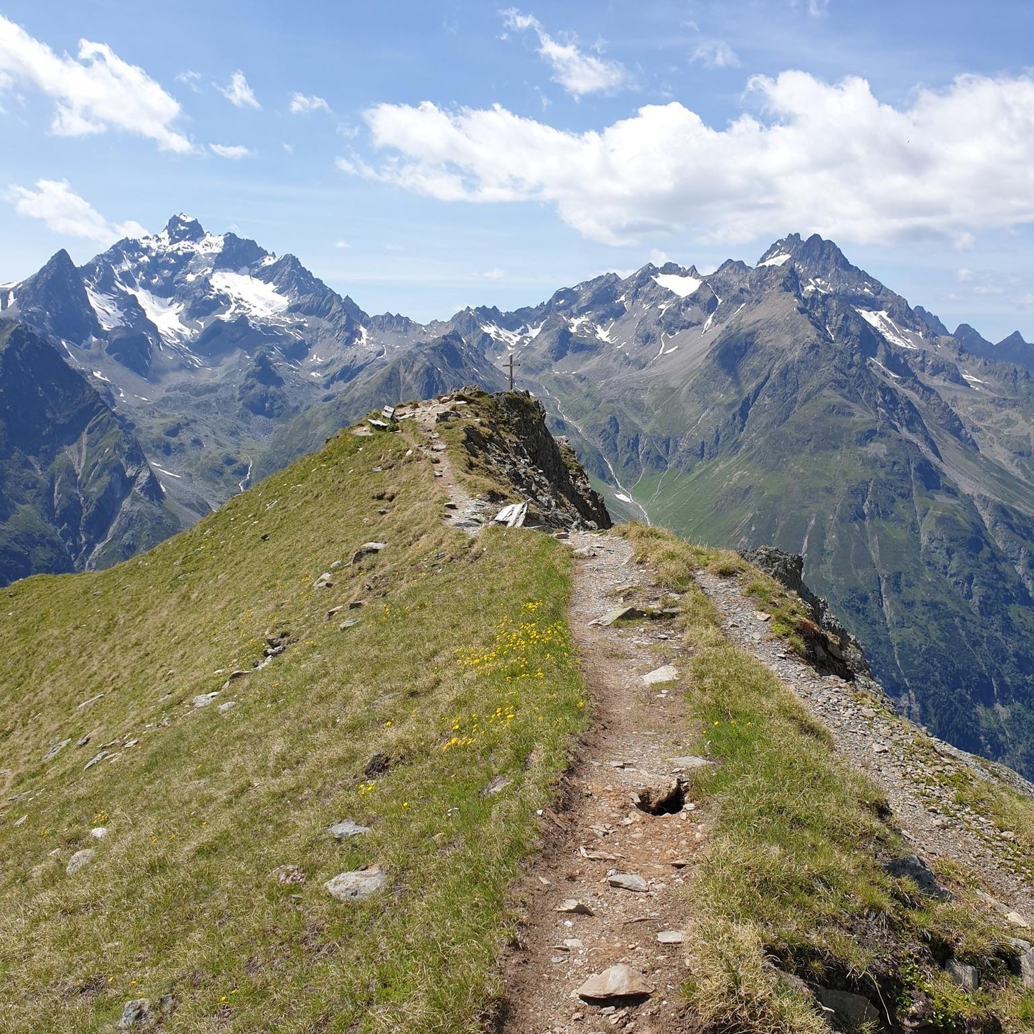

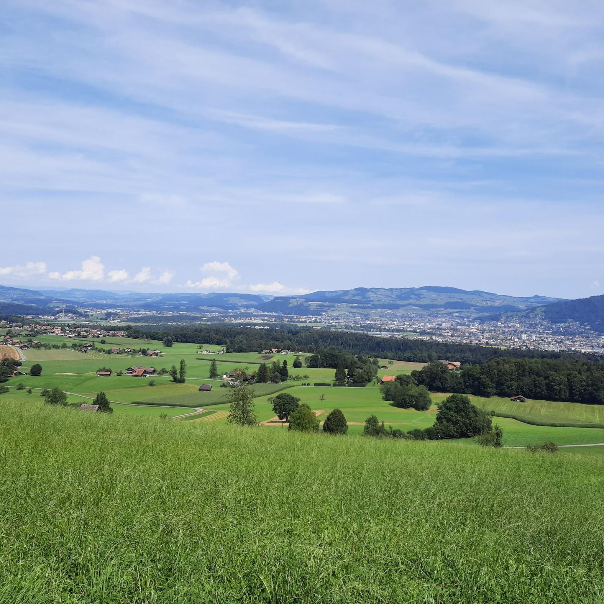
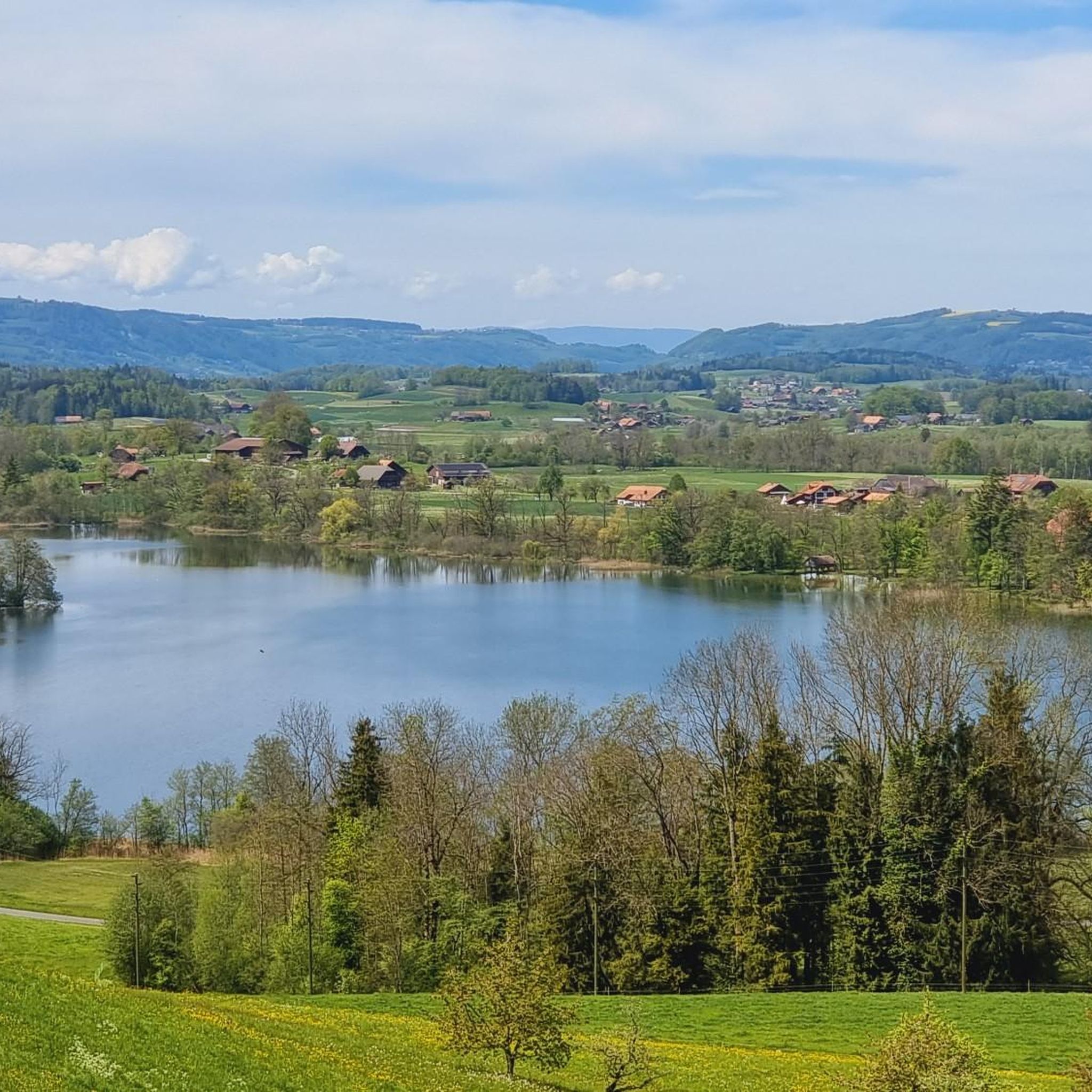
커뮤니티 팁

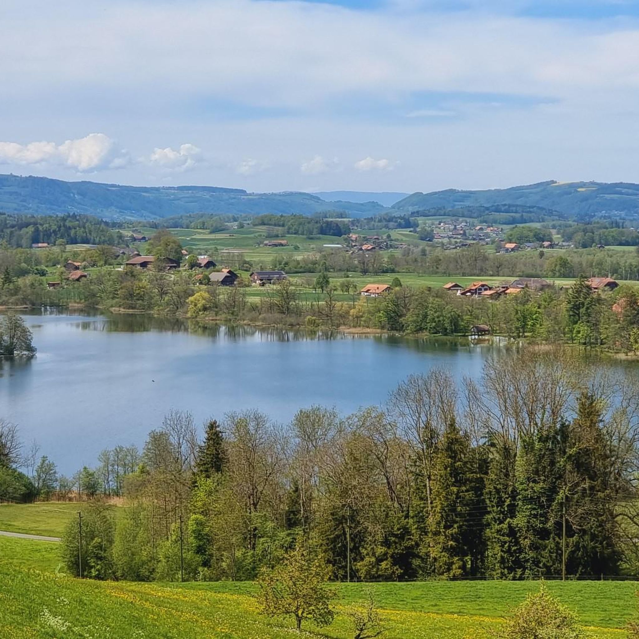
이 도로는 목가적이며, 도로의 한쪽 또는 양쪽 면에 나무가 늘어선 일부는 대로입니다.
0
0


Somehow homey, honest, a bit more rustic than the other panoramic restaurants. I always enjoy coming here. If you're not sure what to order, you can never go wrong with the apricot cake.
0
0

Great ascent aid for snowshoe hikes🥰
1
0

When there is a lot of snow, you can probably only walk halfway around the lake, but it is just as beautiful.
0
0

Karst rock is formed by the weathering and dissolution of limestone, dolomite or gypsum. Over thousands of years, water has formed impressive landscapes with spectacular rock formations. 🌊 Formation: Rainwater, which is slightly acidic, slowly erodes limestone and forms caves, sinkholes, gorges and bizarre rock formations. 📍 Well-known karst areas: Schrattenfluh (CH), Dolomites (IT), Karst region of Slovenia
0
0
The Seehüttli is idyllically located on the banks of the Hinterstockensee, right next to the Chrindi middle station. Here you can experience pure relaxation in the midst of the breathtaking mountains of the Stockhorn. 🌊 Location: Right on the lake - perfect for chilling, swimming or just letting your mind wander. 🍽️ Cozy: Ideal for a break after the hike with small snacks and drinks.
0
0


