카사르자 리구레에서 가장 멋진 20개의 산 정상
카사르자 리구레의 산 정상에 오르면 이 지역의 아름다운 모습을 제대로 구경할 수 있어요. 다만, 20
곳이나 되는 산 정상 중에서 어떤 곳을 가야 할 지 고민된다는 게 문제죠. 카사르자 리구레에서 가장 멋진 산 정상을 살펴본 후에 마음에 드는 산 정상을 다음 모험 계획에 추가해보세요.
마지막 업데이트: 10월 11, 2026
몬테 코스텔로 정상에서의 파노라마 전망
하이라이트 • 정상
번역자 Google •
팁에 의해

몬테 자타 순환 코스
하이라이트 (구간) • 트레일
번역자 Google •
팁에 의해

이런 장소를 발견하려면 지금 가입하세요
최고의 싱글 트랙, 봉우리 및 다양한 흥미로운 야외 장소에 대한 추천을 받아보세요.
몬테 로케테 (701m)
하이라이트 • 정상
번역자 Google •
팁에 의해

몬테 레 로케테의 파노라마 능선
하이라이트 (구간) • 전망대
번역자 Google •
팁에 의해

무료로 가입하여 카사르자 리구레 주변의 더 많은 봉우리를 발견하세요.
이미 komoot 계정이 있나요?
오늘 무료 계정으로 시작하세요
다음 모험이 기다리고 있어요.

커뮤니티 팁

Above the municipality of Cogorno, in the metropolitan city of Genoa, walking on the ridge of Mount Le Rocchette is certainly one of the best experiences that those who walk in these areas can have. In ancient times, slate, a metamorphic rock of sedimentary origin, was extracted in these areas.
1
1

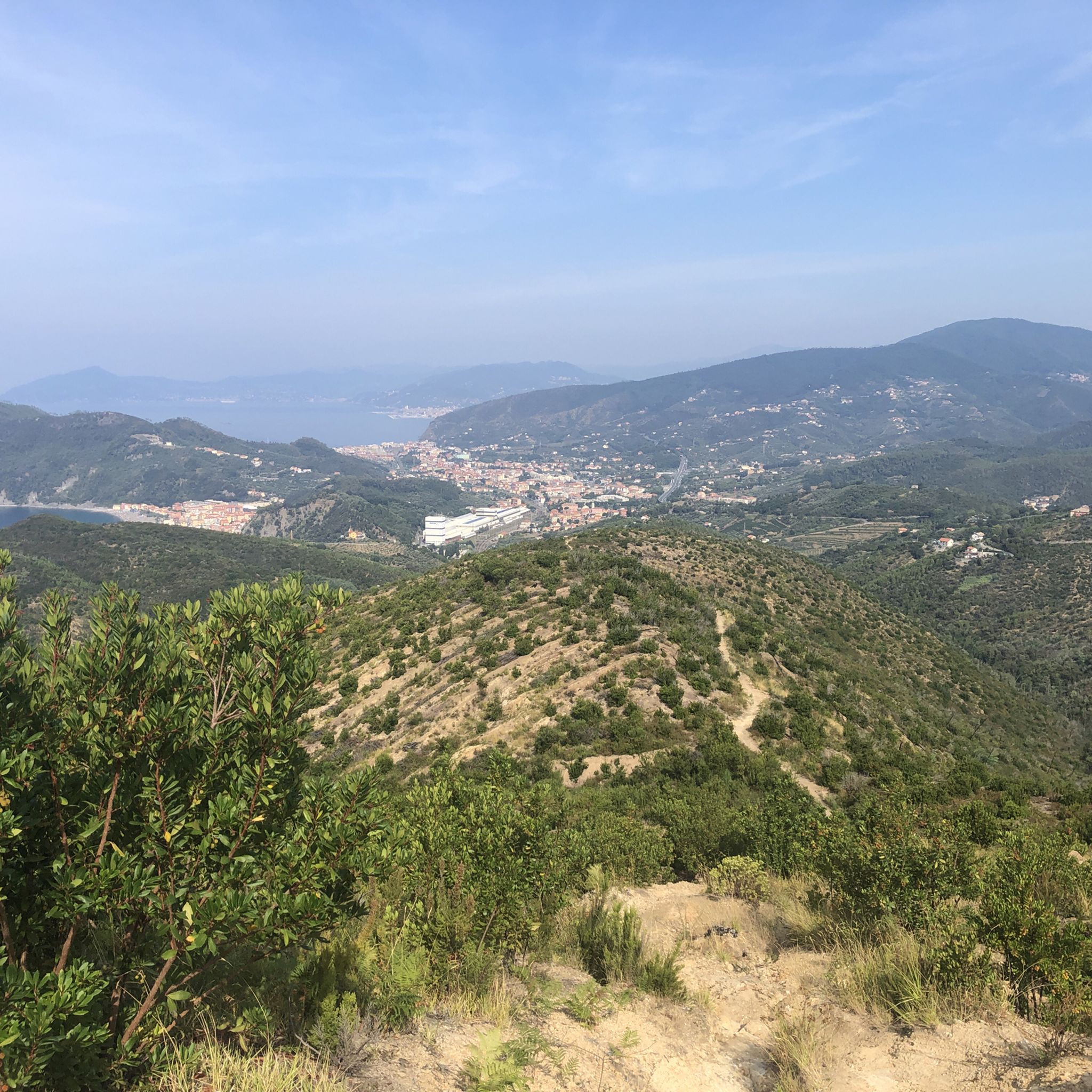
Climb to Treggin from Bargone, very steep, a few points where it flattens out slightly but in general there is a difference in altitude in a few km so it's a lot. Stretches of forest and otherwise, especially towards the top, fairly clean path, uphill you can follow it well (red X). Downhill, especially at the top, you can get a little lost, look for fairly frequent signs. Almost always rocky terrain, some beaten pieces in the woods. Area exposed to the sun but remains wet and humid in autumn and with previous days of rain.
1
0
Follow the red "A10" signs on the beech trees, being careful you can see them well even with leaves and snow. Ring that starts from Passo del Bocco, goes up the path that leads to the eastern peak, then follows the path on the ridge up to the central and western peak. You then descend along the path that passes through Poggio Buenos Aires (not continuing towards Colonia Devoto), passes it and emerges again on the dirt road that comes from Passo Bocco. Doable in both directions. The western uphill path is more tiring, the eastern one less so, both doable. Slight ups and downs along the ridge.
1
0
Acronym track S2 feasible even by less experienced, maybe sometimes you go down. Rocks, hollows and some steep points, but also well passable areas. From Cima Capenardo instead of turning right, take the path on the left, after a while there is a crossroads on the right, from there it widens and goes down to Selva. Quite difficult and slippery uphill, it goes for the less experienced, better downhill.
0
0
Highest point in the Selva with panoramic views. Excellent area (cold and wind permitting) for a break or picnic.
0
0
Path that goes from Selva to Capenardo. For MTB: avoid uphill, the path starts off wide but gradually gets worse, you add rocks and other obstacles, it gets very narrow. Last piece forces you to carry the bike by hand (even with E-Bike). Downhill feasible paying attention to complicated points, carrying by hand if necessary.
0
0

excellent stopping point
0
0
Abandoned path completely blocked by fallen branches and trees
0
0
카사르자 리구레 주변에서 가장 인기 있는 명소


더 살펴보기
이 가이드를 통해 카사르자 리구레 주변의 더 놀라운 정상들을 확인해보세요:
