20의 아르비에가지 명소 & 주요 장소
아르비에에는 둘러볼 만한 장소가 많답니다. 하이킹 또는 사이클링을 좋아한다면 아르비에에 숨겨진 20
가지 보석을 만날 수 있을 거예요. 이 지역의 주요 명소를 살펴보면서 다음 모험을 계획해보세요.
마지막 업데이트: 9월 12, 2026

이런 장소를 발견하려면 지금 가입하세요
최고의 싱글 트랙, 봉우리 및 다양한 흥미로운 야외 장소에 대한 추천을 받아보세요.

리푸지오 알베르토 데페예스
하이라이트 • 산장
번역자 Google •
팁에 의해


오늘 무료 계정으로 시작하세요
다음 모험이 기다리고 있어요.
아르비에 주변 인기 장소


아르비에 주변의 다른 모험


커뮤니티 팁

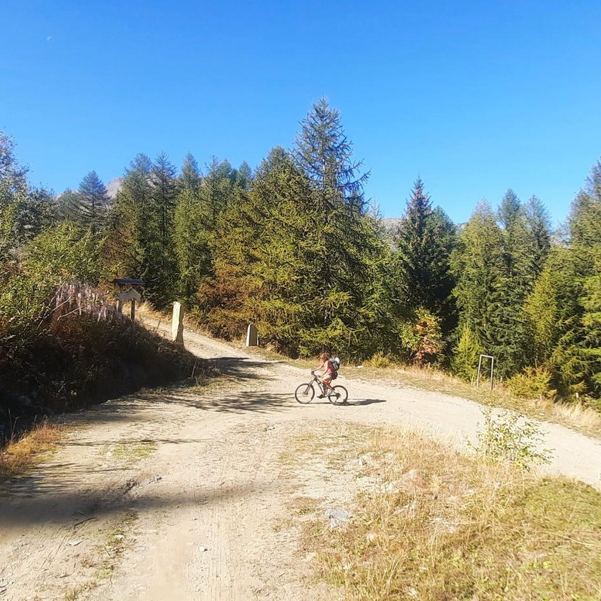
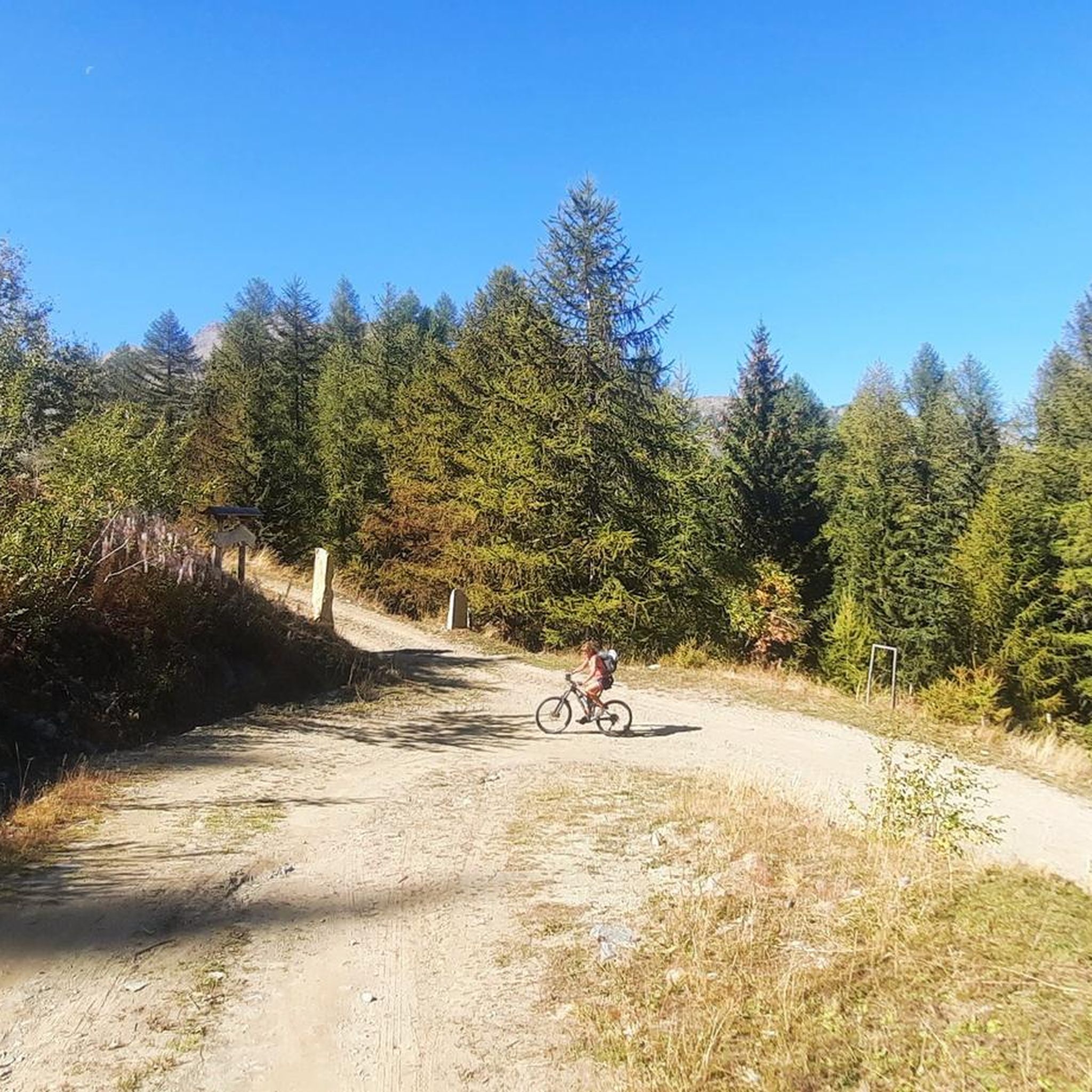
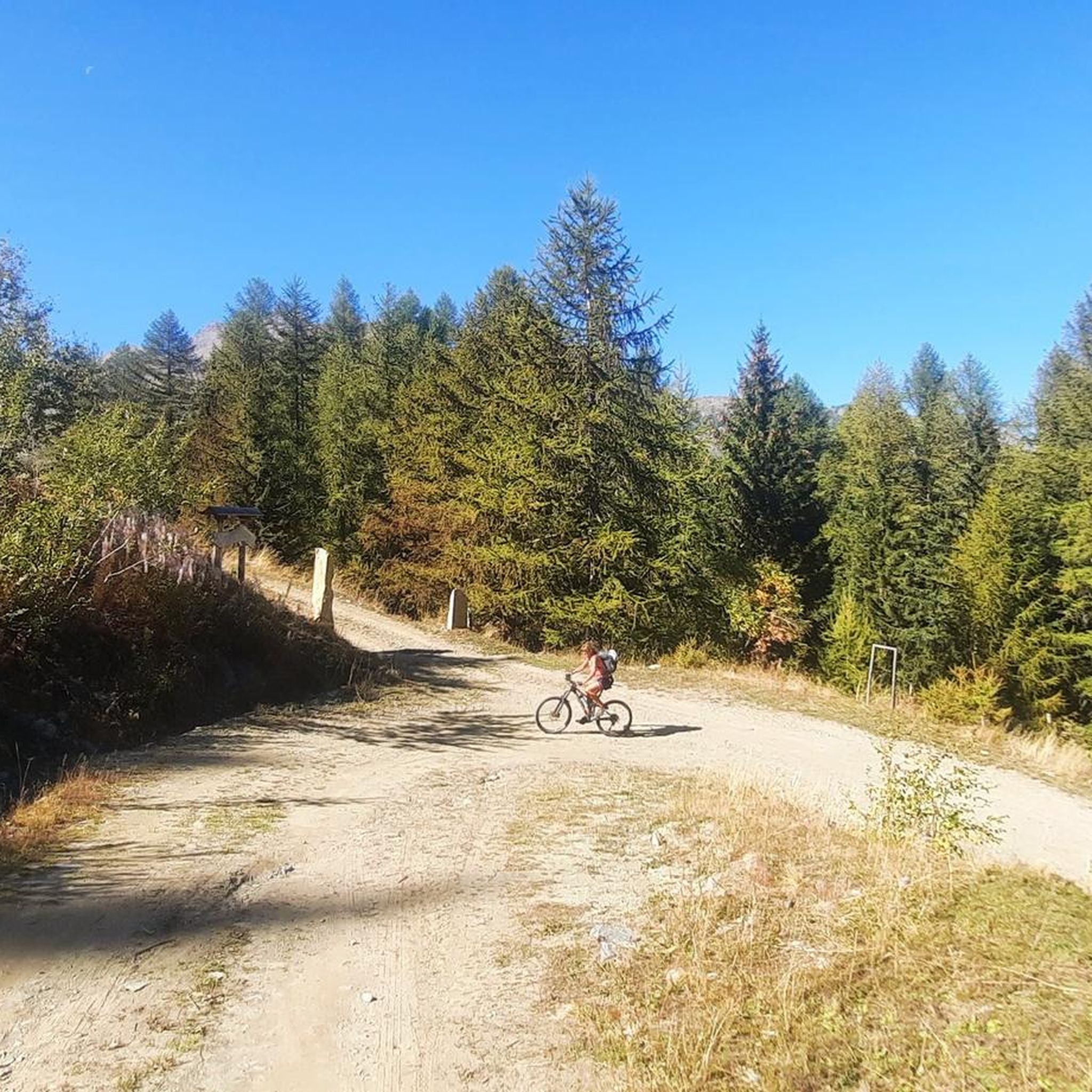
Vtan은 Fallere 산과 그 이름의 산장을 가는 출발점이지만, 그뿐만이 아닙니다. 이 작은 마을에서 출발하는 아름다운 흰색 도로들은 MTB에 매우 적합하며, 웅장한 파노라마 덕분에 항상 만족스러운 다른 작은 하이킹 코스들도 있습니다. 소나무 숲에 있는 "명상길"은 요가, 호흡, 자기 통제를 결합한 "명상 걷기"를 초대하는 매우 인상적인 코스입니다... 이에 대한 자세한 정보는 근처 호텔에서 얻을 수 있으며, 이 호텔에서는 가능한 하이킹 코스 지도를 제공하기도 합니다.
0
0

The Mont Fallère Refuge, at 2,385 m, is located in the valley between Mont Fallère and Monte Rosso di Vertosan. It offers 50 beds in rooms with bathrooms, and has a restaurant with typical cuisine. Open in summer, it can be reached on foot or by mountain bike.
1
1


Very simple and relaxing route through the woods to this splendid lake. If you want to visit it in peace, avoid midday hours, especially in summer
1
0

Lake Arpy is located at 2,066 meters above sea level. It is located in a splendid valley and enclosed between Mount Charvel and Becca Pouegnenta to the left of Mount Colmet. The lake has shades of color ranging from brown to light blue to green. In its waters there are trout and a rare species of amphibian, the Alpine newt.
5
0
The first waterfall is the easiest to reach and is located about 20 minutes from the start. Although it is the easiest to reach, you need to be careful because, being wet, you could slip, so remember suitable shoes and be careful.
0
0
On this link you will find all the information on the Deffeyes Refuge http://www.rifugiodeffeyes.it/
0
0
The three Rutor waterfalls are part of the country's history and are shrouded in myths and legends. Daughters of the lakes fed by the Rutor glacier, the wonderful waterfalls that can be visited in summer are three impetuous waterfalls that throw themselves into gorges and precipices, carving out the rock with all the power of the melting water. Starting from the hamlet of La Joux at 1,603 meters above sea level and located just three kilometers from the town of La Thuile, you can reach the first of the three with a beautiful path up to the third waterfall which is located at 1,996 metres. The first observation point is found shortly after passing the farmhouses of La Joux, along a mule track that passes through coniferous woods. The first waterfall is surprising: the emotion of the rainbow and the force of the water arouse incredible sensations.
2
0
아르비에 주변에서 가장 인기 있는 명소


더 살펴보기
찾고 있는 하이라이트를 아직 못 찾으셨나요? 다른 지역의 주요 명소 가이드를 확인해보세요:
