나르니 최고의 라이딩 경로
4.6
(348)
7,557
자전거 타는 사람
37
라이딩
나르니의 로드 사이클링 경로를 찾으시나요? 그렇다면 나르니 로드 라이딩 컬렉션 중에서 가장 멋진 라이딩 장소를 아래에서 살펴보세요.
마지막 업데이트: 8월 30, 2026
5.0
(3)
26
자전거 타는 사람
63.9km
03:30
1,240m
1,240m
어려운 도로 자전거 타기. 우수한 체력 필요. 지면 대부분이 잘 포장되어 있고 라이딩하기 쉬움.
5.0
(2)
100
자전거 타는 사람
47.3km
02:01
190m
190m
보통 도로 자전거 타기. 좋은 체력 필요. 지면 대부분이 잘 포장되어 있고 라이딩하기 쉬움.

무료 회원 가입
5.0
(1)
109
자전거 타는 사람
69.0km
03:12
860m
860m
보통 도로 자전거 타기. 좋은 체력 필요. 지면 대부분이 잘 포장되어 있고 라이딩하기 쉬움.
5.0
(2)
51
자전거 타는 사람
82.0km
03:39
790m
790m
보통 도로 자전거 타기. 좋은 체력 필요. 지면 대부분이 잘 포장되어 있고 라이딩하기 쉬움.
4.3
(3)
51
자전거 타는 사람
38.1km
01:33
100m
100m
보통 도로 자전거 타기. 모든 체력 수준에 적합. 투어 중 라이딩하기 어려운 비포장 구간이 있을 수 있음.
더 다양한 경로와 다른 탐험가들의 추천을 살펴보세요.
무료 회원 가입
이미 komoot 계정이 있나요?
투어 추천은 다른 사람들이 komoot에서 완료한 수천 개의 활동을 바탕으로 구성되어 있습니다.
오늘 무료 계정으로 시작하세요
다음 모험이 기다리고 있어요.
로그인 또는 가입하기
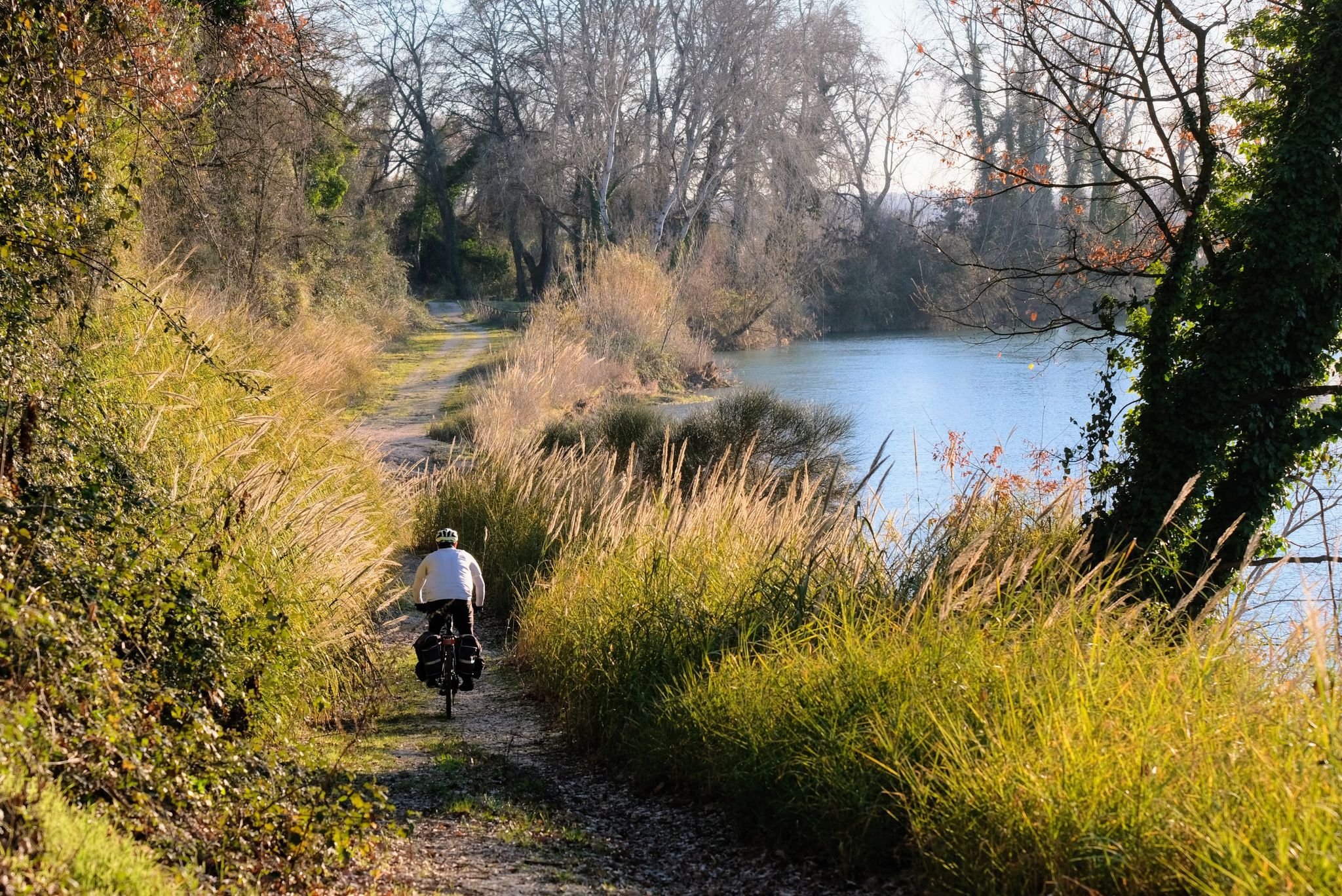
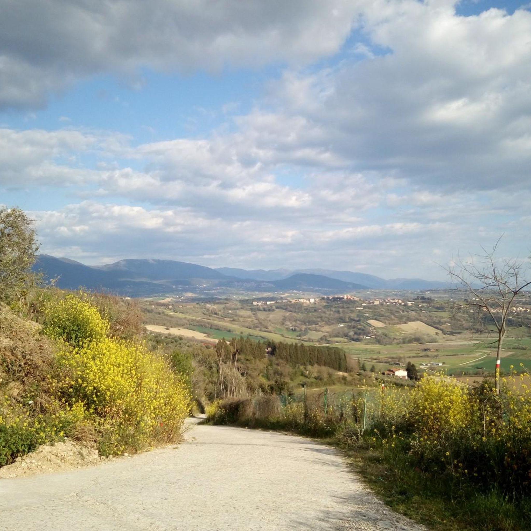
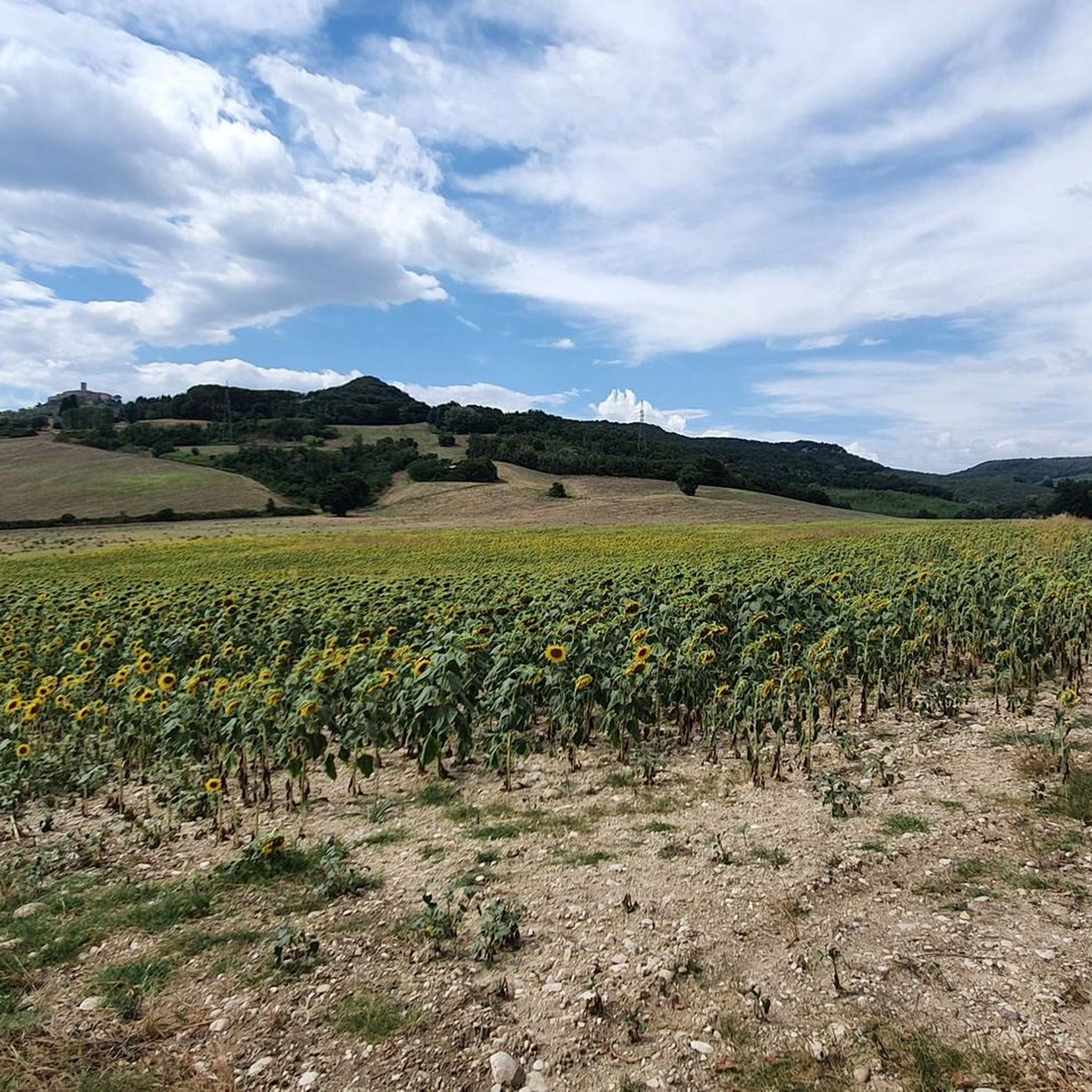

나르니 주변의 다른 모험

커뮤니티 팁

Narni underground, with its legends, inspired Lewis Carroll for the creation of the Chronicles of Narnia
1
0
Starting point for excursions along the Nera gorge
1
0

Provincial road 22, called Carsulana, connects Terni to several locations, including the archaeological site of Carsulae. It is managed by the Province of Terni and passes through the municipal territory of Terni, San Venanzo, Montegabbione and Calvi dell'Umbria. The road surface is well maintained, the landscapes are beautiful, and you pass through the archaeological site of Carsulae. The vast archaeological area, a true open-air museum, extends for over 20 hectares and the monuments still visible are notable: the theater, the amphitheater, the forum, the basilica, the temples, some tombs, the ancient route of the Via Flaminia with the original stone paving and the arch of San Damiano.
1
0
Casteltodino is a small hamlet between Sangemini and Todi. The fountain is beautiful, from which you can take fresh water even during the hot season
1
0
Coming down from Cesi, when the road flattens out you can see the beauty of the mountain and the hamlet of Cesi. Beautiful
1
0
Small town near Terni, lies at an altitude of 437 m. on the slopes of Mount Eolo. The town is very characteristic and from there you can see the entire Terni basin. Getting there is challenging, but it is worth it
1
0

Roman bridge (27 BC). It was used to cross the gorge created by the Nera river.
0
0
Hamlet of Terni located on a small hill at 227 meters above sea level
0
0
나르니 주변에서 가장 인기 있는 명소


더 살펴보기
다른 지역의 최고의 로드 사이클링 경로를 살펴보세요.
