몬테미냐오 최고의 사이클링 경로
4.6
(595)
2,498
자전거 타는 사람
113
라이딩
몬테미냐오 최고의 사이클링 경로를 따라 지역을 둘러볼까요? 몬테미냐오에서 가장 멋진 자전거 라이딩 장소 중에서 가장 마음에 드는 라이딩을 선택해보세요.
마지막 업데이트: 8월 23, 2026
4.9
(7)
105
자전거 타는 사람
38.0km
03:28
1,010m
1,010m
어려운 자전거 타기. 우수한 체력 필요. 대부분 포장된 지면. 실력과 관계없이 누구나 갈 수 있음.
4.0
(2)
50
자전거 타는 사람
41.0km
04:18
1,270m
1,280m
어려운 자전거 타기. 우수한 체력 필요. 투어 중 자전거를 끌고 가야 하는 구간이 있을 수 있음.

무료 회원 가입
4.8
(5)
37
자전거 타는 사람
56.9km
04:13
1,240m
1,240m
어려운 자전거 타기. 우수한 체력 필요. 대부분 포장된 지면. 실력과 관계없이 누구나 갈 수 있음.
5.0
(1)
19
자전거 타는 사람
25.0km
02:10
580m
580m
어려운 자전거 타기. 우수한 체력 필요. 대부분 포장된 지면. 실력과 관계없이 누구나 갈 수 있음.
5.0
(1)
16
자전거 타는 사람
18.9km
01:21
390m
390m
보통 자전거 타기. 좋은 체력 필요. 대부분 포장된 지면. 실력과 관계없이 누구나 갈 수 있음.
더 다양한 경로와 다른 탐험가들의 추천을 살펴보세요.
무료 회원 가입
이미 komoot 계정이 있나요?
투어 추천은 다른 사람들이 komoot에서 완료한 수천 개의 활동을 바탕으로 구성되어 있습니다.
오늘 무료 계정으로 시작하세요
다음 모험이 기다리고 있어요.
로그인 또는 가입하기

커뮤니티 팁

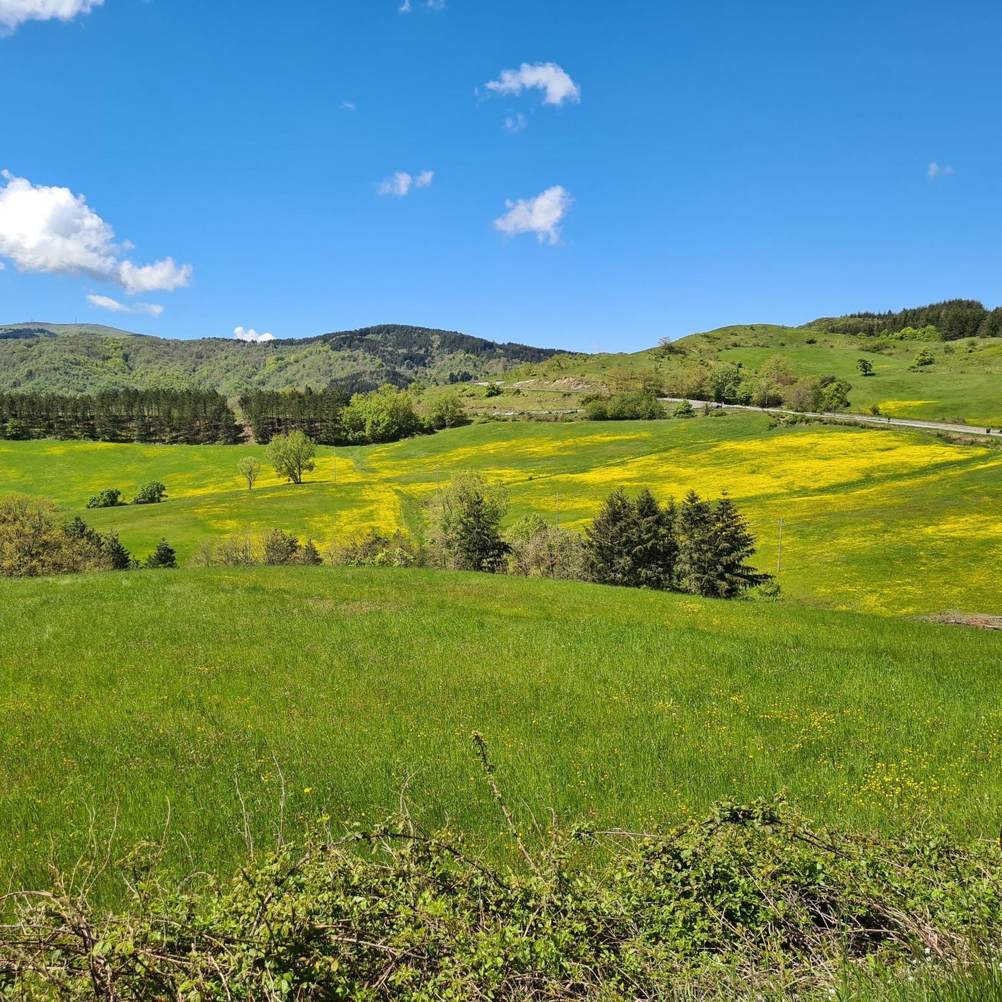
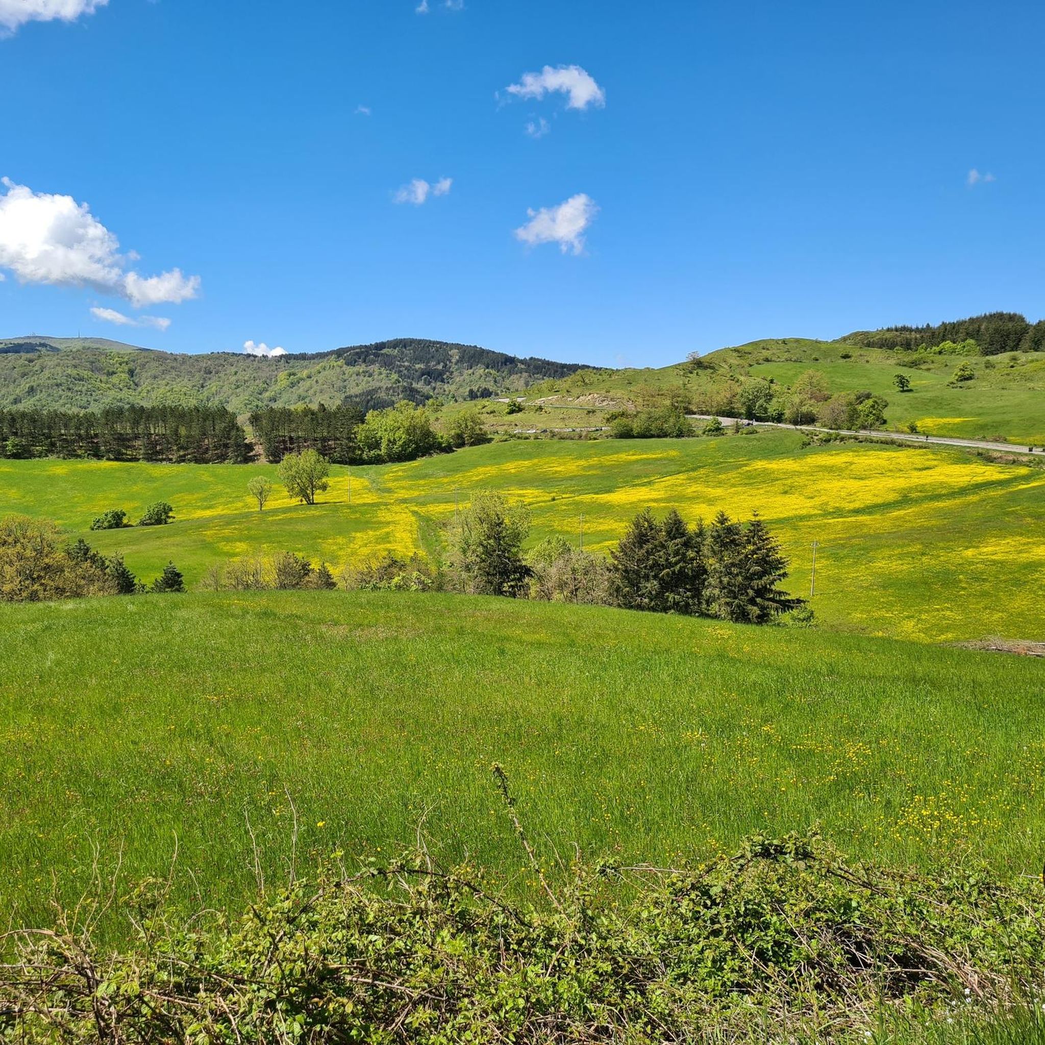
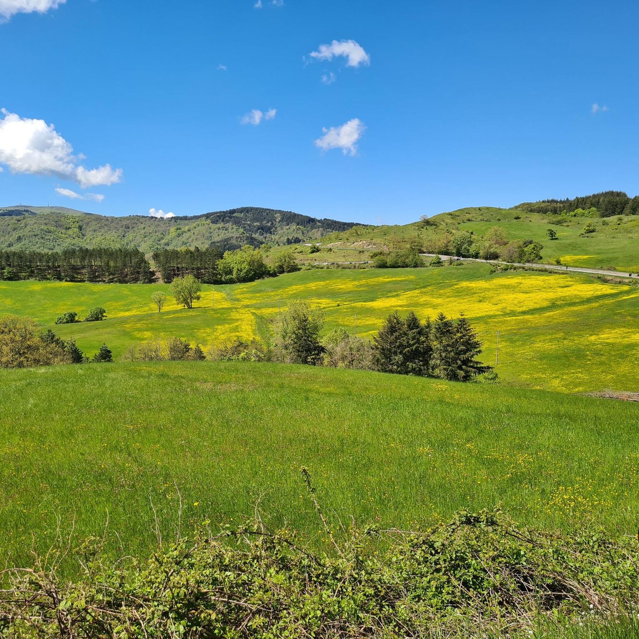
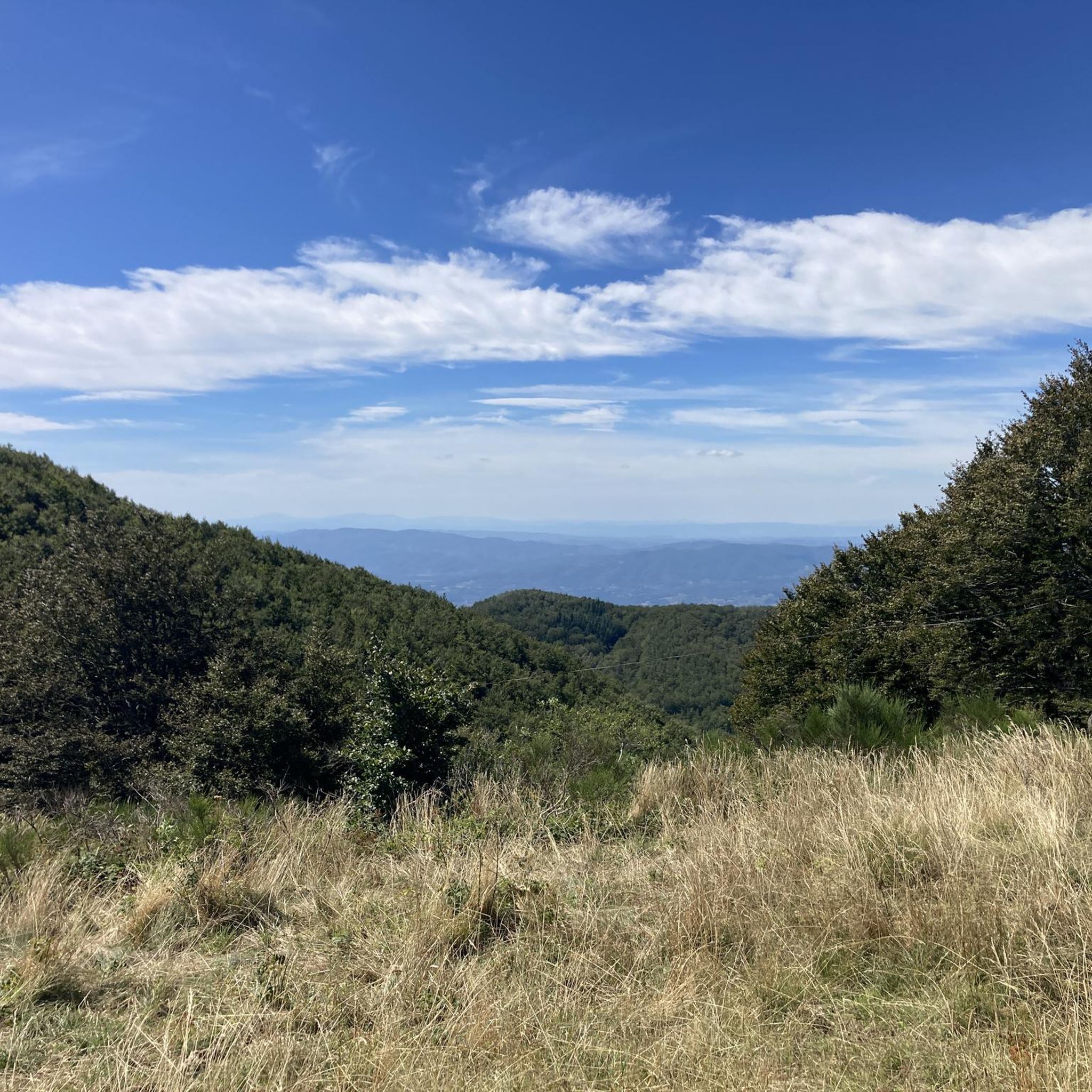
Mount Secchieta lies between the municipalities of Reggello and Montemignaio. The peak, approximately 1,500 meters above sea level, is part of the Pratomagno ridge and separates the Casentino valley from the Upper Valdarno valley. There is a refuge there, which can also be reached by a paved road.
0
0
Up here, fluttering like wild grass, I feel like I'm at the end of the world. Everything around me is… unfamiliar, yet reassuring. I can even imagine things that aren't there, and all this thanks to the effort of getting up here, because effort also makes us clear-headed.
0
0
Just below the Prato Magno cross, if you wish, you can descend by portaging a bit to the paved road normally used for road bikes, which allows you to pass through a tunnel. For this tour, we decided to head in the Celtic direction toward Vallombrosa, following a very wide, hard-surfaced forest road.
0
0

Rifugio Secchieta, with its cyclist museum featuring many interesting jerseys. The sandwiches are excellent, and the view is beautiful.
0
0
It covers an area of 1,273 hectares in the Metropolitan City of Florence on the western slope of the Pratomagno massif, specifically in the Municipality of Reggello. It extends from the town of Tosi, 470 meters above sea level, to Mount Secchieta, 1,440 meters above sea level.
0
0


Easy route along the ridge. Be careful though, with some steep and bumpy descents and climbs. Recommended if done after dinner, a light jacket or k-way.
0
0
몬테미냐오 주변에서 가장 인기 있는 명소


더 살펴보기
다른 지역의 최고의 자전거 경로를 살펴보세요.
