20의 비소가지 명소 & 주요 장소
비소에는 둘러볼 만한 장소가 많답니다. 하이킹 또는 사이클링을 좋아한다면 비소에 숨겨진 20
가지 보석을 만날 수 있을 거예요. 이 지역의 주요 명소를 살펴보면서 다음 모험을 계획해보세요.
마지막 업데이트: 10월 9, 2026


이런 장소를 발견하려면 지금 가입하세요
최고의 싱글 트랙, 봉우리 및 다양한 흥미로운 야외 장소에 대한 추천을 받아보세요.

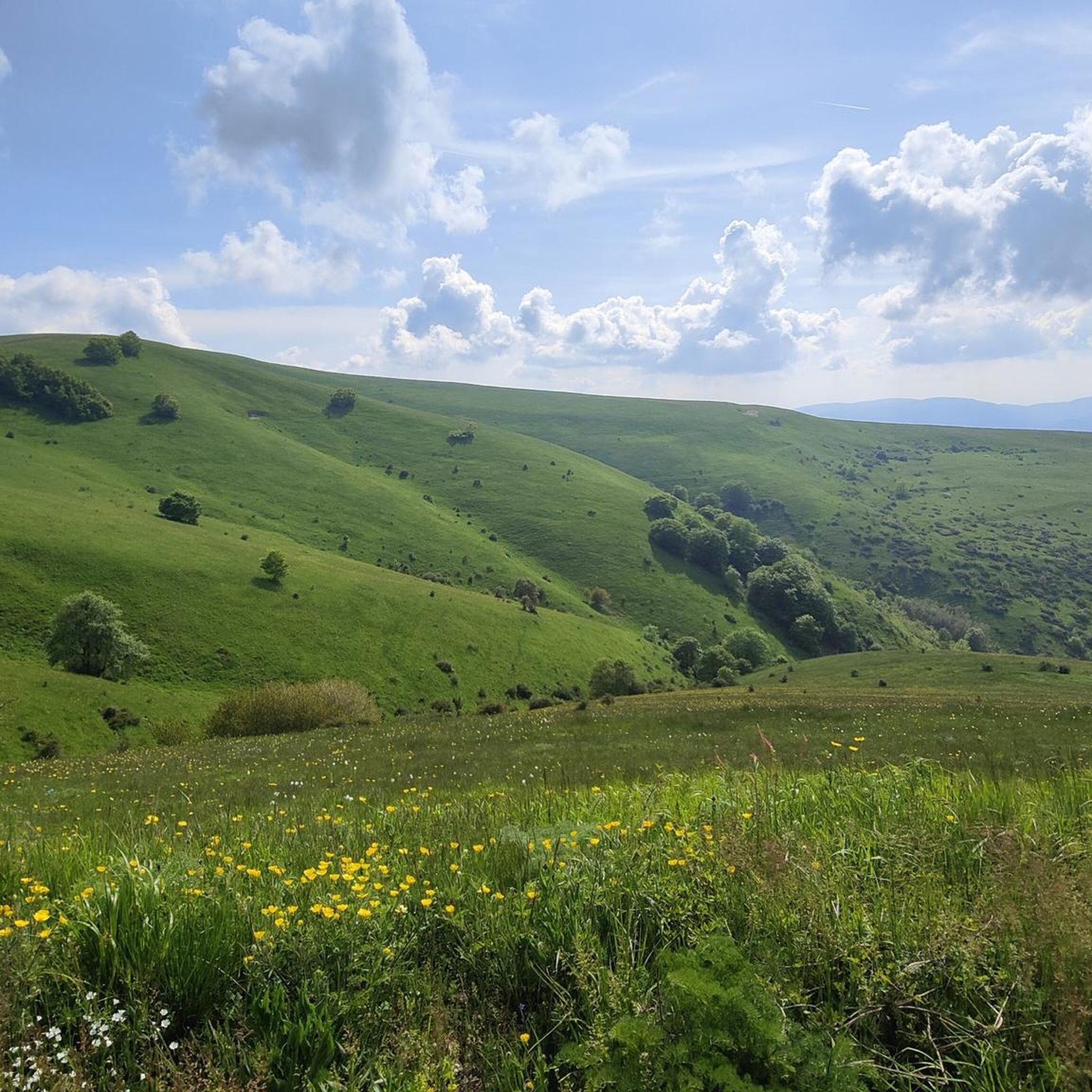
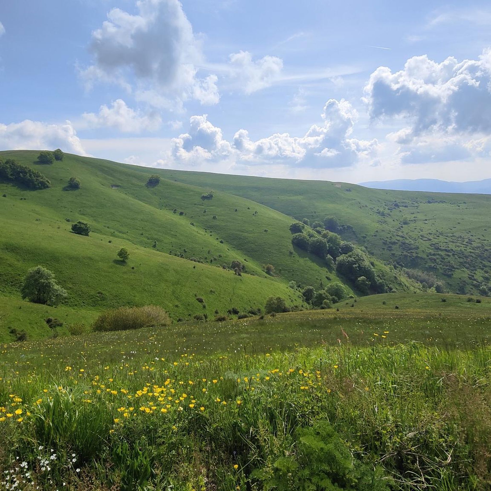
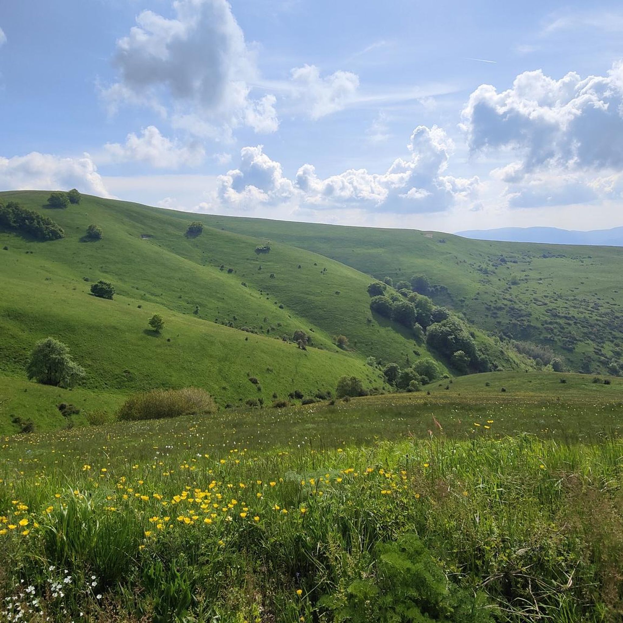
카스텔루초 디 노르차의 꽃밭
하이라이트 • 자연 기념물
번역자 Google •
팁에 의해

오늘 무료 계정으로 시작하세요
다음 모험이 기다리고 있어요.


커뮤니티 팁

Check the weather and flowering period
0
0


Short and relatively simple route, but still requires shoes with a good grip, because the last stretch to get to the Lame has a steep slope and is on scree, so it is easy to slip. I recommend doing it in autumn or spring because it is very exposed to the sun, but not after the rain because it could be slippery. Lame Rosse are beautiful! Negative note: very busy path, so much so that you can't get into a rhythm. You have to continually let people and groups traveling in the opposite direction pass. If you love hiking in the peace of nature, this place is not for you. For the rest, everything is very beautiful!
0
0

Beautiful place, the climb is tiring as is the descent, excellent shoes and poles are necessary!
0
0

Lame Rosse is simply gorgeous. But the short path there, branching off from the hiking trail, is very strenuous and steep, as there are lots of loose, small pebbles and it is very difficult to walk. Hiking poles are recommended.
0
0

Lake Fiastra is a classic to always keep in mind for every summer.
0
0

it is an immersion in nature and the views are breathtaking
0
0

The Lame Rosse di Fiastra are stratifications of rock in the shape of pinnacles and towers made up of gravel held together by clay and silt, formed thanks to the erosion of atmospheric agents. They are located above Lake Fiastra, in the hamlet of San Lorenzo al Lago in the municipality of Fiastra, in the province of Macerata, between Mount Fiegni (1323 m above sea level) and Mount Petrella (1155 m above sea level). Below them flows the Fiastrone river which originates from the lake of the same name. There are various possible routes to get to the Lame Rosse but the most common is the one that starts from Lake Fiastra; the itinerary, round trip on the same path, is 7 kilometers long and the difference in altitude is 200 metres. It is therefore suitable for most people: you walk first on a dirt road and then almost always in the shade inside an holm oak forest, where the road becomes a pleasant path. The area is particularly suggestive and varies between long stretches of lush vegetation, brief glimpses of the lake up to a fairytale landscape due to the typical red color of the Lame. Due to the abundance of water, the flora and fauna are very rich. The round trip travel time is approximately 3 hours. You start on foot from the lake dam, leaving your car here and continuing on foot above the dam, then go up and at the first crossroads on the dirt road turn right and continue for another 30 minutes. Alternatively, you can also start from the Ruffella viewpoint, passing through the hamlet of Fiegni, still in the municipality of Fiastra.
0
1


더 살펴보기
찾고 있는 하이라이트를 아직 못 찾으셨나요? 다른 지역의 주요 명소 가이드를 확인해보세요:
