와던 최고의 워킹 & 하이킹 경로
4.5
(3730)
13,440
등산객
403
하이킹
하이킹은 독일 자를란트 지역 내 다양한 자연 경관을 특징으로 합니다. 이 지역은 구불구불한 언덕, 그림 같은 강 계곡, 울창한 숲으로 이루어져 있어 야외 활동에 적합한 다양한 지형을 제공합니다. 등산객들은 자르-훈스뤼크 자연 공원 내에 위치한 인상적인 협곡, 습지 생물 서식지, 고원 지대를 탐험할 수 있습니다. 이 지역은 울창한 저산맥인 호흐발트의 일부로, 고요하고 자연적인 분위기를 선사합니다.
바더른 주변 최고의 하이킹 코스
- 가장 인기 있는 하이킹 코스는 자르-훈스뤼크 연못 단지 – 뷔슈펠트 출발 솔바흐 계곡 루프로, 12.6km(7.9마일) 길이이며 3시간 40분이 소요됩니다. 이…
마지막 업데이트: 10월 30, 2026
4.7
(400)
1,353
등산객
7.24km
01:57
90m
90m
초급용 하이킹. 쉽게 걸을 수 있는 길.
4.7
(380)
1,342
등산객
11.4km
03:13
240m
240m
보통 하이킹. 좋은 체력 필요. 쉽게 걸을 수 있는 길.

4.7
(241)
934
등산객
12.6km
03:39
300m
300m
어려운 하이킹. 좋은 체력 필요. 튼튼한 신발을 신고 미끄러지지 않게 조심해야 하며, 높은 산을 오른 경험이 있어야 함.
4.7
(154)
594
등산객
7.13km
01:59
130m
130m
초급용 하이킹. 쉽게 걸을 수 있는 길.
4.7
(173)
568
등산객
12.5km
03:36
320m
320m
보통 하이킹. 좋은 체력 필요. 쉽게 걸을 수 있는 길.
더 다양한 경로와 다른 탐험가들의 추천을 살펴보세요.
이미 komoot 계정이 있나요?
투어 추천은 다른 사람들이 komoot에서 완료한 수천 개의 활동을 바탕으로 구성되어 있습니다.
오늘 무료 계정으로 시작하세요
다음 모험이 기다리고 있어요.
와던 주변 인기 장소
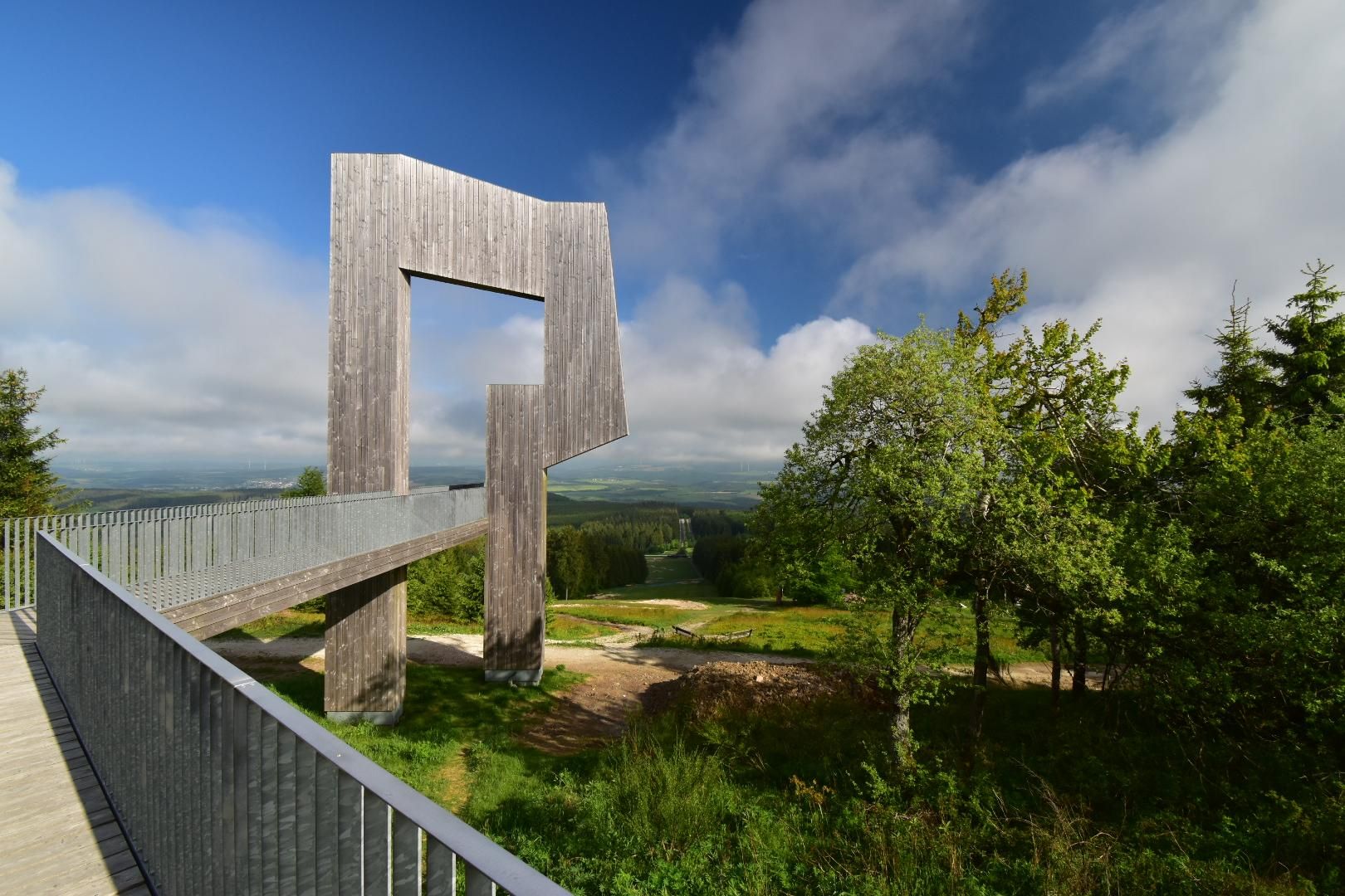
독일 자르-훈슈룩 클라임에서 하이킹 - 문화와 자연이 만나는 곳에
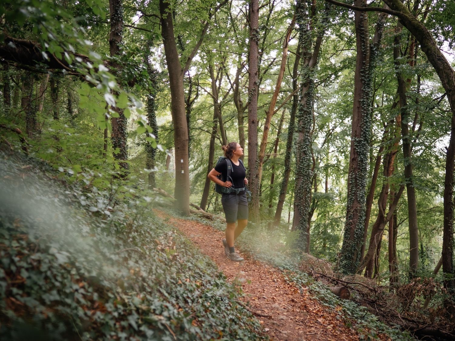
Day hikes on the Saar-Hunsrück Trail

Satisfy your Wanderlust – premium hiking trails in Saarland
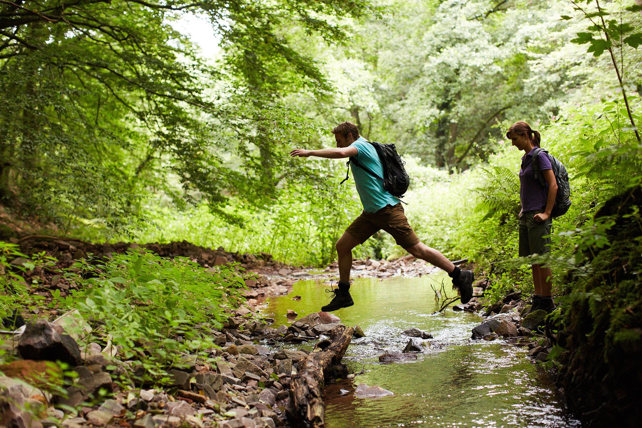
Countless trails, nature & history – hiking in Saarland
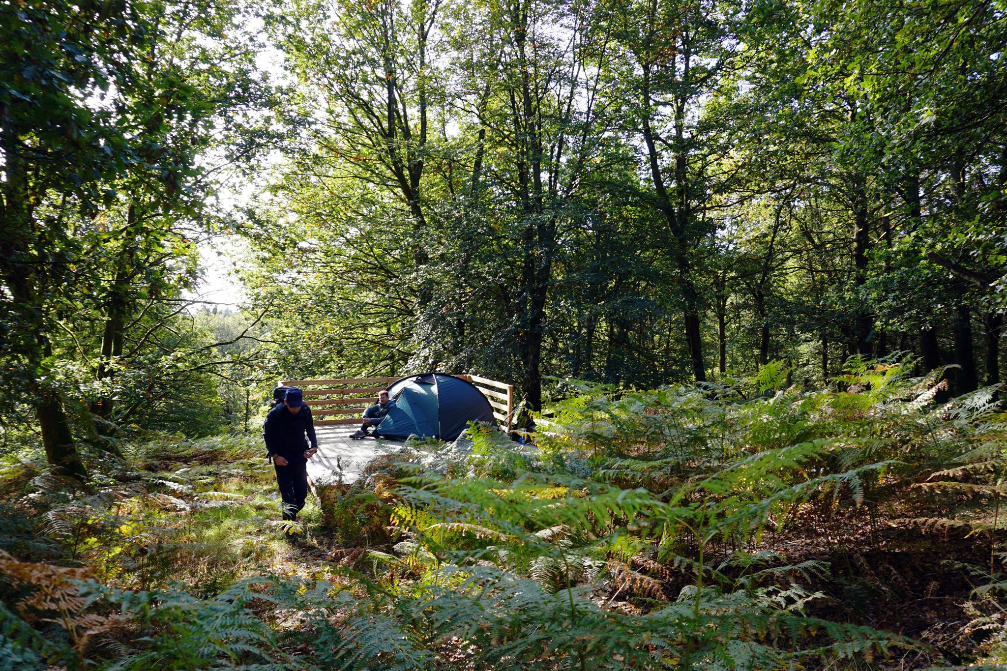
Trekkingfeeling auf dem Saar-Hunsrück-Steig – von Campground zu Campground

와던 사이클링

와던 MTB 트레일

와던 러닝 트레일

와던 로드 사이클링 경로

와던 주변 그래블 라이딩
와던 주변의 다른 모험


커뮤니티 팁


In the wooden shelter directly along the path, there are several signs about the game reserve and the association—from care and feeding to products made in-house (some of which are available from the vending machine). It's a good place to stop to learn more about the facility. Tip: Bring small change/EC debit cards for the vending machine, follow the signs, keep dogs on leashes, and keep your distance from the fence.
0
0
At the edge of the trail is a fenced game reserve – fallow deer are (presumably) often seen. A quick stop is worthwhile: a tranquil scene between the meadows and the fence. Tip: Keep dogs on a leash, keep your distance, and do not feed them. It's best to use a telephoto lens for photos and focus through the fence.
0
0


Between 1920 and 1935, the Sollbach Valley formed the border between the German Reich and the then “Saar region”, which was under the control of the League of Nations at that time.
3
0
The name Heidenborn indicates Roman origins.
3
0
Yes, the small rest area at the fish ponds is indeed very inviting.
3
0
Sollbach, Prims, and Kerzenbach, Mottenborn, Springentalquelle, and Heidenborn are the names of the streams and springs that can be experienced on this trail. The trail certainly bears its name. It also offers a magnificent, small-scale natural landscape with numerous rocky outcrops and predominantly deciduous forest. Views of the valleys and high forest heights are repeatedly encountered. Source: https://www.wanderinstitut.de/premiumwege/saarland/extratour-weg-des-wassers/
3
0


더 살펴보기
다른 지역의 최고의 하이킹를 살펴보세요.
