시에라 데 후아레스 최고의 워킹 & 하이킹 경로
4.9
(13)
188
등산객
10
하이킹
시에라 데 후아레스에서 하이킹하며 Ensenada 구석 부분까지 살펴볼까요? 시에라 데 후아레스에 있는 모든 하이킹 및 워킹 경로 컬렉션 중 가장 멋진 하이킹 경로를 엄선하여 소개해드릴게요. 다른 하이커가 공유한 실제 팁과 사진을 살펴보고 후기를 읽으며 마음에 드는 시에라 데 후아레스 워킹 경로를 찾아보세요.
마지막 업데이트: 10월 10, 2026
5.0
(1)
2
등산객
3.66km
01:00
10m
140m
Hike the easy 2.3-mile Pacific Crest Trail: Southern Terminus through Campo, gaining 41 feet in 1 hour, starting at the iconic monument.
2.91km
00:57
200m
30m
The Smugglers Cave Trail in Jacumba Wilderness offers a fascinating glimpse into the desert's natural artistry, with impressive rock formations, ancient wind caves, and arches carved by erosion. You'll traverse…

5.0
(4)
18
등산객
11.3km
03:26
370m
370m
보통 하이킹. 좋은 체력 필요. 실력과 관계없이 누구나 쉽게 갈 수 있는 길.
2
등산객
24.2km
07:20
770m
770m
Hike the challenging 15.1-mile Circular de Rancho Casian a Mesa Redonda loop in Baja California, gaining 2517 feet with ocean views.
1
등산객
2.48km
00:38
10m
10m
Embark on an easy hike through the Paseo por el Parque de la Amistad, a family-friendly recreational park perfect for a leisurely stroll. This route covers 1.5 miles (2.5 km)…
5.0
(1)
11
등산객
2.73km
01:25
340m
340m
보통 하이킹. 좋은 체력 필요. 실력과 관계없이 누구나 쉽게 갈 수 있는 길.
5.0
(3)
8
등산객
6.46km
02:16
340m
340m
보통 하이킹. 좋은 체력 필요. 실력과 관계없이 누구나 쉽게 갈 수 있는 길.
9
등산객
2.72km
00:43
20m
20m
초급용 하이킹. 모든 체력 수준에 적합. 실력과 관계없이 누구나 쉽게 갈 수 있는 길.
3
등산객
4.04km
01:02
10m
10m
초급용 하이킹. 모든 체력 수준에 적합. 실력과 관계없이 누구나 쉽게 갈 수 있는 길.
5
등산객
4.38km
01:14
90m
90m
초급용 하이킹. 모든 체력 수준에 적합. 실력과 관계없이 누구나 쉽게 갈 수 있는 길.
투어 추천은 다른 사람들이 komoot에서 완료한 수천 개의 활동을 바탕으로 구성되어 있습니다.
오늘 무료 계정으로 시작하세요
다음 모험이 기다리고 있어요.




커뮤니티 팁

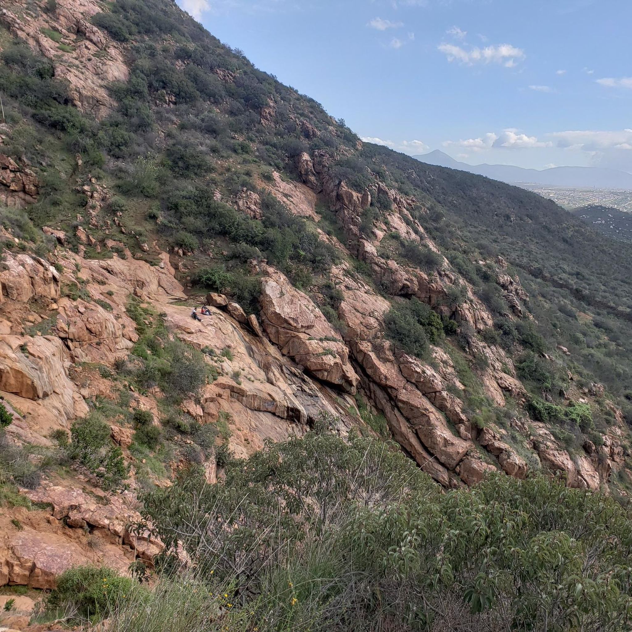
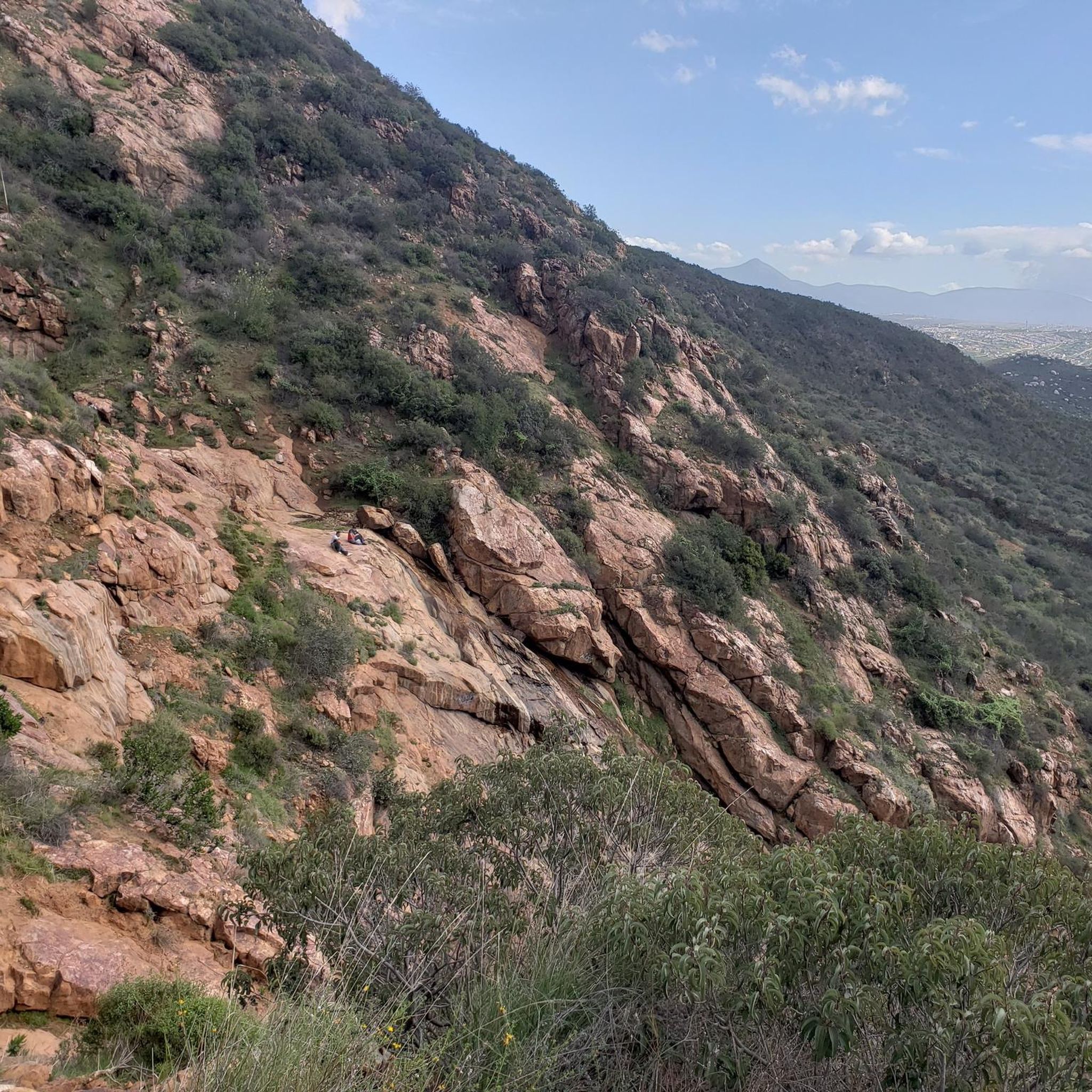
The summit of Mesa Redonda is a flat plateau on the outskirts of Tijuana, known as La Meseta, near the ejido of the same name. It is accessed by informal 10- to 12-kilometer round-trip trails from arid areas dotted with ranches and canyons. It offers sweeping panoramic views of the Pacific Ocean and the city.
0
0
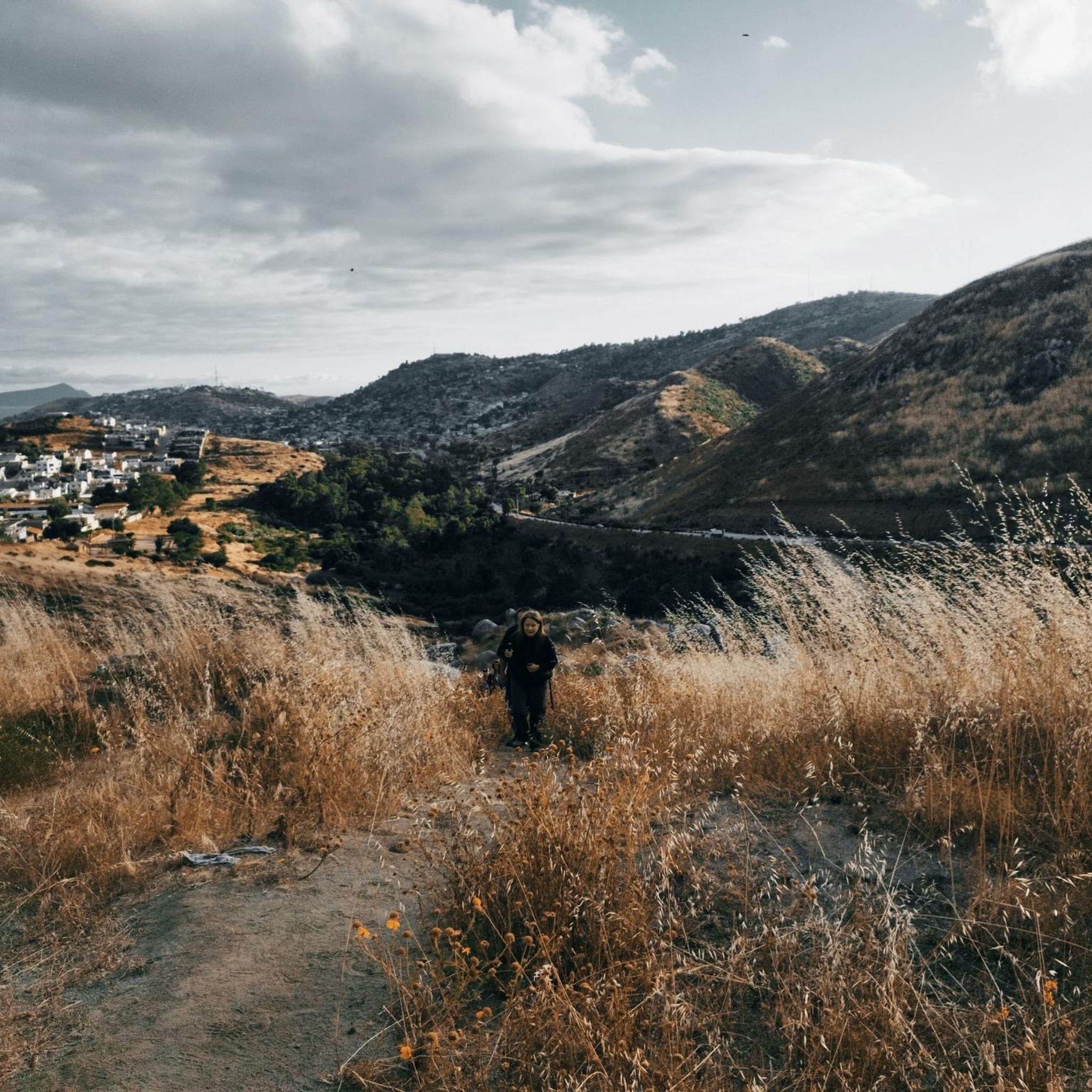
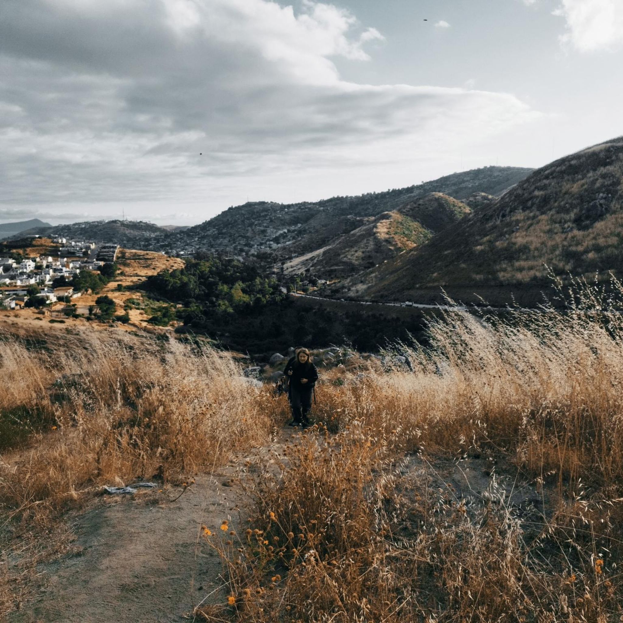
This fork in the road leads you to a bench in the middle of nowhere from where you can enjoy the views.
0
0

In the middle of Friendship Park lies this pretty little lake. You can sit by the water or walk along the path that loops around it.
0
0
Friendship Park is a lovely place for a city stroll. The circuit around the lake covers 1.5 kilometers.
0
0

From the bench at the top of the mountain, the views are simply breathtaking. You can gaze at the surrounding peaks that rise majestically.
0
0

CLEEF stands for Camp Lockett Event and Equestrian Facility. The facilities which have been expanded during the last years are located on 167 acres of property in the mountainous area of southeast San Diego County, approximately 1/4 mile from the trailhead for the Pacific Crest Trail. CLEEF serves as an ideal location for travelers embarking on the famous 2200 mile trek. https://campocleef.org/about-cleef
3
0
An iconic place with contradictions. The PCT's southern start/end point steles stand directly next to the oversized border fence with Mexico. The vast majority of thru-hikers begin their multi-month adventure north here, usually with a photo taken at the steles. A trail log is tucked between the steles, where you can sign your name. Information on how to get to the starting point can be found at: https://www.pcta.org/discover-the-trail/backcountry-basics/pct-transportation/directions-southern-terminus-pct/ https://pctsouthernterminusshuttle.com/
3
0

The Cleef Campground with Papa Bear is legendary - the breakfast is delicious and the toilets (2 minutes walk) in the trailer are clean.
1
0


