마쿠나가 최고의 워킹 & 하이킹 경로
4.4
(4195)
17,748
등산객
16
하이킹
정확한 경로를 찾는 것이 때로는 어렵지만 마쿠나가에서 하이킹을 하면 다양한 경치를 마음껏 감상할 수 있답니다. 마쿠나가에서 가장 멋진 하이킹과 워킹 중에서 마음에 드는 활동을 시작해보세요.
마지막 업데이트: 8월 30, 2026
5.0
(1)
2
등산객
20.3km
07:12
930m
940m
Hike the difficult T22: Laghetti di Nonio - Monte Croce Trail for 12.6 miles (20.3 km) and enjoy panoramic views over Lake Orta.
4.0
(1)
1
등산객
9.34km
03:01
430m
420m
Hike the moderate Alpe Camasca Trail T20b, a 5.8-mile route through Piedmont's alpine pastures with panoramic views.

4.2
(12)
88
등산객
14.6km
05:35
840m
840m
어려운 하이킹. 우수한 체력 필요. 대부분 갈 수 있는 길. 미끄러지지 않게 조심해야 함.
4.5
(10)
73
등산객
6.66km
02:58
470m
470m
보통 하이킹. 좋은 체력 필요. 대부분 갈 수 있는 길. 미끄러지지 않게 조심해야 함.
5.0
(8)
46
등산객
11.9km
03:27
310m
300m
보통 하이킹. 좋은 체력 필요. 대부분 갈 수 있는 길. 미끄러지지 않게 조심해야 함.
더 다양한 경로와 다른 탐험가들의 추천을 살펴보세요.
이미 komoot 계정이 있나요?
투어 추천은 다른 사람들이 komoot에서 완료한 수천 개의 활동을 바탕으로 구성되어 있습니다.
오늘 무료 계정으로 시작하세요
다음 모험이 기다리고 있어요.

커뮤니티 팁


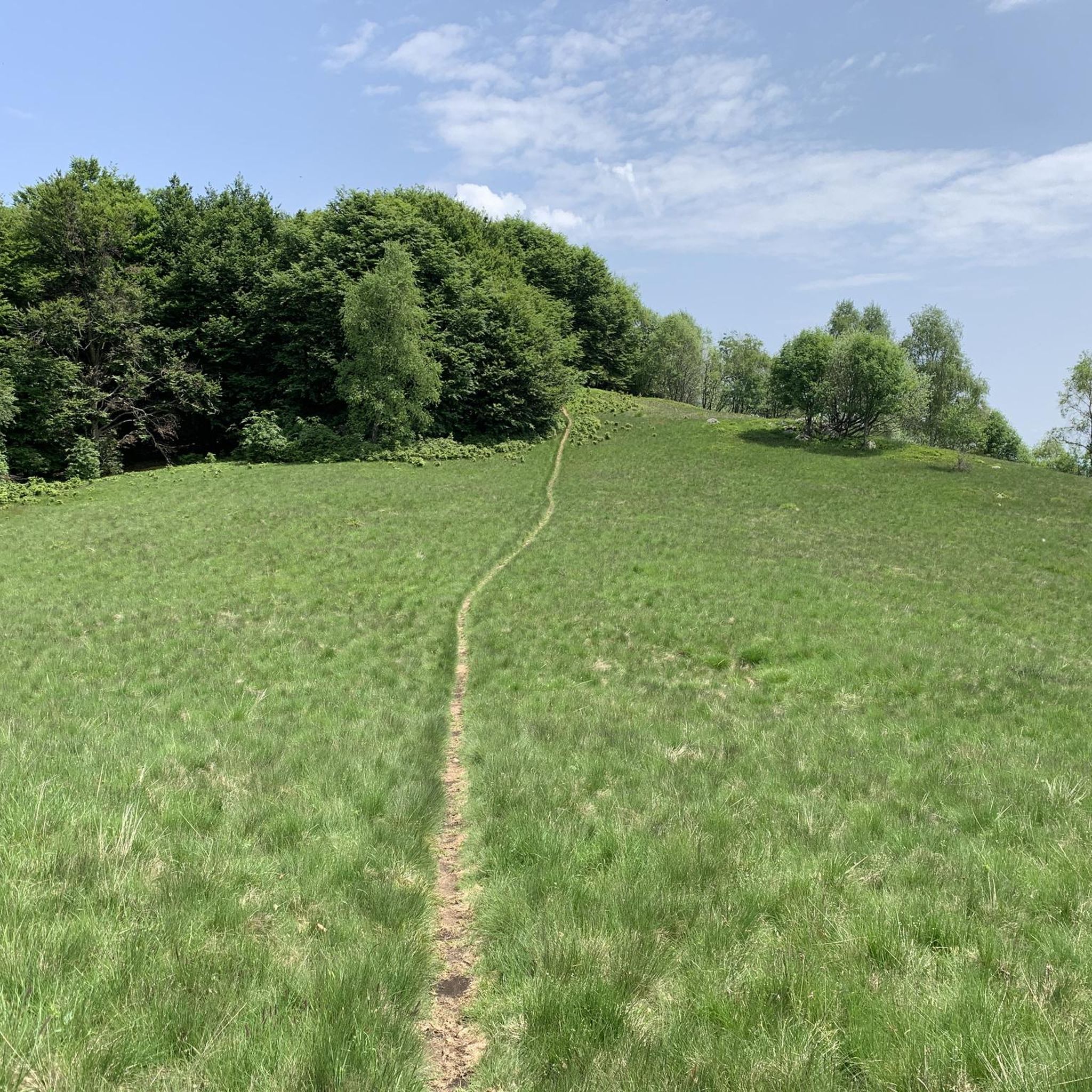
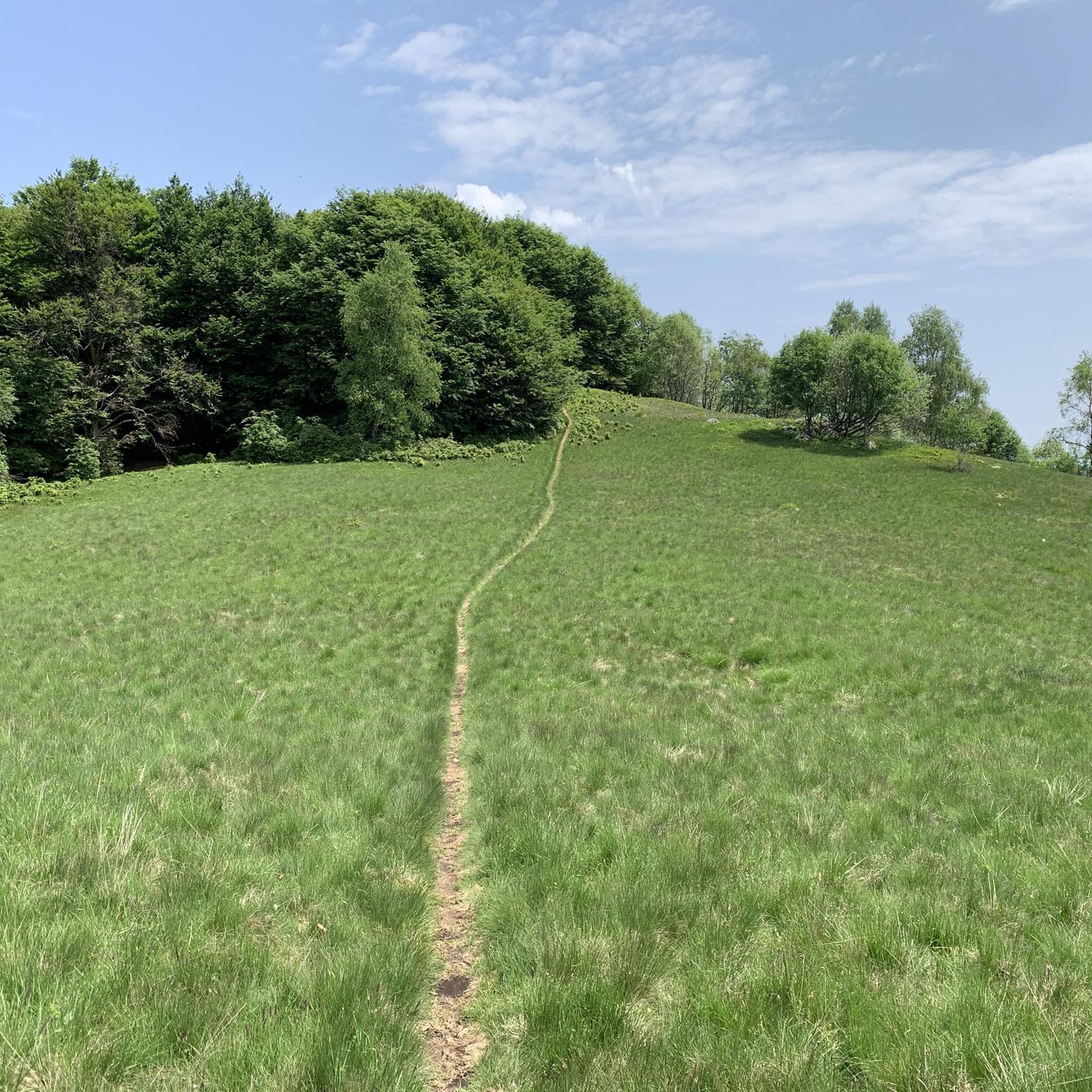
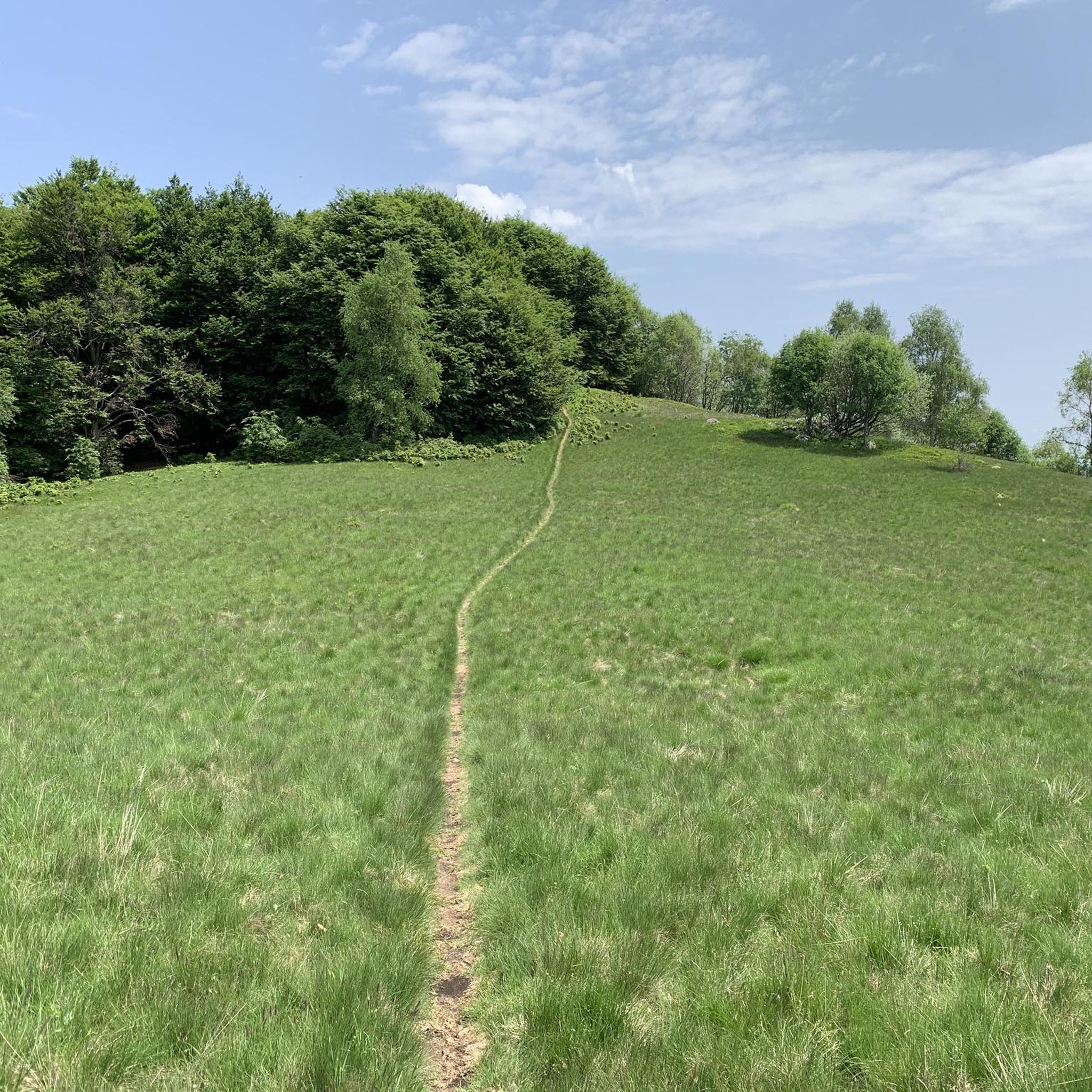
departure from the Camasca alp along a well-marked path, initially in the woods and then becoming a path that climbs up taking us to the top in about an hour, from here we continue towards the Turlo mass with a panoramic walk and an up and down almost all on the crest, in three hours total the climb is completed
0
0


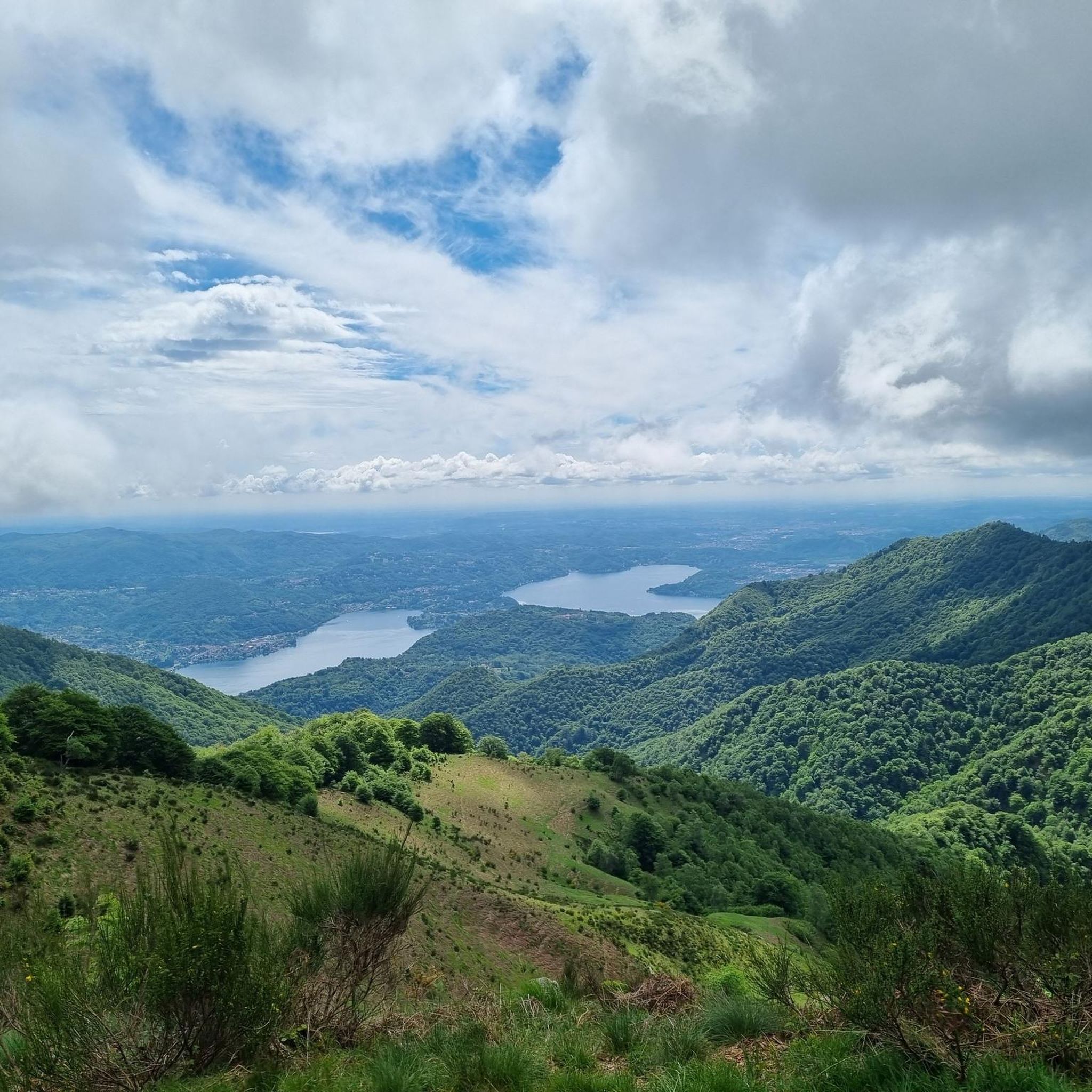
Beautiful panoramic point and a place to rest for a picnic
0
0

Alpeggio easily reachable by car, starting point for many excursions of all levels, from short walks to more challenging walks in the pre-Alps on the border with Vallestrona and Valsesia
1
0

At the lakes we find the Osteria Rifugio del Pescatore, managed by the Nonio Hunters and Fishermen Association, an excellent refreshment point and just above the inn there is a large car park where you can leave your cars and a small picnic area with a small playground (excellent for spending a summer afternoon for families with children)
0
0


Lake for sport fishing in the municipality of Nonio (VB)
0
0


더 살펴보기
다른 지역의 최고의 하이킹를 살펴보세요.
