세라 다 에스트렐라 산맥 최고의 라이딩 경로
4.7
(147)
5,804
자전거 타는 사람
360
라이딩
세라 다 에스트렐라 산맥에서 하이킹하며 카스텔로 브랑코 구석 부분까지 살펴볼까요? 세라 다 에스트렐라 산맥에 있는 모든 하이킹 및 워킹 경로 컬렉션 중 가장 멋진 하이킹 경로를 엄선하여 소개해드릴게요. 다른 하이커가 공유한 실제 팁과 사진을 살펴보고 후기를 읽으며 마음에 드는 세라 다 에스트렐라 산맥 워킹 경로를 찾아보세요.
마지막 업데이트: 10월 10, 2026
5.0
(3)
216
자전거 타는 사람
70.7km
04:35
1,910m
1,910m
어려운 도로 자전거 타기. 우수한 체력 필요. 지면 대부분이 잘 포장되어 있고 라이딩하기 쉬움.
5.0
(2)
107
자전거 타는 사람
53.9km
03:19
1,400m
1,400m
This difficult 33.5-mile road cycling route to Alto do Trevim offers significant elevation gain and panoramic views in Serra da Lousã.

18
자전거 타는 사람
83.7km
04:54
1,970m
1,970m
This difficult 52.0-mile road cycling loop from Manteigas in Serra da Estrela offers challenging climbs and stunning mountain views.
5.0
(1)
18
자전거 타는 사람
51.8km
03:12
1,370m
1,370m
어려운 도로 자전거 타기. 우수한 체력 필요. 지면 대부분이 잘 포장되어 있고 라이딩하기 쉬움.
9
자전거 타는 사람
43.0km
02:28
950m
960m
어려운 도로 자전거 타기. 우수한 체력 필요. 지면 대부분이 잘 포장되어 있고 라이딩하기 쉬움.
1
자전거 타는 사람
81.7km
05:05
2,230m
2,230m
어려운 도로 자전거 타기. 우수한 체력 필요. 지면 대부분이 잘 포장되어 있고 라이딩하기 쉬움.
170
자전거 타는 사람
99.4km
05:28
2,030m
2,030m
어려운 도로 자전거 타기. 우수한 체력 필요. 투어 중 라이딩하기 어려운 비포장 구간이 있을 수 있음.
4.8
(5)
161
자전거 타는 사람
57.3km
03:38
1,680m
1,680m
어려운 도로 자전거 타기. 우수한 체력 필요. 지면 대부분이 잘 포장되어 있고 라이딩하기 쉬움.
4.5
(4)
158
자전거 타는 사람
55.5km
03:46
1,760m
1,760m
어려운 도로 자전거 타기. 우수한 체력 필요. 지면 대부분이 잘 포장되어 있고 라이딩하기 쉬움.
4.8
(5)
129
자전거 타는 사람
81.0km
04:59
2,120m
2,120m
어려운 도로 자전거 타기. 우수한 체력 필요. 지면 대부분이 잘 포장되어 있고 라이딩하기 쉬움.
더 다양한 경로와 다른 탐험가들의 추천을 살펴보세요.
이미 komoot 계정이 있나요?
투어 추천은 다른 사람들이 komoot에서 완료한 수천 개의 활동을 바탕으로 구성되어 있습니다.
오늘 무료 계정으로 시작하세요
다음 모험이 기다리고 있어요.


커뮤니티 팁

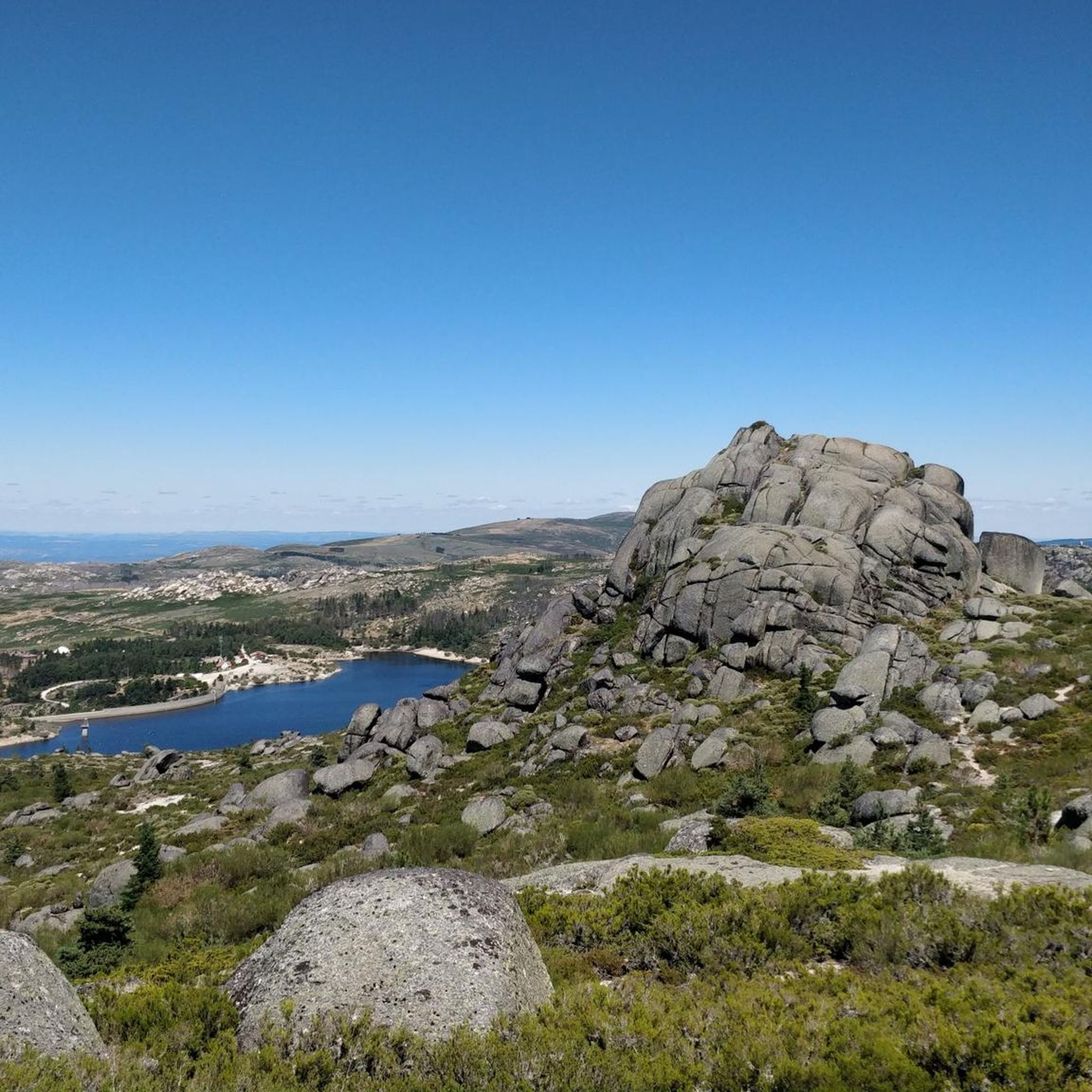
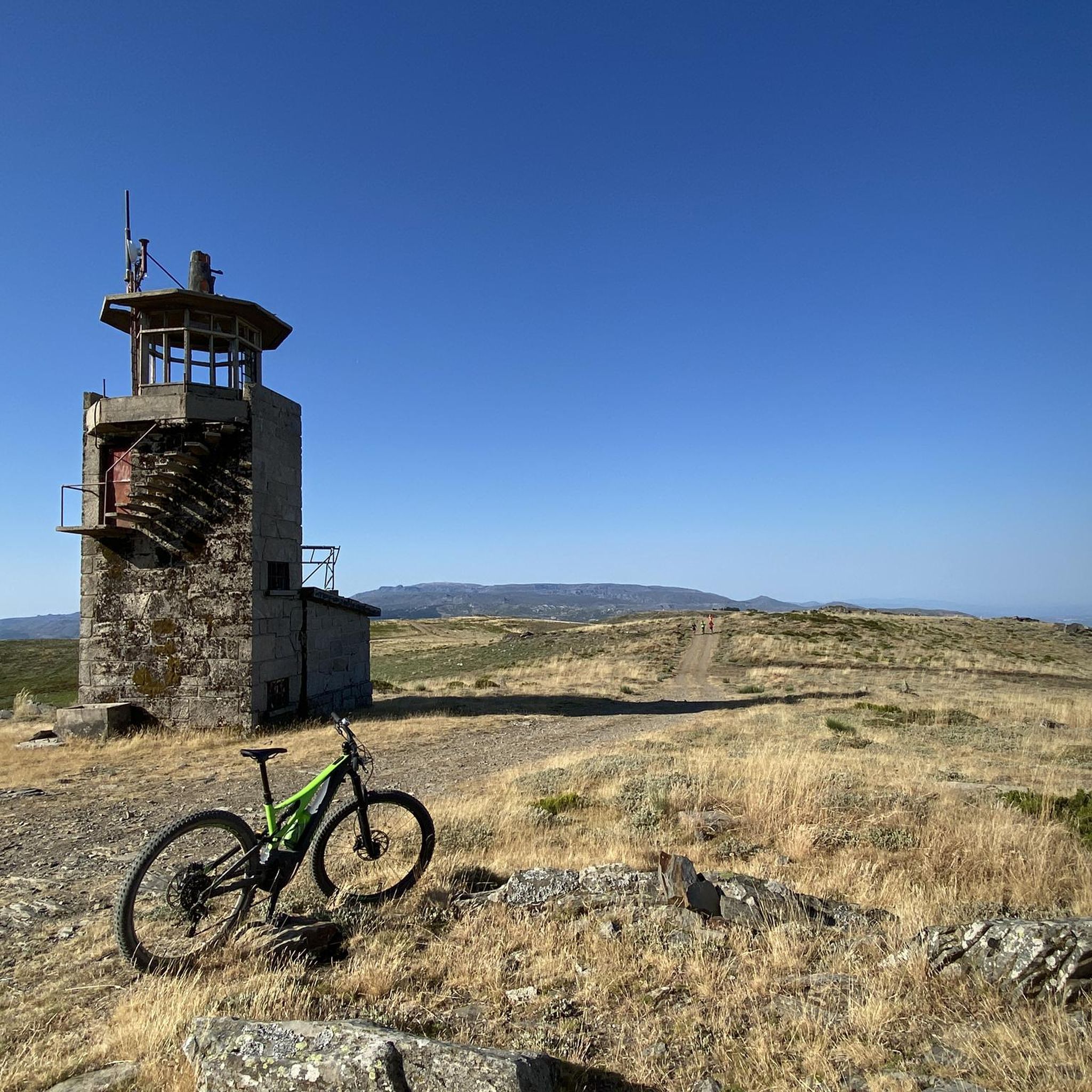
공원 중심부에 있으며 아름다운 포장 도로를 통해 쉽게 접근할 수 있는 곳에 토레(Torre)가 있습니다. 이곳은 세라 다 에스트렐라(Serra da Estrela) 산맥의 최고봉이며, 대륙 포르투갈 어디에서도 이곳보다 더 높은 곳은 없습니다. 실제로 최고점은 해발 1,993미터입니다. 산 정상 위에 있는 7미터 높이의 작은 탑이 2,000미터를 완성합니다.
6
0

토레는 해발 1,993미터로 포르투갈 본토에서 가장 높은 지점입니다. 세라 다 에스트렐라 자연공원 중심부에 위치하며 세이아, 만테이가스, 코빌량 지자체 간의 경계를 이룹니다. 정확히 2,000미터를 달성하기 위해 주앙 6세 국왕은 19세기 초 고원 정상에 돌 기념비를 세우도록 명령했습니다.👍🥾
0
0
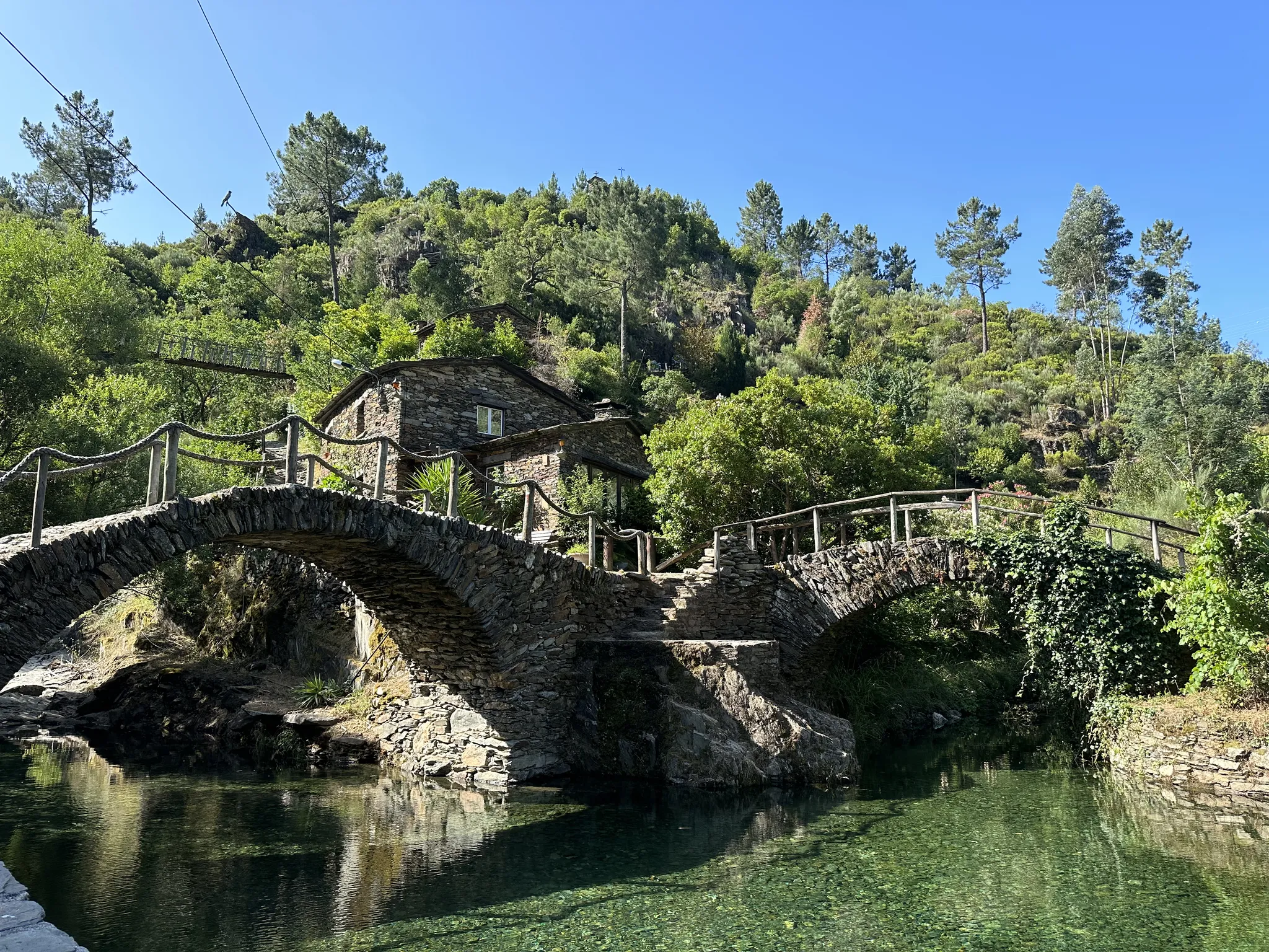
Ceira 강 위의 Ponte Real (또는 Ponte Velha)는 Góis 마을에 위치하며 이 지역의 역사적인 랜드마크 중 하나입니다. 나중에 개조된 이 중세 양식의 다리는 몬데고 강의 왼쪽 지류인 Ceira 강을 가로지르는 중요한 관광 명소이며, 이 강은 Serra do Açor에서 발원합니다. 위치: Góis 마을 중심부, 도보 접근 용이. 특징: 군주 시대의 교량 건설 전형인 석조 아치로 이루어진 인상적인 구조물. 주변: 이 지역 근처의 Ceira 강은 여름철에 매우 인기 있는 강변 해변을 제공하며, 수질과 평온함으로 유명합니다. 역사: 이 지역의 마누엘 양식/중세 시대의 건축 유산에 통합되어 있습니다.
1
0

"Terreiro das Bruxas" is a place in the middle of nature for resting after a hike and for picnics; it has restrooms and drinking water.
0
0
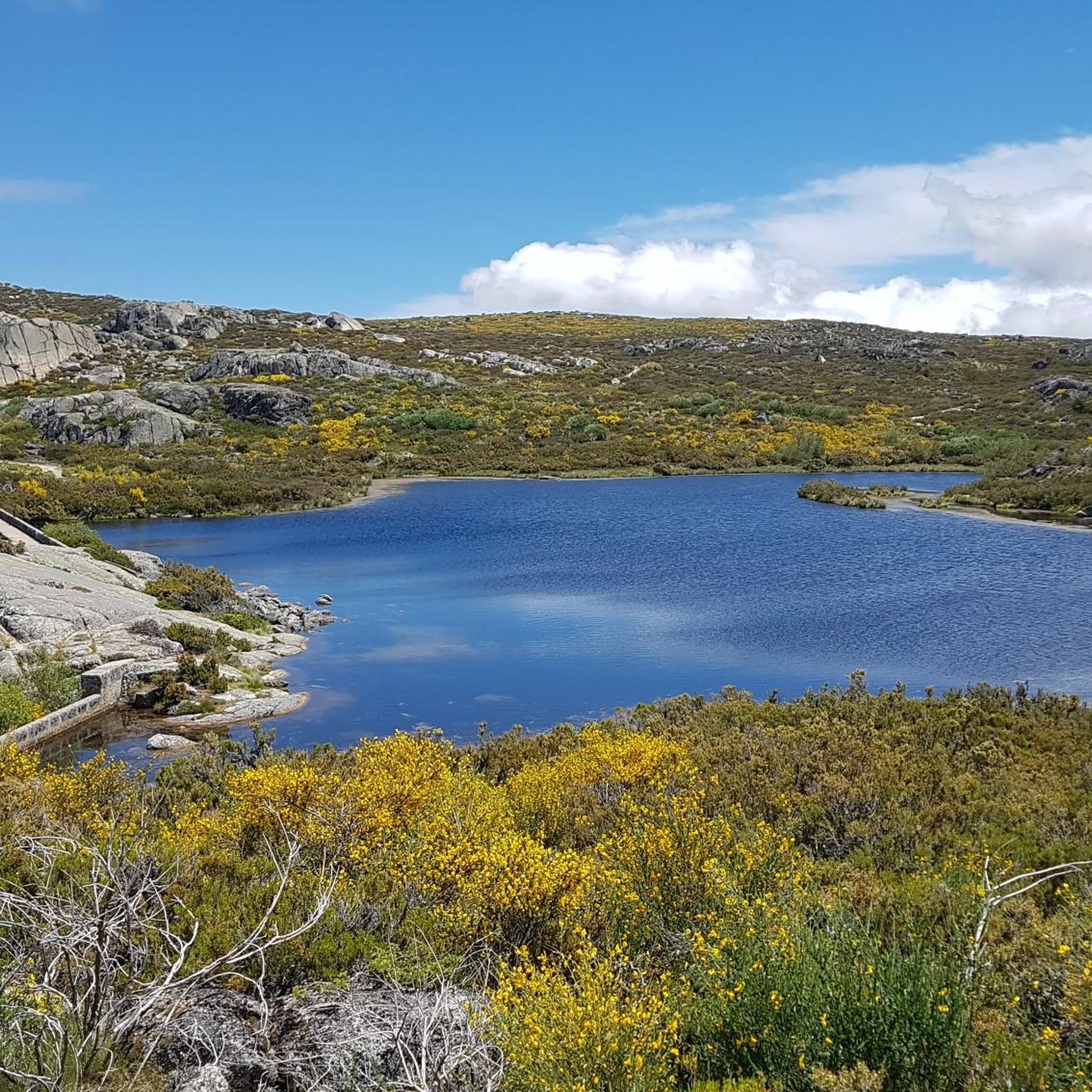
Cântaro Magro is one of the "commonplaces" of the Serra da Estrela mountain range, whose summit rises to 1928 m altitude, deserving a visit at any time of year. Viewed from west to east, its silhouette resembles a pitcher. In summer, its rocky face is interrupted by small terraces of soil, where some of the rarest botanical jewels of the mountain range grow. In winter, it is covered in snow and ice which, as they melt, form ephemeral waterfalls. These recall the overflowing liquid from the pitchers carried on the heads of women when, in the past, they went to the fountains. #CISE #VisitSeia #ParqueNaturaldaSerradaEstrela
0
0


Sabugueiro, the village vying for the title of highest in Portugal, is also one of the most authentic ambassadors of mountain life. Among granite houses and comforting flavors (cheese, sausages, roast kid, and honey), you can find the warmth of blankets and burel coats and the company of the faithful Serra da Estrela mountain dogs. Surrounding waterfalls, streams, and lakes remind you that here, nature is as generous as the table.
3
0
세라 다 에스트렐라 산맥에서 가장 인기 있는 경로
세라 다 에스트렐라 산맥에서 가장 인기 있는 명소


더 살펴보기
다른 지역의 최고의 로드 사이클링 경로를 살펴보세요.
