슈뵈르슈타트 최고의 MTB 라이딩 경로
4.6
(2901)
9,363
자전거 타는 사람
685
라이딩
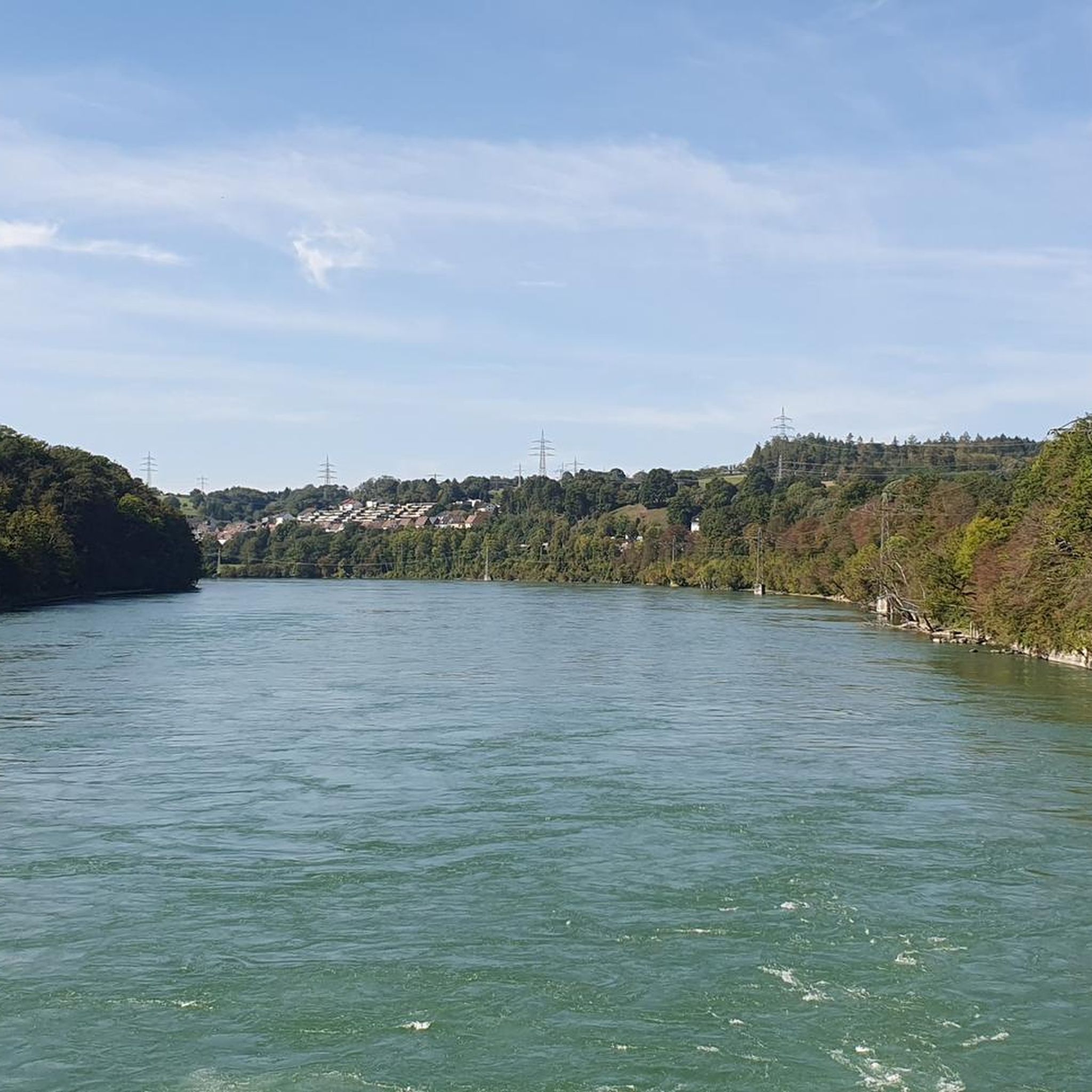
슈버슈타트 주변의 산악자전거 코스는 구불구불한 언덕, 울창한 숲, 강 계곡으로 특징지어지는 다양한 풍경을 제공합니다. 이 지역의 다채로운 지형은 완만한 길부터 더욱 도전적인 오르막까지 다양한 기술 수준에 적합한 지형을 제공합니다. 라인강 상류와 딘켈베르크 사이에 위치하여 탐험할 수 있는 자연적 특징이 혼합되어 있습니다. 이 지역은 여유로운 라이딩과 힘든 산악자전거 경험 모두에 이상적입니다.
슈버슈타트 주변 최고의 산악자전거 코스
- 가장 인기 있는 산악자전거 코스는 베우겐에서 출발하는 호에-뫼르-투름 – 호에 뫼르 트레일 루프로, 48.5km(30.1마일) 길이의 어려운 코스이며 완료하는 데 4시간 16분이 걸립니다. 이 루프는…
마지막 업데이트: 7월 17, 2026
4.7
(48)
190
자전거 타는 사람
56.3km
03:20
310m
310m
보통 산악 자전거 타기. 좋은 체력 필요. 뛰어난 라이딩 실력이 필요함.
4.6
(10)
22
자전거 타는 사람
32.8km
02:21
490m
490m
보통 산악 자전거 타기. 좋은 체력 필요. 실력과 관계없이 누구나 갈 수 있음.

무료 회원 가입
5.0
(8)
5
자전거 타는 사람
23.8km
01:46
360m
360m
보통 산악 자전거 타기. 좋은 체력 필요. 뛰어난 라이딩 실력이 필요함.
4.6
(5)
8
자전거 타는 사람
27.4km
02:04
400m
400m
보통 산악 자전거 타기. 좋은 체력 필요. 실력과 관계없이 누구나 갈 수 있음.
5
자전거 타는 사람
26.7km
02:02
440m
440m
보통 산악 자전거 타기. 좋은 체력 필요. 뛰어난 라이딩 실력이 필요함.
더 다양한 경로와 다른 탐험가들의 추천을 살펴보세요.
무료 회원 가입
이미 komoot 계정이 있나요?
투어 추천은 다른 사람들이 komoot에서 완료한 수천 개의 활동을 바탕으로 구성되어 있습니다.
오늘 무료 계정으로 시작하세요
다음 모험이 기다리고 있어요.
로그인 또는 가입하기
커뮤니티 팁


The square with its fountain was redesigned by the citizens of Wiechs in 1956; previously, it was a cattle trough. Those who don't feel like climbing the tower can take a break here with a view of the Rhine and the Alps.
3
0
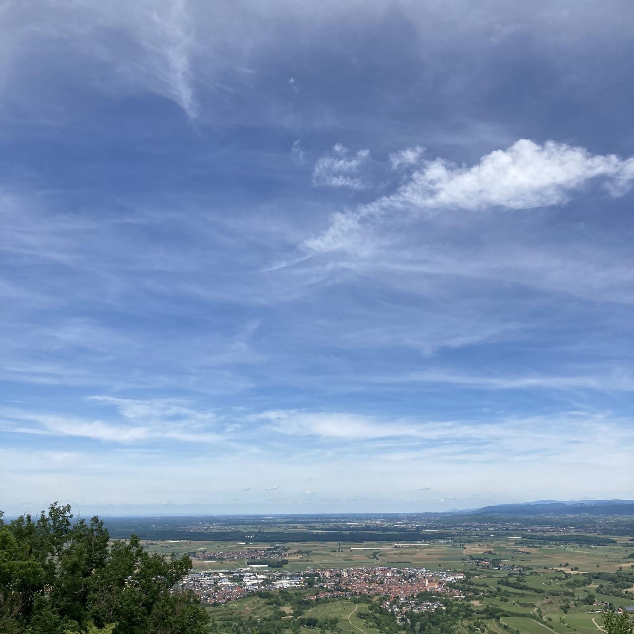
The Hohe-Flum Tower stands on the highest point of the Dinkelberg, at 535 meters above sea level. The 13.5-meter-high tower was built in 1874. Sixty-two steps lead up to the platform. From there, one has a magnificent panoramic view in all directions. To the south, one can see the Swiss Jura plateau and, in good weather, the Alps beyond. To the west, the view extends to the Vosges Mountains, and to the north and east, to the Black Forest. The Entegast, Zeller Blauen, Hohe Möhr, and other peaks are also visible.
5
0

Magnificent view of the Rhine. The tower is free. The steps are pleasantly wide—shouldn't be a problem even if you're afraid of heights 😉
0
0


Wild boar burrows are still open. Watch out for the thorns, they hurt. 😂 Ride with some foresight, but the trail is a dream 🥰
2
0

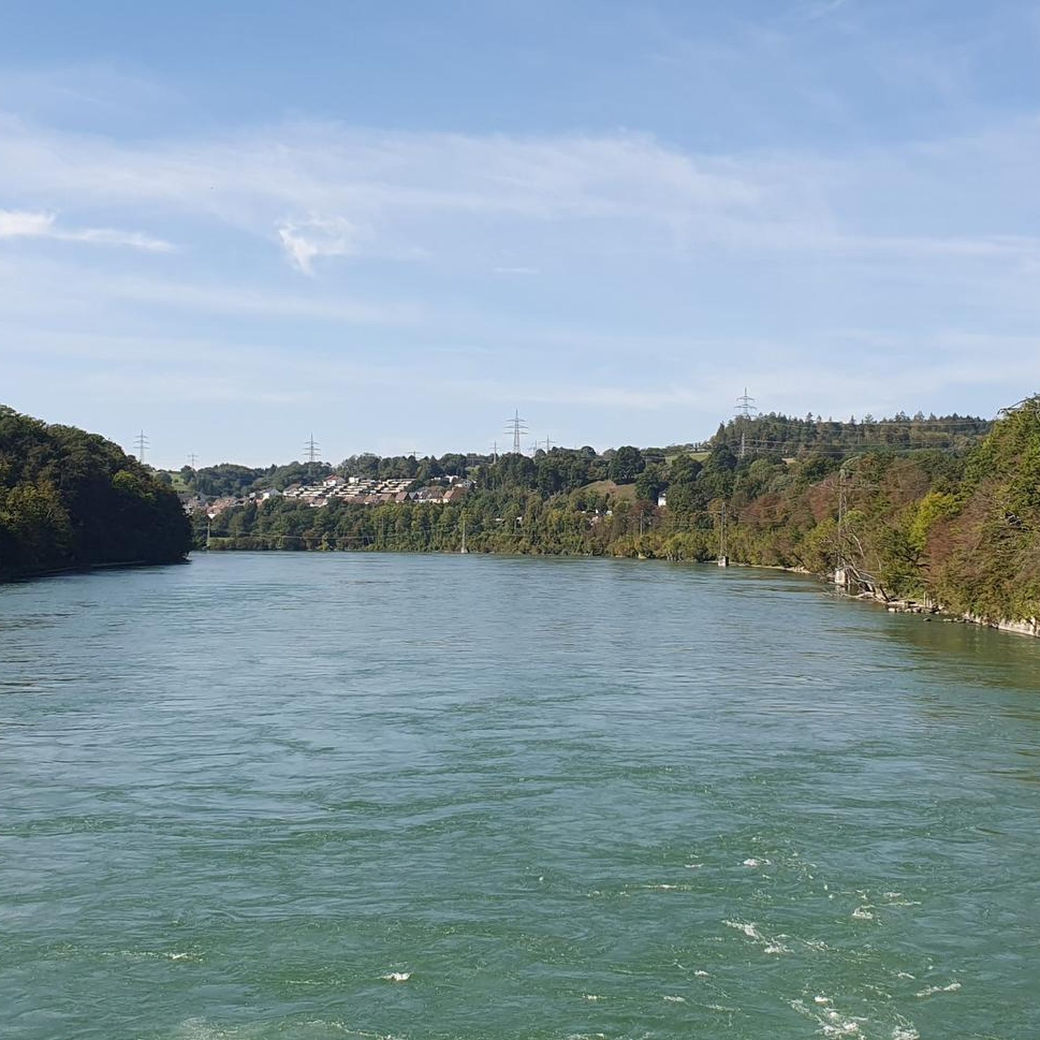
Beautiful view from Laufenburg. You have to climb the rather steep hill, but the view is definitely worth it. Back down, reward yourself with an ice cream.
2
0

슈뵈르슈타트 주변에서 가장 인기 있는 명소


더 살펴보기
다른 지역의 최고의 MTB 트레일를 살펴보세요.
