20의 산투 안토니 아루이나스/빌라 산안토니오가지 명소 & 주요 장소
산투 안토니 아루이나스/빌라 산안토니오에는 둘러볼 만한 장소가 많답니다. 하이킹 또는 사이클링을 좋아한다면 산투 안토니 아루이나스/빌라 산안토니오에 숨겨진 20
가지 보석을 만날 수 있을 거예요. 이 지역의 주요 명소를 살펴보면서 다음 모험을 계획해보세요.
마지막 업데이트: 8월 25, 2026

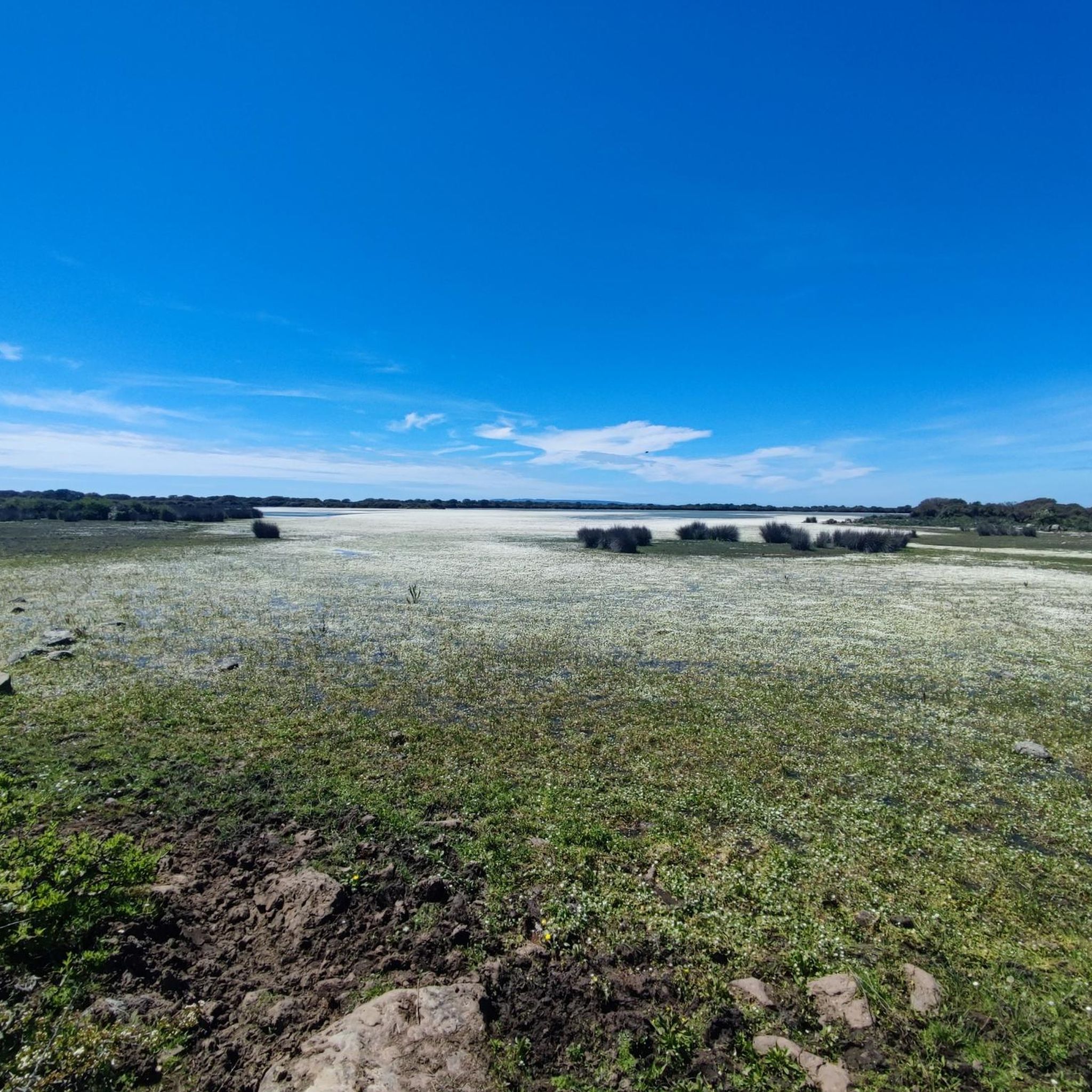
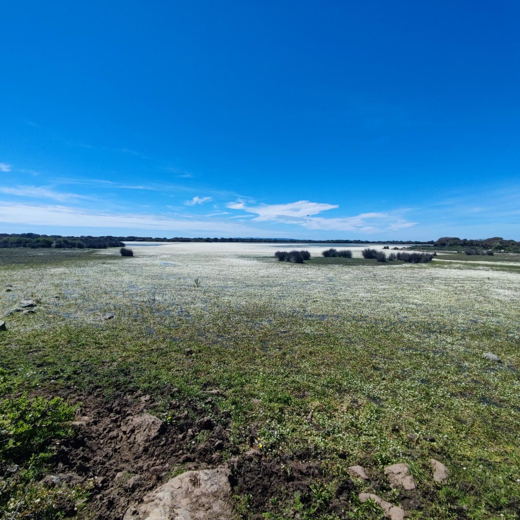
제스투리 평원의 야생마
하이라이트 • 자연
번역자 Google •
팁에 의해

이런 장소를 발견하려면 지금 가입하세요
최고의 싱글 트랙, 봉우리 및 다양한 흥미로운 야외 장소에 대한 추천을 받아보세요.
무료 회원 가입
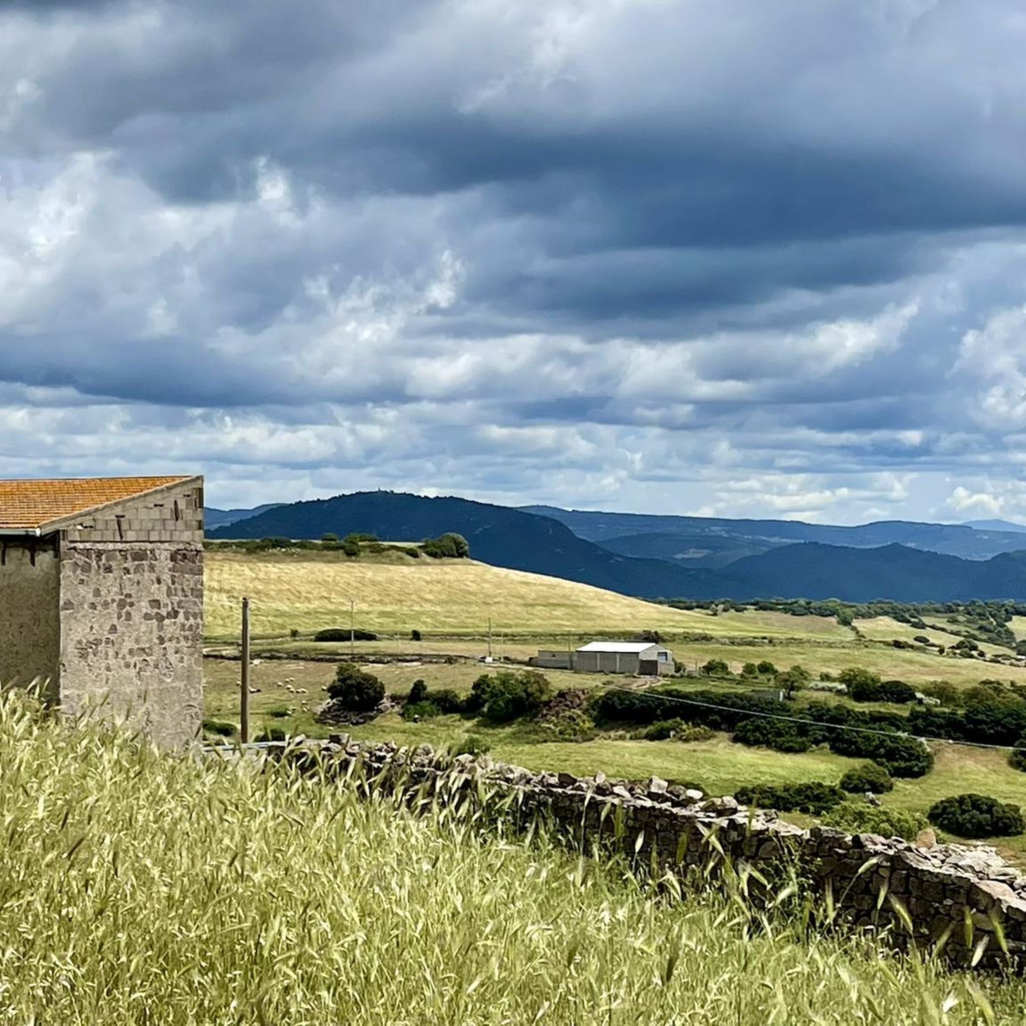
루이나스-알라이 연결 도로
하이라이트 (구간) • 자전거 도로
번역자 Google •
팁에 의해

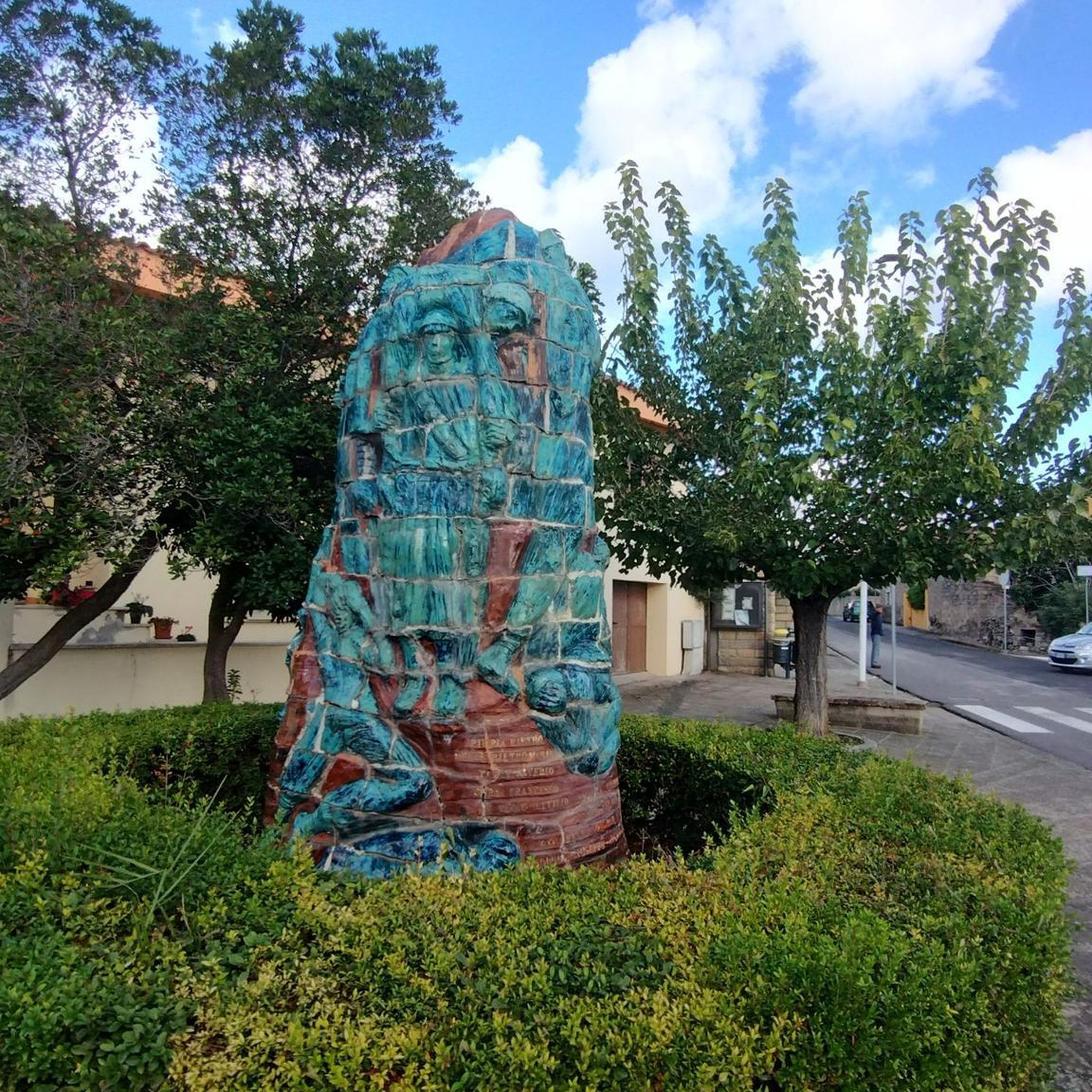
산 도미노 교회의 고대 올리브나무
하이라이트 • 자연 기념물
It stands near the parish church of Santa Maria and is surrounded by a large green area that separates it from the surrounding area.
번역자 Google •
팁에 의해

무료로 가입하여 산투 안토니 아루이나스/빌라 산안토니오 주변의 더 많은 명소를 발견하세요.
무료 회원 가입
이미 komoot 계정이 있나요?
오늘 무료 계정으로 시작하세요
다음 모험이 기다리고 있어요.
로그인 또는 가입하기

커뮤니티 팁

Visitors taking the path past the Church of San Marco can admire the centuries-old olive trees and reach "Su strintu 'e cresia." Turning right, you can visit the Parish Church of Santa Maria and, in the area in front, the Church of San Domino, which houses a centuries-old olive tree declared a UNESCO World Heritage Site. https://monumentiaperti.com/it/edizioni/2024/comuni/genuri/monumenti/ulivi-plurisecolari-dichiarati-patrimonio-dellunesco/
1
0
The Church of San Domino is located in the Genuri countryside. It stands near the parish church of Santa Maria and is surrounded by a large green area that separates it from the surrounding area. Based on its architectural style, it is believed to have been built in the 15th century, almost contemporaneously with that of San Marco Evangelista. Due to its status as a listed building, extensive restoration work was necessary in the 1990s. Today, the church presents itself as it was restored. The structure is simple and consists of a single nave, to which a small building was added on the right side in the 19th century. This building serves as a sacristy and partially encloses two of the three buttresses that support the church on each side. The flat-topped façade is characterized by well-hewn stone blocks and is flanked by a wall on which the bell gable with two arches, also added in the 19th century, rises. The church is characterized by its extreme simplicity and the absence of any distinctive architectural elements. Inside, an important decorative element has been preserved: a very original small altar in painted stone, consisting of a base supporting a niche with an architrave between two columns with capitals, framed by the symbols of the four evangelists and two medallions bearing Christ's monogram. A Latin inscription runs along the architrave, decorated with dentils. https://idese.cultura.gov.it/place/chiesa-di-san-domino/
1
0
The Nuraghe San Marco stands on the eastern outskirts of Genuri, on the slopes of the southwestern side of the Jara Manna, the largest and most famous Giara. The basalt used to build the monument came from the plateau, which was also a source of food and resources for the peoples who inhabited the Marmilla region, while marl was used for the restoration work that took place in later phases. The building has a complex structure, consisting of a keep and three towers, and it is surrounded by a rampart with five other towers, except for the north side, perhaps because the builders considered the natural protection of the Giara plateau sufficient. Curiously, the southeast tower has a smaller diameter than the other two, while the northeast wall, which follows the profile of the central tower, has sometimes been interpreted as the wall of a fourth corner tower. In the space between the keep and the connecting curtain walls between the towers is a crescent-shaped courtyard, accessed through the entrance to the building on the south side. From the courtyard, which also contains a well, one enters the keep and the corridors leading to the side towers. Inside the keep, the space is cruciform, with two niches at the front and a third opposite the staircase. The northwest tower features six loopholes, two niches, and the absence of an entrance corridor. It opens directly onto the courtyard. Archaeological research has revealed that between the Late Bronze Age and the Late Bronze Age, a destructive event occurred, with relative collapse and subsequent rebuilding: San Marco probably witnessed a – still mysterious – period of crisis and conflict between the Nuragic tribes between the 2nd and 1st millennium BC. The site shows traces of human presence in the Punic period, and there was undoubtedly a settlement there between the late Roman period and the Early Middle Ages. At least eleven "new" rooms were built or added over the nuraghe, some of which probably served as food storage rooms, while the courtyard and towers were used for various purposes, sometimes even for burials. https://www.sardegnaturismo.it/en/explore/nuraghe-san-marco
0
0

the spectacle of the Giara horses in this context of wild nature is truly evocative
0
0

Good asphalt, great views, challenging climb.
0
0

A spectacular place
0
0

It should be very nice, unfortunately not accessible
0
0

Some unfortunately destroyed by the incivility of today.
0
0


더 살펴보기
찾고 있는 하이라이트를 아직 못 찾으셨나요? 다른 지역의 주요 명소 가이드를 확인해보세요:
