프랑카빌라 디 시칠리아 최고의 러닝 경로
5.0
(1)
140
달리기 하는 사람
27
러닝
조깅 코스는 프랑카빌라 디 시칠리아 주변의 알칸타라 강 계곡을 가로지르며, 강변길과 주변 언덕을 통과하는 트레일을 제공합니다. 이 지역은 경작지와 자연 삼림 지대에 이르기까지 다양한 지형을 특징으로 하여 다채로운 러닝 환경을 제공합니다. 러너들은 고대 용암류와 펠로리타니 산맥에 의해 형성된 지역을 포함하여 역사적인 장소를 통과하며 현지 시골의 풍경을 조망할 수 있는 코스를 기대할 수 있습니다.
프랑카빌라 디 시칠리아 주변 최고의 조깅 코스
- 가장 인기 있는 조깅 코스는 프랑카빌라 디 시칠리아에서 출발하는 카스틸리오네 디 시칠리아 – 알칸타라 협곡 루프로, 34.7km(21.5마일) 길이이며 완료하는…
마지막 업데이트: 10월 8, 2026
44
달리기 하는 사람
33.6km
04:10
1,190m
1,190m
어려운 조깅. 우수한 체력 필요. 튼튼한 신발을 신고 미끄러지지 않게 조심해야 하며, 높은 산을 오른 경험이 있어야 함.
7
달리기 하는 사람
16.1km
01:43
220m
220m
어려운 조깅. 우수한 체력 필요. 대부분 포장된 지면. 실력과 관계없이 누구나 갈 수 있음.

6
달리기 하는 사람
15.5km
01:41
260m
260m
어려운 조깅. 우수한 체력 필요. 대부분 포장된 지면. 실력과 관계없이 누구나 갈 수 있음.
5
달리기 하는 사람
10.1km
01:08
180m
180m
보통 조깅. 좋은 체력 필요. 대부분 포장된 지면. 실력과 관계없이 누구나 갈 수 있음.
7
달리기 하는 사람
17.6km
02:03
590m
590m
어려운 조깅. 우수한 체력 필요. 대부분 포장된 지면. 실력과 관계없이 누구나 갈 수 있음.
더 다양한 경로와 다른 탐험가들의 추천을 살펴보세요.
이미 komoot 계정이 있나요?
투어 추천은 다른 사람들이 komoot에서 완료한 수천 개의 활동을 바탕으로 구성되어 있습니다.
오늘 무료 계정으로 시작하세요
다음 모험이 기다리고 있어요.

커뮤니티 팁

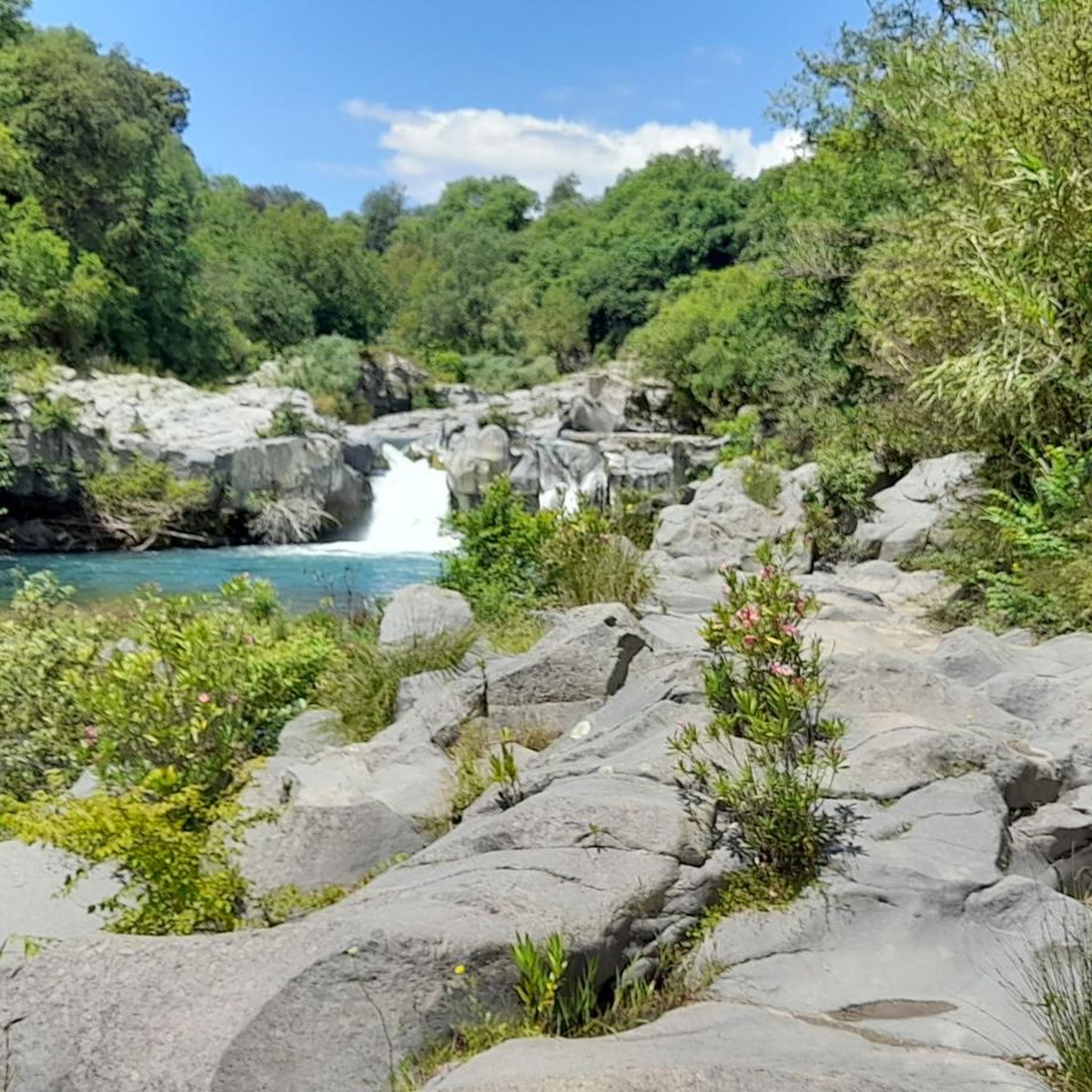
This is really a really beautiful spot!!
1
1

Very cold water all year round. Very busy in summer. After rain in winter, the gorge is partially closed due to the risk of floods.
2
0


The formation of the Alcantara riverbed can be traced back to around 300,000 years ago, although the current configuration of the river in the gorge section is mainly the result of the lava flows that occurred in the last 8,000 years. The interaction between the river water and the underlying magmatic mass played a crucial role in this process, causing accelerated cooling. This phenomenon has generated a series of irregular fractures, some of which have a chaotic arrangement, while others show a more regular geometry. Among these formations, we can identify prismatic structures of various configurations, including those known as "woodpiles," "harps," "rosettes," and the impressive vertical formations called "organ pipes," which can reach remarkable heights, even up to 30 meters.
1
0

These are real canyons formed by very high lava walls. We are in one of the most spectacular places in Sicily: until the 1950s the site was unknown, perhaps for this reason it has been preserved so beautiful and intact.
2
0
From here begins the climb called "Mareneve" a name that already alone tells the 1100 meters of altitude difference which in 17 km, lead from just over 500 to over 1600 meters of altitude.
1
0

At the end of September, ticket sales for €1.50 close at 6 p.m. In the Italian manner, but also a little earlier.
1
1

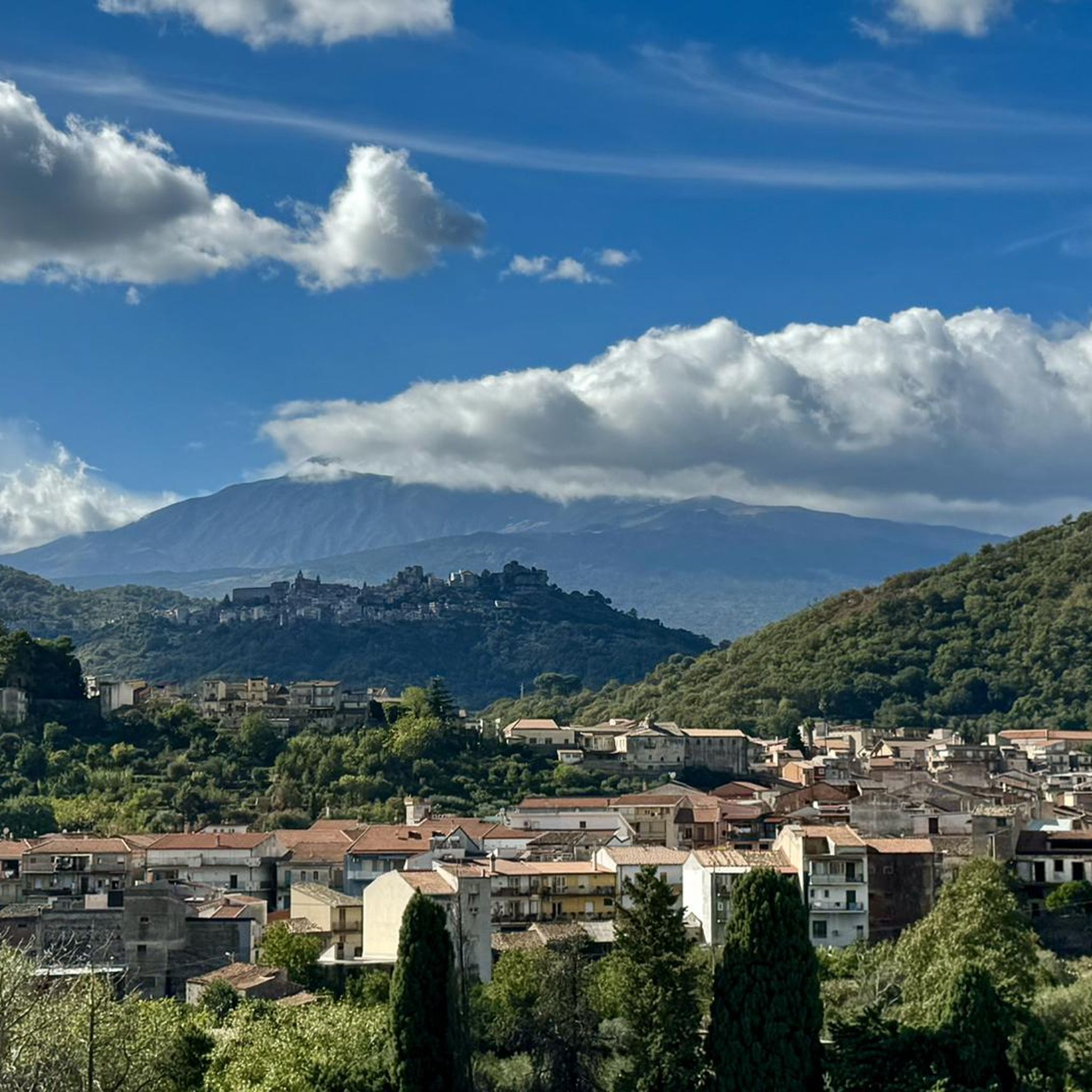
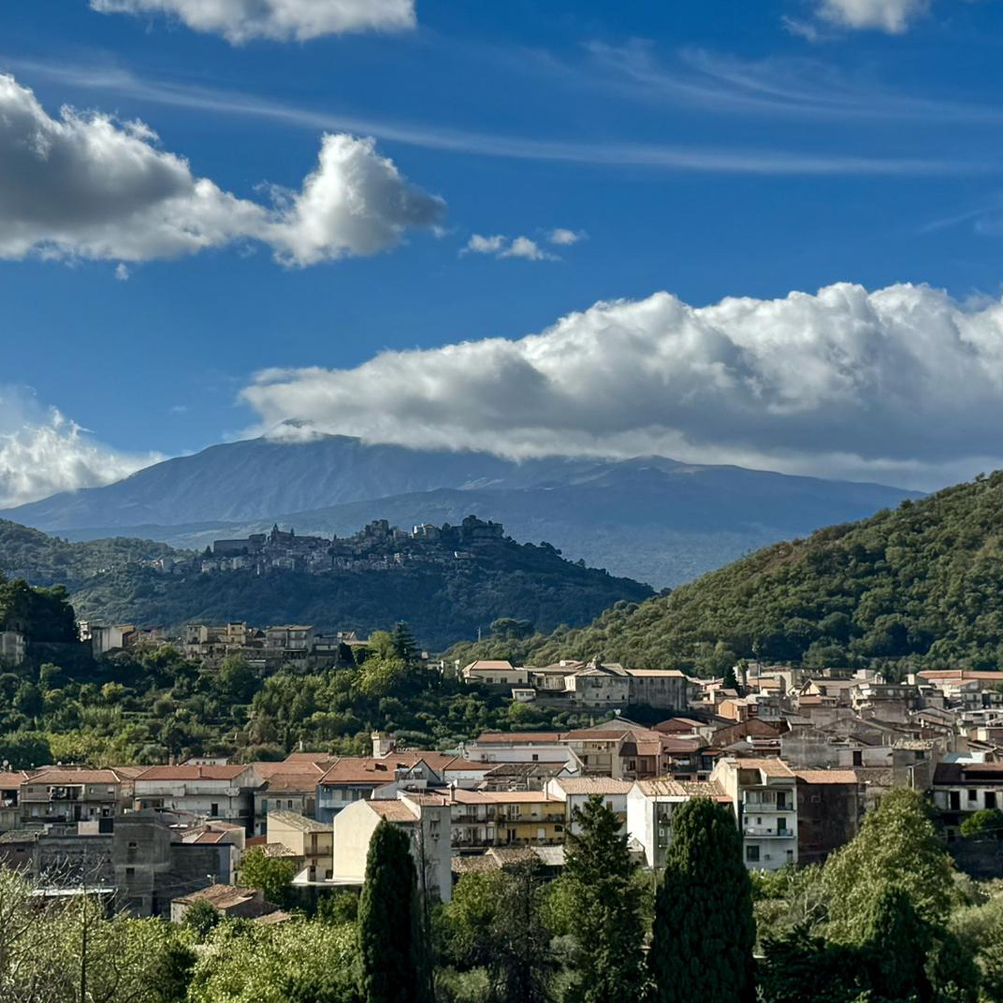
We were in the gorge at the end of October, and the river was carrying quite a lot of water at that time, so we had to turn around in both directions in good time. But there was relatively little going on, and the rock formations and the nature around them are really fantastic! If you are mobile, you can drive up to the nearby mountain village of Motta Camastra before or after the hike, and with a bit of luck you will catch a glimpse of Mount Etna, if it is not covered in clouds!
4
1
프랑카빌라 디 시칠리아 주변에서 가장 인기 있는 경로
프랑카빌라 디 시칠리아 주변에서 가장 인기 있는 명소


더 살펴보기
다른 지역의 최고의 러닝 트레일 & 경로를 살펴보세요.
