산타 이네즈 산맥 최고의 사이클링 경로
4.6
(54)
1,320
자전거 타는 사람
58
라이딩
산타 이네즈 산맥에서 하이킹하며 산타바바라 카운티 구석 부분까지 살펴볼까요? 산타 이네즈 산맥에 있는 모든 하이킹 및 워킹 경로 컬렉션 중 가장 멋진 하이킹 경로를 엄선하여 소개해드릴게요. 다른 하이커가 공유한 실제 팁과 사진을 살펴보고 후기를 읽으며 마음에 드는 산타 이네즈 산맥 워킹 경로를 찾아보세요.
마지막 업데이트: 7월 21, 2026
5.0
(2)
58
자전거 타는 사람
47.3km
03:48
1,390m
1,390m
The Gibraltar Road loop is a demanding touring cycling route that rewards your effort with continuously improving vistas over Santa Barbara, the Pacific Ocean, and the Channel Islands. As you…
257
자전거 타는 사람
27.3km
02:22
970m
970m
어려운 자전거 타기. 우수한 체력 필요. 대부분 포장된 지면. 실력과 관계없이 누구나 갈 수 있음.

무료 회원 가입
4.9
(7)
89
자전거 타는 사람
61.2km
03:34
250m
250m
보통 자전거 타기. 좋은 체력 필요. 대부분 포장된 지면. 실력과 관계없이 누구나 갈 수 있음.
4.0
(3)
70
자전거 타는 사람
29.4km
01:45
200m
200m
보통 자전거 타기. 좋은 체력 필요. 대부분 포장된 지면. 실력과 관계없이 누구나 갈 수 있음.
4.3
(4)
51
자전거 타는 사람
34.9km
02:17
450m
450m
어려운 자전거 타기. 우수한 체력 필요. 대부분 포장된 지면. 실력과 관계없이 누구나 갈 수 있음.
5.0
(2)
46
자전거 타는 사람
31.8km
02:03
390m
390m
보통 자전거 타기. 좋은 체력 필요. 대부분 포장된 지면. 실력과 관계없이 누구나 갈 수 있음.
34
자전거 타는 사람
69.5km
05:03
1,390m
1,390m
어려운 자전거 타기. 우수한 체력 필요. 대부분 포장된 지면. 실력과 관계없이 누구나 갈 수 있음.
5.0
(3)
87
자전거 타는 사람
18.6km
01:08
110m
110m
초급용 자전거 라이딩. 모든 체력 수준에 적합. 대부분 포장된 지면. 실력과 관계없이 누구나 갈 수 있음.
4.3
(3)
68
자전거 타는 사람
29.7km
01:48
230m
230m
보통 자전거 타기. 좋은 체력 필요. 대부분 포장된 지면. 실력과 관계없이 누구나 갈 수 있음.
5.0
(1)
34
자전거 타는 사람
29.2km
01:44
190m
190m
보통 자전거 타기. 좋은 체력 필요. 대부분 포장된 지면. 실력과 관계없이 누구나 갈 수 있음.
더 다양한 경로와 다른 탐험가들의 추천을 살펴보세요.
무료 회원 가입
이미 komoot 계정이 있나요?
투어 추천은 다른 사람들이 komoot에서 완료한 수천 개의 활동을 바탕으로 구성되어 있습니다.
오늘 무료 계정으로 시작하세요
다음 모험이 기다리고 있어요.
로그인 또는 가입하기

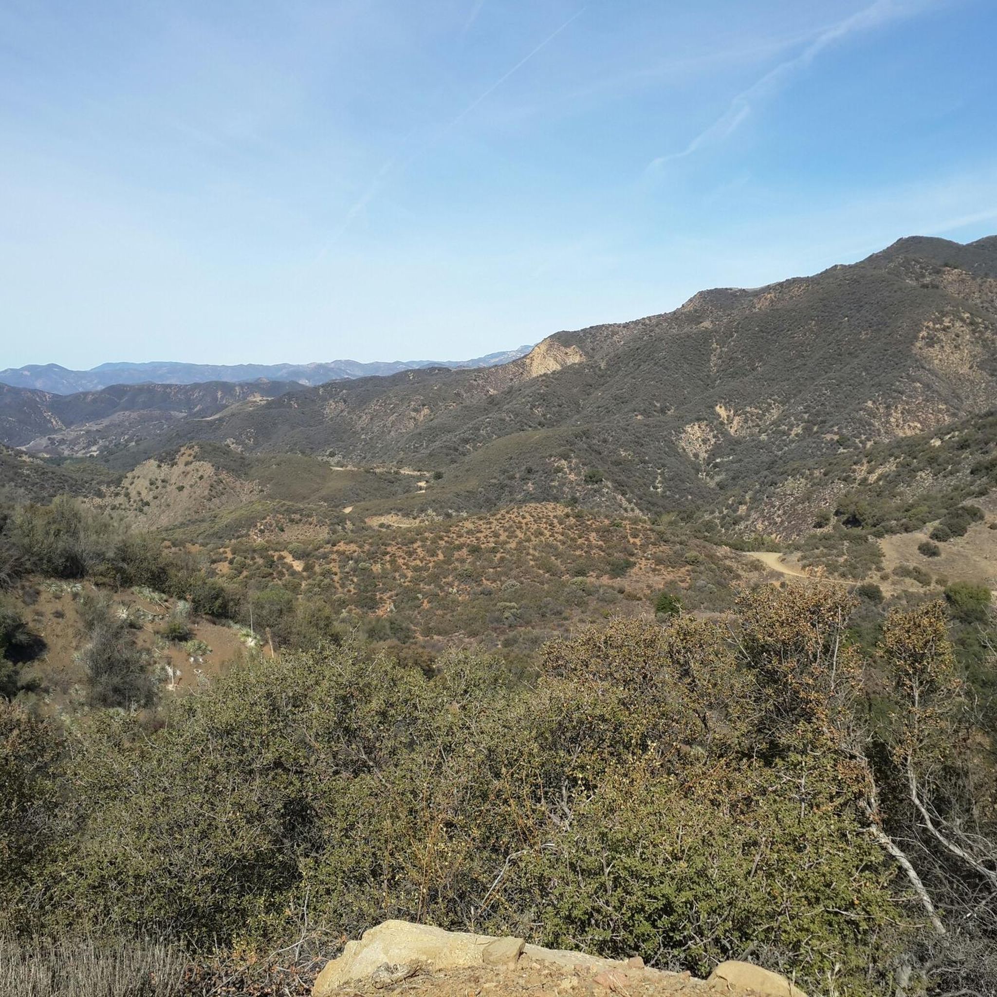
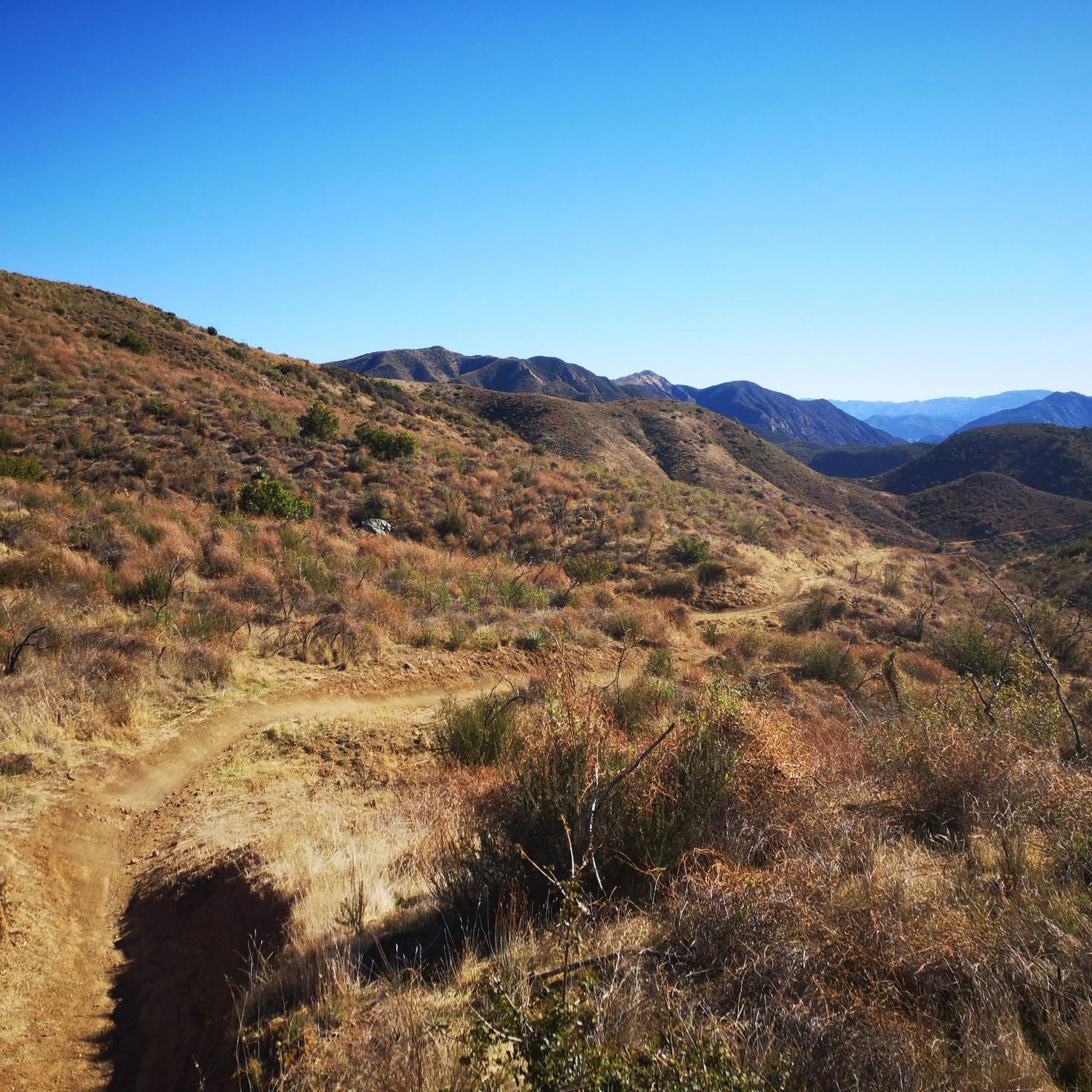


커뮤니티 팁

Elings Park has over nine miles of multi-use trails with great ocean views. The trails are best suited for beginner-level mountain biking or more advanced gravel riding. Electric or motorized bikes are not allowed on the trails.
0
0

As you ascend the Figueroa Mountain Road Climb West, prepare for a visual feast that makes every pedal stroke worthwhile. You'll be treated to increasingly expansive views unfolding across the rolling Santa Ynez Valley, with its patchwork of vineyards and ranchlands. Look out for the distinct San Rafael Mountains rising dramatically around you as you climb higher into the Los Padres National Forest. Highlights include the breathtaking vistas from the upper sections, where the sheer scale of the wilderness becomes apparent, and on clear days, you might even glimpse distant ridges and the unique chaparral-covered landscape that defines this beautiful and rugged part of California.
0
0

Early morning or near sunset are great times to run. It can get windy during the day so prepare for a nasty headwind if traveling west.
0
0
The Ojai-Ventura Bike Path is a scenic, car-free route open year-round, ideal for cycling and walking. The path, approximately 15 miles long, parallels Highway 33 and the Ventura River, connecting Ventura to Ojai. Dogs are welcome but must be leashed. Some sections feature a fenced horse trail alongside the main path. Starting in Ventura, the trail passes through Foster Park, Casitas Springs, Oak View, and Mira Monte.
0
0

This is an epic road to ride on. By no means an easy one, but the sweeping views of the San Rafael Wilderness Area make up for the effort.
0
0


One of the most beautiful government buildings in the United States, the Santa Barbara County Courthouse is a working courthouse. We are encouraged to explore what the grounds have in store for us. Here we find the sunken gardens where many weddings are held, an elevator to the 85-foot tall “El Mirador” bell tower with panoramic views of downtown Santa Barbara, many hand-painted rooms full of detail, and many wrought iron handrails and window coverings that make the courthouse what it is - spectacular. We open one of the many doors, behind which a court hearing is currently underway. We sit on the back bench and listen for a few minutes. Two felony handcuffed and shackled prisoners are paraded right past us.
3
0
산타 이네즈 산맥에서 가장 인기 있는 명소


더 살펴보기
다른 지역의 최고의 자전거 경로를 살펴보세요.
