산타크루즈 산맥 최고의 라이딩 경로
4.6
(289)
13,046
자전거 타는 사람
382
라이딩
산타크루즈 산맥에서 하이킹하며 산타클라라 카운티 구석 부분까지 살펴볼까요? 산타크루즈 산맥에 있는 모든 하이킹 및 워킹 경로 컬렉션 중 가장 멋진 하이킹 경로를 엄선하여 소개해드릴게요. 다른 하이커가 공유한 실제 팁과 사진을 살펴보고 후기를 읽으며 마음에 드는 산타크루즈 산맥 워킹 경로를 찾아보세요.
마지막 업데이트: 10월 11, 2026
5.0
(4)
460
자전거 타는 사람
84.0km
04:30
1,610m
1,610m
어려운 도로 자전거 타기. 우수한 체력 필요. 지면 대부분이 잘 포장되어 있고 라이딩하기 쉬움.
4.7
(3)
178
자전거 타는 사람
92.0km
05:05
1,830m
1,830m
어려운 도로 자전거 타기. 우수한 체력 필요. 지면 대부분이 잘 포장되어 있고 라이딩하기 쉬움.

5.0
(1)
135
자전거 타는 사람
104km
05:13
1,490m
1,490m
어려운 도로 자전거 타기. 우수한 체력 필요. 지면 대부분이 잘 포장되어 있고 라이딩하기 쉬움.
4.0
(3)
177
자전거 타는 사람
37.5km
02:05
730m
730m
보통 도로 자전거 타기. 좋은 체력 필요. 지면 대부분이 잘 포장되어 있고 라이딩하기 쉬움.
4.7
(3)
135
자전거 타는 사람
101km
05:21
1,590m
1,590m
어려운 도로 자전거 타기. 우수한 체력 필요. 지면 대부분이 잘 포장되어 있고 라이딩하기 쉬움.
4.3
(7)
113
자전거 타는 사람
34.0km
01:31
340m
340m
보통 도로 자전거 타기. 좋은 체력 필요. 지면 대부분이 잘 포장되어 있고 라이딩하기 쉬움.
78
자전거 타는 사람
104km
06:37
1,920m
1,920m
어려운 도로 자전거 타기. 우수한 체력 필요. 지면 대부분이 잘 포장되어 있고 라이딩하기 쉬움.
3.8
(4)
82
자전거 타는 사람
63.9km
02:53
630m
630m
보통 도로 자전거 타기. 좋은 체력 필요. 투어 중 라이딩하기 어려운 비포장 구간이 있을 수 있음.
4.0
(1)
44
자전거 타는 사람
49.7km
02:06
300m
300m
보통 도로 자전거 타기. 좋은 체력 필요. 지면 대부분이 잘 포장되어 있고 라이딩하기 쉬움.
40
자전거 타는 사람
87.2km
03:47
750m
750m
보통 도로 자전거 타기. 좋은 체력 필요. 지면 대부분이 잘 포장되어 있고 라이딩하기 쉬움.
더 다양한 경로와 다른 탐험가들의 추천을 살펴보세요.
이미 komoot 계정이 있나요?
투어 추천은 다른 사람들이 komoot에서 완료한 수천 개의 활동을 바탕으로 구성되어 있습니다.
오늘 무료 계정으로 시작하세요
다음 모험이 기다리고 있어요.





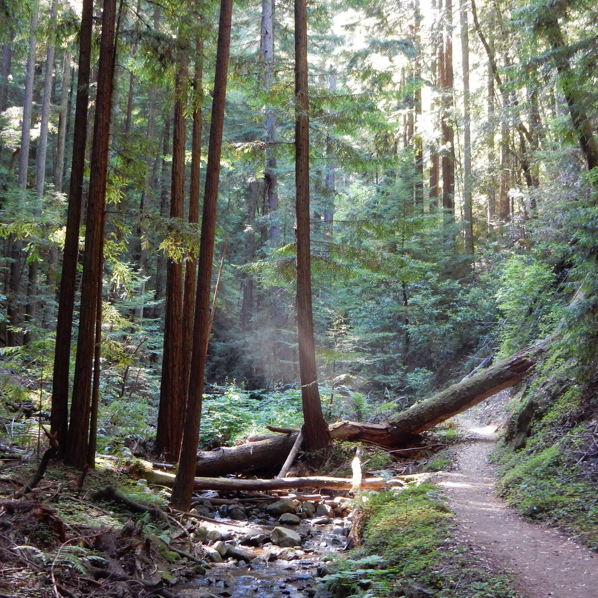
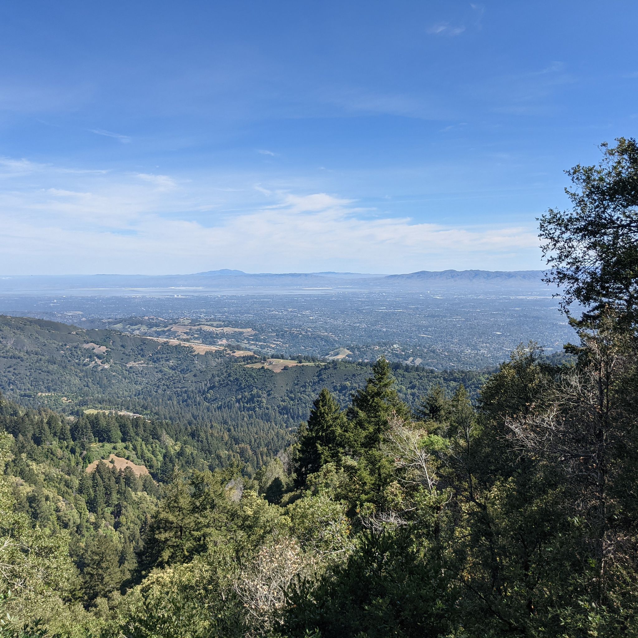
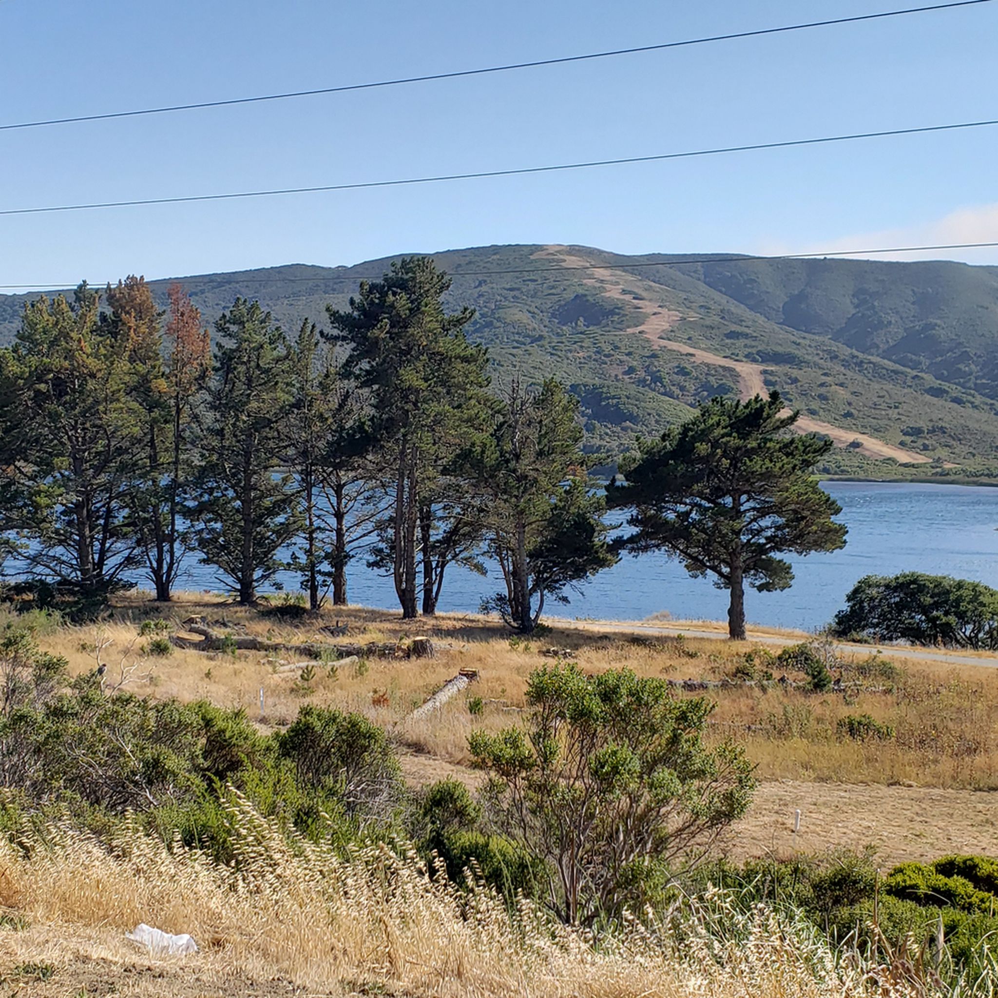
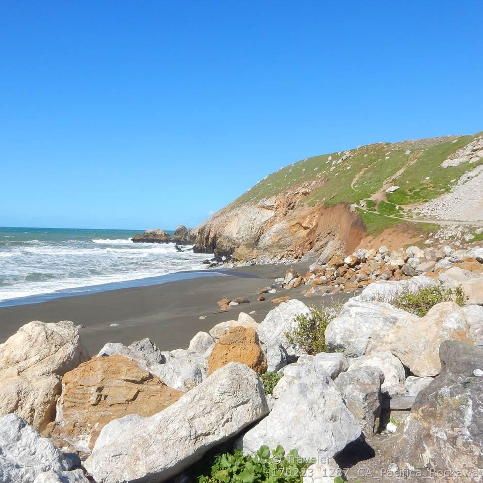
산타크루즈 산맥의 다른 모험


커뮤니티 팁

Alise’s Restaurant is a popular spot for both cyclists and motorcyclists. The food is good, the staff is known for being friendly, and the place has a laid-back, welcoming vibe—perfect for a post-ride meal or coffee break.
1
0

San Andreas Lake is a hidden gem tucked into the hills of San Mateo County, just south of San Francisco. Originally a natural sag pond formed by the San Andreas Fault, it was transformed into a reservoir in the late 1800s and now serves as a vital water source for the region. The lake is off-limits for swimming or boating, but you can enjoy its peaceful beauty from the San Andreas Trail or the popular Sawyer Camp Trail, which runs along its eastern edge. It's a serene spot where you can walk or bike with sweeping views of the water and surrounding hills, all while standing right on one of the world’s most famous fault lines. Despite its proximity to urban life, San Andreas Lake offers a quiet, scenic escape steeped in natural and historical significance.
1
0

The Bike Hut is a small hut with fresh water, organic teas and coffee and a variety of snacks for cyclist passing by. It is self-serve and open 24/7. There is also a small picnic area, a bathroom and a message board for posting road conditions or notes to fellow cyclists.
0
0

Devils slide itself is nice and just to the south is the beautiful Gray Whales Cove beach. There is plenty of parking at both places. Two notes for cyclist: 1. cycling along Hwy 1, coming from Pacifica, requires climbing on a relatively narrow but highly frequented road. It is not a long climb until the turnoff to Devils slide, but it might be stressful for cyclists who are not used to riding in heavy traffic. Hwy 1 south of Devils slide has enough space for everyone. 2. If you cycle on Hwy1, then check the wind forecast beforehand. Dominant wind direction is NW, which means cycling southbound maximizes tailwind and minimizes breathing in all the air pollution from stinky cars.
0
0
Didn’t OLR used to turn into Dirt before reaching Skyline? Is it all pavement now?? Scott
0
0


Stevens Creek Reservoir spans 87 acres and is surrounded by a 1,063-acre park. Visitors can enjoy hiking, horseback riding, picnicking, and limited fishing. Seasonal boating for low-power boats is available from mid-April to mid-October. The park is open daily from 8 a.m. to sunset, with vehicle entry fees collected year-round at the Chestnut Parking Lot. Visitors can explore natural beauty and historic remnants like the Villa Maria orchard.
1
0
Here is the entrance to Uvas Canyon County Park. The park has several small falls surrounded by forest, walking less than a mile in, you’ll find a waterfall. Here you can find water fountains, restrooms and a campground. This is the perfect place to end or start your ride.
0
0
산타크루즈 산맥에서 가장 인기 있는 명소


더 살펴보기
다른 지역의 최고의 로드 사이클링 경로를 살펴보세요.
