산타아나 산맥 최고의 라이딩 경로
4.5
(246)
8,706
자전거 타는 사람
43
라이딩
산타아나 산맥에서 하이킹하며 오렌지 카운티 구석 부분까지 살펴볼까요? 산타아나 산맥에 있는 모든 하이킹 및 워킹 경로 컬렉션 중 가장 멋진 하이킹 경로를 엄선하여 소개해드릴게요. 다른 하이커가 공유한 실제 팁과 사진을 살펴보고 후기를 읽으며 마음에 드는 산타아나 산맥 워킹 경로를 찾아보세요.
마지막 업데이트: 8월 17, 2026
3.0
(2)
11
자전거 타는 사람
25.7km
01:03
90m
90m
Cycle the easy 16.0-mile Lake Elsinore loop, enjoying lake views and a minimal 293 feet of elevation gain in about an hour.
26.1km
01:10
140m
140m
Easy 16.2-mile road cycling loop in Lake Elsinore, California, offering views of Lake Elsinore and historic downtown.

무료 회원 가입
1
자전거 타는 사람
28.7km
01:51
800m
800m
Challenge yourself on the 17.8-mile Ortega Highway to Ortega Oaks Candy Store road cycling route, climbing 2615 feet.
3.0
(1)
227
자전거 타는 사람
보통 도로 자전거 타기. 좋은 체력 필요. 투어 중 라이딩하기 어려운 비포장 구간이 있을 수 있음.
5.0
(1)
70
자전거 타는 사람
30.2km
01:33
300m
300m
보통 도로 자전거 타기. 모든 체력 수준에 적합. 투어 중 라이딩하기 어려운 비포장 구간이 있을 수 있음.
4.0
(1)
55
자전거 타는 사람
58.8km
02:42
570m
560m
보통 도로 자전거 타기. 좋은 체력 필요. 지면 대부분이 잘 포장되어 있고 라이딩하기 쉬움.
5.0
(1)
31
자전거 타는 사람
48.6km
02:25
750m
740m
보통 도로 자전거 타기. 좋은 체력 필요. 지면 대부분이 잘 포장되어 있고 라이딩하기 쉬움.
31
자전거 타는 사람
39.3km
01:56
480m
480m
보통 도로 자전거 타기. 좋은 체력 필요. 투어 중 라이딩하기 어려운 비포장 구간이 있을 수 있음.
5.0
(1)
50
자전거 타는 사람
78.6km
03:34
660m
660m
보통 도로 자전거 타기. 좋은 체력 필요. 지면 대부분이 잘 포장되어 있고 라이딩하기 쉬움.
26
자전거 타는 사람
61.8km
02:57
790m
790m
보통 도로 자전거 타기. 좋은 체력 필요. 투어 중 라이딩하기 어려운 비포장 구간이 있을 수 있음.
더 다양한 경로와 다른 탐험가들의 추천을 살펴보세요.
무료 회원 가입
이미 komoot 계정이 있나요?
투어 추천은 다른 사람들이 komoot에서 완료한 수천 개의 활동을 바탕으로 구성되어 있습니다.
오늘 무료 계정으로 시작하세요
다음 모험이 기다리고 있어요.
로그인 또는 가입하기

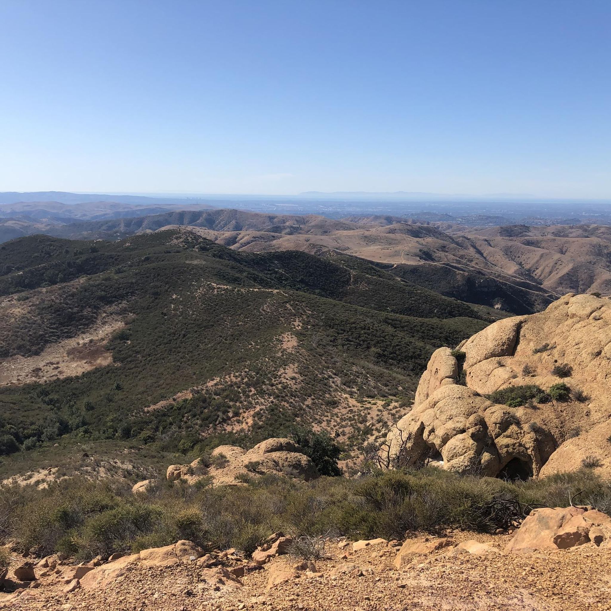
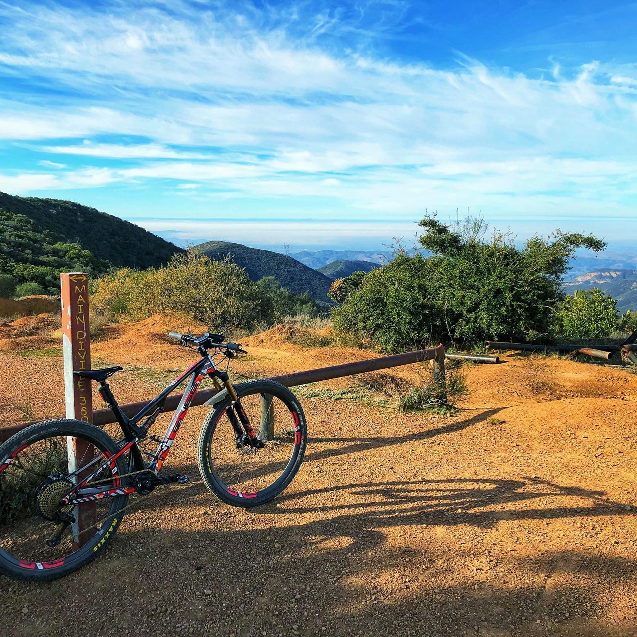
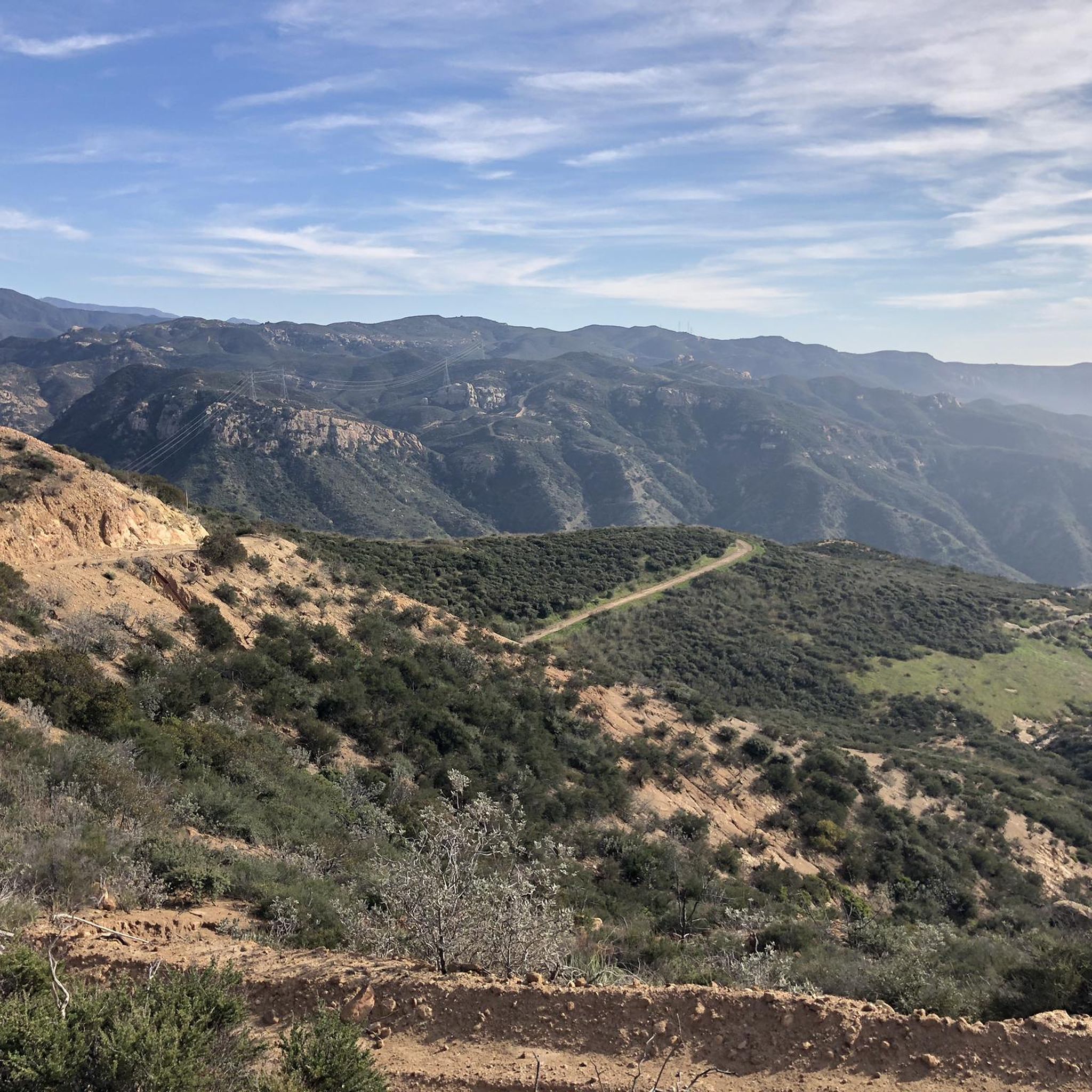
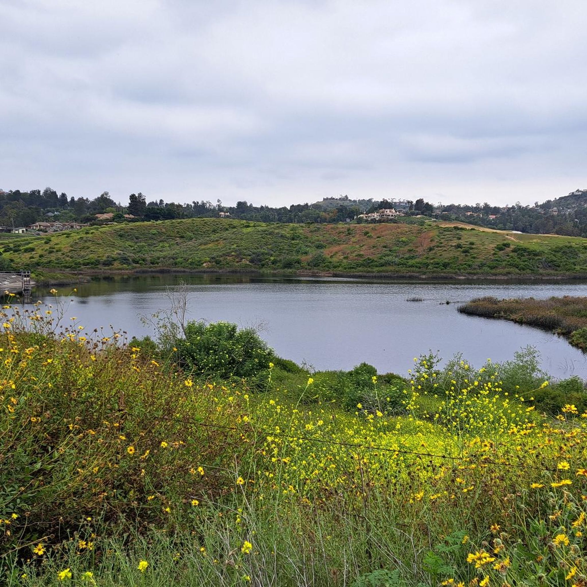
산타아나 산맥의 다른 모험

커뮤니티 팁

The climb from imperial to cannon is no joke but it’s a short walk to the top so bring flipflops😀.
0
0

Santiago Canyon Road is a scenic favorite for road cyclists in Orange County. It’s a long, winding stretch with rolling hills, light traffic, and wide shoulders in most parts. The views of open hills and oak trees make the climb worth it, and you’ll find classic stops along the way for a break.
0
0
Cook’s Corner is a classic stop for cyclists riding through Santiago Canyon and one of the most popular biker hangouts in Southern California. It’s casual and bike-friendly, with shaded picnic tables and plenty of space to park. Grab a burger or a cold drink, rest your legs, and soak in the lively atmosphere—especially on weekends when it’s packed with motorcycles and live music.
0
0

Bring plenty of water. There only are water fountains midway in Anaheim.
0
0

Nice wooden bridge along the Santa Ana River Trail. It takes you over the river and gives you a good view of the water.
1
0
Santiago Canyon Road is a great option for a ride with rolling hills and great views. As you get to the top of each hill, you are treated with a great view of the valley you just climbed out of.
0
0
Angel Stadium of Anaheim is the home of the Los Angeles Angels of Anaheim. The Santa Ana River Trail passes right by the stadium, so you get a great view. As you can imagine, it can get pretty busy on the trail on a game day.
1
0

Bike along the Santa Ana River Trail for a fantastic view of Angel Stadium’s iconic “Big A” sign, a 230-foot-tall landmark that originally served as the stadium's scoreboard. The halo atop the sign lights up after every Angels victory, glowing even brighter for home wins. Be sure to avoid the surrounding streets on game days, as the area can get crowded.
1
0
산타아나 산맥에서 가장 인기 있는 명소


더 살펴보기
다른 지역의 최고의 로드 사이클링 경로를 살펴보세요.
