산 비아지오 플라타니 최고의 워킹 & 하이킹 경로
4.3
(22)
92
등산객
13
하이킹
정확한 경로를 찾는 것이 때로는 어렵지만 산 비아지오 플라타니에서 하이킹을 하면 다양한 경치를 마음껏 감상할 수 있답니다. 산 비아지오 플라타니에서 가장 멋진 하이킹과 워킹 중에서 마음에 드는 활동을 시작해보세요.
마지막 업데이트: 10월 8, 2026
4.3
(6)
26
등산객
5.72km
02:13
250m
250m
어려운 하이킹. 좋은 체력 필요. 튼튼한 신발을 신고 미끄러지지 않게 조심해야 하며, 높은 산을 오른 경험이 있어야 함.
4.7
(6)
24
등산객
4.26km
01:44
240m
240m
어려운 하이킹. 모든 체력 수준에 적합. 튼튼한 신발을 신고 미끄러지지 않게 조심해야 하며, 높은 산을 오른 경험이 있어야 함.

4.0
(1)
7
등산객
보통 하이킹. 좋은 체력 필요. 실력과 관계없이 누구나 쉽게 갈 수 있는 길.
3.0
(1)
3
등산객
3.29km
00:59
100m
100m
초급용 하이킹. 모든 체력 수준에 적합. 실력과 관계없이 누구나 쉽게 갈 수 있는 길.
4.0
(2)
3
등산객
13.4km
04:05
460m
460m
보통 하이킹. 좋은 체력 필요. 실력과 관계없이 누구나 쉽게 갈 수 있는 길.
더 다양한 경로와 다른 탐험가들의 추천을 살펴보세요.
이미 komoot 계정이 있나요?
투어 추천은 다른 사람들이 komoot에서 완료한 수천 개의 활동을 바탕으로 구성되어 있습니다.
오늘 무료 계정으로 시작하세요
다음 모험이 기다리고 있어요.
산 비아지오 플라타니 주변 인기 장소
커뮤니티 팁

The Chiesa Madre (Mother Church) of Sant'Angelo Muxaro is the town's most important religious building and bears the name of its patron saint, Sant'Angelo Martire. Built in the late Baroque style in the mid-18th century, this church is a three-aisled basilica with an ornate interior, including an altarpiece by Francesco Guadagnino and a silver crucifix.
3
0

This itinerary of about 23.4 km connects the hilltop village of Sant’Angelo Muxaro to the Cattolica Eraclea plain, in a hiking trip full of contrasts and suggestions. It is a long and immersive route, designed for expert walkers who want to cross the most authentic Sicily, far from the tourist routes. Starting from Sant’Angelo Muxaro, the path winds through rural paths, wooded stretches, natural canyons and vast cultivated plains. The landscape changes several times: from rocky reliefs to gentle slopes and finally to open plains, breathing in the history and culture of peasant civilization. The arrival in Cattolica Eraclea, a village overlooking the countryside and near the sea, concludes a physical and sensorial experience that gives satisfaction and connection with the territory. Route difficulty: Difficult – Requires physical resistance, orientation and adequate equipment. Travel tips: • Suitable for expert hikers. • Plan intermediate stops or a local guide. • Ideal in spring or autumn to avoid intense heat.
0
0

The route was done with gym equipment… But we recommend at least trekking shoes as a basic item of clothing for greater grip on the steepest sections… Not particularly challenging…
0
0

the Statue of Santa Rosalia and cross is next to the car park positioned high on the hill overlooking the vast beautiful countryside below towards Castronovo di Sicilia and Lake Fanaco From here it’s a lovely walk downhill to The Hermitage of Santa Rosalia best visited when fewer tourists attending, especially if your intent is paying a visit into the grotto where you have to prostrate yourself a bit to access the sleeping saint --- the Statue of Santa Rosalia and cross is next to the car park positioned high on the hill overlooking the vast beautiful countryside below towards Castronovo di Sicilia and Lake Fanaco From here it’s a lovely walk downhill to The Hermitage of Santa Rosalia, best visited when fewer tourists are attending, especially if your intent is paying a visit into the grotto where you have to prostrate yourself a bit to access the sleeping saint
1
0

It was not open when we were there end of September
0
0

The Hermitage of Santa Rosalia alla Quisquina, located on the slopes of Mount Quisquina in Santo Stefano Quisquina in Sicily, is near the cave where Santa Rosalia spent much of her life.
7
0
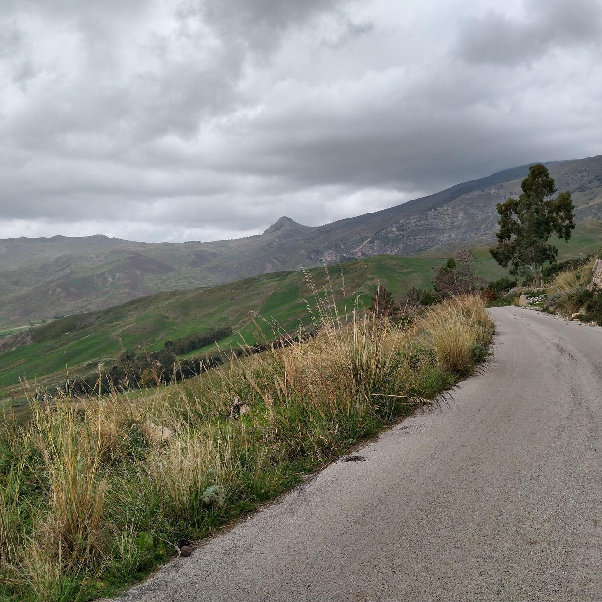
At this point, at the beginning of the climb towards Pizzo della Rondina, you can enjoy a beautiful view of what will be the destination of the day.
1
0
Lake Fanaco is a beautiful artificial basin in Sicily, created in 1953. It is home to flora, fauna and serves for drinking water. The road along the lake is very quiet.
0
0
산 비아지오 플라타니 주변에서 가장 인기 있는 경로
산 비아지오 플라타니 주변에서 가장 인기 있는 명소


더 살펴보기
다른 지역의 최고의 하이킹를 살펴보세요.
